Paper Mill Falls (Avon)
Location: South of the village of Avon; in Papermill Park; Town of Avon, Livingston County, New York.
Maps: Google Map; Topographic; Interactive.
GPS Coordinates: Papermill Falls: N 42.87106 / W 77.76092
Parking: N 42.87106 / W 77.76092
Directions: Located south of the village of Avon. From Avon take Rt. 39 South and make a left on to Paper Mill Rd. A small community park will be on your left. This is prior to crossing the bridge over the creek and if you reach the railroad tracks, you’ve gone too far.
Use Google Maps to get turn-by-turn directions.
Parking: Park in the public parking area the entrance leads to. Space for 10 cars.

Weather
Information / Accessibility / Accommodations
Number of falls: 1
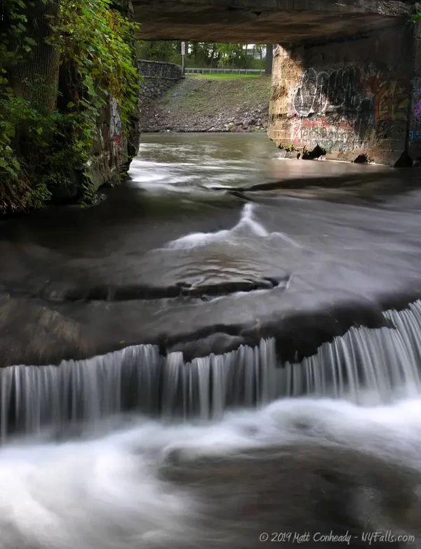
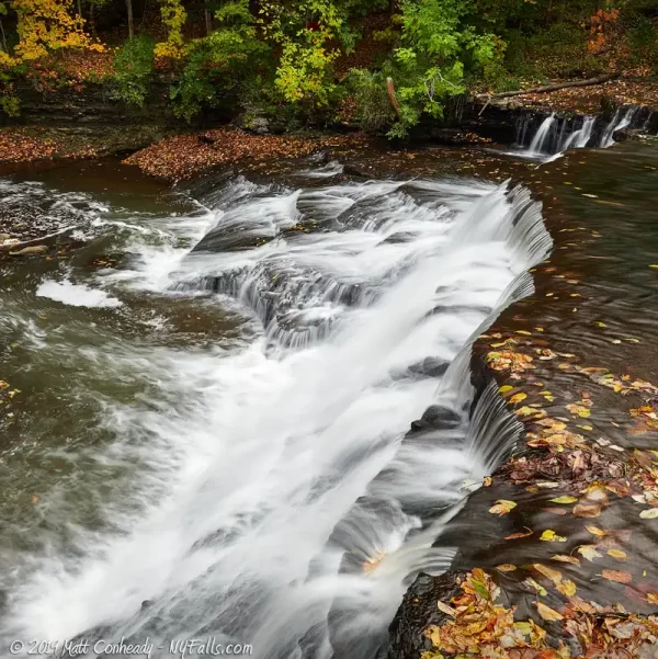
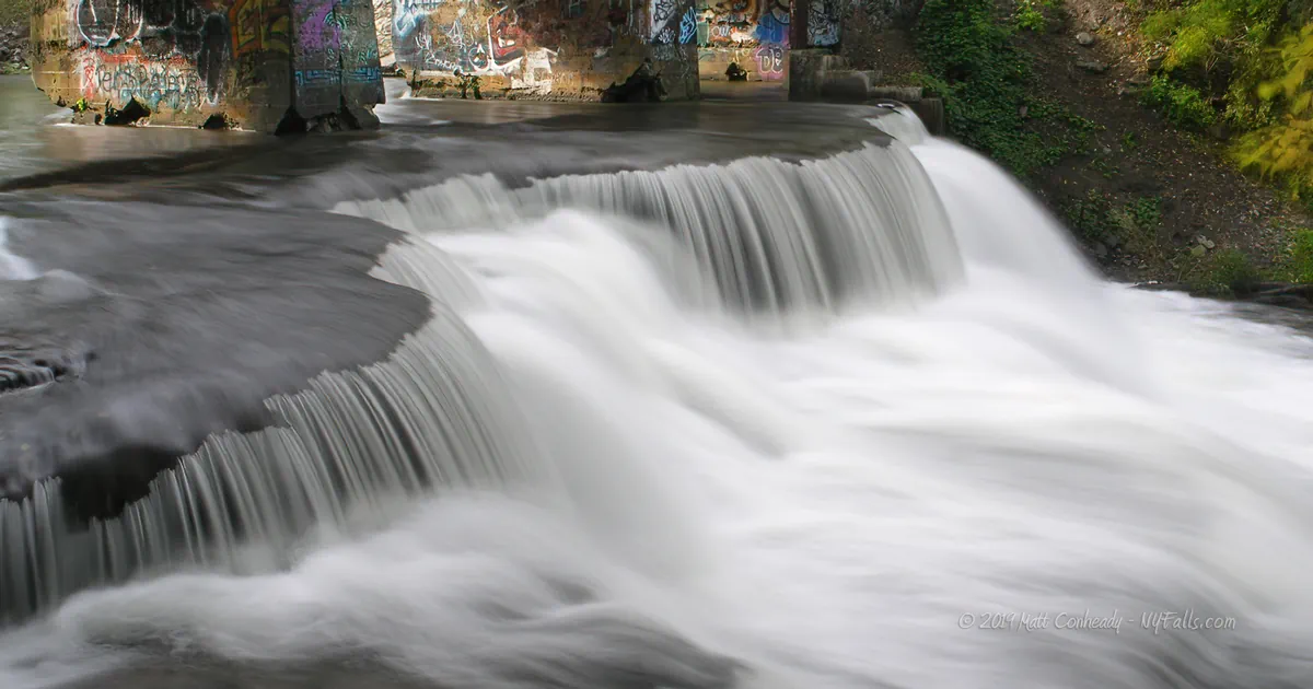
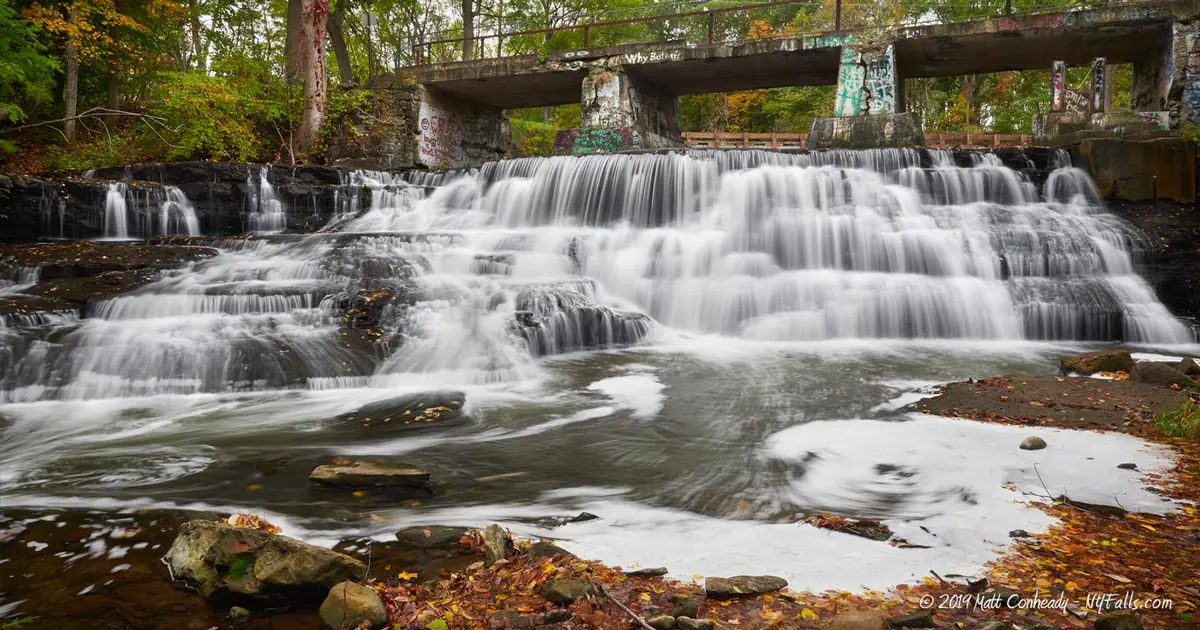
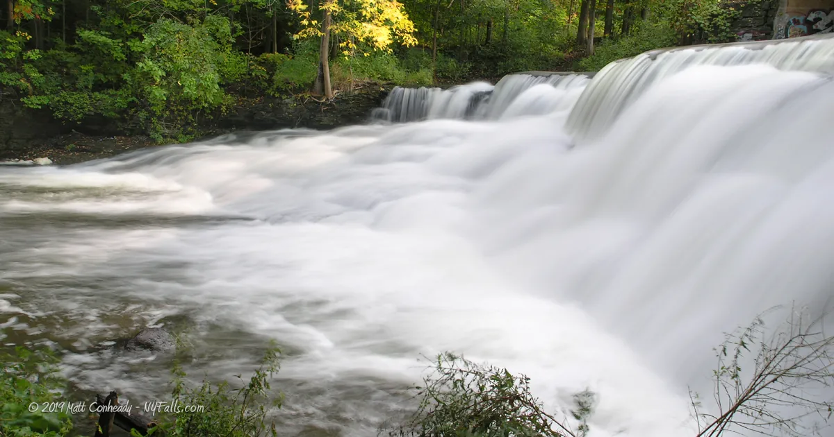
Size/Types: Wide random cascade that emerges from an old (sometimes graffiti-covered) concrete bridge. Roughly 12 ft high.
Best time to visit: Spring through fall.
Flow: Medium-high.
Waterway: Conesus Creek, which is the outlet of Conesus Lake. It heads north and passes over two dams in Littleville. It joins the Genesee River just west of Avon.
Time: 5 minutes.
Seasons/Hours: Visible year-round from pedestrian bridge above the crest. Park closes at dark.
Admission: Free.
Handicap accessibility: Yes.
Pets: Allowed (on leash).
Accommodations: Trash cans; informational sign; picnic tables; fishing access.
Description
Sometimes spelled Papermill rather than two words. Historically it is two words.
This former mill site is now a small town park and fishing access site. The pedestrian bridge offers an excellent view of the falls and creek before the bend, but leads nowhere. The foundation of the bridge is painted heavily with graffiti which adds a splash of color to the scene. Conesus Creek, which flows from Conesus Lake just south of here passes under the old concrete bridge and over the jumble of frothy drops of the falls. Papermill, which crosses over the creek just upstream is beautifully decorated with cobblestones and a millstone from this site.
Easily visible from all sides, and with a few picnic tables nearby, it’s a neat little stop if you are in the area.
History
The town of Avon was originally formed in 1789 under the name “Hartford” by Dr. Timothy Hosmer, one of the first settlers here and native of the namesake city in Connecticut. Since its early settlers, Avon was known for its mineral-rich springs, from which a thriving spa industry grew. With the Conesus Outlet and the Genesee River passing through, it also thrived from the milling and shipping industry. Livingston County, with an ample supply of lumber and water-power, became one of New York’s most productive paper-producing regions of the mill era.
It was difficult to track down specific information on this mill site. This was apparently the site of a short run flour mill and then paper mill called the “Wadsworth Mills,” run by William Austin Wadsworth, who operated several mills in the county at the time.
An excerpt from “Annual meeting of the Livingston County Historical Society” (1912) reads:
…we struck the Wadsworth mills. I think they have been burned down three times where the paper mill now stands. The paper mill ran for a number of years did a good business. The man who owned it became bankrupt however and the building stands there yet. The place was splendidly built. The frame-work was of white pine. Mr. Austin Wadsworth repaired the covering to it and there she stands. The mill became idle and finally the machinery got so rusty it was worthless and was sold for junk.

Hiking / Walking Trails
Difficulty: Easy.
Markings: None.
Distance: Several feet from the parking area.
Description: From the parking area, proceed east towards the pedestrian bridge at the crest of the falls. You can cross the bridge and follow a small trail on the left to the creek at the base. You can also climb down to the bank on the western side, but it’s a little steep and overgrown at times.
Map: Interactive.
Papermill Falls Interactive Map
Papermill Falls Media
Videos
Coming soon…

Interesting Stuff
Ashantee 5 Arch bridge
Head north on Rt. 39 to see the Ashantee 5 Arch bridge, a 200 ft long, 12 ft wide limestone railroad bridge built in 1857 to carry Genesee Valley Railroad Company trains across Conesus Creek, making Avon the hub for Western NY traffic. It was abandoned in 1941. Look like overkill for such a small creek? This creek was known to flood often prior to the dam being built across the street just below Littleville Rd. Overflow from this dam is commonly referred to as Ashantee Falls. Just upstream from that and barely visible from Cemetery Rd, is Littleville Falls. Both are on private property and not accessible to the public. No trespassing.

Photography Tips
The Falls
- The best view is from downstream in the creek. In spring this will mean getting wet up to your knees.
- Try to include the bridge in your shots.
Silky Water Effect
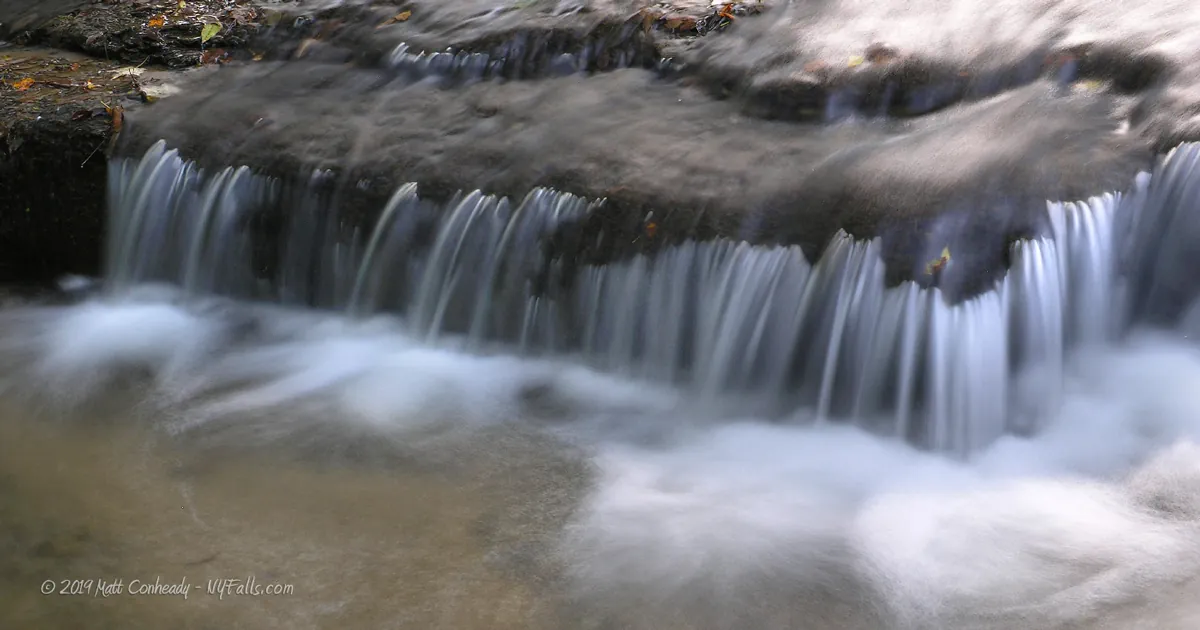
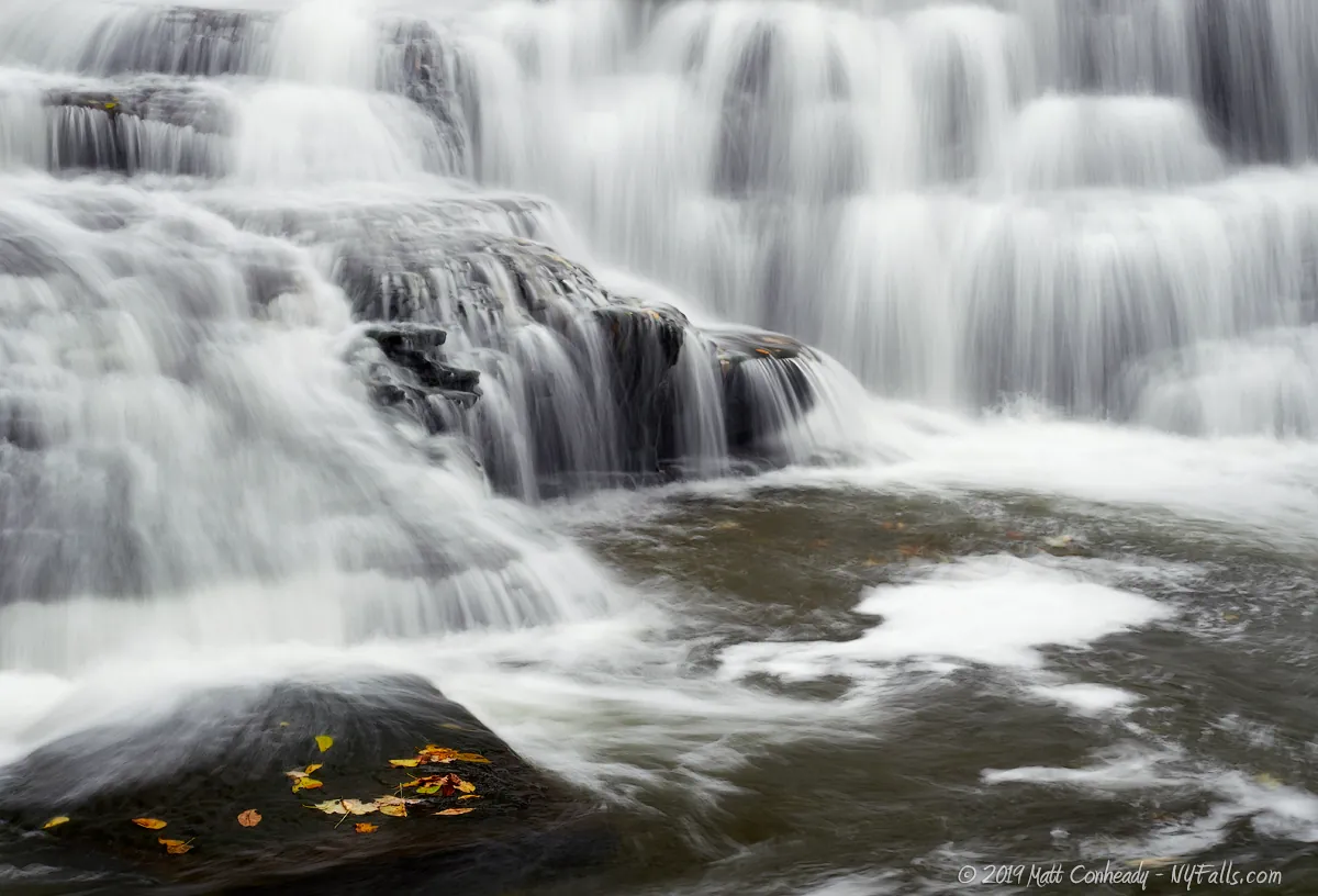
- To get that smooth cotton-candy look to the falls, you need to use a Neutral Density (ND) filter on your lens. The ND filter will block some of the light from entering the lens without altering the color, and thus allow your shutter to stay open longer. This blurs the water and creates a soft white gloss to the foamy areas of the falls. Check out the article for the all the details.
More tips
- See the Articles for more photography tips.
Who to Contact
Town of Avon
27 Genesee Street
Avon, NY 14414
Phone: (585) 226-2425
Fax: (585) 226-9299
[email protected]


