Horseshoe Mine Falls
Location: Within Shawangunk Ridge State Forest; Town of Wawarsing; Ulster County; New York.
Maps: Google Map; Topographic; Interactive map.
GPS Coordinates: Horseshoe Mine Falls: N 41.66844 / W 74.41453
Directions: Take US-209 to Spring Glen. Turn east onto Old Mountain Rd and then make an immediate left onto Lewis Rd. Lewis Rd is a narrow paved road with gravel shoulder. Follow it about 0.8 mile, past the Spring Glen Campground, and pull over where the gravel shoulder widens a bit. There are no signs denoting the falls or a trail, just a yellow sign on a tree that says “Motorized Vehicles Prohibited.”
Or use Google Maps.
Parking: Park along Lewis Rd.

Weather
Information / Accessibility / Accommodations
Number of falls: 1.
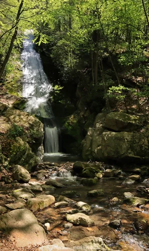
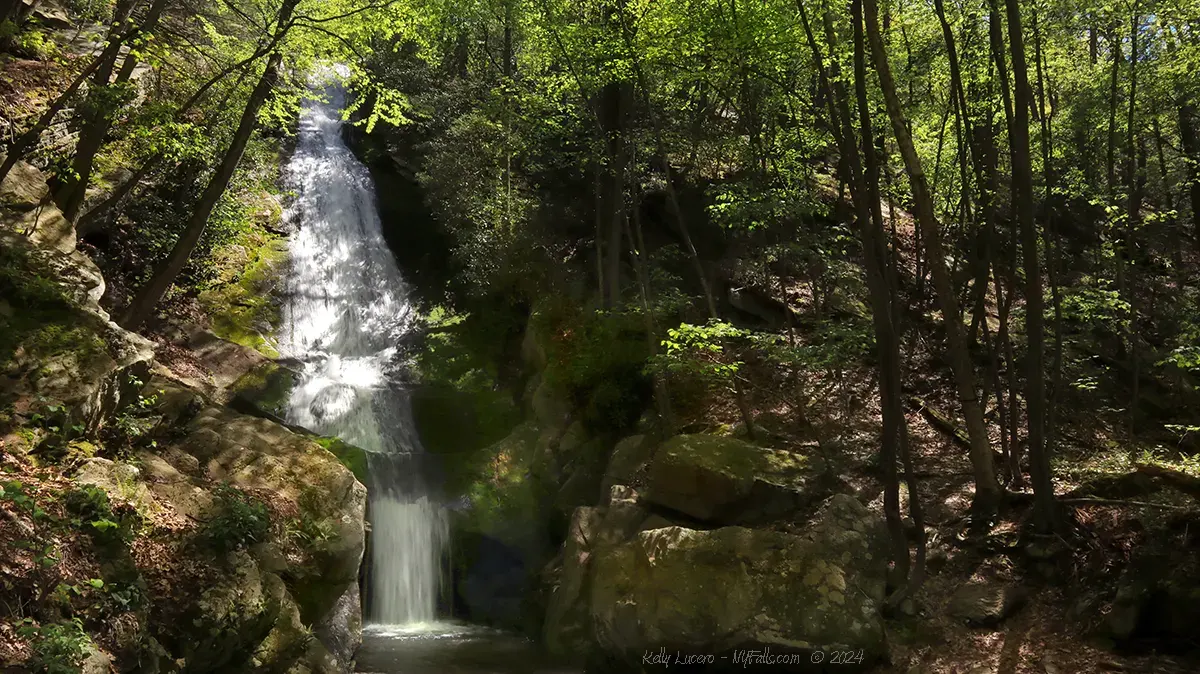
Size/Types: A steep and narrow slide about 50+ feet down a mossy cliff, at which point the water hits a few ledges that jut out. The final 6-7 ft drops over an entrance to an old mine shaft. Overall it’s upwards of 70 ft in height.
Best time to visit: Winter, Spring and Fall.
Flow: Low. This unnamed tributary is seasonal. Visit in early spring or after periods of rain.
Waterway: An unnamed tributary to Sandburg Creek. The tributary starts about 200ft uphill and tumbles over a smaller waterfall before this falls (near where the State Forest Yellow Trail crosses over it). After Horseshoe Mine Falls, the tributary reaches the marshland surrounding Sandburg Creek. Sandburg Creek flows north through Ellenville and joins with Napanoch Creek just north of there. Napanoch Creek flows northeast and empties into the Hudson River at Kingston. The Hudson flows south through New York City and into the Atlantic Ocean.
Time: 30 minutes.
Seasons/Hours: Open all day/all year. Not illuminated at night.
Admission: Free.
Handicap Accessibility: Not accessible at all.
Pets: Pets should be on a leash.
Accommodations: Only trails.
Description
AKA: Buttermilk Falls; Buttermilk Falls Mine, Horseshoe Kill Falls (erroneously)
Horseshoe Mine Falls, located in the Shawangunk Ridge State Forest near the hamlet of Spring Glen is a stunning 60+ foot cascade that ends with a plunge over the entrance to an old mining tunnel. The waterfall, also known as Buttermilk Falls, is fed by an unnamed mountain stream, offering a tranquil and scenic destination for visitors and a highly unique cascade to check off the waterfall enthusiast’s list. The site is easily accessible with a short, quarter-mile hike from the roadside yet is still off the beaten path, making it a great spot for nature lovers looking for a short adventure.
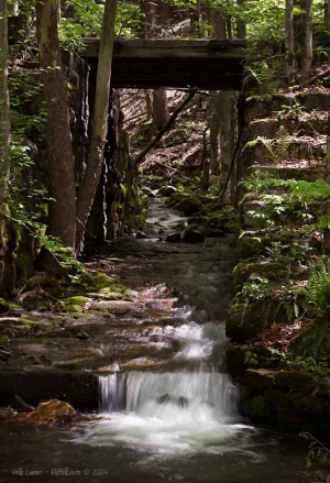
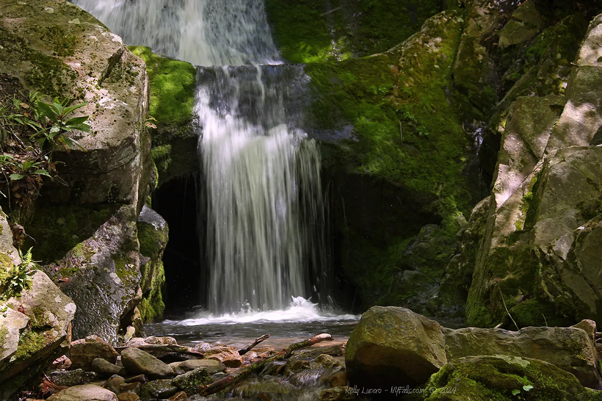
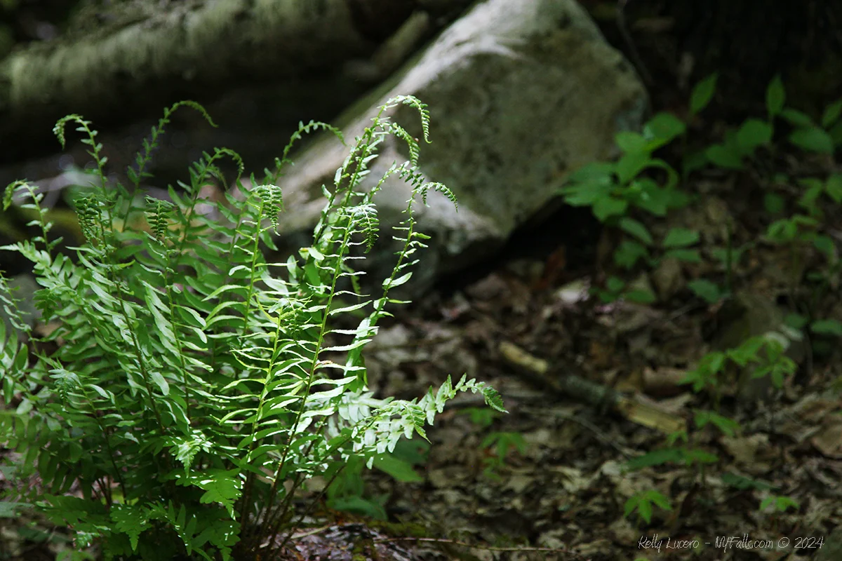
The falls features a striking steep slide about 50 ft down and then cascades down jagged rock ledges before reaching a tunnel opening at its base. The water flows gracefully, creating a delicate curtain over the entrance to the former mine, with its upper segments gently trickling over moss-covered rocks. After heavy rainfall, the falls become more dramatic, covering the mine entrance. In low flow, the entrance is clearly visible, adding a sense of mystery and wonder to the scene. The surrounding area, thick with trees and ferns, frames the waterfall, giving visitors a sense of secluded tranquility amidst the natural landscape.
The tunnel’s entrance, situated directly beneath the waterfall, is an exploratory mineshaft dubbed “Horseshoe Mine.” It creates a unique landscape feature. While one can walk through the shallow pool below the falls, take a quick shower, and enter the mine under the falls, for obvious safety reasons, this is discouraged. The shaft was abandoned after a short while and while it is a few hundred feet long, doesn’t lead anywhere interesting.
History
Little is known about the Horseshoe Mine here. It’s estimated to have been dug sometime between 1838 and 1850, under the assumption that the mining company was the North American Coal & Iron Company who dug a series of exploratory mines along Shawangunk Mountain, in search of iron (or possibly lead and zinc) during that time. It’s likely since these minerals have been found in mines in the region, but not in great quantities. The Ellenville Mine, just north of here, began operation around the same time, and operated for over 50 years along a 6ft vein of copper and zinc ore. It’s likely that exploratory tunnels were dug along the mountain to find additional veins. Not highly profitable, North American Coal & Iron sold it and it changed hands numerous times. Today it’s noted for its beautiful quartz crystals.
The eastern ridge of the mountain is known for its “Shawangunk Grit,” a light gray quartz conglomerate that was used to make millstones. In the 1800s, Ulster County had a small, but blossoming millstone industry. It’s possible (but unlikely) the mine was a part of an effort to locate that deposit via the west side of the mountain. Ulster millstones from Shawangunk Mountain were known as Esopus stones, named for the port settlement of Esopus, from which they were shaped and shipped (present day Kingston). Around 1900, a 30 inch Esopus stone would cost $15, while one exceeding 60 inches would run upwards of $100.
One fact I can confirm about the mine is that they did not mine horseshoes from here.

Hiking / Walking Trails
Difficulty: Easy. Slight gradient.
Markings: Dirt and gravel trail.
Distance: A quarter mile one way.
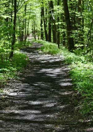
Description: From Lewis Rd locate the stream and an old rail bridge crossing over it. To the left of this bridge is a gravel trail leading into the woods. Follow it up to bridge level. The old O&B Rail line used to cross here. It doesn’t lead to the falls, so you can continue straight on the trail, going uphill until you reach the falls.
Map: Interactive.
Horseshoe Mine Falls Interactive Map
Interesting Stuff
Old Homowack Lodge
Spring Glen, originally known as Homowack, was renamed in 1891 to promote the many surrounding natural mountain springs. Around 1900, Sam Meyerson became the first Jewish resident in the area, attracting more Jewish families. A synagogue was built in 1918, and the community expanded along with a Jewish tourism industry, leading to the creation of Homowack Lodge, a resort that became part of the famed “Borscht Belt” in the Catskills. It was 1 of 4 Jewish lodges and over 30 vacation rentals in Spring Glen at one time. The lodge thrived post-World War II, but declined in the 1960s as air travel and highways diverted tourism away from the region. After serving as a camp for Hasidic girls for a time, it was closed down for several building violations and left abandoned in 2009. The property, including the resort building, sports complex, and golf course was put up for sale around 2014 for $995k in cash. A devastating fire broke out at the abandoned resort in July of 2023, destroying much of it. More info.

Who to Contact
NYS DEC Region 3
New Paltz Office
(M-F, 8:30 AM – 4:45 PM)
(845) 256-3076
[email protected]


