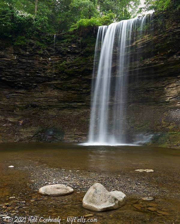
Beards Creek Falls
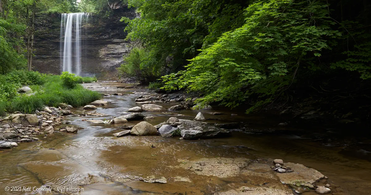
Note: This waterfall, and I believe the whole gorge, is on private land, is POSTED, and ACCESS IS NOT PERMITTED. Some have been able to visit in the past through local educational institutions as a part of environmental/geological studies. To the general public, the property is off limits.
Location: North of the village of Leicester; town of Leicester; Livingston County; New York.
Maps: Google Map; Topographic
GPS Coordinates:
- Beards Creek Falls: N 42.77549 / W 77.91295
Directions: ACCESS IS NOT PERMITTED.
Parking: ACCESS IS NOT PERMITTED.
Weather
Information / Accessibility / Accommodations
Note: This waterfall, and I believe the whole gorge, is on private land, is POSTED, and not accessible. Some have been able to visit in the past through local educational institutions as a part of environmental/geological studies. To the general public the property is off limits.
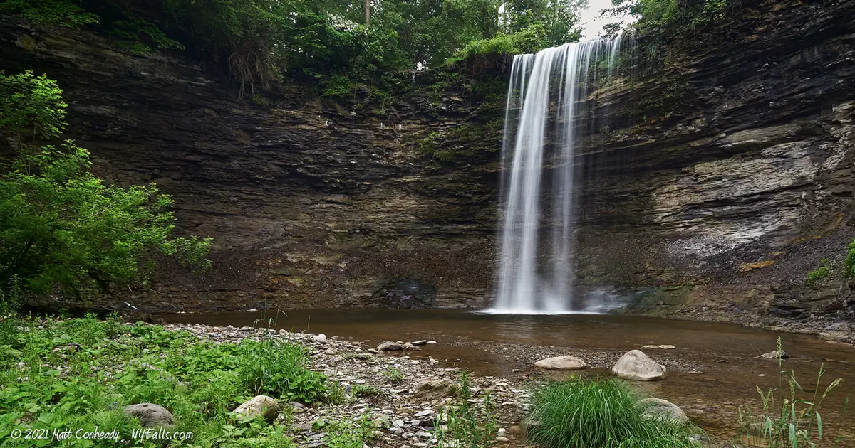
Number of falls: 1 large waterfall. Some small cascades downstream.
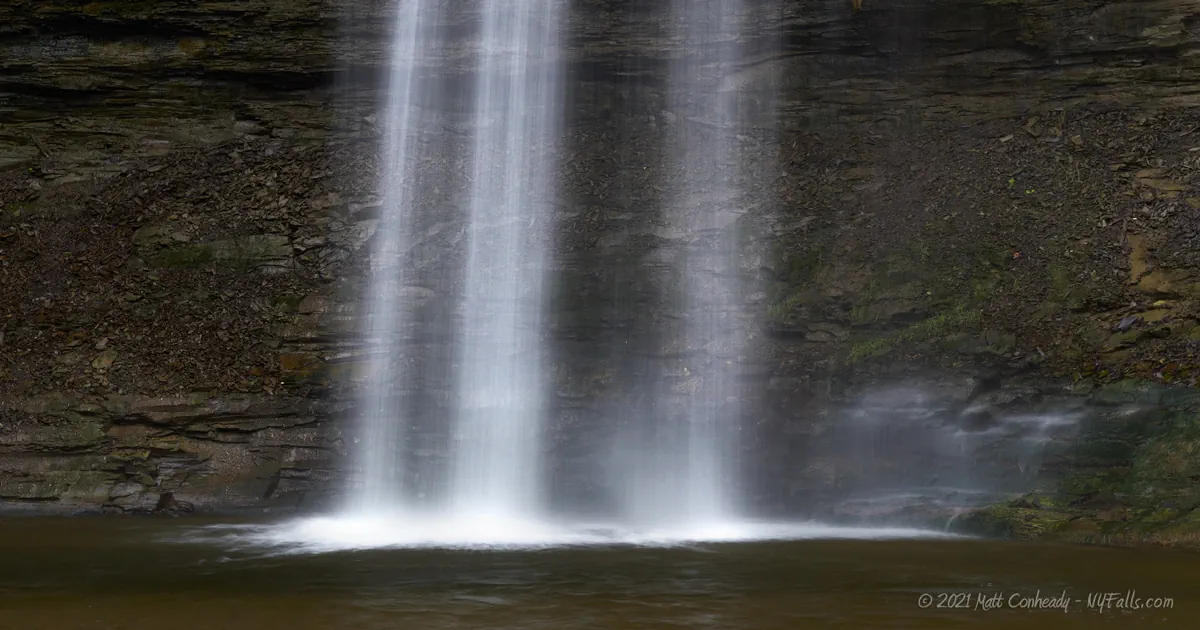
Size/Types: Estimated at 60 ft high.
Best time to visit: N/A
Flow: Moderate.
Waterway: Beards Creek, which rises 5.6 miles west of here in the town of Perry. It carves out the gully as it makes its way into the Genesee Valley, where it meets the Genesee River near Geneseo. The Genesee heads north, through the city of Rochester, over Lower and High Falls, and makes its way to Lake Ontario at Charlotte Beach, 35 miles north of here.
Time: Not applicable.
Seasons/Hours: Not applicable.
Admission: Private property. POSTED.
Handicap Accessibility: Not applicable.
Pets: Not applicable.
Accommodations: None.
Description
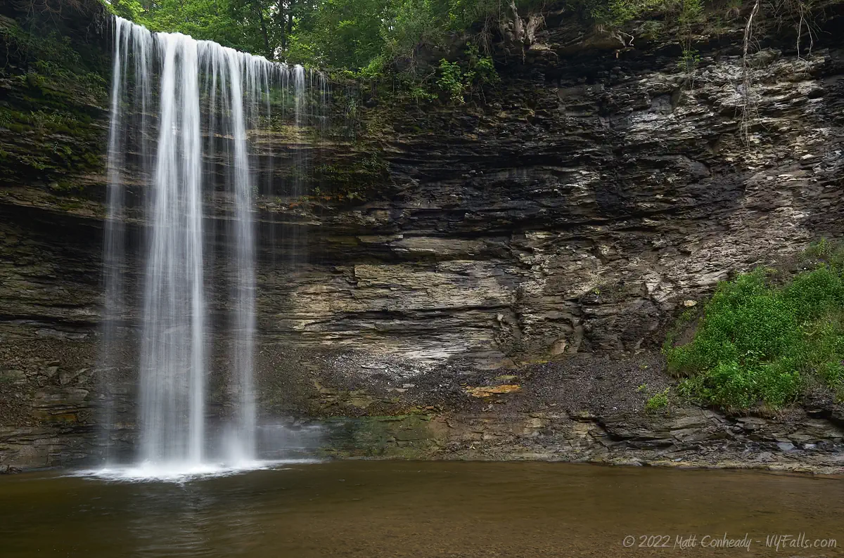
Private Property, ACCESS IS NOT PERMITTED. To not trespass. This information and the photos were captured without trespass and is archived here for informational purposes only.
There are several hanging valleys above the great Genesee Valley, many of which contain beautiful and large waterfalls. On the east of the valley, Indian Fort Falls and Fall Brook are two well known ones, and both are accessible. Beards Creek carves a large gully on the west side of the valley, north of Letchworth State Park, leaving behind a large 60 ft plunge and some smaller cascades.
It’s completely surrounded by private property and most known access points into the gully have been posted in recent years. In previous years, folks could park at the pullover off of Dunkley Rd. Just west of there, it passes over the creek. It seems this pullover was made as a result of past access. From there, a short hike into the woods following the creek would get visitors to the crest of the falls. A scramble further north into the woods and downhill leads back to the creek, and then a creekwalk back up the base of the falls. I have received a report in 2020 that POSTED signs were found along this route. We’ll leave it at that for now. Let me know if anyone has any information to the contrary.

History
Like many locations on US maps, Beards Creek was originally spelled with an apostrophe (Beard’s). As names became more official, apostrophes were typically dropped to remove implications of ownership and to simplify spelling.
Beards Creek is named after the Seneca Chief, Si-gwa-ah-doh-gwih, or Little Beard. He is most notable for siding with the British during the Revolutionary War. He resided along this creek near present day Leicester. He continued to live out his life on local reservations after the war.
The first gristmill in the town of Leicester was built on Beards Creek in 1797 at a location called Rice’s Falls. I’m unsure of where it was. It burned down in 1818. The village of Leicester was established as Moscow in 1814, but changed its name to Leicester in 1917.
Beards Creek Falls Interactive Map
Beards Creek Falls Media
Videos
Coming soon…
Who to Contact
No contact information


