Niagara Falls Visitors Guide
US Location: Along the Niagara River; North of the City of Buffalo; In the City of Niagara Falls; Niagara County; New York.
Canada Location: Along the Niagara River; North of the City of Buffalo; In the City of Niagara Falls; Ontario.
US Maps: Google Map; Bing Maps; Acme (topo); State Park Map.
Canada Maps: Google Map; Bing Maps; Acme (topo); City and Park Map.
GPS Coordinates:
- American Falls: N 43.08459 / W 79.06953
- Bridal Veil Falls: N 43.08347 / W 79.07078
- Terrapin Point: N 43.08007 / W 79.07442
- Journey Behind the Falls: N 43.07890 / W 79.07809
Driving Directions and Parking:
United State (New York) side:
- For the US State Park, use this Google Maps link to get you to the main parking lot.
- Alternative parking for the State Park can be found on Goat Island or the Three Sisters lot.
For Ontario, Canada side:
- The closest municipal lot is at Falls Parking Lot A.
- If that’s full, head on over to Skylon Tower parking lot A.
- Finally, try this lot above Clifton Hill.
Crossing the border? You need proper documentation to cross the border. Read more about passport/ID requirements in our Niagara Falls FAQ.
Weather
About Niagara Falls
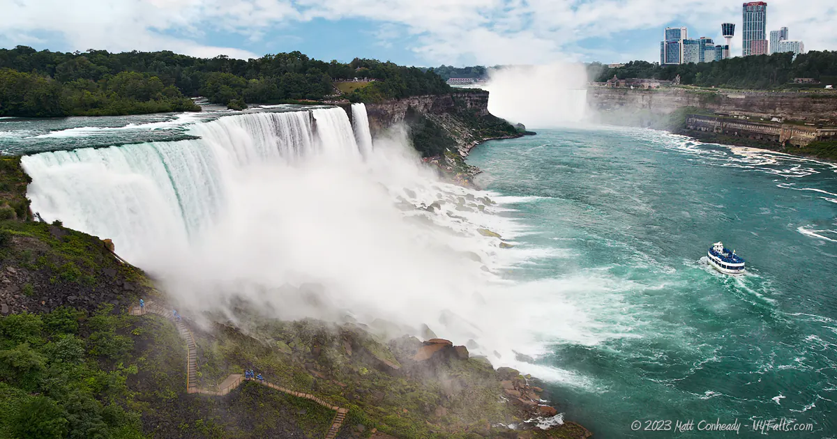
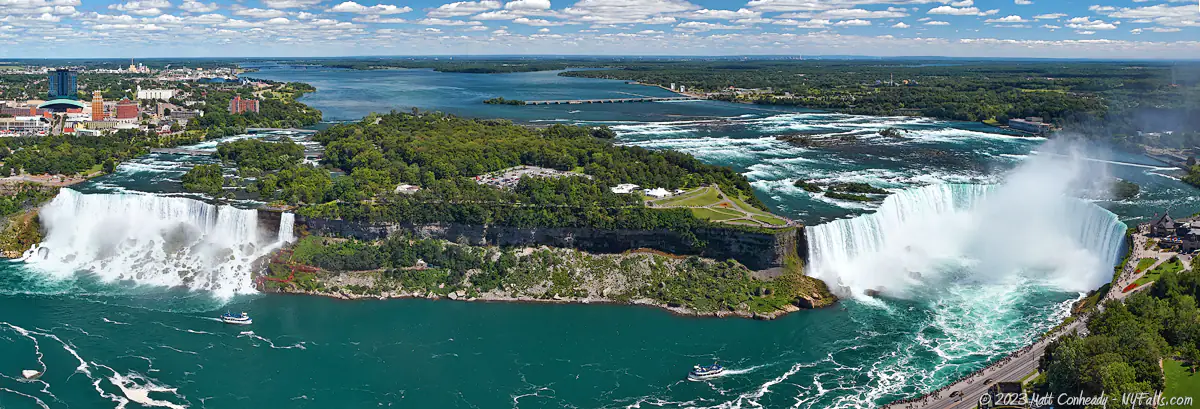
Niagara Falls is one of the most iconic natural wonders in the world, located on the border between the United States and Canada. It is situated on the Niagara River, which connects Lake Erie to Lake Ontario, and serves as a breathtaking display of the power and beauty of nature, as well as serving a source of tremendous electrical power to the region. Comprised of three waterfalls—Horseshoe Falls, American Falls, and Bridal Veil Falls—Niagara Falls attracts millions of visitors each year.
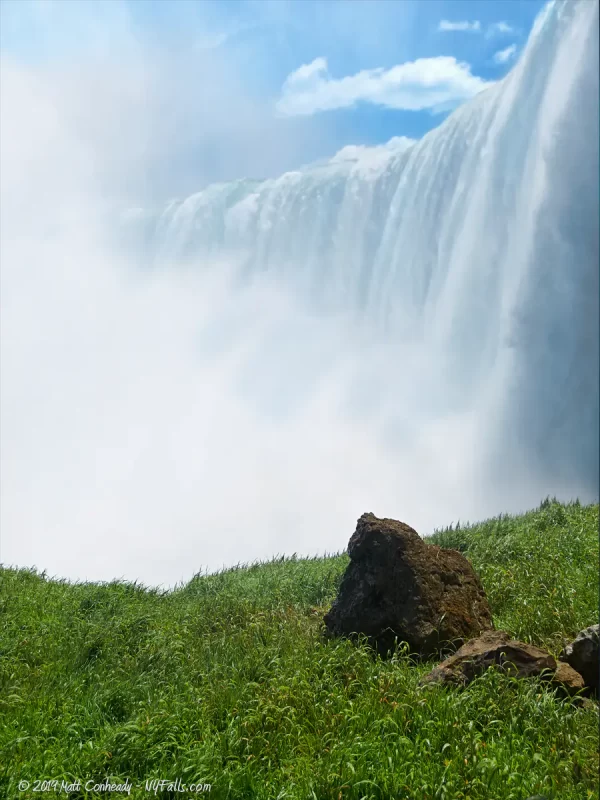
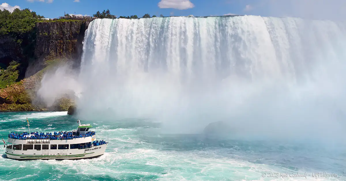
The largest and most impressive of the three falls is Horseshoe Falls, also known as Canadian Falls, as it is primarily located on the Canadian side of the border. Its distinctive shape resembles a horseshoe, and it measures approximately 2,600 feet (792 meters) in width and drops about 188 feet (57 meters). Horseshoe Falls is also the most powerful waterfall in North America, with an average flow rate of about 600,000 gallons (2,400 cubic meters) of water per second. The cascading water plunges about 188 feet (57 meters) down into the gorge below, creating a mesmerizing spectacle of mist, sound, and sheer force.
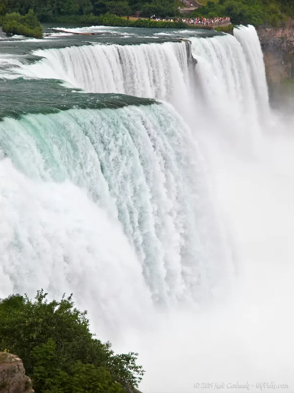
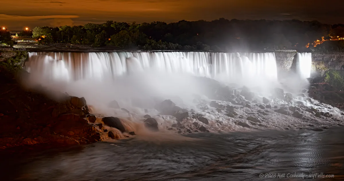
On the American side of the border, the second-largest cascade is American Falls, also (in rare cases) known as US Falls or Rainbow Falls. It spans approximately 1,060 feet (323 meters) in width and drops about 70 feet (21 meters) onto large mass of fallen boulders. Adjacent to American Falls is Bridal Veil Falls, which is much narrower and measures around 56 feet (17 meters) in width, falling the same height as American Falls. Although smaller in scale, these falls are no less captivating, and together they form a remarkable panorama of nature’s grandeur.
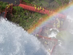
The awe-inspiring beauty of Niagara Falls is not limited to the sight of the cascading water alone. The sheer power of the falls creates a constant roar that can be heard from all around the neighboring cities of Niagara Falls, New York and Niagara Falls, Ontario. The mist generated by the crashing water creates a perpetual foggy atmosphere around the falls, often obscuring a large portion of each, while dampening the surround walkways and viewing areas. On sunny days, the mist often gives rise to rainbows, enhancing the ethereal experience for visitors.
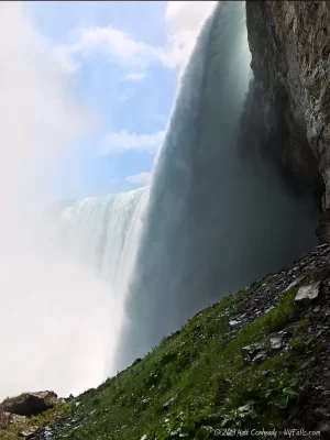
To explore Niagara Falls up close, various vantage points are available. On the Canadian side, Queen Victoria Park offers stunning views and beautifully manicured gardens, allowing visitors to appreciate the falls from a safe distance. Those that want to get up close can take a “Journey Behind the Falls,” which not only fulfills the promise of leading visitors behind the great Horseshoe Falls, but into the gorge next tot he falls where the winds generated from the plunging water are an unforgettable force. The promenade along the Niagara Parkway in new York, known as the “Niagara Falls State Park” on the American side, also provides fantastic viewpoints and access to a breathtaking view from the observation tower. Park walkways lead visitors from the brink of the American Falls, onto Luna Island where they find themselves surrounded by both the American and the smaller Bridal Veil Falls.

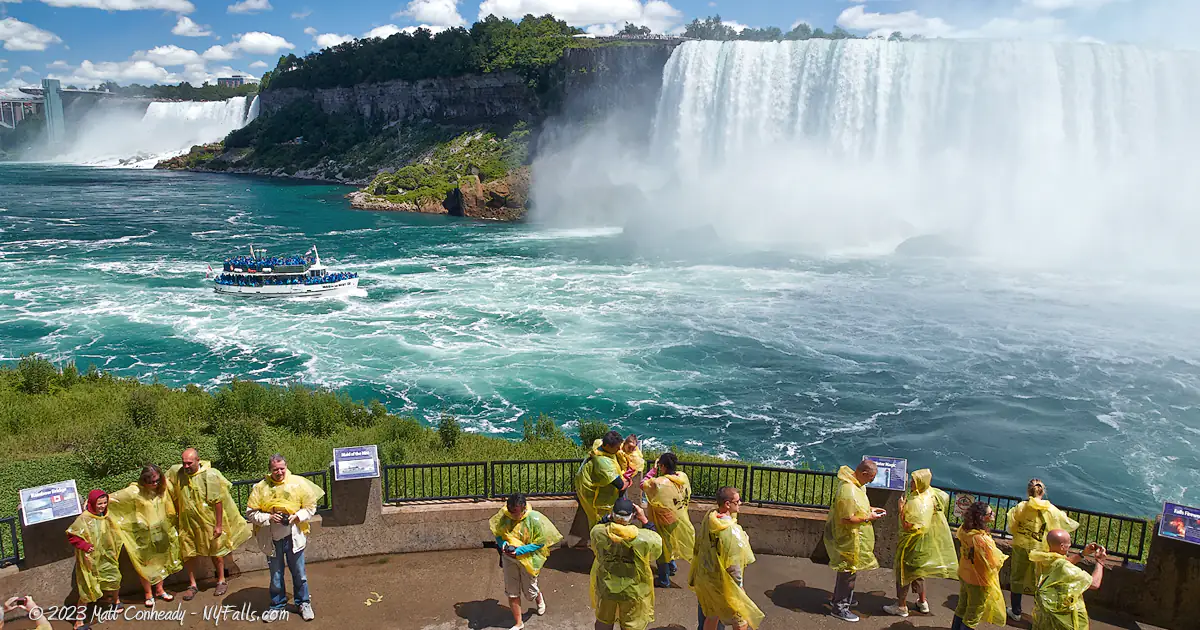
One of the America’s oldest Attractions, the Maid of the Mist, operates on both sides of the border, taking visitors through the turbulent and frothy waters of the Niagara. directly to the base of the both waterfalls, often disappearing into the mist—an exhilarating, and must-see, experience for all visitors. For those looking for even more thrills, the Niagara Jet Boat Tour runs up the Niagara River through Devil’s Hole and into the infamous Niagara Whirlpool, roaring through deadly currents and crashing through waves with ease.
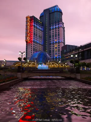
Popular for family trips and a time-honored American Honeymoon spot, Niagara Falls is in do doubt a “tourist trap.” Sprung up around the gorge are towering hotels, a Ferris wheel, casinos, eateries, haunted houses, wax museums, and gaudy entertainment attractions in all forms. It’s enough to keep you busy for a weekend if your wallet doesn’t empty before then. While most of modern development is concentrated on the Canadian side of the boarder, New York’s run down city still has a few competitive sights to attract tourists. Beyond the pop-tourism, to the region’s credit, it retains a lot of natural charm. From the Falls themselves, down the Niagara River are a series of nature parks fishing hotspots, and wineries leading to Lake Ontario and two beautiful and quiet villages on each side. Niagara-On-The-Lake, in Ontario, is a wonderful boutique shopping destination, and the host of the annual Shaw Festival. Youngstown, in New York, is home to the exceptional Fort Niagara State Park and Historic Site. With so many bright lights in loud distractions adjacent to Niagara Falls, it’s difficult for visitors to break away and explore the surrounding region to soak in the unforgettable experiences the entire Niagara Region has to offer, especially those pertaining to its quaint historical roots, so I made this guide, not only to highlight the the falls themselves (which you should definitely not miss) but to help you realize what else you could be missing.

The Three Waterfalls of Niagara (in detail)
AKA US Falls, Rainbow Falls
Height: 188 ft (56 meters) tall at its highest point to the river. The free-fall to the rocks below varies between 75-110 feet (28-33.5 meters) with an average of about 85 feet (26 m). Roughly 10 feet taller than the Horseshoe Falls.
Width: 830 feet (253 meters) measured straight across the brink. If measured along the zigzag-like brink: 1,060 feet (323 meters) long.
Faces: Northwest.
Plunge pool depth: The boulders at the base of the falls fill in what could have been a pool as deep as the waterfall itself. The depth of the river increases dramatically just beyond the rocks. There’s no measurable pool below the falls, other than the river itself. A fall from this will most definitely mean death from smashing on the rocks below.
Flow: 140,000 gal/sec (18,700 cubic feet per second), excluding the flow through Bridal Veil Falls. The American/Bridal Veil Falls together carry about 10% of the total flow of Niagara Falls. The flow can dip to half during off-peak tourism months.
GPS Coordinates: N 43.08451 / W 79.06949
Location: Between Prospect Point and Luna Island in Niagara Falls, NY, USA.
Number of daredevils who went over: Zero.
AKA Canadian Falls
Height: Averaging 188 feet (57 meters) to the river below.
Width: Measuring in a straight line from the edge on the American side to the edge of the Canadian side the length is 977 feet (298 meters). Following the crest of the falls around: 2,600 feet (792 meters).
Faces: North.
Plunge pool depth: The falls ends in a 185 ft (57 meter) pool at its base. Although you cannot see the rock debris at the base of the falls like with Rainbow Falls, the water of the Horseshoe Falls does not fall directly into the plunge pool and in many sections, rock piles come very close to the surface throughout the pool. These hidden rocks, and some very strong currents, make this some one of the most dangerous sections of the Niagara River.
Flow: 600,000 gal/sec (2,400 cubic meters per second). Carries 90% of the total flow of Niagara Falls. The flow can dip to half during off-peak tourism months.
GPS Coordinates: N 43.07729 / W 79.07478
Location: Between Terrapin Point on Goat Island in the USA and Table Rock in Canada. The US/Canadian border runs through the falls, with most of the falls on the Canadian side.
Number of daredevils that went over the falls: 14, with 6 dead.
AKA Luna Falls, Iris Falls
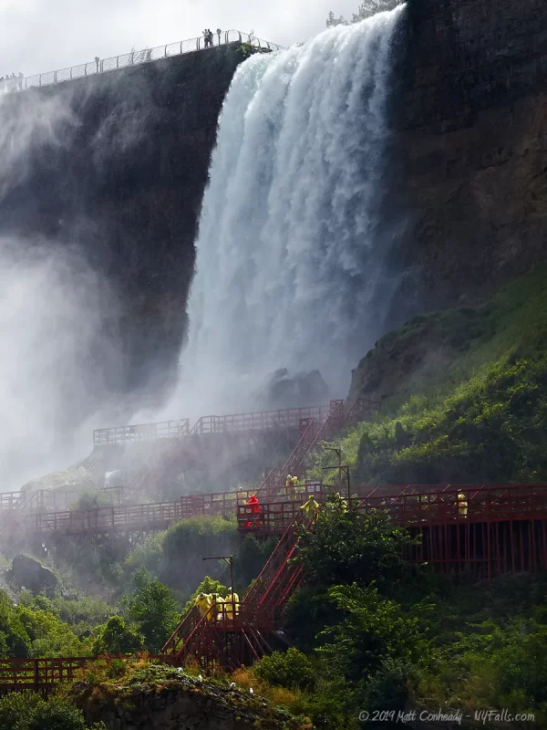
Height: 181 ft (55 meters) tall at its highest point to the river below. The free-fall measures roughly 78 feet (24 m).
Width: 56 feet (17 meters) measured straight across the brink. The total width of the American and Bridal Veil Falls together is 1,100 feet (326 meters).
Faces: Northwest.
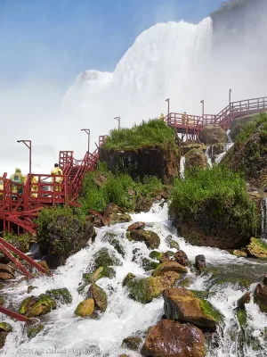
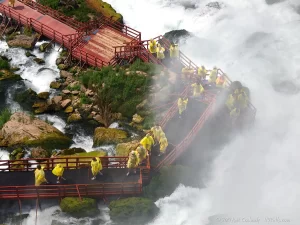
Plunge pool depth: The rock debris at the base of the falls fills in what could have been a pool as deep as the falls are tall. The depth of the river increases dramatically as the distance away from the rock debris increases. In addition to the debris, there are the red wooden decks built for the Cave of the Winds tours.
Flow: 10,000 gal/sec (1,300 cubic feet per second). American/Bridal Veil Falls together carry about 10% of the total flow of Niagara Falls. The flow can dip to half during off-peak tourism months.
GPS Coordinates: N 43.08346 / W 79.07075
Location: Immediately south of American Falls, between Luna Island and Goat Island in Niagara Falls, NY, USA.
Number of daredevils over: Zero
The Niagara River
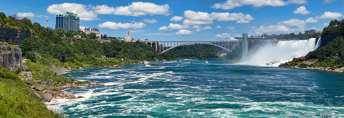
The Niagara River runs north 35 miles (56 kilometers), serving as a vital link between Lake Erie to Lake Ontario, and a natural border between the US and Canada. The Niagara River originates at the eastern end of Lake Erie near Buffalo, New York. It begins as a relatively calm and narrow stream, gradually widening as it progresses north. At around 6 miles, it splits around the massive Grand Island at Beaver Island State Park. Grand island, at 33.29 square miles (86.23 square kilometers), is home to 21,200 people. Here the border line, which usually bisects the river evenly, runs up the river branch on the west side of the island, putting the island completely within the US.
3 miles (5km) downstream from the island, the river splits again, forming Goat Island in New York and creating the Cascade Rapids, a dangerous stretch of whitewater created by the initial descent down Niagara Escarpment just above Niagara Falls. the Falls itself drops the river an average of 178 feet (54 meters) and forms the 7 mile (11 kilometer) long Niagara Gorge. The river reaches a maximum depth of 185 feet (57 meters) near the base of the falls.
2.5 miles (4 kilometers) north of the falls, the Niagara Gorge narrows and the river accelerates, forming class 6 rapids at the Niagara Whirlpool, some of the most dangerous waters in the world. Traveling at nearly 35 mph, with standing waves reaching 10-ft in height, it bends nearly 90 degrees a half mile later at the Whirlpool. The Niagara River then calms to a class 3 as it passes through Devil’s Hole and it’s smooth sailing and some of the best fishing in the region the remainder of its journey to Lake Ontario.
Niagara Falls Media
Niagara Falls Audio
Roaring Niagara Falls from Queen Victoria Park (Ontario) in early morning.
Rumbling Niagara Falls Up Close (American Falls from Goat Island)
Niagara Falls Videos


Niagara Falls Photo Gallery
A friendly reminder that the photos on this page are under copyright of the creator and unauthorized commercial use will result in a bill being sent for license fees. you are welcome to use a photo for your website/vlog, as long as you link it back to this page.
Niagara Falls Photographs for Sale
Niagara Falls Prints & Gifts
My name is Matthew, and I am an independent part-time photographer. I am self-taught and have a passion for photographing and promoting the natural attractions in the Upstate New York region. I built this site in my spare time to aid in those that also love our natural wonders, our cozy villages, and historical oddities that make our area so great. How can you help? Support my work and benefit from it by buying a paper or canvas print, puzzle, magnet, mug or more. All proceeds go toward funding this site and the work that goes behind it.
More About Niagara Falls
Niagara Falls Historical Timeline
Follow Niagara’s history from its geologic creation to the latest of the Niagara daredevils (yes, people are still doing this). This massive (and ever-growing) timeline includes hundreds of entertaining entries with images and links.
Facts and Frequently Asked Questions
Find the answers to the most commonly asked questions about Niagara Falls. Topics include: Border crossing, History, Fishing, Golf, Tours, Natural History, Electricity, and more.
Top 5 Attractions: Canada and US Sides Compared
Everyone faces the question: which side do I visit? Ontario or New York? We compare what each side has to offer to help you decide. Here are the top attractions for each side of the border.
Other Attractions: Canada vs. US side
What’s next after the must-see sights and one-of-a-kind experiences? There’s plenty more that Ontario and New York have to offer. Here’s a breakdown of regional attractions, covering far beyond the falls.
Niagara Parks and Historic Sites: Canada vs. US side
Which side of the border has the best parks? The most? More history? Here’s a breakdown of the most popular parks and historic sites in the region by country.
Niagara Hiking Trails: Canada vs. US side
Where to go hiking and experience more rugged nature and (hopefully) far fewer tourists in the Greater Niagara Region.
Amazing Nearby Parks
Fort Niagara State Park and Historic Site 
The State Park section is an excellent recreation facility with excellent views of Lake Ontario.
The Historic Site is a living museum with daily reenactments and interesting architecture. It’s only a short distance from the Falls.
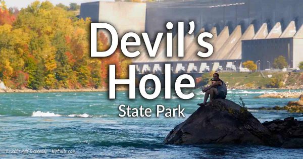
Devil’s Hole State Park 
The site of a bloody ambush on a British supply convoy, this interesting geologic feature in the Niagara Gorge has excellent hiking and fishing opportunities, as well as spectacular vistas. Great fishing as well!
Whirlpool State Park 
Breathtaking views of the notorious Class V Whirlpool Rapids and the geologic wonder known as the Whirlpool. The terrain is rough and the water is extremely dangerous, but the view is oh so worth it. This park should not be missed!
Wilson-Tuscarora State Park 
A nearby lakeside park with a nice beach, excellent nature trails, and wonderful fishing opportunities. A great place to launch a boat into Lake Ontario via Tuscarora Bay
Detailed Guides for Interesting Sights
Niagara Parks Power Station and Tunnel 
A former 20th century hydroelectric plant converted into a living museum to teach the history of power generation at Niagara Falls. A 2,200-ft long tailrace that once carried water from the plant back tot he gorge, now serves as a walking path to a observation platform at shoreline below Horseshoe Falls.


