LeRoy Falls


Location: Village of LeRoy, Town of LeRoy, Genesee County, New York.
Maps: Google map; Topographic; Interactive Map
GPS Coordinates:
- Natural waterfall: N 42.97789 / W 77.98871
- Oatka Creek dam: N 42.97734 / W 77.98861
- Oatka Creek dam near Munson St.: N 42.97157 / W 78.00292
Directions: From the Thruway (I-90), take exit 47 (LeRoy) and head south on NY-19 (Lake Rd) to the village. Make a left onto Mill St and follow it to the large parking lot on the left (just before the Main St bridge).
From NY-5, follow 5 through the Village of LeRoy and head north on Mill St.
Or use Google Directions.
Parking: Parking area off of Mill St, towards Main St. Additional small parking lots along Mill St.
Weather
Information / Accessibility / Accommodations
Number of falls: 3.
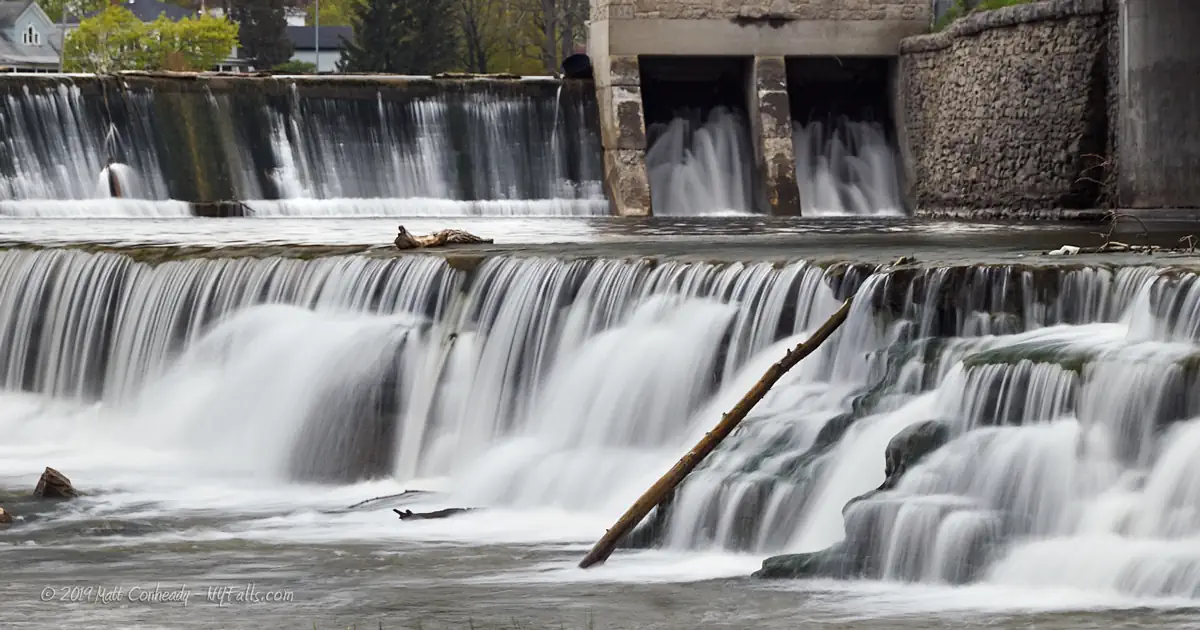
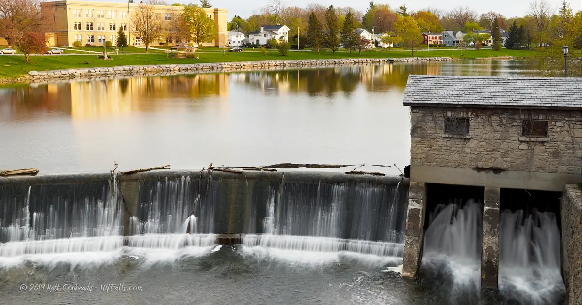
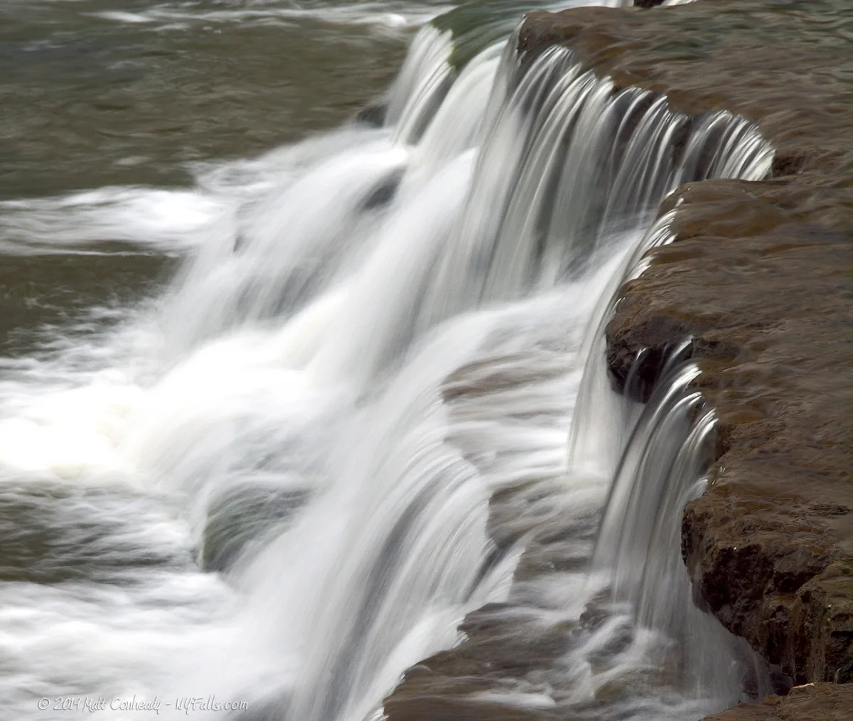
Size/Types: One wide natural cascade roughly 4 ft tall; Just above is a crescent man-made dam that spans the creek (15 ft tall; 196 ft wide). Upstream, to the south, is another man-made dam (12 ft tall; 280 ft wide).
Best time to visit: Spring-fall.
Flow: High / consistent.
Waterway: Oatka Creek, which empties into the Genesee River about 16 miles northeast of here, just outside of Scottsville. The Genesee flows north through Rochester and into Lake Ontario.
Time: A few minutes from the parking area.
Seasons/Hours: Year round. All day/night.
Handicap accessibility: Yes.
Pets: Allowed on leash.
Accommodations: Viewing platform; picnic tables; fishing; benches; water fountain; pavilion; historic information; fishing access; basketball court; playground; shops and restaurants nearby.
Description
AKA: Old Buttermilk Falls; Oatka Creek Dam; Oatka Creek Falls
“Le Roy” is the original spelling of the name of the town and falls, but LeRoy is more modern, and seems to be commonly used on digital maps and websites. Both are technically correct.
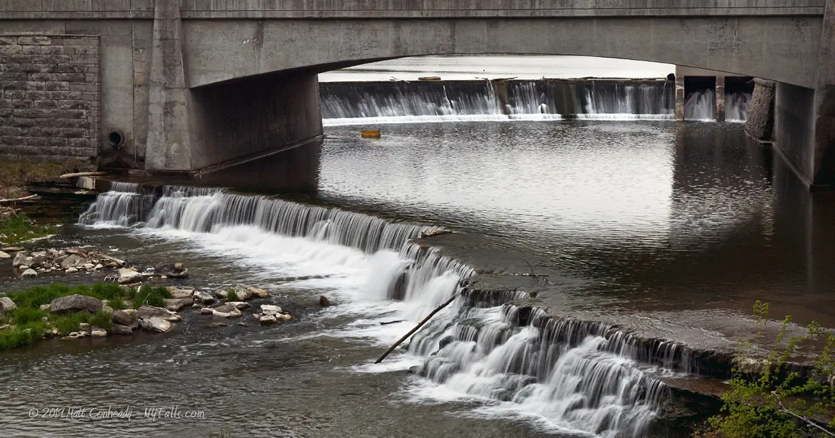
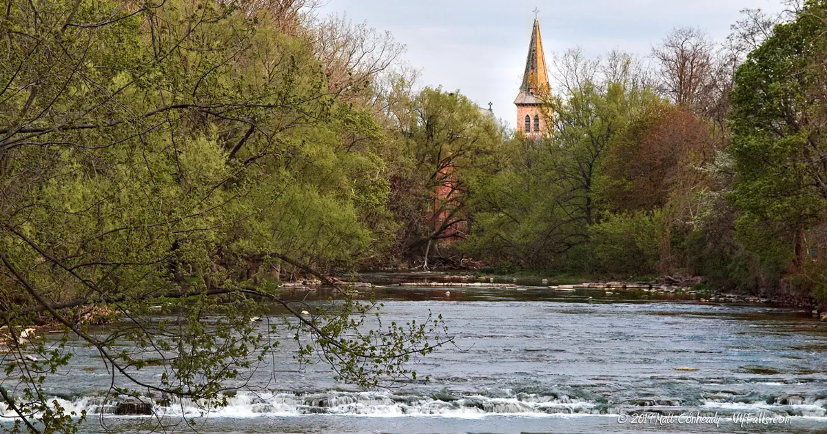
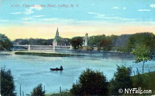
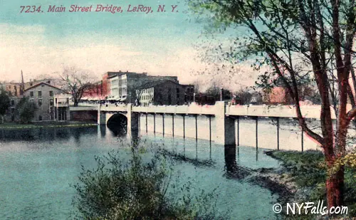
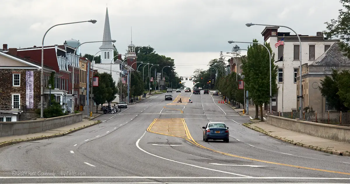
Spanning nearly 200 ft across Oatka Creek, both the natural waterfall and the man-made dam are the centerpieces of LeRoy, a village of roughly four thousand, that grew around the water power provided by the creek. Oatka Creek begins nearly 4.5 miles to the south near Silver Springs, NY. It cuts through Warsaw Valley, and reaches the Village of LeRoy, pouring 12 feet over a man-made dam near Munson St. In the center of the village, the creek runs 15 feet down a concrete dam before it passes under Main St. Just after the bridge it drops 4 more feet over LeRoy Falls, sometimes referred to as Old Buttermilk Falls for the frothy state it mixes the water into. After leaving the Village, the Creek continues north about 2 miles and tumbles 60 feet down Buttermilk Falls (private) and turns east and finally empties into the Genesee River after 20 miles.
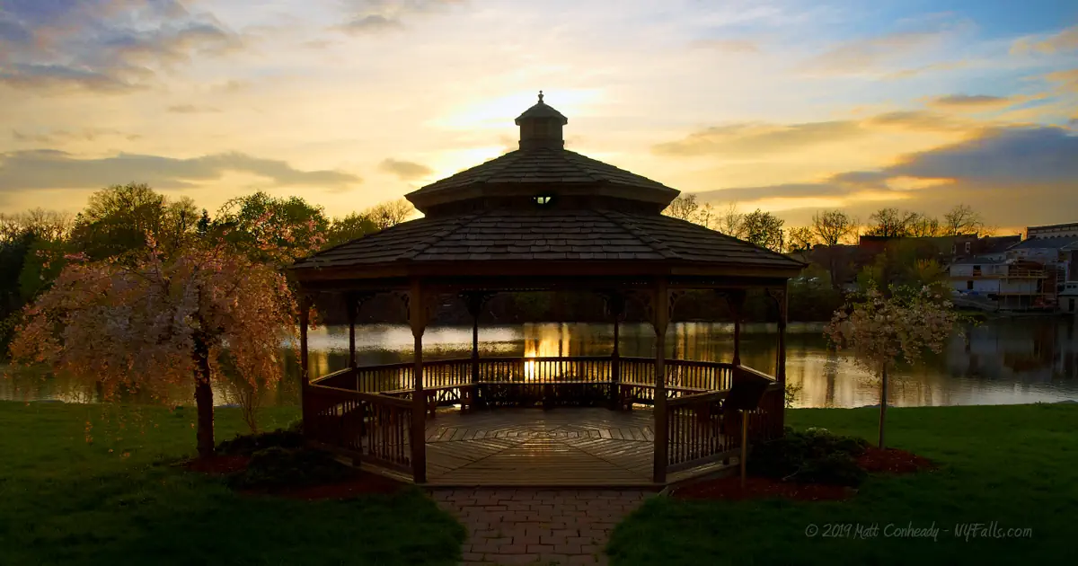
Although the larger Buttermilk Falls to the north is not accessible (access is through private property), viewing Old Buttermilk Falls is quick and easy. A state-built viewing platform just downstream from the falls allows visitors to see the natural and man-made drops without much effort. A short walk to the Main Street bridge offers a different perspective as well as a close look at an adjacent old mill (now a restaurant) and wheel enclosure. Wolcott St runs along the west bank of the Creek to the north of the dam and has a small park and gazebo that is great for watching waterfowl on the pond as well as summer sunsets.
Mill Street is also home to a small recreational park that runs along the creek. Although creek access through the park is limited along this stretch, clearings in the trees and a pedestrian bridge to the south can give you a glimpse of the fast-moving waters that pass by here. Upstream, at the southern end of the village, another dam creates a 12 ft drop. A public fishing area and the Munson Street Bridge are nice spots to view it from.

History
Richard Stoddard and Ezra Platt constructed mills on Old Buttermilk Falls in 1803. Herman Le Roy purchased a Stoddard and Platt mill and constructed a much larger grist mill in its place. Le Roy’s flour won awards and brought him fame and success. The village and town were named after him. The village was incorporated in 1834. Throughout much of its history, mills powered industry in the village.
Old Buttermilk Falls was capped with a dam in the late 1800s, which nearly doubled its height. The dam was replaced by the one that exists today just upstream from the falls.
Salt wells also played an important role in the growth of Le Roy. Salt mining supplemented the fading mill industry and brought railroads to town in the 1800s. But no industry would have an impact as much as the dessert industry. In 1897 Pearle Wait, a Le Roy carpenter, experimented with gelatin to create a home remedy and subsequently invented Jell-O. Slow to success, this odd dessert became a multi-million dollar enterprise by the early 1900s, and today is sold all over the globe.
Founded in 1837 by Emily and Marietta Ingham, the Le Roy Female Seminary, and later the Ingham Collegiate Institute, was the first female university in the United States. The University was closed and demolished in 1892, and the site is now occupied by the Le Roy Central School District and the Woodward Memorial Library.
Hiking / Walking Trails
Difficulty: Easy.
Markings: None.
Distance: Adjacent to the parking area, or a few hundred foot walk to the Main St. bridge.
Description: From the parking area off of Mill St, head towards the southeast corner of the lot towards the creek. There will be a wooden platform with a blue sign. View the falls from the platform or head down the steps to get a closer look. Head back to the parking lot and continue south on Mill Street and turn left onto Main Street. From the bridge you can view the falls to the north or the man-made dam and old mill wheel house to the south.
To see the second man-made dam close up, you can walk or drive down Wolcott St and make a right onto Munson St. This is about a mile. You can view the dam from the Munson St Bridge or from the bank of the creek just before the bridge.
Map: Interactive.

LeRoy Falls Interactive Map
LeRoy Falls Falls Media
Coming soon…
Interesting Stuff
Fort Hill
About two miles north of the village is the hamlet of Fort Hill, named for a prehistoric Native American settlement that contained several fortifications. Bones and pottery fragments were first discovered here when farmers tilled the land, and subsequent archaeological digs uncovered pipes, beads and additional artifacts. Most of the land is now privately owned.
J-E-L-L-O
Jell-O was invented and, in its early days, manufactured here. Visit the Jell-O Museum and Gallery to explore the history of this gelatinous concoction. The site of the original Jello factory is now a residential area.
Good eats & view
Farmer’s Creekside Tavern & Inn offers locally-sourced foods and a wonderful view of the dam from the creekside outdoor patio. The building was constructed in 1820 and operated as a hat factory and then as private housing, until a fire destroyed the interior in 2004. It opened as a restaurant and inn in July 2017 and has since won many accolades.

Photography Tips
Shooting wide
- The waterfall and dam are wide. Bring a wide-angle lens or plan on shooting a sequence of shots for stitching together a panorama.
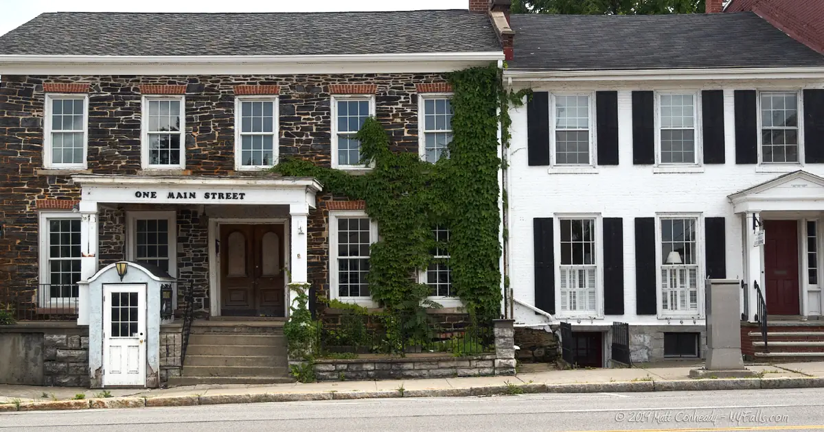
Historic LeRoy
- Walk the village to see the numerous historic buildings. They make excellent subjects.
Downstream
- The pedestrian bridge that cross the creek at the northern end of Mill Street Park offers another great photo opportunity.
Silky Water Effect
- To get that smooth cotton-candy look to the falls, you need to use a Neutral Density (ND) filter on your lens. The ND filter will block some of the light from entering the lens without altering the color, and thus allow your shutter to stay open longer. This blurs the water and creates a soft white gloss to the foamy areas of the falls. Check out the article for the all the details.
More tips
- See the Articles for more photography tips.
Who to Contact
Village of Le Roy
Recreation Dept.
Phone: (585) 768-6910