Reynolds Gully
Location: On the southeast end of Hemlock Lake; In the town of Springwater, Livingston County New York.
Maps: Google Map; Topographic; Interactive.
GPS Coordinates: Waterfall: N 42.66758 / W 77.58907
Parking: N 42.66833 / W 77.59166
Directions: Located on the south-east end of Hemlock Lake, on the east side of NY-15A. Take I-390 south to Rush and follow 15A south along Hemlock Lake. After passing Johnson Hill Road, Reynold’s Gully will be a mile down on your left.
Parking: Park in the small dirt area near the gully. Space for a few cars.
Weather
Information / Accessibility / Accommodations
Description
AKA Hemlock Falls
Although not the only gully leading into Hemlock Lake, this is by far the most beautiful and prominent. It’s a shame that much of the gully is on private property, not accessible to the public and there is no “ASK” usage policy. Hopefully through land purchases and property easements in the future these lands will once again open up to the public. Currently trespassing is a serious problem in the gully and NYFalls.com encourages you to stop and turn around when you reach a posted area.
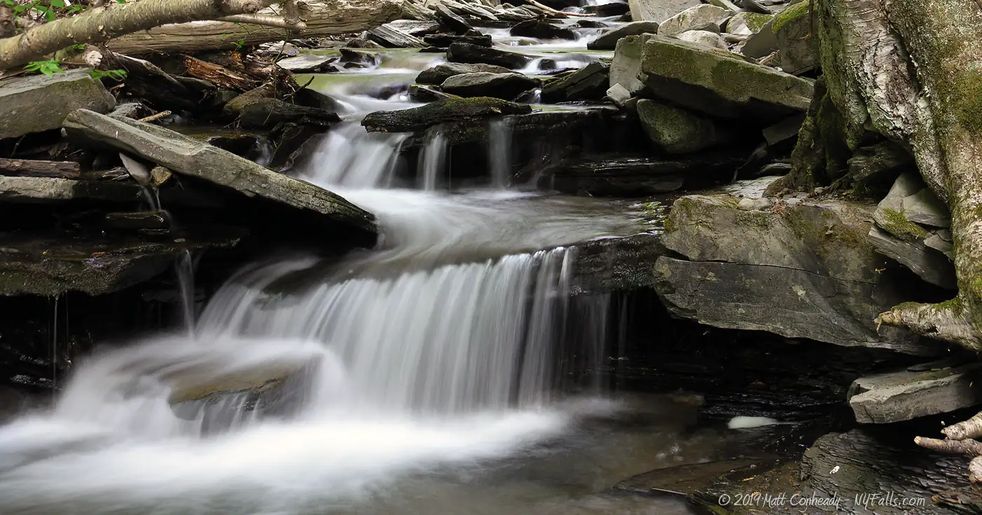
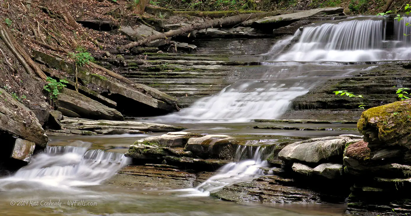
Reynolds Gully stretches for about 3 miles from the hilly landscape between Canadice and Hemlock to empty into the marshland south of Hemlock. The gully is actually split into 2 small gullies; the first mile most inland. Since development of the surrounding land is kept to a minimum, and this gully is not maintained by any park standards, it is in a very natural state: littered with trees, fallen rocks and debris and with cool, clear water. Best of all, man-made trash is hard to come by as the visitors generally respect this gully (and we’d like to keep it that way).
Candice Lake Rd. crosses the gully at about its midpoint and many still believe that the upper portion is best accessible from this area. Currently is looks like that area is under private ownership and it is not recommended that you risk trespassing. Reynolds Gully Rd. extends from Candice Lake Road traveling along the gully for about a mile and you may be able to catch a view or two from the roadside when the leaves are off the trees.

History
The first settler in Springwater Valley, then known as Hemlock Valley was Seth Knowles, from Connecticut, who arrived here in 1807. He built a log cabin on the cliff above the lake not far from here.
Around 1816, Benjamin Reynolds and his brother-in-law, Hill, purchased the Clarke W. Stuart farm around the gully. They built a sawmill and gristmill in the gully.
Hemlock Lake has a rich history of tourism and family cottages. Once frequented by Rochester city residents looking to get away, it was lined with cottages and country roads. The growing needs of the city demanded a reliable source of clean water, and Monroe County began buying up and demolishing the cottage properties to create a buffer zone in the watershed to protect Hemlock and Canadice lakes.
Hiking / Walking Trails
Hike the DEC portion of Reynolds Gully
Difficulty: Moderate.
Markings: Sign denoting the end of public property and of this hike.
Distance: Less than 100 feet before you have to turn back.
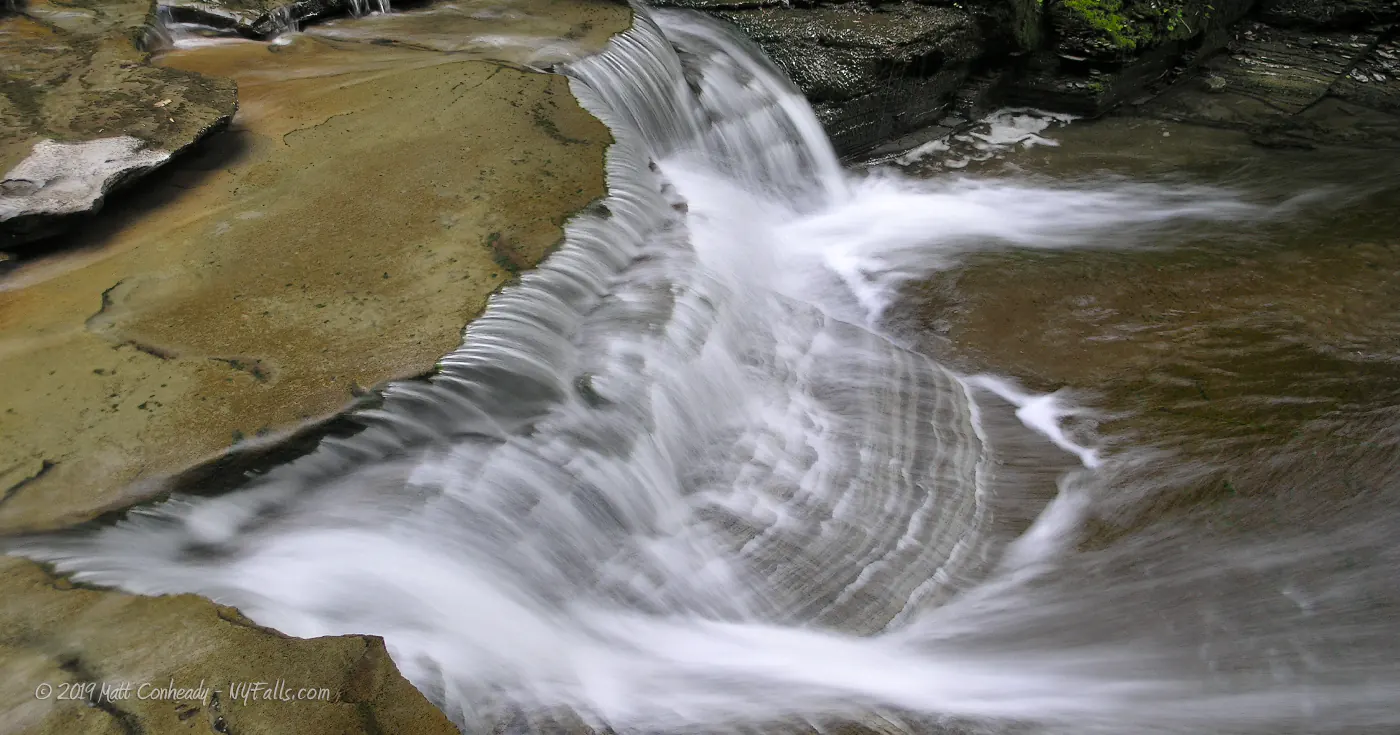
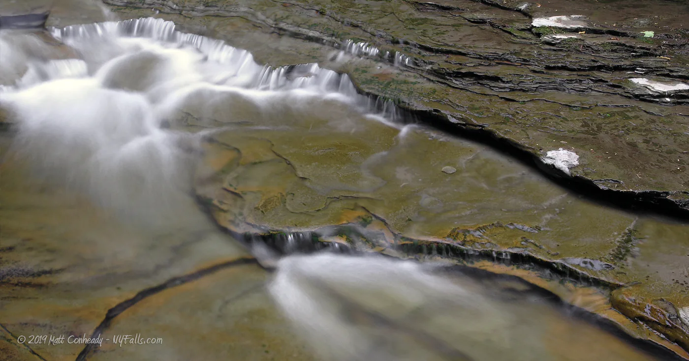
Description: In times of high flow, creek-walking the 800 or so feet of public property can be a challenge. This gully is completely wild, with no trails or development. Along the way you will pass small cascades, as well as 2 small waterfalls on your way to the end of the public land, at a 9 ft cascade in two segments. At this point you will have to turn around.
Map: Interactive.
Reynolds Gully & County Line Falls Interactive Map
Reynolds Gully Media
Reynold’s Gully Videos

Interesting Stuff
Hemlock Lake Park
The best view of the Hemlock Lake, a great place to picnic, and fish. Head up Rt-15A to the north end of the lake to get to the park.
County Line Falls
Just to the north are two steep falls in this narrow 85 ft tall gorge. Walk up the road from here to see the lower section, or go on a short drive, then hike, to see the upper part.
Photography Tips
Proper creek-walk footwear
- Wear the proper footwear for creek walking and climbing. Not only can a quality pair of water shoes prevent blisters and infection, they will help you stick better to the ground and reduce your risk of falling, hurting your self, or your camera gear.
Overcast skies
- Daylight will cast uneven shadows through the canopy and cause sunspots in your shots. It is best to wait for an overcast sky for this one.
Silky Water Effect
- To get that smooth cotton-candy look to the falls, you need to use a Neutral Density (ND) filter on your lens. The ND filter will block some of the light from entering the lens without altering the color, and thus allow your shutter to stay open longer. This blurs the water and creates a soft white gloss to the foamy areas of the falls. Check out the article for the all the details.
More tips
- See the Articles for more photography tips.
Who to Contact
NYS DEC
State Land Management
7291 Coon Rd.
Bath, NY 14810
Phone: (607) 776-2165
[email protected]


