Stony Brook State Park
Location: South of the village of Dansville, in the town of Dansville, Steuben County, New York.
Maps: Google Map; Topographic; Interactive; Campground Map (PDF); Park Map (PDF); Trail Map (PDF)
GPS Coordinates:
- Park office/Entrance: N 42.52506 / W 77.69584
- Swimming area dam: N 42.52119 / W 77.69345
- First major falls: N 42.51828 / W 77.69242
- Second major falls: N 42.51578 / W 77.69295
- Third major falls: N 42.51350 / W 77.69128
Directions: Take I-390 to NY-36 (exit 4) Dansville/Hornell. Turn south onto Rt. 36 and follow it for about a mile. The park entrance will be on your left.
Use Google Maps.
Parking: After passing through the main gate, follow the park road until it ends at the main lot near the picnic area and playgrounds. Additional parking can be found in a smaller lot near the tennis courts, which can be found along the park road more towards the park entrance.

Weather
Information / Accessibility / Accommodations
Number of falls: 3 large waterfalls and at least 6 smaller ones.
Size/Types: Ranging from 1 to 40 feet high. Including classic cascades, narrow channels, staircases, chutes, overhanging and newborn falls.
Best time to visit: Spring, summer, fall. Gets crowded on hot weekends and holidays.
Flow: Consistent medium to high flow.
Waterway: Stony Brook, which begins about two miles south, and after flowing through the park, empties into Canaseraga Creek. Canaseraga Creek is a major tributary to the Genesee River. It meets the Genesee just north of Mount Morris. The Genesee River takes the water north to Lake Ontario.
Time: 2 hours.
Seasons/Hours: The park is open from dawn to dusk, closing at dark, year round. The park office is open 7 am to 5 pm. The Gorge and East Rim Trails close for winter, usually opening in the spring for the Memorial Day weekend.
Parking: Parking lots for over 60 cars.
Admission: $9 vehicle fee.
Handicap accessibility: Much of the park is handicap accessible, including the swimming area. The trails are not.
Pets: Allowed on leash. Not allowed on the Gorge Trail. For the safety of everyone, including your pet, do not bring your pet on the Gorge Trail.
Swimming: From Memorial Day through Labor Day the creek is dammed to form a swimming and wading pool. Swimming is allowed when lifeguards are on duty. Visitors also enjoy bathing in the creek along the gorge trail, but an abundance of crowds in recent years has done a lot of damage to the creek ecosystem. The gorge trail is patrolled and anyone caught walking in the creek bed or bathing below the falls will be asked to leave.
Camping: The fully-equipped campgrounds are located in the south end of the park (separate entrance). It features 112 campsites and 8 cabins. Camping season begins the first week in May and lasts through the second week in October. Book a campsite at this park.
Accommodations: Restrooms; changing rooms; showers; snack bar; gift shop; picnic tables; playground; activity fields; grills; tennis courts.
Description
Although often crowded and loud, Stony Brook State Park is a gem of a park. With a history of private resorts and a natural playground for many generations, its current incarnation is an adventurous creek walk with towering waterfalls, refreshingly cool water and remnants of its historic past.
The Civilian Conservation Corps built the stone trails and bridges that carry you over the creek and up the falls, but you’ll find most visitors leave the trail to wade in the cool waters. Unfortunately this isn’t very healthy for the natural state of the creek. Often you will find floating trash, and the constant activity disrupts the natural fauna, as well as kicking up sediment that is then carried downstream. In 2017, walking, swimming, wading in the creek has been banned.
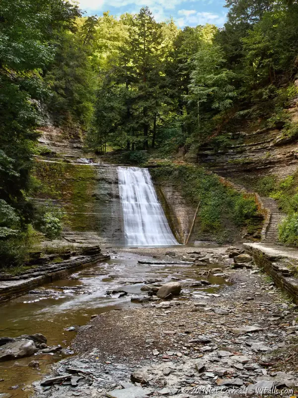
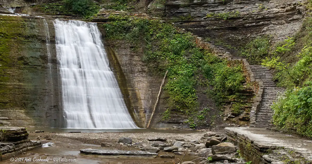
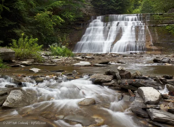
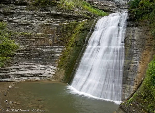
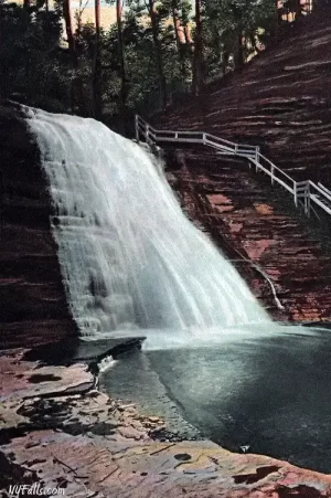
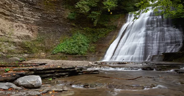
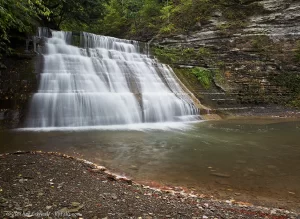
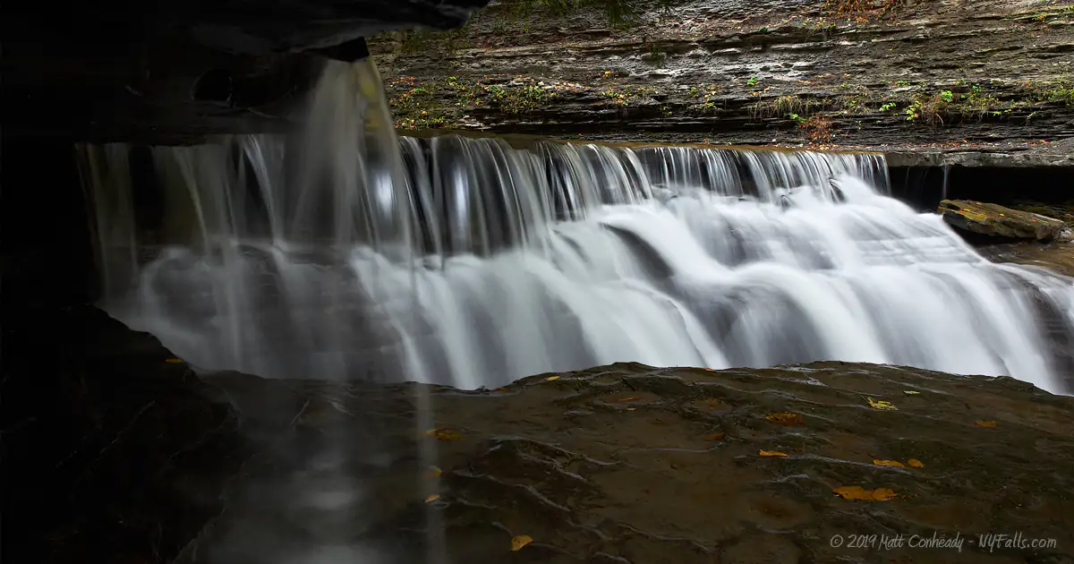
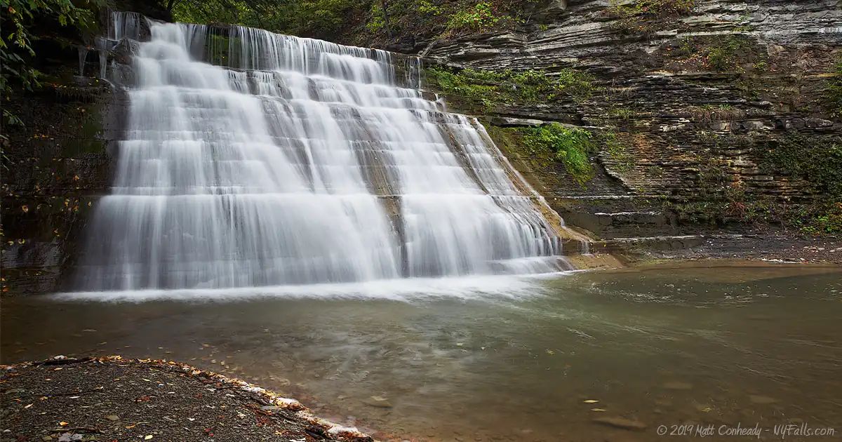
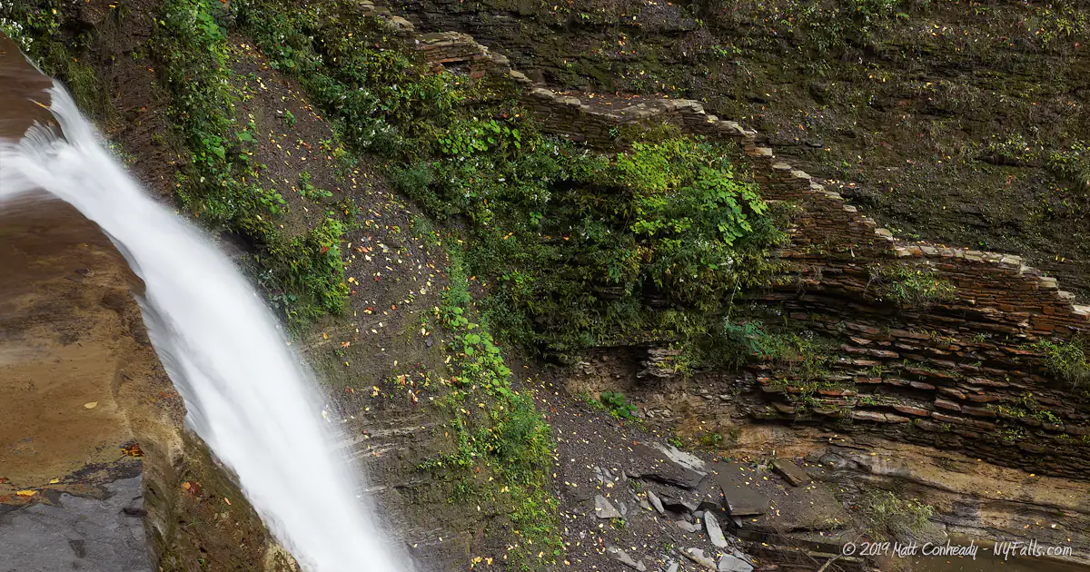
The main attractions are three falls, Lower, Middle and Upper Falls, each with notable plunge pools. Lower falls, the first large falls you will come across, is a picturesque 40 ft sparkling cascade that seems to fan out as it falls. The Middle Falls drops only 20 ft, but is large at the crest and drops in more gradual steps. The Upper Falls is the largest cascade, at 45 ft, and seems to have the deepest plunge pool.
Speaking of pools, bring your suit. The park sports a natural swimming area created by damming the creek in two areas. The pools are filled every morning and are constantly fed by the creek. The water is cool, sparkling and a great way to end a hike.
Along the way you’ll see plenty more small falls, as well as many people. Get there early to beat the crowds.
History
Before white settlers, this area was the Seneca village of Ganosgago. A severe and bloody battle between Canisteo (Ken-is-tio) invaders and the Seneca was fought at the mouth of Stony Brook glen in the northern part of the town of Dansville. The Seneca drove the invaders into the glen, many of them escaping by hiding in the thick woodland of that inaccessible reaches of the gorge. The rest were annihilated. A noted chief of the Seneca was killed in this battle, and he was buried near the gorge. When Seneca passed on a nearby trail leading from Dansville to Canisteo, they would take one rock from an adjacent hill and place it on the chief’s gave, which eventually grew to a pile larger than a man. His remains were eventually disinterred, moved into the village, and reinterred. A Lutheran church was eventually constructed on the site, with the alter of the church placed over his remains. Some of the stones from were used to construct the church’s foundation.
Dansville is named for Captain Daniel P. Faulker, an early pioneer in the village and prominent citizen. William D. McNair, a settler who arrived to the area in 1898, built the first gristmill on Stony Brook in 1810. It was destroyed in a flood in June of 1813. Rufus Fuller built the first sawmill in town on Stony Brook in April of 1816 and a gristmill just downstream in 1820. The gristmills were all destroyed by flood 3 years later.
It wasn’t until after the Civil War that landowners opened Stony Brook to the public, charging a nominal admission fee. In 1883 a railroad bridge was constructed over the gorge (the trestle, in ruins, still found in the creek today) and a station in Dansville, brought tourists by the thousands. In the 1920s, the 250 acre park saw its largest crowds.
Eventually the Great Depression hit and the private park struggled to operate. The state took ownership in 1928 and in the 1930s, a major effort by the Civilian Conservation Corps, rebuilt the park infrastructure and expanded it to nearly 600 acres.
The Dansville High Bridge
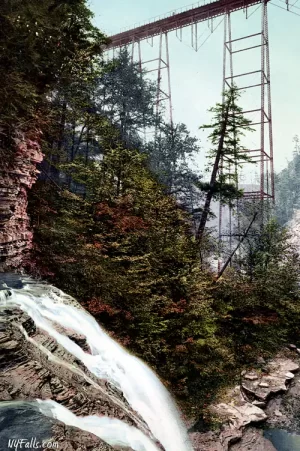
The High Bridge, officially known as the Stony Brook Viaduct, was the second-highest railroad bridge in the United States at the time of its construction. Spanning the deep gorge of Stony Brook Glen in Dansville, the bridge served the Pittsburgh, Shawmut, and Northern Railroad since its completion in 1886. Initially made of iron, the structure was later found to be insufficient for traffic and was replaced by a steel bridge in 1907. Constructed with 1,300,000 lbs of steel by the American Bridge Company of Elmira Heights, it stretched 700 feet long and stood 245 feet above the gorge.
Along with its opening, the rail company constructed a steep wooden staircase leading down into the upper gorge, allowing picnickers access to the scenic glen. This was the first public access to what is now Stony Brook State Park. However, the staircase was closed several years later due to safety concerns. Despite its historical significance and engineering marvel, the bridge faced destruction in the mid-20th century, with the last passenger train crossing on April 18, 1938, and demolition beginning in 1948. The removal of the bridge marked the end of an era for the Dansville region, as it had been a critical component of the local rail infrastructure. Today, the only remnants of the bridge and the picturesque gorge it once spanned are the concrete trestle foundations, which can be seen from the gorge trail.

Hiking / Walking Trails
Gorge Trail
Difficulty: Moderate (due to the numerous uneven steps).
Markings: Stone walkway; labeled trail-head.
Distance: About a mile one way.
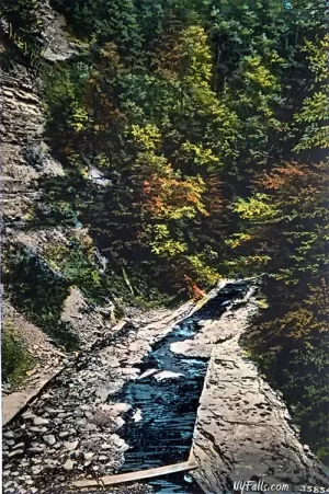
Trail Guide: The official gorge trails are clearly defined as a dirt and stone trail with steps and bridges. Walking in the creek is currently prohibited.
- Pick up the trail from the swimming area, which is just east of the main parking lot and the playground. You will walk past the swimming pools (which will be drained in the off-season).
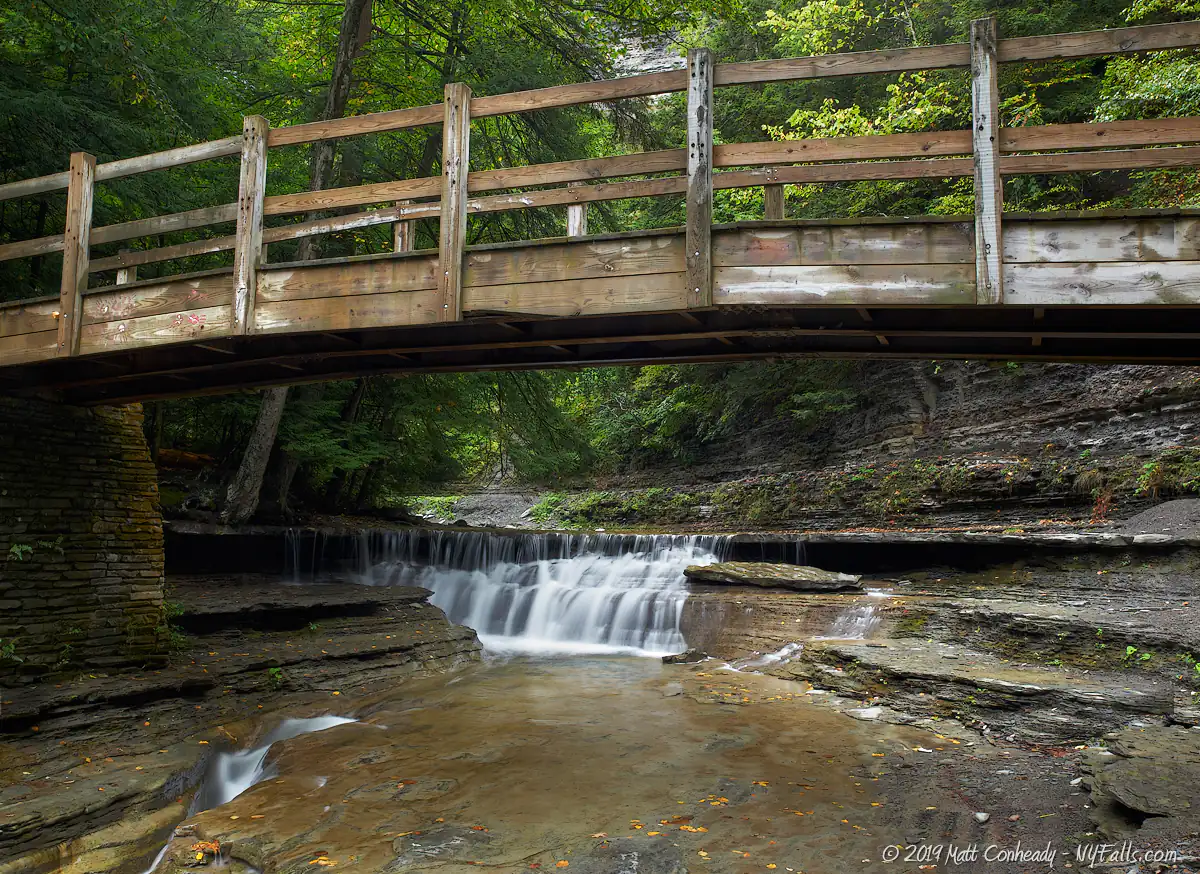
- Keep on the stone path on the right side of the gorge, which will pass some very small waterfalls. It will come to a bridge over a chute-like waterfall and cross to the other side.
- Pass 3 more waterfalls then use the bridge to cross over to the right side of the gorge.
- Continue along the trail, using the steps to ascend waterfalls.
- The trail ends just short of the campground area where it ascends the gorge. At this point you can creek-walk to one more large waterfall. Do not attempt to climb further up into the gorge.
Pets are not allowed on this trail for health and safety reasons. The water from this creek fills the pool below. Don’t bring your pet and let them mess in the water upstream from the swimming area.
Maps: Park Map (PDF); Trail Map (PDF);
Stony Brook State Park Interactive Map
Stony Brook State Park Media
Stony Brook State Park Audio
Sounds of a waterfall at Stony Brook
Sounds of a waterfall at Stony Brook 2
Sounds of a waterfall at Stony Brook 3
Sounds of a waterfall at Stony Brook 4
Sounds of a waterfall at Stony Brook 5
Stony Brook State Park Videos
More coming soon…
Stony Brook State Park Photo Gallery
A friendly reminder that the photos on this page are under copyright of the creator and unauthorized commercial use will result in a bill being sent for license fees.
Interesting Stuff
Plunge Pools
The pools at the base of the larger falls are deep enough for a refreshing dip. If you can fit, some of the narrow channels can be slid down.
Old Rail Bridge
Stone pillars mark the location of an old railroad that brought tourists into the park during the late 1800s. The station was located where the campground office is today.
Natural Gas
In the lower park, bubbles can often be seen coming up from the water. These are natural gas bubbles. The gas was used for lighting and cooking.
Sawmill site
The park offers a swimming area by damming off the creek bed near the snack bar and changing rooms. This is near the site of a colonial saw and grist mill.
Photography Tips
Photographing the Falls
- Don’t be afraid to get soaked standing in a plunge-pool to get a better angle on the falls.
- People in the creek doesn’t necessarily mean you cannot shoot. Include people for scale.
- The Upper Falls sports a small ledge on the right side. It’s a perfect spot for someone to stand for an intimate portrait in front of the falls.
Overcast skies
- This frothy waterfall sparkles in sunlight which will cause exposure problems. It is best to wait for an overcast sky for this one.
Silky Water Effect
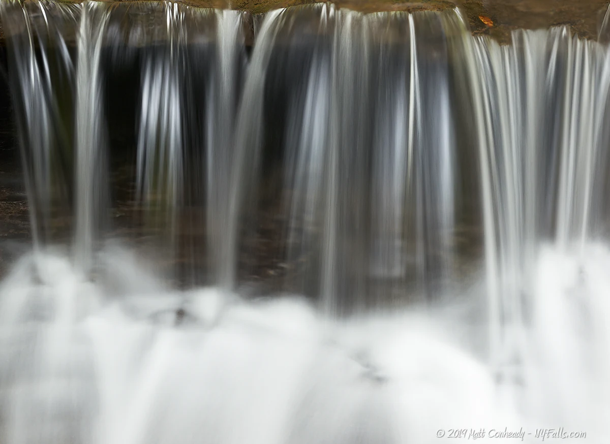
- To get that smooth cotton-candy look to the falls, you need to use a Neutral Density (ND) filter on your lens. The ND filter will block some of the light from entering the lens without altering the color, and thus allow your shutter to stay open longer. This blurs the water and creates a soft white gloss to the foamy areas of the falls. Check out the article for the all the details.
More tips
- See the Articles for more photography tips.
Who to Contact
Stony Brook State Park
10820 State Route 36
Dansville, NY 14437
Phone: (585) 335-8111
Alt. phone: (585) 335-5530


