Twin Falls (Templar Falls)
Location: On the south end of Seneca Lake; west of the village of Watkins Glen, town of Dix, Schuyler County, New York.
Maps: Google Map; Topographic; Interactive map; Buy FLT maps here.
GPS Coordinates: Twin Falls: 42.36880 / W 76.958697
Directions: Take Rt. 14 from Watkins Glen north to Bath Street. Make a left onto Bath and follow it as it becomes County Line Rd. After about 2 and a half miles, turn left onto Van Zandt Hollow Rd. You will cross a creek and then merge onto Templar Rd. Pull off to the side of the road where you see the Finger Lakes Trail signs. The falls will be on your right.
Or use Google Maps.
Parking: Roadside parking along Templar Road near the trail-head. Space for several cars.
Weather
Information / Accessibility / Accommodations
Number of falls: 2 falls.
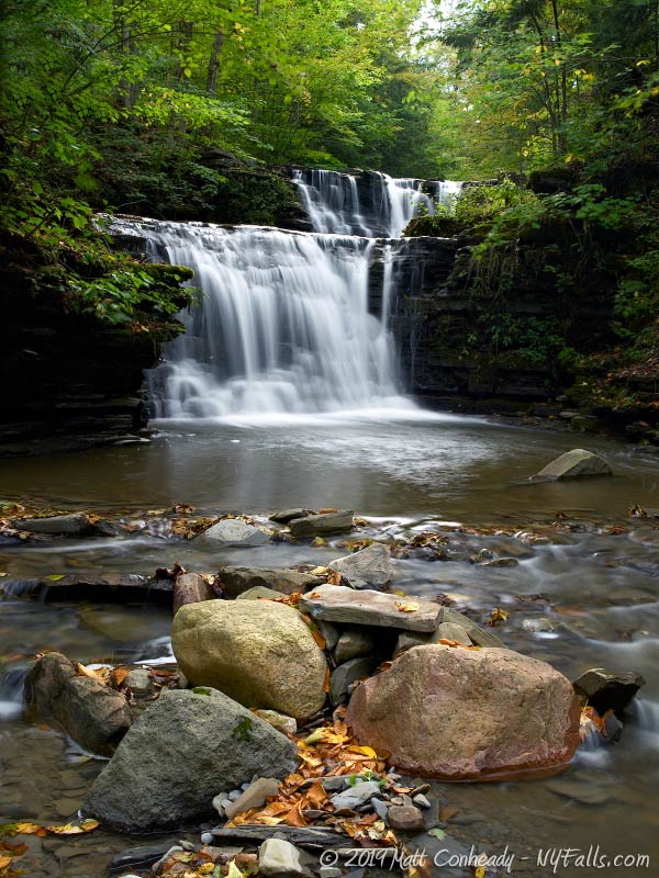
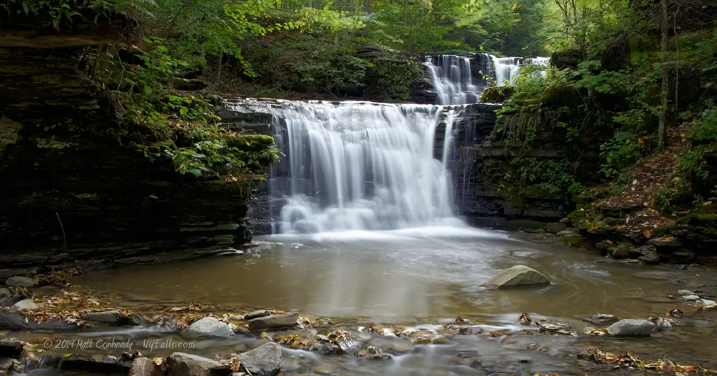
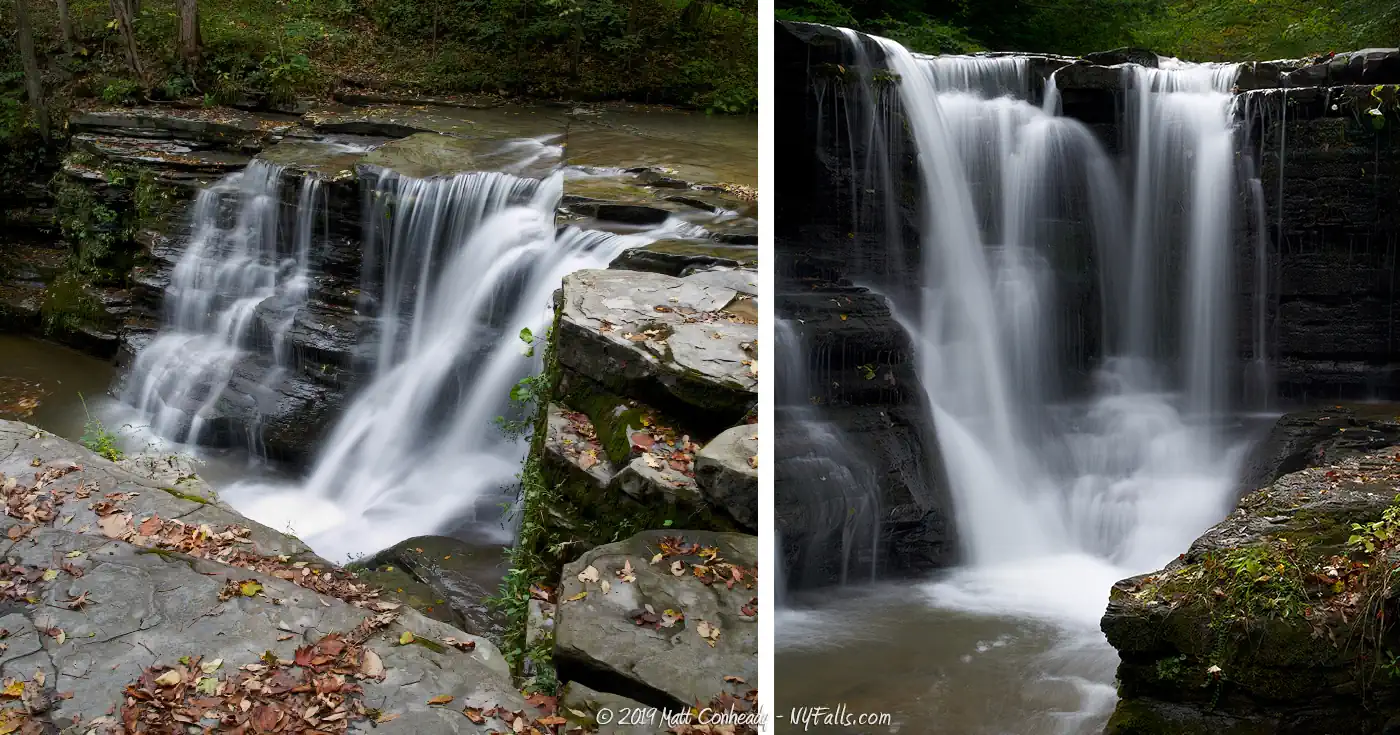
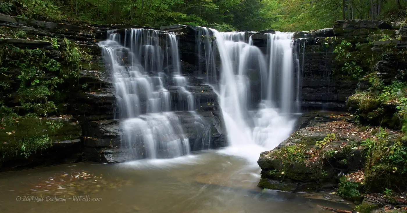
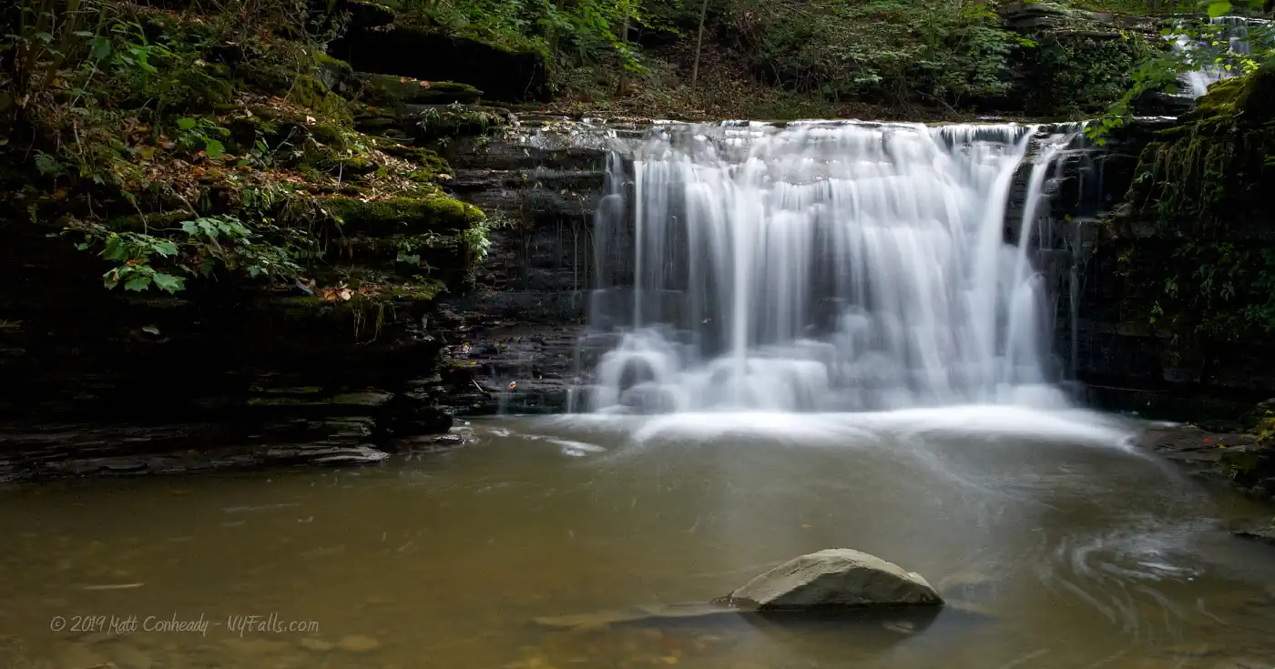
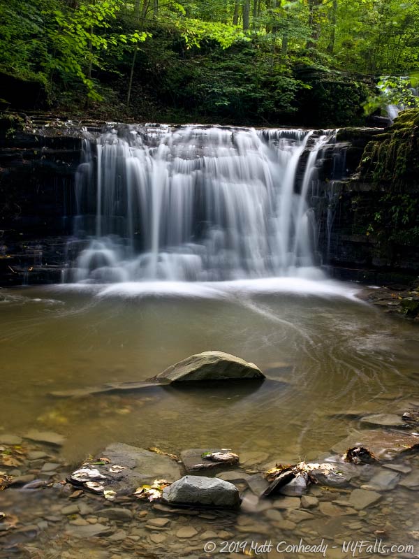
Size/Types: The Upper Falls is a 15 foot high cascade, and the Lower Falls is slightly smaller (roughly 11-13 feet).
Best time to visit: Year-round.
Flow: Variable, but usually flowing.
Waterway: Glen Creek, which begins just to the west near Sugar Hill and flows east through Watkins Glen State Park, and then the village, where it joins with the Barge Canal/Seneca Lake Inlet and empties into Seneca Lake at the southern end.
Time: 2 minutes to get to the crest of the Upper Falls. 2 more minutes to get to the crest on the other side of the Upper Falls. 15 minutes to climb safely down to the bottom of Lower Falls.
Seasons/Hours: Year-round; all day, all night.
Admission: Free.
Handicap accessibility: No.
Pets: Allowed, but not recommended.
Accommodations: None. Although the village of Watkins Glen is not far away.
Description
AKA: Templar Falls
Although not a spectacular sight, Twin Falls is only minutes away from Watkins Glen and offers a peaceful break from the tourist-packed park downstream.
The Finger Lakes Trail crosses this easily accessible, relatively flat, and calm section of Glen Creek called Ebenezer’s Crossing. Although you can reach the crest of the upper cascade of Twin Falls without crossing the creek, we feel that the view only gets better if you proceed. The Finger Lakes Trail bypasses the falls here, and many stop to enjoy the sound of the waterfall before they continue on their journey.
From the top you can barely see the Lower Falls, but can easily spot the varying drops and bounces the water takes as it pours down the larger, Upper Falls. To see the Lower Falls, you’ll have to cross the creek to the northern end and climb down. There you’ll see both falls head-on, and the noise from the road above will melt away behind the sound of rushing water and the wind in the trees.

History
The town of Dix was first settled around 1798. This particular area of the town was settled in the early 1800s and in the 1850s a grist mill operated below these falls. If you follow the white FLT blazes to the north and explore a small unmarked trail, you’ll find the Buck Settlement Cemetery. Ebenezer’s Crossing was named after Ebenezer Buck, who is buried with his wife in the nearby cemetery. An 1875 map shows a saw mill on this site. Originally referred to as “Twin Falls,” the name “Templar Falls” seemed to become more popular in the 2010s/
Hiking / Walking Trails
To the falls
Difficulty: Easy.
Distance: Less than 50 feet.
Markings: Finger Lakes Trail (FLT) blazes.
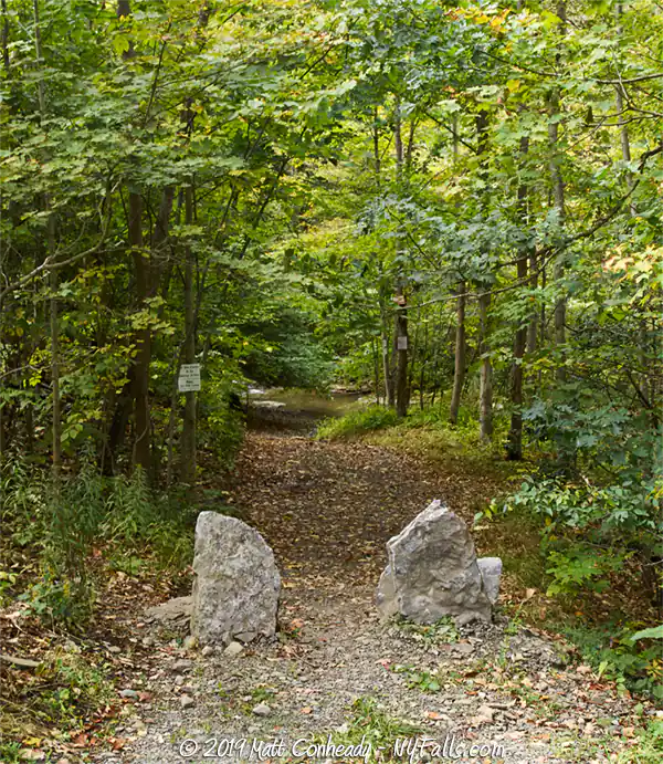
Description: From the roadside, look for the FLT signs to indicate the trail junction. You’ll want to enter the trail on the right (coming from Van ZandtHollow Rd). The well-kept FLT trail will lead you past the southern edge of the falls. View the falls from above or continue on to get to the base.
To get below the falls
Difficulty: Moderate (slippery trail and some climbing).
Distance: less than 100 feet from the south end of the crest.
Markings: None.
Description: From the FLT trail at the southern edge of the falls, continue upstream to a point where you will have to cross the creek to proceed. There’s no bridge and if the water level is high, you’ll have to face getting a bit wet. Be careful: the smooth limestone rock of the creek-bed can get slippery.
Once you cross the creek continue on your right back to the falls. You’ll be at the crest again . If you want to proceed, you’ll have to climb down where a smaller gully meets up with Glen Creek. Be careful: it’s often muddy and the rocks and trees could easily dislodge from the cliff edge.
Maps: Interactive.
Twin Falls Interactive Map
Twin Falls Media
Twin Falls Videos

Interesting Stuff
Buck Settlement
Continue up the Finger Lakes Trail for a few hundred yards to find the Buck Settlement Cemetery, the last remnant of this late 19 century village in the town of Dix.
Photography Tips
Photographing Twin Falls
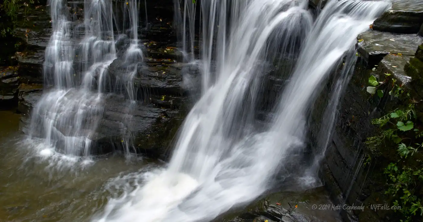
- The falls has many little drops of varying shapes and sizes. Try shooting close-ups.
- From the base of the Lower Falls, find the right angle to get both falls in the frame. Dragging a small step ladder down there will help get more of the Upper Falls in the frame.
Proper creek-walk footwear
- Wear the proper footwear for creek walking and climbing. Not only can a quality pair of water shoes prevent blisters and infection, they will help you stick better to the ground and reduce your risk of falling, hurting your self, or your camera gear.
Silky Water Effect
- To get that smooth cotton-candy look to the falls, you need to use a Neutral Density (ND) filter on your lens. The ND filter will block some of the light from entering the lens without altering the color, and thus allow your shutter to stay open longer. This blurs the water and creates a soft white gloss to the foamy areas of the falls. Check out the article for the all the details.
More tips
- See the Articles for more photography tips.
Who to Contact
Finger Lakes Trail Conference
6111 Visitor Center Rd.
Mt. Morris, NY 14510
Phone: (585) 658-9320
fingerlakestrail.org


