Palmyra-Macedon Aqueduct Falls
Location: In the village of Palmyra, within both the towns of Macedon and Palmyra, Wayne County, New York.
Maps: Google Map; Topographic; Interactive map.
GPS Coordinates:
- Spillway/Waterfall: N 43.06400 / W 77.25001
- Canal change bridge replica: N 43.06410 / W 77.24727
- Lock 29 gate house: N 43.06506 / W 77.24904
Directions: Take NY-31 (Pittsford-Palmyra Rd) to Palmyra. The park is just west of the village, across from Creek Rd.
Or use Google Directions.
Parking: There are several lots throughout the park. The one closest to the falls is also the largest. Enter the park and drive straight. The park road will loop back left and enter the lot.

Weather
Information / Accessibility / Accommodations
Number of falls: 1 (it’s really a man-made spillway, but it’s also water that falls) 😉
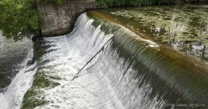
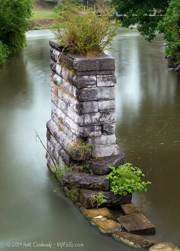
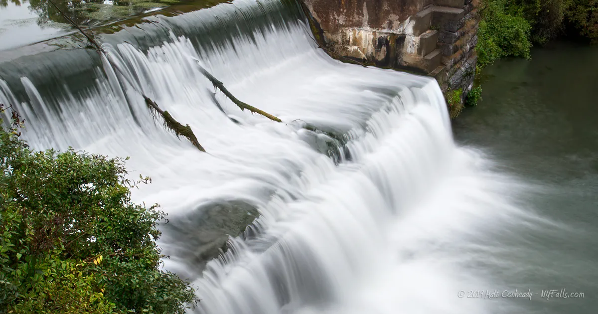
Size/Types: A man-made, S-shaped slope, about 15 ft high, that drains from the neighboring Erie Canal lock into Ganargua Creek. Crafted from bricks. Next to it is the remains of an old canal aqueduct.
Best time to visit: Spring through November. Whenever the canal has water. Best seen when the canal locks are in use.
Flow: Variable. The flow will reduce when water in the channel is diverted to fill the lock. When the lock is draining, the flow will increase considerably. The canal is drained in November and filled in May.
Waterway: The water that falls is from the Erie Canal. It enters Ganargua Creek, which combines with the Erie Canal again just downstream.
Time: Just a 5-minute walk from the parking. A few more minutes to see the canal lock.
Seasons/Hours: Park open year-round. Dawn to dusk.
Admission: Free.
Handicap accessibility: Yes.
Pets: Allowed on leash.
Accommodations: Gravel walkways; picnic tables; pavilions; ball field; playgrounds; restrooms; historic markers; Canalway Trail.
Description
Palmyra Canal Park Falls, Mud Creek Falls, Lock 29 Falls, Palmyra-Macedon Spillway
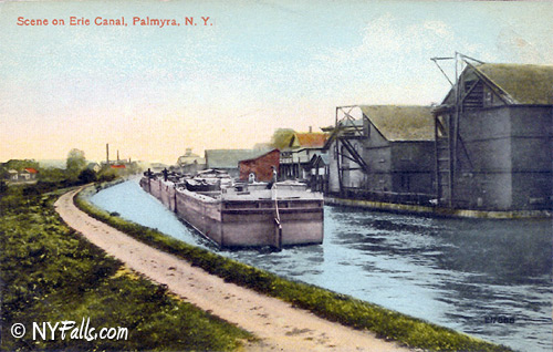
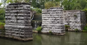
Palmyra-Macedon Aqueduct Park is a tribute to the remnants of past iterations of the Erie Canal, which continues to pass through here, just not in the same manner as before. In the early 1800s, engineers had to segregate the canalway from natural waterways—to control flooding. At this very spot, a wooden aqueduct with stone abutments, carried the canal over Ganargua Creek (often called Mud Creek).
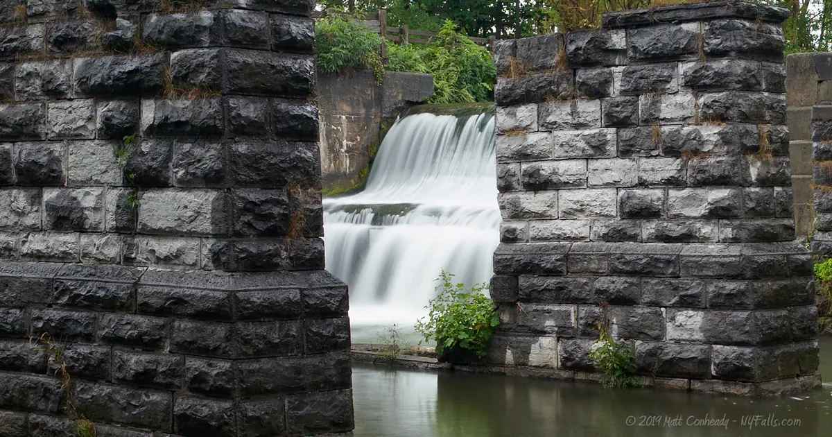
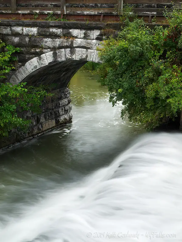
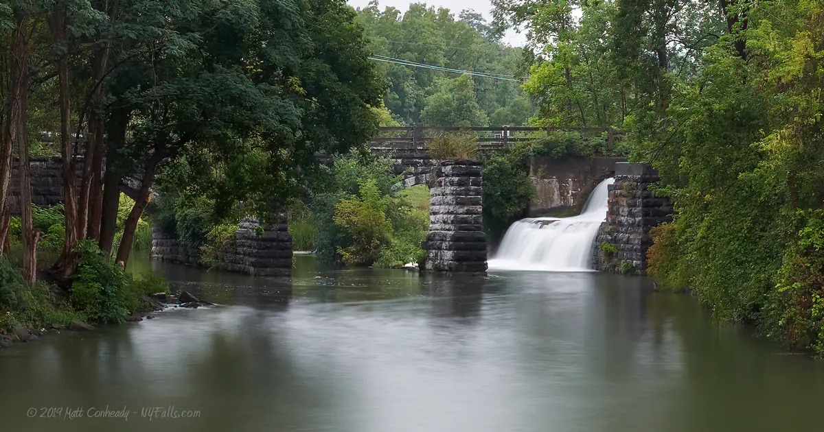
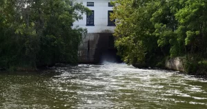
As the years went on, and the canal was rebuilt larger and more advanced, other flood-control measures made aqueducts like these unnecessary, and they were dismantled. The canal was moved slightly to the north, and a portion of the former aqueduct was modified into a flood-control outlet that dumps into Ganargua Creek. This outlet is the waterfall. The stone abutments still stand, covered in greenery and crumbling. The southern canal towpath now serves as part of the Canalway Trail, carrying hikers and cyclists over the creek.
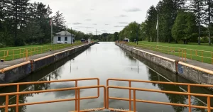
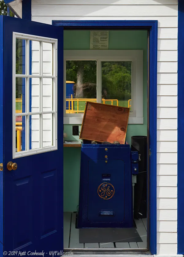
Palmyra-Macedon Aqueduct Park is a clean and pleasant park, often filled with the sound of rushing water. Erie Canal Lock 29 is here, and its pumping stations will dictate the flow of the falls. Throughout the day, the falls will spill a moderate amount of water. When the lock is drained, it spills over the falls, increasing the flow dramatically. When the lock is being filled, flow over the falls will stop, and you can clearly see the stonework underneath. At one time the pumps that run this lock were completely powered by water. Today the station is plugged into the electrical grid.
The waterfall stands roughly 15 feet high and is composed of hand-crafted stone-work. Its curvy shape carries water down with little ordeal, but the bumpy stonework manages to mix it up a bit and give it some noise.
History
Palmyra has a rich history, mostly notably impacted by the opening of the Eire Canal in 1825. It was immediately following the opening of the canal, that the population of Palmyra more than doubled, businesses sprang up, and the economy bustled. Agriculture and manufacturing were strong. The income the canal brought into the local economy built the buildings you see on Main Street as well as the federal-style homes scattered about the village.
Besides transporting goods, the canal also brought a fair share of religious influence to the region. Boats, packed with missionaries for old and newfound sects, would travel up and down the canal, stopping at every town and village to spread the word. It would become a common occurrence for residents to be preached to about a new religion every week.
The cradle of Mormonism lies near Palmyra. Joseph Smith, the founder of the of Church of Jesus Christ of Latter Day Saints, was born in Vermont and moved to Palmyra as a teenager, with his family. He supposedly found golden plates, inscribed with the word of God, on nearby Hill Cumorah in Manchester, which he translated into the Book of Mormon. It was first published in Palmyra. Today, thousands from all over the country came to experience the Hill Cumorah Pageant until its final year in 2019.
Hiking / Walking Trails
Difficulty: Easy.
Markings: None.
Distance: Less than 250 ft to see it from multiple angles.
Description: You can view falls from several spots around the park. Start by heading west from the entrance, along the Canalway Trail that runs parallel to Rt 31. It will lead you to the old towpath and an excellent view of the falls and stone ruins.
Head back to the parking lot and cross the grassy area, passing the pavilion and playground to get a view of the falls from the creek bank. If you are feeling up to it, scramble through the brush directly across the falls to get another view.
Now head north to the steel bridge that crosses the creek. Cross the bridge and turn back for another excellent view. Keep heading north, uphill, to check out lock 29. Head west to the large pumping station and use the cement platform along the back to cross the water to the south. Head to the trees to get to the crest of the falls.
Map: Interactive.
Pal-Mac Aqueduct Falls Interactive Map
Aqueduct Falls Media
Interesting Stuff
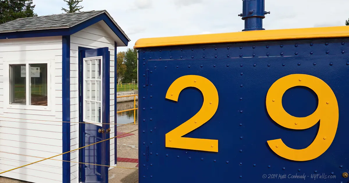
Lock 29
Take some time to learn how the lock operates. Have patience, a boat will be by soon. Say hello to the operator, he/she will be glad to answer any questions you may have.
Aldrich Change Bridge
The Aldrich Change Bridge has been reconstructed and you can check it our near the parking lot at the park entrance. Since the canal lacked any current, and powered boats were a rarity at the time, boats had to be drawn, usually by horses or donkeys. Towpaths were built on either side of the canal to allow for this. If the tow team had to switch sides, they would have to come upon one of these in order to do so. This bridge is one of only two left.
Canalway Trail
The Canalway Trail features over 260 miles of trail systems that parallel the New York canal system. The stretch that passes by here is the Erie Canal Heritage Trail, stretching 70 miles from Lockport to Palmyra.
Photography Tips
The Falls
- Set aside plenty of time to catch the falls at different levels of flow. It varies depending on the activity of the lock.
- Try to capture the aqueduct ruins in your shots.
- A head-on shot is near impossible, scrambling up the ruins on the other side will get you close, but a lot of vegetation will be in the way. Don’t climb on the ruins. They are not stable.
Silky Water Effect
- To get that smooth cotton-candy look to the falls, you need to use a Neutral Density (ND) filter on your lens. The ND filter will block some of the light from entering the lens without altering the color, and thus allow your shutter to stay open longer. This blurs the water and creates a soft white gloss to the foamy areas of the falls. Check out the article for the all the details.
More tips
- See the Articles for more photography tips.
Who to Contact
Wayne County Buildings and Grounds / Parks
7312 Rt. 31
Lyons, NY 14489
Phone: (315) 946-5836
co.wayne.ny.us


