Edwards Falls
Location: Southeast of Manlius; Town of Manlius; Southeast of Syracuse; Onondaga County; New York.
Maps: Google Map, Topographic; Interactive map.
GPS Coordinates:
- Parking and Trailhead: (N 42.99281 / W 75.96097)
- Edwards Falls: (N 42.99026 / W 75.96212)
- Edwards Falls Dam (upstream): (N 42.98927 / W 75.96017)
Directions: From the Village of Manlius (NY-173) head southeast on Washington St (NY-92). It will become Cazenovia Rd. After about a mile, turn right onto Pompey Center Road, then another right onto Bluffview Dr. As soon as you get onto Bluffview, pull over and park. Walk to the Suburban Park Apartment complex to start the hike. Or use Google Maps.
Parking: Roadside parking on Bluffview Drive. Space for a couple of cars.
Weather
Information / Accessibility / Accommodations
Note: The trail leading from Bluffview Drive into the gorge is of unknown property status. The area directly below the falls is on private property. No playing in the water below the falls. While the best access point seems to be from behind the Suburban Park Apartment complex, that’s private property, so it’s best not to park there. Obey all signs.
Number of falls: 1.
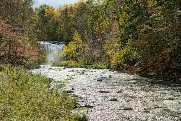
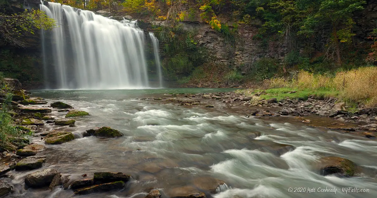
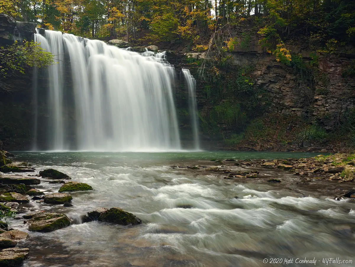
Size/Types: Edwards Falls is a 50-60 ft tall plummet from a sheer limestone cliff. Upstream there is a 30 ft dam visible from the road.
Best time to visit: Year-round. It may be difficult getting to Edward’s Falls when it’s icy.
Flow: Moderate.
Waterway: Limestone Creek begins in the hills beyond Labrador Hollow to the southeast, passes through Manlius and Fayetteville, crosses the Erie Canal, and then continues north to where it combines with Chittenango Creek just south of the Cicero Swamp. It eventually empties into Oneida Lake at Maple Bay.
Time: 1 hour to see the dam, and then hike down into the gorge to see the main falls.
Seasons/Hours: Daytime.
Admission: Free.
Handicap accessibility: No.
Pets: Due to the danger involved with this trail, we highly recommend not bringing your pets. This is not only for your pet’s safety, but for the safety of fellow hikers.
Accommodations: None.
Description
AKA: Limestone Creek Falls, Manlius Falls, Old Dam Falls
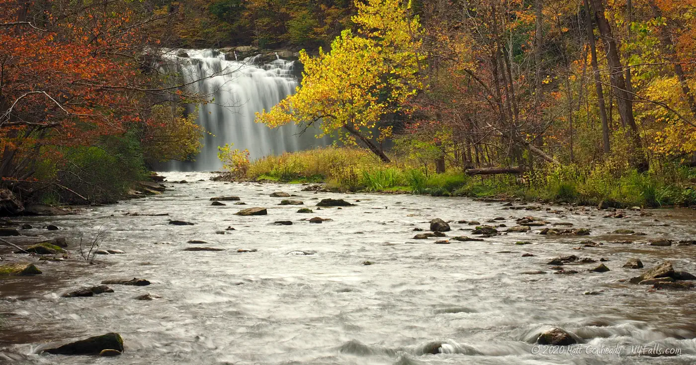
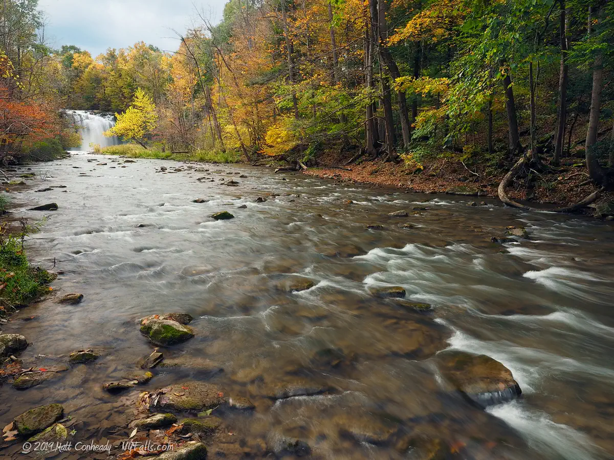
Edwards Falls and its gorge is one of those places that really feels like it shouldn’t be there. Surrounded by relatively flat terrain, the gorge is pretty steep, walling off the surrounding residences and the creek just feels isolated and peaceful. When I visited in early fall, not a soul was to be found, and I had the place to myself. It almost felt like I shouldn’t be there. I found this to be the appeal of the falls. With a highly public man-made falls (Old Dam Falls) just upstream, and the access to the man-made wonder hidden and mostly undocumented, Edwards is truly a gem.
Limestone creek passes under Pompey Center Road, tumbles a bit before plummeting over 60 feet or so of limestone, into a narrow gorge. The shape and size of the falls is reminiscent of Salmon River Falls to the north, but at a slightly smaller scale. I found the natural falls to be quite a breathtaking sight, and since I was only able to see it from below, it seemed quite large. The old mill dam falls, easily accessible from the road upstream, was partially obscured by trees, and while nice, isn’t alone worth the trip.
Video and reports of the falls found online show swimming and jumping (yeah – from the top of the falls) – which is definitely a dumb thing to do.

History
Colonel Elijah Phillips arrived in Manlius in 1792 and leased the property at Edwards Falls, building the first sawmill in the area shortly after. In 1796 Butler & Phillips opened a gristmill as well.
Edwards Falls was named for Samuel Lynson Edwards, Esq, a graduate of Yale College, who came to study law in Manlius and worked as a lawyer, Town Clerk, served on the New York State Assembly (1823-1824), Manlius town Supervisor (1826-1827), then was First Judge of the Onondaga Country Court (1831-1833), and finally a New York State Senator in the 7th District (1833-1840). He was born February 14, 1789 in Fairfield, Fairfield County, Connecticut and died April 7, 1877 in Manlius, Onondaga County, New York.
An amusement park, Suburban Park, was opened in 1898 by the Syracuse and Suburban Railroad Company. It was along the gorge to the north and offered a view of the falls. It closed in 1973.
An old foundation can be found near the creek on the east bank just south of the apartment complex. The foundation is stone with no mortar. There’s a stone arch feature that’s mostly buried, leading me to believe this was a mill of some sort. After several hours of research, I’m stumped. Let me know if you know any detail on the origin of this structure.

Hiking / Walking Trails
Difficulty: Difficult. You will need to do some boulder climbing to get to a point where you can see Edwards Falls. You can easily see the dam from your car from Pompey Center Rd.
Distance: About 100 ft from the road, downhill.
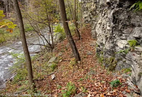
Markings: None. The path is decently defined at first and then the trail dissolves and you just creek walk or climb the boulders next to the gorge wall.
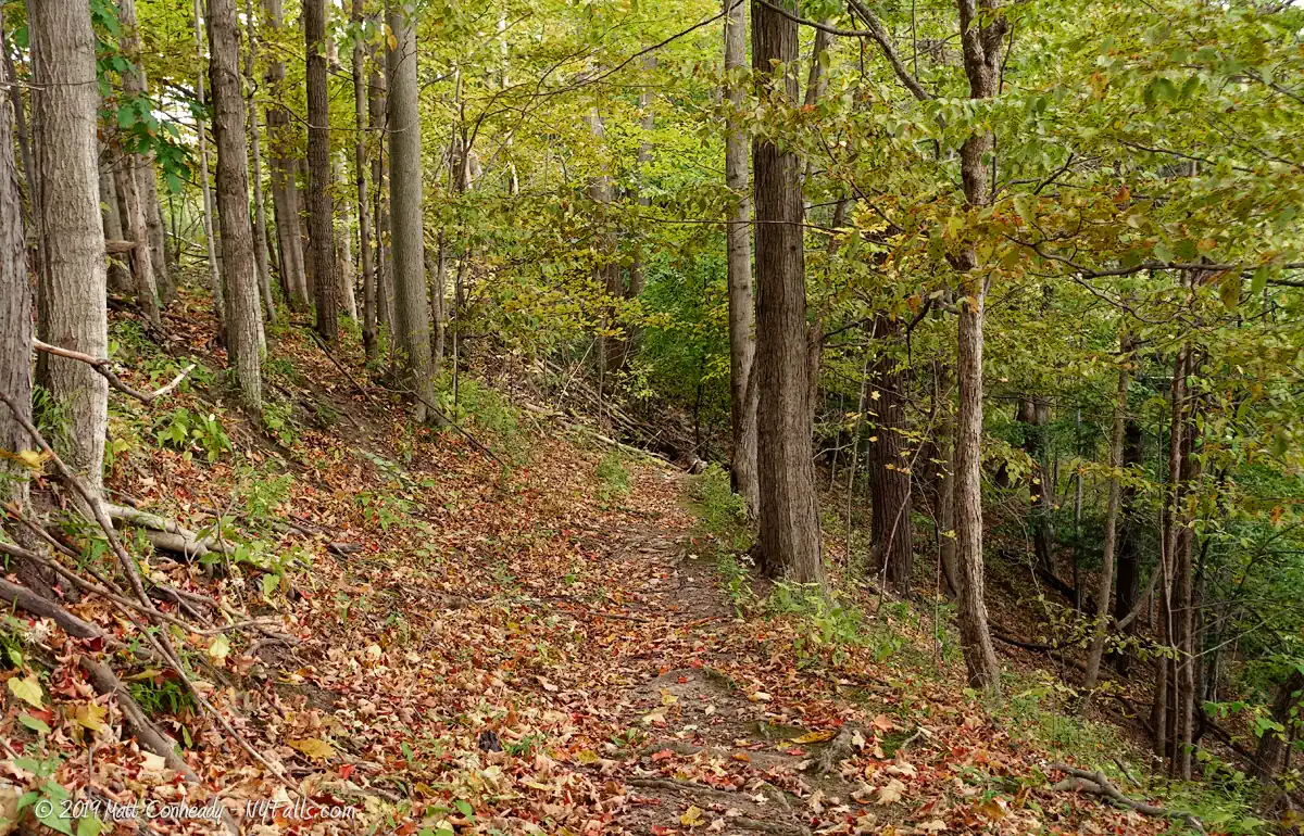
Description: Getting to Edward’s Falls is pretty straightforward, but the incline may hinder most.
You can pick up the trail from the South end of Suburban Park apartments. There is a paved path that runs into the woods. Head west into the brush around where this trail begins, and you should pick up a small dirt trail. This will head south until it hits a steep incline. Proceed further south and follow the switchbacks down to creek level.
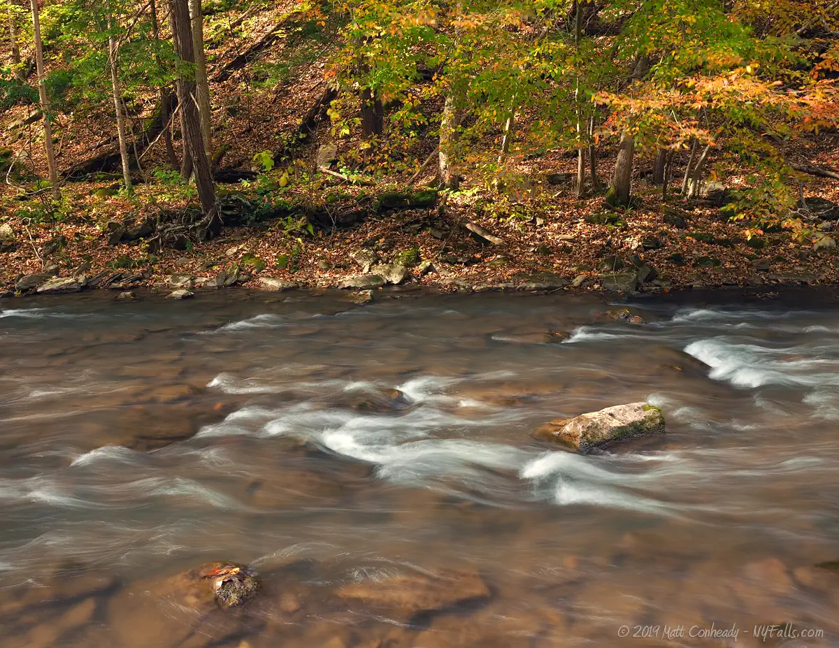
When you do get to the gorge, you have a choice. Scramble further along the gorge wall, which is going to require some boulder hopping. Be very careful. Alternatively you can get wet and walk up the creek or cross to the other side. In spring, the water flow can get quite heavy. Stop when you see posted signs. You should be able to get far enough to get a clear view of the falls.
Head back the way you came.
Some reports say one can enter the trail from Bluffview Dr., but it’s unconfirmed about the property status here.
Maps: Interactive map.
Edwards Falls Interactive Map
Edwards Falls Media
Edwards Falls Videos

Interesting Stuff
Manlius Village Historic District
Listed on the National Register of Historic Places in 1973, it is located on the east side of the village, and includes about 50 buildings, most of which are single-family homes. Most of the buildings date from the early 1800s, when the village was at the height of its mill industry.
Mill Run Park
The village’s largest park was founded in 1977 and consists of property once dotted with mills, and then targeted for development into an apartment complex. The park features several trails and typical park facilities. A dam constructed in the late 1800s is also featured.
Photography Tips
Get wet
- When I visited, the creek was relatively high and although I wanted to stay dry, the hike probably would have been a lot easier if I just crossed the creek and walked on the west side of it. Probably would have netted me a better view of the falls too.
In the gorge
- Don’t just shoot the falls. There are some hints of the past mill era in and around the gorge. Look out for old foundations as you go.
Silky Water Effect
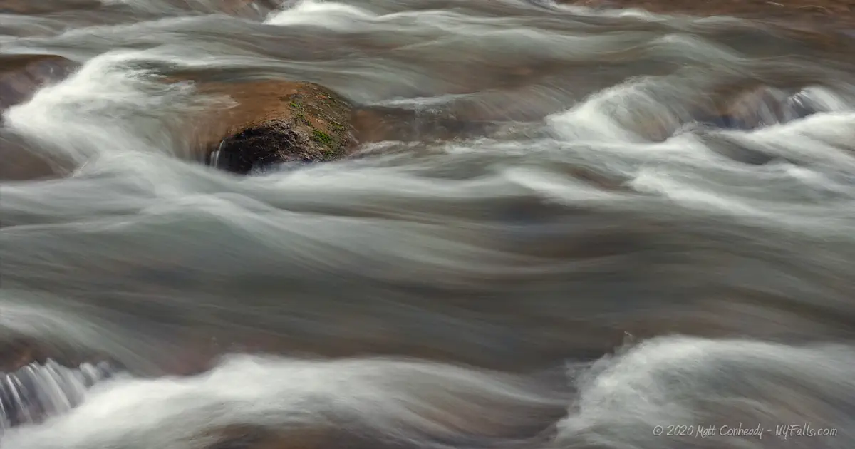
- To get that smooth cotton-candy look to the falls, you need to use a Neutral Density (ND) filter on your lens. The ND filter will block some of the light from entering the lens without altering the color, and thus allow your shutter to stay open longer. This blurs the water and creates a soft white gloss to the foamy areas of the falls. Check out the article for the all the details.
More tips
- See the Articles for more photography tips.
Who to Contact
Village of Manlius
118 Mill Street
Manlius, NY 13104
Phone: 315-682-7634
manliusvillage.org


