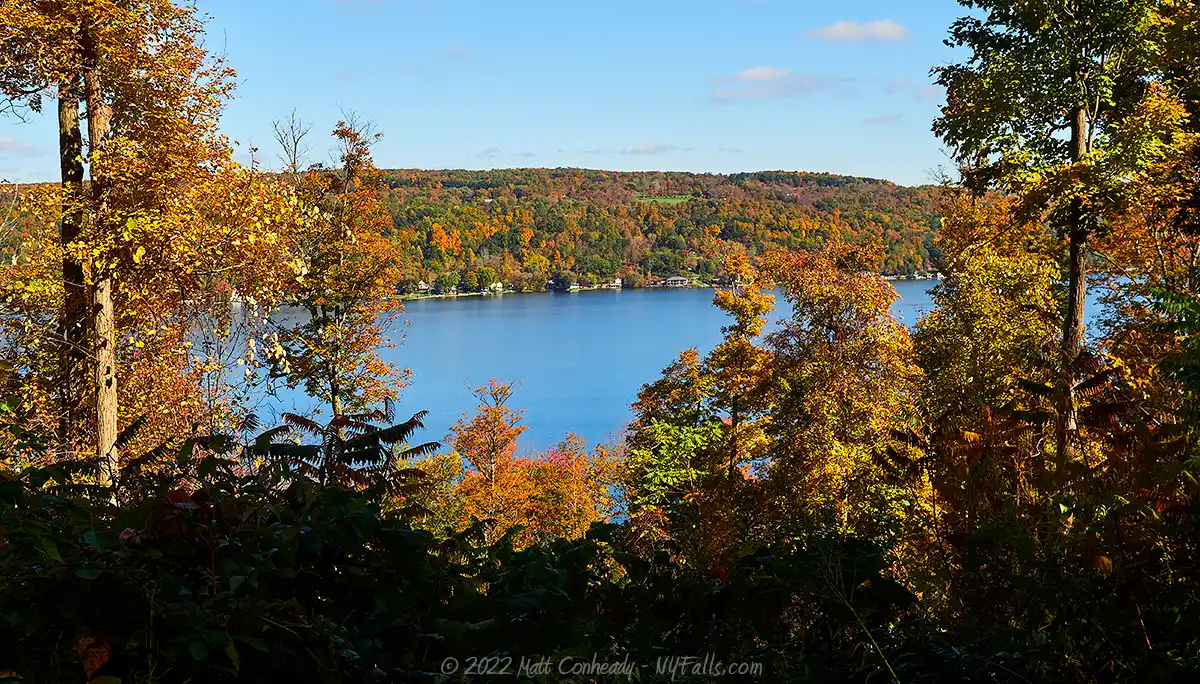
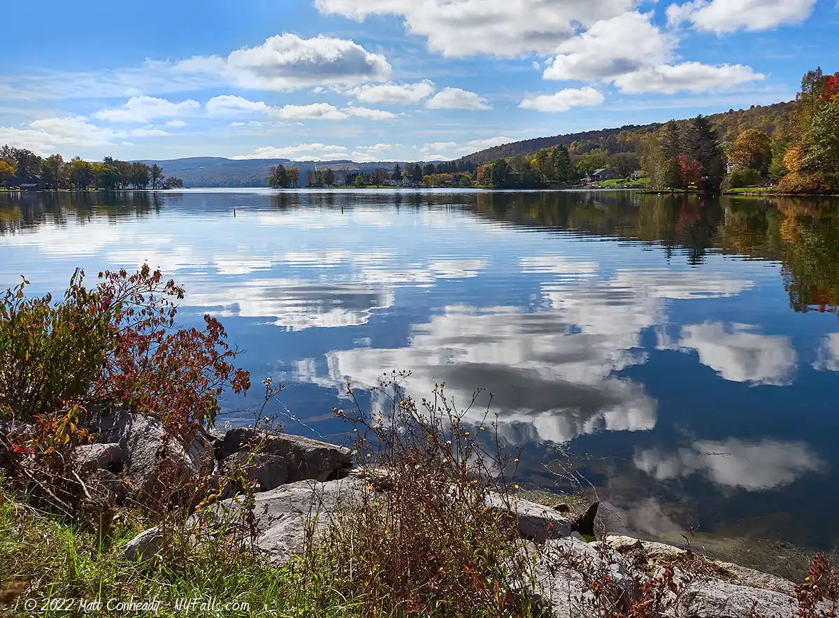
Otisco Lake


Location: Onondaga county; southwest of Syracuse, New York.
Surrounding Communities: Otisco; Spafford; Onondaga; Marcellus; Marietta.
Maps: Google Map; Topographic; Contour.
GPS Coordinates:
- Northern outlet (Nine Mile Creek): N 42.90433 / W 76.31275
- Southern inlet (Spafford Creek): N 42.83670 / W 76.24864
Size:
- Area: 1878 acres
- Length: 5.4 miles
- Max width: 1 mile
Max depth: 60 feet.
Volume: 21 billion gallons.
Water Quality: Good.
Water supply for Syracuse.
Elevation: 788 feet.
Directions: Otisco Valley Rd. runs along the east side of the lake, while a series of roads, beginning with NY-174, line the west end.

Weather
Description / History
Pronunciation: “Oh-tis-ko”
From the Iroquois name meaning “Waters Dried Away”
Otisco Lake has a history of fluctuating water levels and periods of drought. Prior to damming it was much smaller and primarily marshland. It has been stabilized initially by the construction of a dam on the northern end (map) at Nine Mile Creek in 1869 to raise the water level by 9 feet, to store water for use by the Erie Canal. It was dammed once again in 1908, raising it another 4 feet for use as a water supply by the city of Syracuse and surrounding neighborhoods.
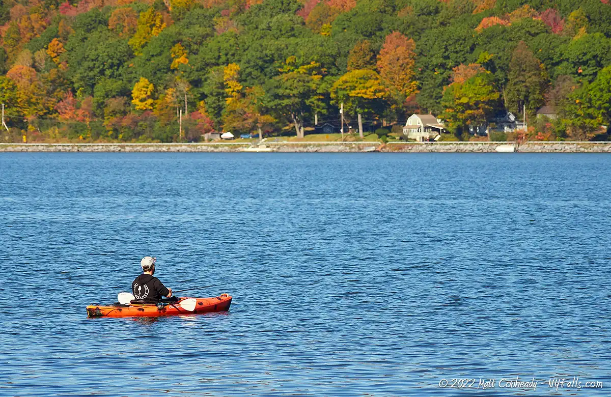
The southern end of the lake is sectioned off by a rock causeway, built for use by wagons to traverse the lake rather than circumvent it (map). A gap in the causeway close to the west bank allows for boats to travel through, but this barrier causes an interesting phenomenon. The marshland that was once here prior to the damming, was filled with mud and silt, now mixed in with the lake’s southern waters. This phenomenon is illustrated very well in color satellite photography. The shallower depths and abundance of organics in this section of the lake, led to contrast in the aquatic life there. No longer used for transportation, the causeway is today a favorite fishing spot that offers excellent views of the lake.
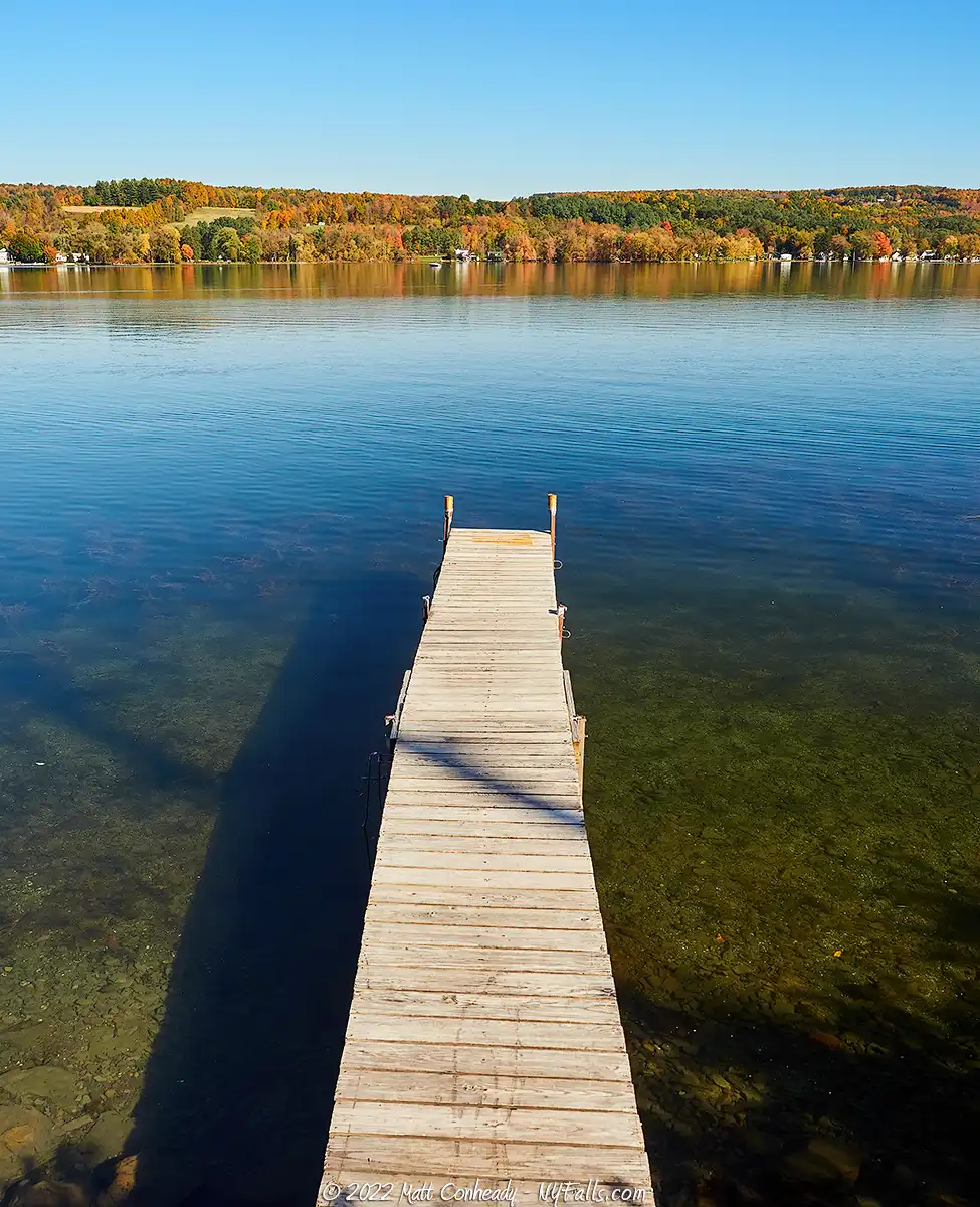
Primarily lined by residential and agricultural properties, there is little undeveloped land in the lake’s watershed, yet the quick renewal rate of the waters keeps the lake relatively clean. Its water is clean enough for Onondaga County to use it as a water source, but only after filtering (neighboring Skaneateles Lake’s waters are not filtered). Boating, fishing and swimming are very popular on Otisco Lake, and the causeway is one of the more interesting features to explore. As one of the more private lakes, Otisco has no public swimming or boat ramps.
Otisco Lake Parks / Beaches / Access Points
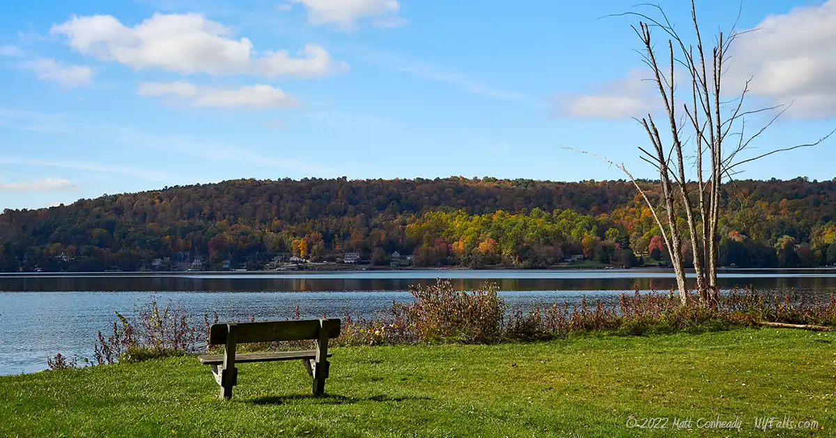
Otisco Lake County Park
Description: This 3 acre park on the northeast end of Otisco Lake was donated as a park by the Hirsch family and then dedicated by Onondaga County in 2000 as a lakeside family park. The property has a natural setting with trees scattered about and benches that face west for excellent views of the sunset over the lake.
Seasons/Hours: Year-round, from dawn to dusk.
Directions: Northeast end of the lake, off of Otisco Valley Road (CR 124), south of US 20 / SR 5. Google Maps.
Parking: Room for 5 cars.
Best time to visit: Spring through fall.
Pets: Allowed, on leash.
Admission: Free.
Handicap accessibility: No.
Swimming: Not allowed.
Boat Launch: None.
Accommodations: Benches.
Contact: Onondaga Parks: (315) 689-9367; [email protected]
Otisco Lake Causeway – DEC Fishing Access Site
Description: This DEC fishing access site is located on the western end of the causeway and allows for access to the western fifth of it.
Seasons/Hours: Year-round, day and night.
Directions: South end of the lake on the west side, at the intersection of CR 246 and CR1 113. Google Maps.
Parking: Roadside only.
Best time to visit: Spring through fall.
Pets: Allowed, on leash.
Admission: Free.
Handicap accessibility: No.
Swimming: Not allowed.
Boat Launch: Hand launch only.
Accommodations: None.
Contact: NYS DEC: (607) 753-3095; [email protected]

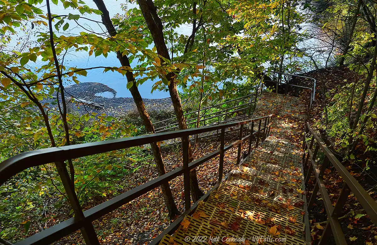
Otisco Lake Preserve
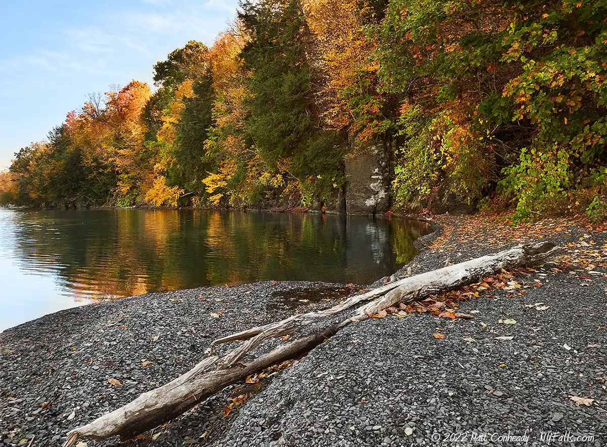
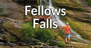
Description: A 36-arce preserve on the west side of Otisco Lake that features 1,300 feed of undeveloped shoreline. Bald eagles and other raptors have been known to nest here (which may cause occasional closures). A trail runs from Willowdale Rd down to the shoreline, offering several views and birdwatching opportunities along the way. A few seasonal waterfalls can be found in the shallow gullies in the preserve and on the northern border.
Seasons/Hours: Year-round, daylight hours.
Directions: Off of Willowdale Rd (CR-26) in Spafford. Google Maps.
Parking: A gravel lot off of Willowdale Rd (CR-26). Room for about 15 cars.
Best time to visit: Spring through fall.
Pets: Allowed, on leash.
Admission: Free.
Handicap accessibility: No.
Swimming: Not allowed.
Boat Launch: None.
Accommodations: None.
Contact: Finger Lakes Land Trust: (607) 275-9487; [email protected]
Map: Brochure and trail map.
More Finger Lakes Guides
Explore more of New York’s Finger Lakes parks, beaches, nature trails, waterfalls and more in our handy guides.
Fishing Information
Common species
Walleye; tiger muskellunge; sunfish; perch; rock bass; crappie; both large and small mouth bass; white bass; bullhead; brown trout; carp.
Best fishing spot
From the causeway for walleye and tiger muskie. The best spot along the causeway is at the gap between the two sides.
Fishing conditions
For current fishing information, a fishing hotline is available at Central New York Fishing Hotline or by calling (607) 753-1551.
Nearby Waterfalls
Interesting Stuff
Causeway
The west side of the causeway offers a unique chance to see the lake from the surface. To the south is the shallows, maintained by the damming of the north, which caused the water levels to rise. This lake used to be seasonal and often just marshland. To the north are the clearer and deeper waters. The causeway originally spanned the entire length of the lake, and was used as a shortcut road to avoid driving around the swampy southern end. It was washed out by flooding in 1929, and only recently was the western (fishing) end refurbished.
The Narrows
As the lake flows north, water reaches The Narrows, before it flows into Nine Mile Creek. The Narrows is named for the steep gradient of land that pinches the lake. This area is not an original part of the lake. It was created when it was dammed.
The View
Found east of Skaneateles Lake, the two lakes are separated by a high rolling hill that offers a great view of both lakes. The drive along East Lake Rd is unforgettable.

Who to Contact
General water concerns:
NYSDEC Region 7 Fisheries
1285 Fisher Ave.
Cortland, NY 13045
Phone: (607) 753-3095
E-mail: [email protected]
State boat launches/access
NYSDEC Region 7
615 Erie Blvd., West
Syracuse, NY 13204
Phone: (315) 426-7403
E-mail: [email protected]