Conesus Lake


Location: Livingston County, New York
Surrounding Communities: Conesus, Livonia, Geneseo, Lakeville, Mount Morris
Maps: Google Map, Topographic, Contour Map
GPS Coordinates:
- Northern outlet N 42.83431 / W 77.70441
- Southern inlet N 42.72315 / W 77.71411
Size:
- Area: 3,420 acres
- Length: 7.8 miles
- Max width: 1 Mile
Max depth: 66 feet
Volume: 43 billion gallons
Water Quality: Fair
Elevation: 818 feet
Directions: East Lake Rd. runs along the east side of Conesus Lake and West Lake Rd. (Rt.256) runs along the west side. Rt. 20A skims the North end offering access to both roads and Vitale Park. See below for specific directions to public access points along the lake.
Weather
Description
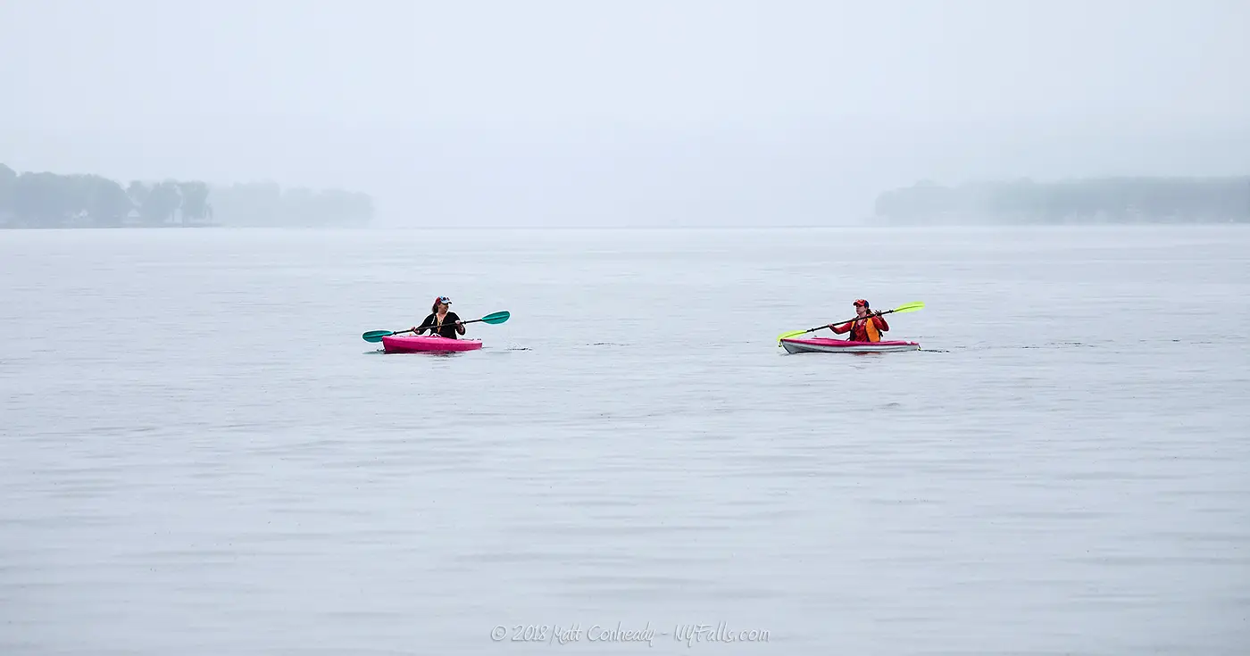
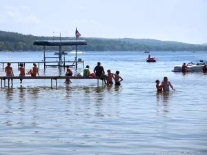
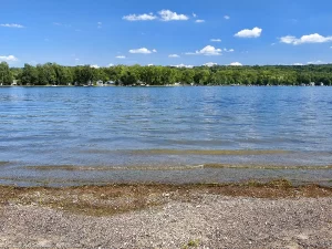
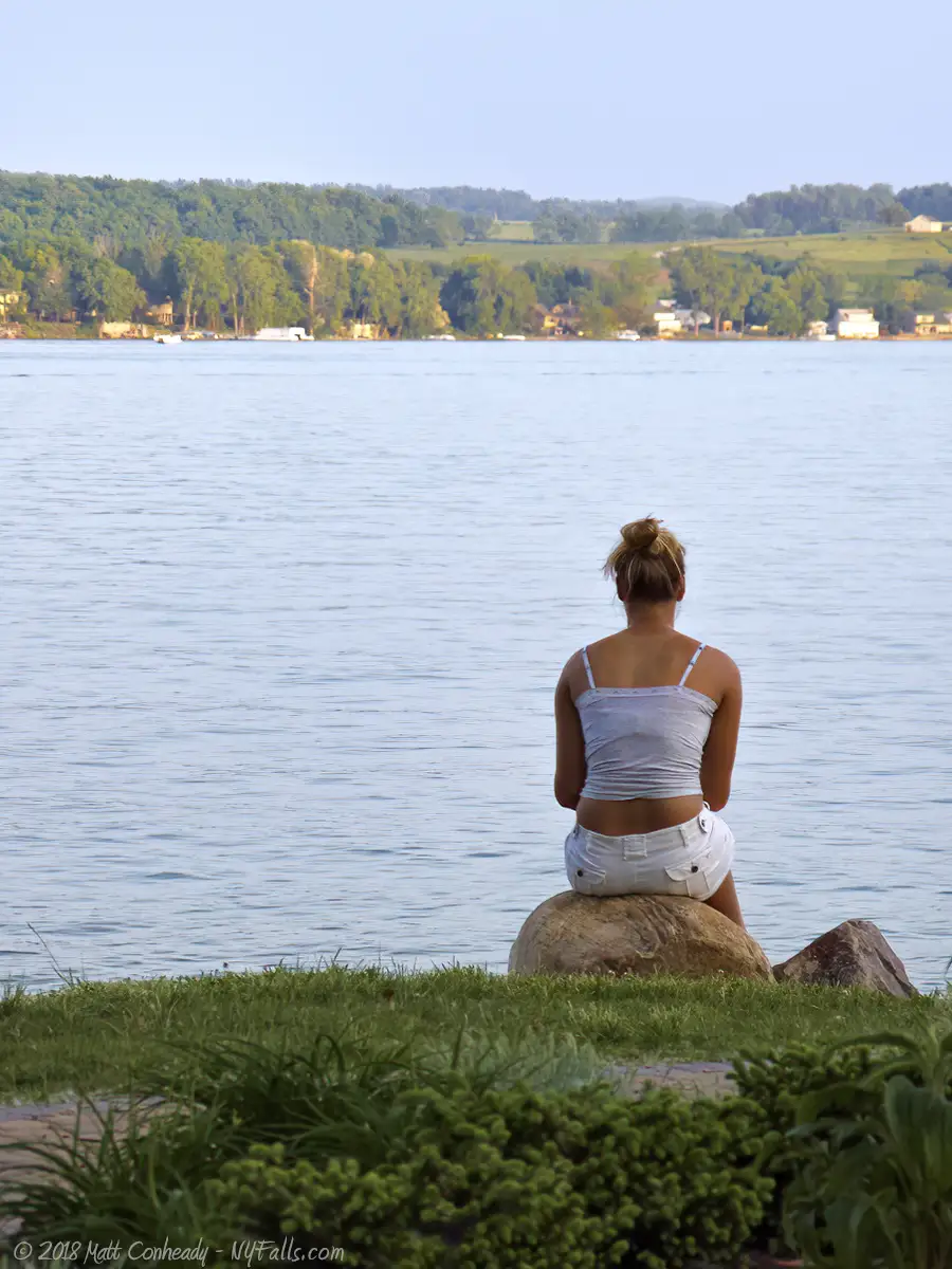
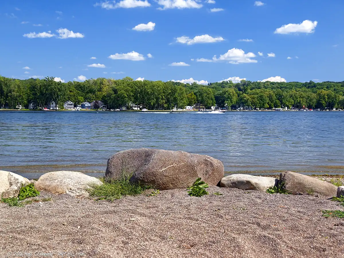
With the Seneca name meaning “Always Beautiful,” you won’t get any arguments from the thousands of cottage owners and boaters who enjoy this Finger Lake each day. Conesus is a prime example of how recreation, development and agriculture combine to create beautiful lakefronts, making Conesus a favorite vacation destination for the neighboring Greater Rochester Area.
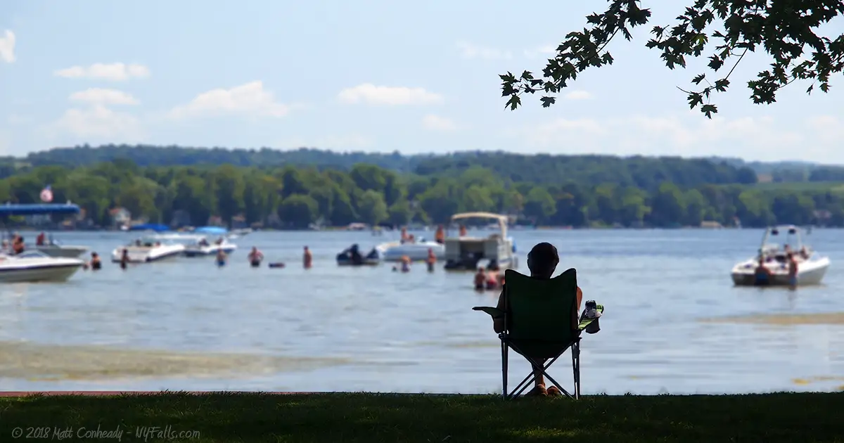
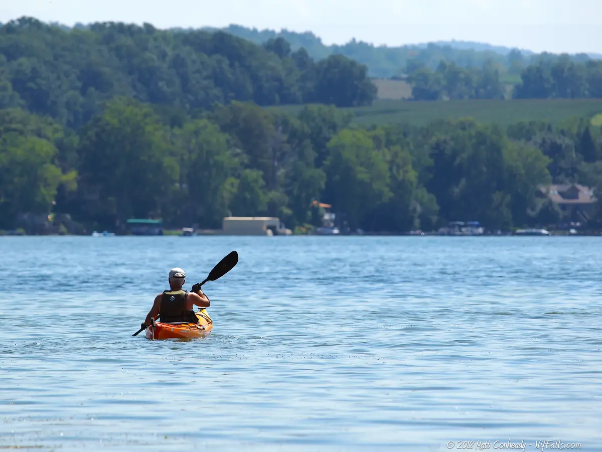
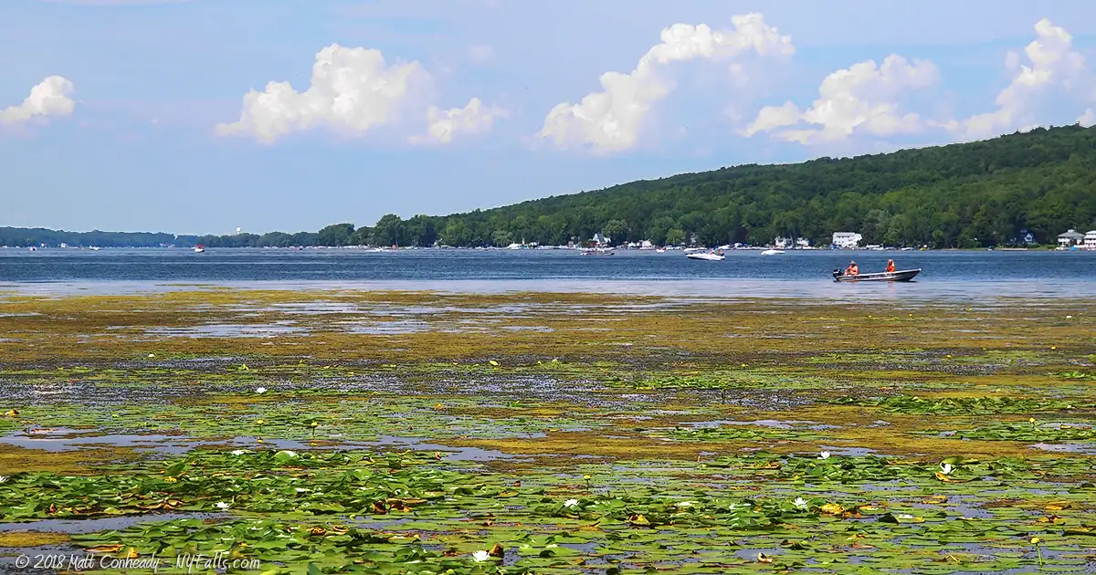
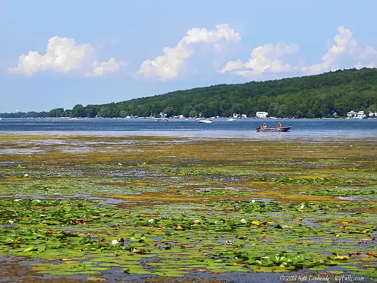
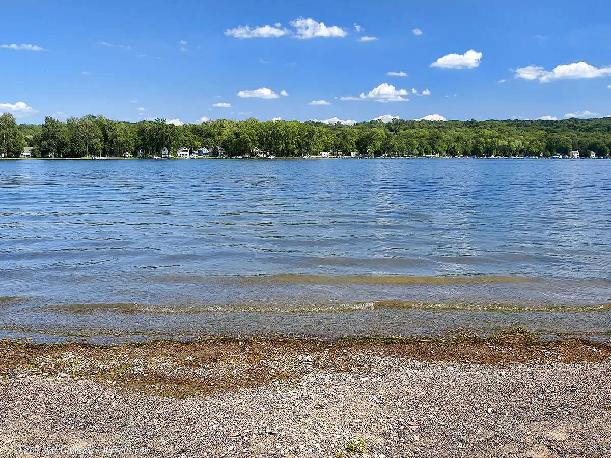
With 4 public boat launch sites and a few private marinas, watercraft speckle the lake’s blue-green waters. The lake’s relatively shallow depths cater well to swimmers, though fishing is the sport of choice, with not only a wide variety of species, but also plenty of access to prime locations.
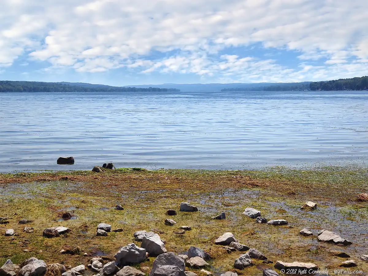
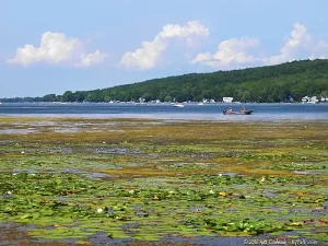
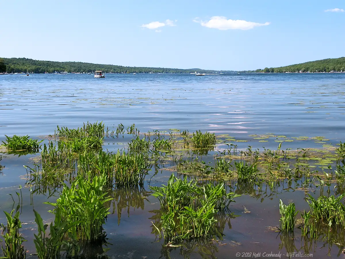
Capped on the north end with the hugely popular Vitale Park (formerly Sand Point), the east and west shores are packed tightly with cottages and year-round homes. Past the cottages is plenty of farmland, leaving little in the way of undeveloped or natural areas. It is this over-development of the Conesus Lake watershed that leads to its dwindling water quality. Nutrient-rich runoff in recent years have yielded problematic aquatic plant and algae growth far above average, especially at the northern and southern ends of the lake.
On the southern end is the 1,120 acre Conesus Inlet Fish and Wildlife Management area, a natural setting that serves many purposes. This flat floodplain with upland rolling hills keeps development away from the inlet, helping to preserve water quality, maintain fish (especially pike) spawning locations, provides an important stop-over for migrating birds and habitat for native waterfowl and protects area wildlife. It’s also an excellent fishing and hunting spot. Without this last natural area, Conesus would struggle to hold on to native species.
Although Conesus Lake has a significant number of deep gullies and waterfalls in its watershed, they seem to all be on private property.

Conesus Lake Parks / Beaches / Access Points
Vitale Park (Sand Point)
Description: The Town of Livonia hosts this well-developed and very beautiful community park at the northern end of the lake at the outlet. A recent expansion has more than doubled the land and has turned this small town park into a great stop for those passing through. Summer concerts are featured at the Gazebo on Sunday nights. The Chip Holt Nature Center provides educational programs and recreational opportunities along the lake.
Seasons/Hours: Year-round. Dawn to dusk.
Directions: North end of the lake. Just east of where Rt. 15 meets 20. Google Maps.
Best time to visit: Spring through fall.
Pets: Pets are allowed on a 6 foot leash. Proof of rabies vaccination is required, and owners must clean up after their pets. Bags and a pet waste receptacle are provided.
Admission: Free.
Parking: 40 cars.
Handicap accessibility: Yes, on paved trails and to restroom facilities.
Swimming: Not allowed.
Boat Launch: Hand launch craft only.
Accommodations: Restrooms; benches; picnic tables; playground; gardens; fishing; docks; walking trails; pavilions; grills, Nature Center. Food vendors are located up and down Rt. 20A.
Contact: Town of Livonia: 585-346-3710
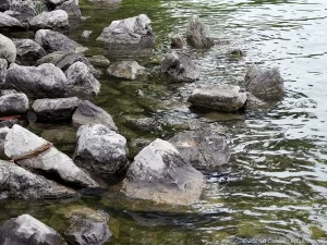
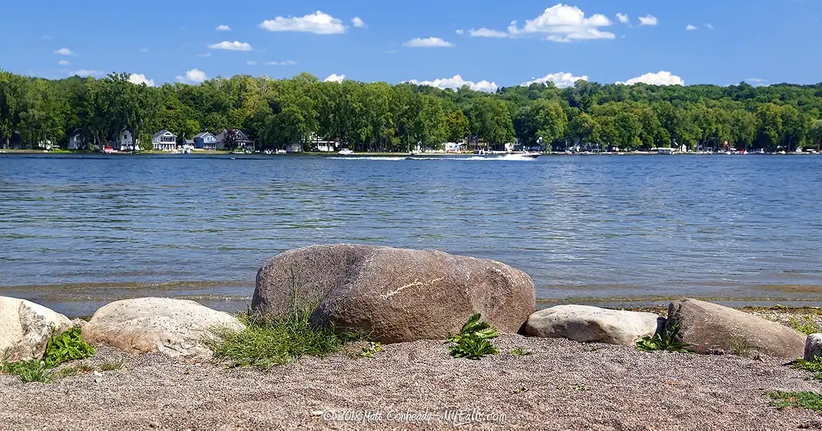
Pebble Beach State Access Site
Description: Up the Conesus outlet from Vitale Park, this isn’t really a pebble-covered beach, well – not anymore. It’s now a DEC hand and car-top boat launch site at the lake outlet. It’s also quite popular for fishing.
Seasons/Hours: Seasonal. The north end of the lake will freeze in winter. Dawn to dusk.
Directions: North end of the lake. West of Vitale Park, on Pebble Beach Rd. Google Directions.
Best time to visit: Spring through fall.
Pets: Allowed, on leash.
Admission: Free.
Parking: 30 cars
Handicap accessibility: No.
Swimming: Not allowed.
Boat Launch: Hand / car top only.
Accommodations: Fishing; food vendors are located up and down Rt. 20A.
Contact: DEC: 518-402-892; [email protected]
Conesus Lake Public Boat Launch
Description: This state facility is the only public boat launch with a concrete ramp for your trailer.
Seasons/Hours: Seasonal. The north end of the lake will freeze in winter. Dawn to dusk.
Directions: East shore. Near the village of Livonia, on East Lake Rd. Google Directions.
Best time to visit: Spring through fall.
Pets: Yes, on leash.
Admission: $6 boat launch fee.
Parking: 70 cars, 45 trailers
Handicap accessibility: Yes
Swimming: Not allowed.
Boat Launch: Trailer; car-top, hand launch.
Accommodations: Picnic tables; restrooms; pay phone; fishing; hand and trailer boat launch.
Contact: NYS Parks: 585-493-3600
Conesus Inlet Fish and Wildlife Management Area
Description: With 1,120 acres of land, spanning both flat wetland habitats and upland hills, this area is home to many fish (including pike), deer, foxes, rabbits, pheasants, waterfowl and others. The DEC has invested significantly in the area, building marshes and ponds to supplement natural areas lost to development. The saturation of species in this area is evidence of its success. Not only is this a popular fishing and trapping location, but the small trails cater well to hikers, photographers and bird enthusiasts.
Several small trails wind throughout the area, a few scenic overlooks offer a great opportunity for watching wildlife. A parking area at the north end gives great access to fishermen. A hand launch site is also available at this location. Map
Seasons/Hours: Year-round. Dawn to dusk.
Best time to visit: Summer through fall.
Directions: On the south end of the lake with parking areas on Directions to the Northern Lot, Parking for Western Trail. There are many turnoff areas alongside West and East Lake Rd.
Pets: unknown
Admission: Free.
Parking: 40+ cars
Handicap accessibility: Unknown.
Swimming: Not allowed.
Boat Launch: Hand launch.
Accommodations: Fishing; hunting; trapping; hiking; trail; permit stations.
Contact: DEC Region 8: 585-226-2466
Long Point Park
Description: Geneseo hosts this small park at Long Point. Formerly a traditional amusement park, complete with rides and games, it is now a typical community park offering an excellent view of the lake and more importantly, public swimming!
Seasons/Hours: Year-round. Dawn to dusk.
Directions: On the west shore, where West Lake Rd. intersects Long Point Rd. Google Maps.
Best time to visit: Summer.
Pets: Unknown.
Admission: Free.
Parking: 30+ cars
Handicap accessibility: Yes.
Swimming: Allowed, in season, in the guarded swimming area.
Boat Launch: Hand launch.
Accommodations: Picnic tables; grills; pavilion; restrooms.
Contact: Village of Geneseo: 585-243-0722
Dedicated to Conklin & Jeannette
Despite a tight budget, you set aside enough money so our family could rent a small cottage on the lake for a week each summer. Thank you for the wonderful memories!
-Minnie Churhorse
More Finger Lakes Guides
Explore more of New York’s Finger Lakes parks, beaches, nature trails, waterfalls and more in our handy guides.
Fishing Information
Common species
Largemouth Bass; Smallmouth Bass; Chain Pickerel; Rock Bass; Tiger Muskies; Walleyes; Yellow Perch; Bluegills; Sunfish; Pumpkinseed; Brown Bullhead; Northern Pike
Best fishing spot
Off the bridge over the outlet at Vitale Park in Lakeville.
Fishing conditions
For current fishing information a fishing hotline is available at Central New York Fishing Hotline or by calling (607) 753- 1551.
Nearby Waterfalls


Interesting Stuff
Western-most
Conesus Lake is the western-most of the Finger Lakes, but geographically and geologically speaking, Silver Lake, although far less dramatic in size, was formed along with the Finger Lakes, is much further west.
Ring of Fire
In celebration of Independence Day, the cottages and homes around the lake light up bonfires, flares and fireworks the night before (on July 3).
Who to Contact
General water concerns:
NYSDEC Bureau of Fisheries
625 Broadway Albany, NY 12233
Phone (518) 402-8920
E-mail: [email protected]
State boat launches/access
NYSDEC Region 8
6274 East Avon-Lima Road
Avon, NY 14414
Phone (585) 226-2466
E-mail: [email protected]
