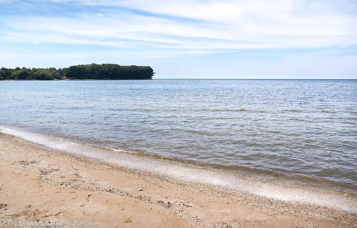
Eagle Bay Pullover



Location: On the east end of Lake Erie; off of Rt 5; west of the village of Silver Creek; Town of Sheridan; Chautauqua County; New York.
Maps: Google map; Topographic; Interactive map
GPS coordinates: Parking area off of Rt 5: N 42.53597 / W 79.22306
Directions: From Buffalo (north): Take the Buffalo Skyway (NY-5) south through Lackawana and along Lake Erie for 33 miles.
From Erie/Dunkirk (south): You can follow NY-5 (Lakeshore Rd.) east 3 miles outside of Dunkirk. The view will be on the left just past the retirement home.
Use Google Directions.
Parking: No parking. This is now on private property. View from the roadside only.
Weather
Information / Accessibility / Accommodations
2025 Update: This location is now on private property. No trespassing. No beach access. View from the road only.
This page is left up for informational purposes and a notice of the property status.
Swimming: Absolutely not allowed, and certainly not advised.

Description
2025 update: Eagle Bay Pullover (Private Property — No Public Access)
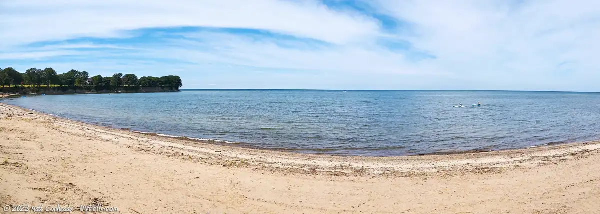
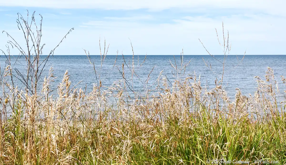
The Eagle Bay Pullover was once a little-known roadside stop along State Route 5 just west of Silver Creek, where travelers could pull over to stretch their legs and reach a narrow span of lakeshore. It was unmarked and easy to miss from the busy highway, but for a time it had a reputation as a relatively quiet place to beachcomb, fish, and take in the Lake Erie shoreline.
Today, this location is no longer publicly accessible. The shoreline here is private property, and visitors should not enter or attempt to access the beach. If you’re passing through, the area can only be viewed from the road—please respect posted signage and property boundaries.
Historical note (site conditions observed in 2013)
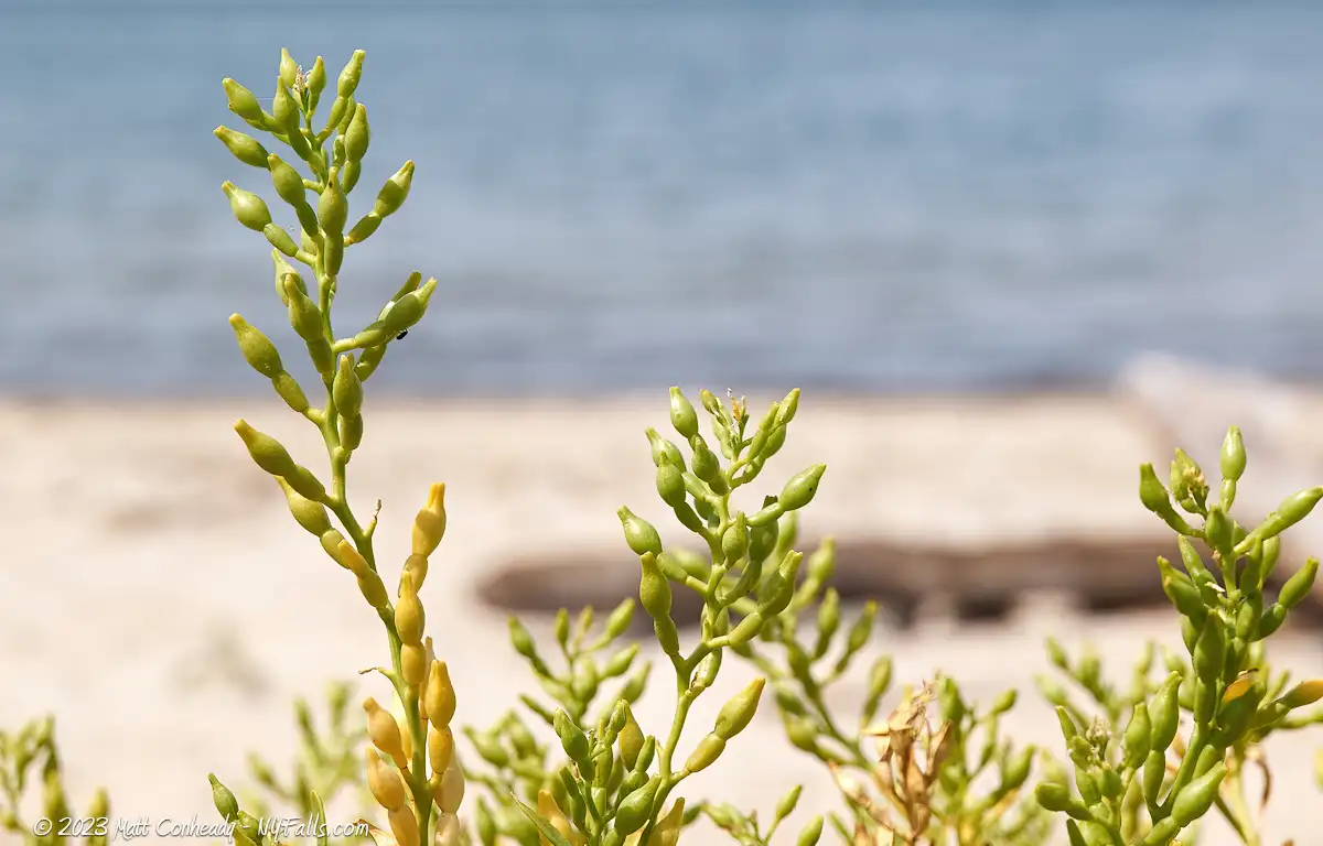
When we visited in the summer of 2013, the beach itself was in rough shape: thick algae, a strong odor, and conditions that made staying very long unpleasant. While we were curious about the hardy lakeshore plants growing in the sand and saw a few others briefly stopping along the route, the water quality issues were hard to ignore.
More broadly, 2013 was a difficult year for Great Lakes shoreline conditions in many areas, with heavy rainfall and stormwater contributing to overflow events and polluted runoff. Sheltered inlets can also trap and concentrate waterborne debris and algae when the main lake currents move past. Whatever the contributing factors at the time, the takeaway now is simple: this spot is not a public beach anymore, and access is not permitted.
History
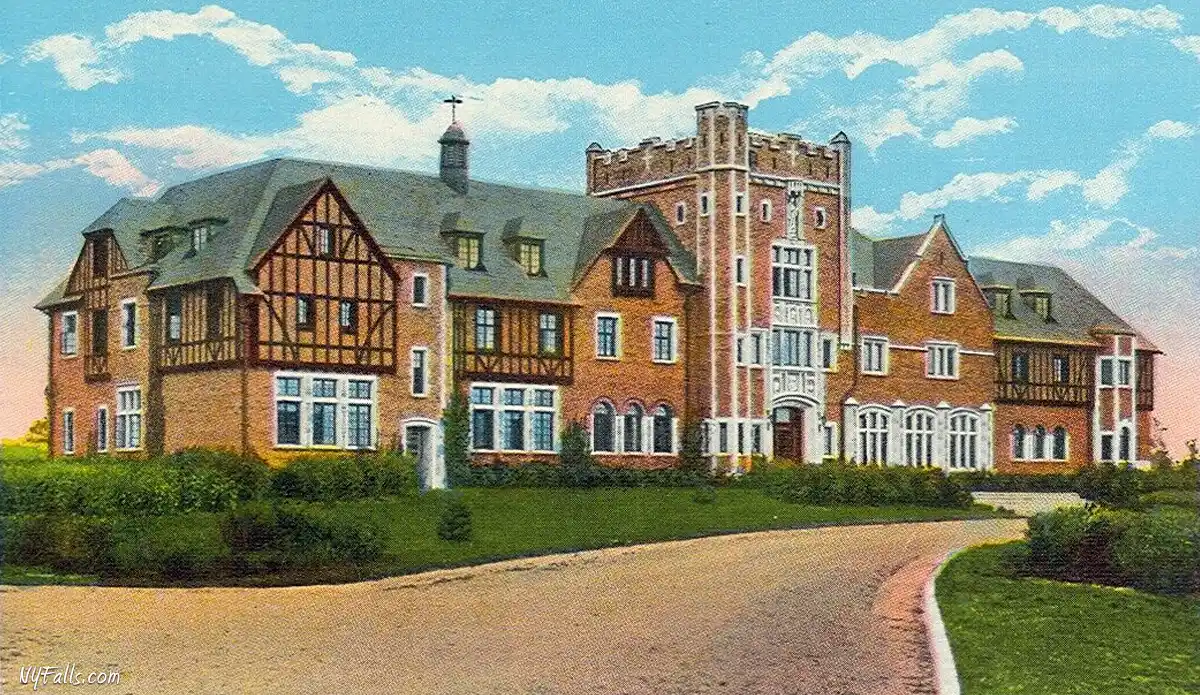
On the west of the bay is Fletcher Point, home to the Saint Columban’s on the Lake Retirement Home, a beautiful facility built in 1926 by the Columban Fathers of Silver Creek. It first opened as a junior seminary to prepare area boys for priesthood, but enrollment had declined by the late 1960s and the seminary closed. Ownership was transferred to the Columban Sisters, who opened it as a retirement home on May 1, 1970.
The English Tudor/Gothic building has over 50 rooms with a large residents’ lounge, formerly the chapel, and the “Chinese room” which now serves as a living room. The Chinese Room was originally a study furnished and decorated in 1926 with items brought back from Columban Father missions in China. The organization was originally founded in December, 1917 as the Maynooth Mission to China, in an effort to spread the word of the Gospel and help fight poverty in China.
Flooding in the 1960s threatened the land at the point, as well as the water treatment building on the shore. The state DEC, under the 1946 Flood Control Act, built cement octagonal structures and piled large stones along the shore in May of 1970, to prevent further erosion. They are visible from the beach on the west (private property) and from satellite.

Hiking / Walking Trails
Private Property. There are no walking trails here.
Eagle Bay and Fletcher Point Interactive Map
Fishing
Private Property. No fishing is allowed here.
Interesting Stuff
New York State Route 5
Beginning at the Pennsylvania state line in the town of Ripley, State Route 5 spans 370 miles west to east across New York, passing through Buffalo, Syracuse, Utica, and Schenectady, ending up in Albany. Along the way it overlaps with State Route 20, leading to the common name of both routes as simply “5 & 20.” Several small towns and cities, as well as countless curiosities, eateries, and historic sites can be experienced along its path.
Photography Tips
Sunsets
- Sunsets happen well to the west. The best vantage point is from the beach on the west.
Driftwood and trash
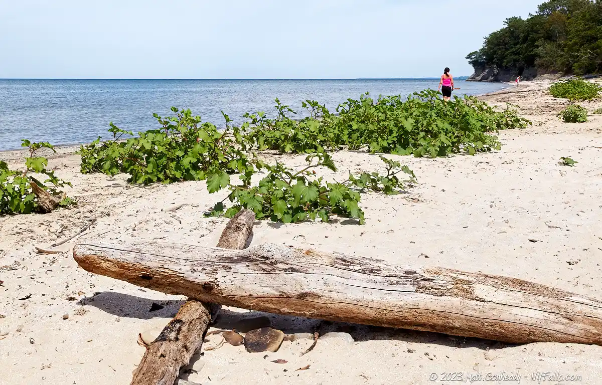
- This beach is undeveloped and not maintained. Anything that lands here stays here until the waves pick it up again. If you are looking for beach scenes that include driftwood, bits of plastic and smoothed out chuncks of glass and brick, this may be the place for you.
More tips
- See the Articles and Message Board sections for more photography tips.

Nearby Waterfalls



More Lake Erie Parks & Beaches
Find a new summer hangout spot or place to swim in our comprehensive guide to Lake Erie Parks and Beaches in New York State.
Who to Contact
For this site, contact information is not available.