Oriskany Falls
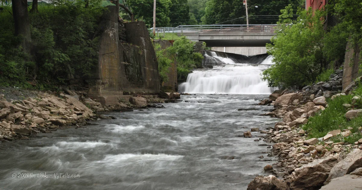
Location: In the village of Oriskany Falls, town of Augusta, Oneida County, New York.
Maps: Google map; Topographic; Interactive map.
GPS Coordinates:
- Oriskany Falls: N 42.93902 / W 75.46148
- Man-made dam: N 42.93859 / W 75.46021
Directions: From the Thruway: Take exit 32A (Westmoreland) and head south on NY-233 for about 6.5 miles. Turn right (west) on NY-5 (Main Rd.) and follow it for about 4 miles. Turn left on NY-12B and follow that south for 7 miles to the village of Oriskany Falls. Turn left on Madison St. then left on Broad St., then turn right on Cassety St.
From US-20: Turn north onto NY-26 and follow that to the village Of Oriskany Falls. Make a right onto Broad Street then a right onto Cassety St.
Or use Google Directions.
Parking: Roadside parking on Cassety St past the bridge. Room for several cars.
Weather
Information / Accessibility / Accommodations
Number of falls: 2.
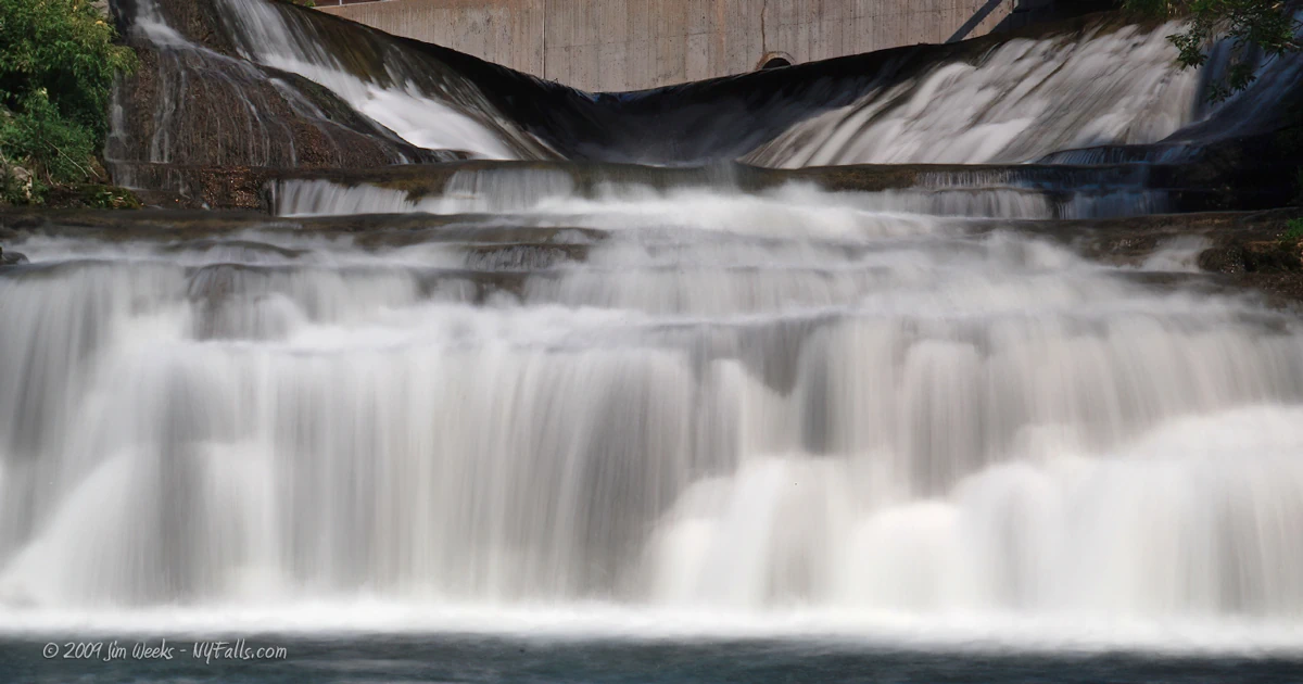
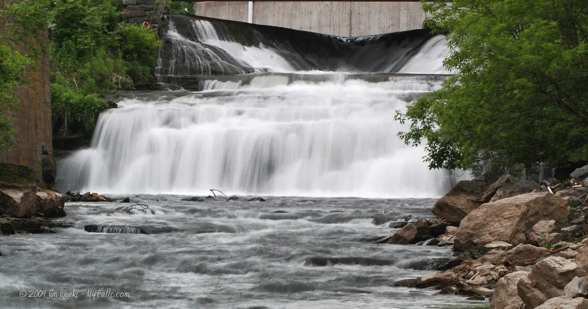
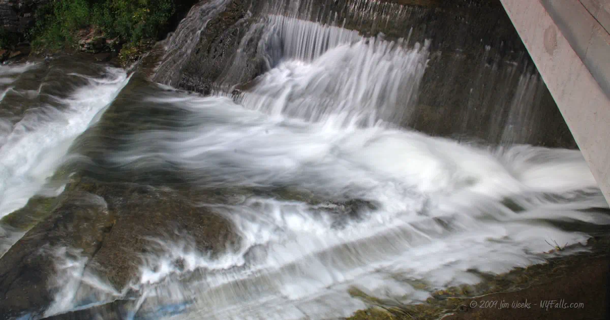
Size/Types: Oriskany Falls is a natural cascade topped with a man-made V-shaped dam, totaling nearly 20 ft. Downstream is another man-made dam which is about 6 ft in height.
Best time to visit: Year-round.
Flow: Moderate.
Waterway: Oriskany Creek, which travels north for 18 miles and empties into the Mohawk River at Oriskany, NY.
Time: A few minutes for each falls.
Seasons/Hours: All day/night; year-round.
Admission: Free.
Handicap accessibility: Yes.
Pets: Pets allowed when on leash. Carry proof of inoculation.
Accommodations: Fishing access.
Description
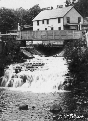
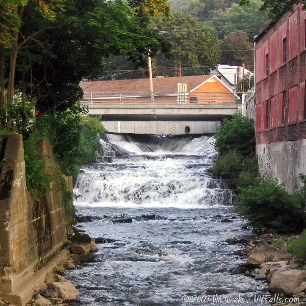
Oriskany Creek passes under Madison St and over a V-shaped dam that tops Oriskany Falls. The water then tumbles over a gradual cascade of about 15 ft in the limestone-lined creek bed below. Below the falls to the left are the remnants of an old rail trestle, the victim of a massive flood in 1917.
Downstream from the Cassety St Bridge is another man-made dam roughly 6 ft in height.
History
The town of Augusta is located in the southwest corner of Oneida County and covers about 27 square miles. It consists of Oriskany Falls, Augusta, and Knoxboro. Augusta and Knoxboro center around the Sconondoa Creek, which in turn flows northward into the Oneida River drainage basin. Augusta and Knoxboro flourished until the First World War. Knoxboro was the site of a brewery, lock company, creamery and a pea canning company. Hops used in the brewing of beer was the major cash crop until 1911 when a mold developed in the hops crop, necessitating sulfur treatment for the soil and making hop growing quite expensive. Hops were soon phased out as a local agricultural crop. While local industries have long since disappeared in the hamlets, the town economy is presently based on relatively specialized prosperous dairy farms and cash crops, such as corn.
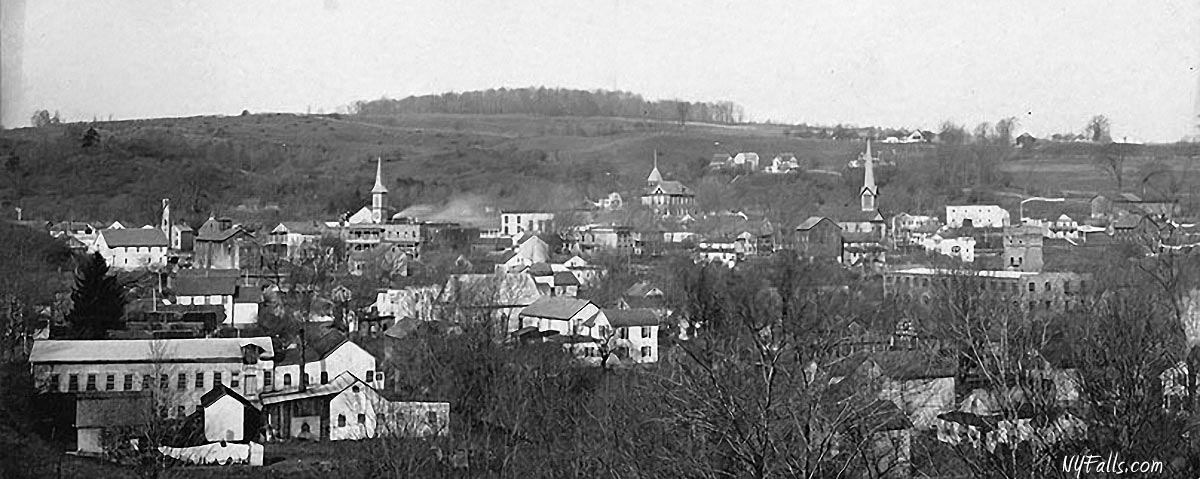
The village of Oriskany Falls, which was formerly named Cassety Hollow in 1794 by the colonel Cassety, is located in a steep, narrow valley defined by three hills. The village developed in the valley and on the adjoining hillsides near the site of the waterfalls of the Oriskany Creek; hence the name Oriskany Falls. The swift running water over the falls was the source of power in those early days. The Chenango Canal ran through the village from 1837 to 1878 and played an important role in the development of the village. At one time Oriskany Falls was the busiest village between Utica and Binghamton. They had textile mills, flour and grist mills, foundries, machine, blacksmith, wagon and cooper shops, a stone quarry, distillery, brewery, livery stables, a railroad and station, saloons, printing establishments, cabin and furniture makers, undertakers, cigar manufacturers, carpenters, doctors, dentists, druggists, teachers, barber and tailor shops, shoemakers, hotels and inns, coal dealers, newspaper publishers, and many stores to buy food and dry goods, along with churches and a school. The woolen mill is now owned by Tyco and the quarry is owned by the Hanson Company.
Thanks to the Limestone Ridge historical society for the above information. Above photo: 1935.
Hiking / Walking Trails
To see Oriskany Falls and the dam
Difficulty: Easy.
Markings: None.
Distance: Less than 100 ft.
Description: Walk from the parking area to the Cassety St bridge to see the falls to the west. There is a man-made dam downstream. The best way to view it is to go west on Cassety St and turn down on Cooper St. Near a small building is a gassy area to view the dam from.
Map: Interactive.
Oriskany Falls Interactive Map
Oriskany Falls Media
Interesting Stuff
Chenango Canal
The Chenango Canal was constructed in the 1830s and served as a bridge between the Erie Canal and the Susquehanna River–essentially linking New York to Pennsylvania. Although the canal played an essential role in the development of many central New York settlements, including Oriskany Falls, it was not a financial success for the state. By 1878 the railroad was the preferred transportation method and the canal was closed. Sections were dismantled and towpaths abandoned or turned into roads. The canal’s rich history, and surviving sections, can be explored all over this region. At the lock 76 aqueduct there is a small man-made waterfall. Click here for more information about the canal.
Photography Tips
Silky Water Effect
- To get that smooth cotton-candy look to the falls, you need to use a Neutral Density (ND) filter on your lens. The ND filter will block some of the light from entering the lens without altering the color, and thus allow your shutter to stay open longer. This blurs the water and creates a soft white gloss to the foamy areas of the falls. Check out the article for the all the details.
More tips
- See the Articles for more photography tips.
Who to Contact
Oriskany Falls Village Hall
185 North Main Street
Oriskany Falls, NY 13425
Phone: (315) 821-7275
[email protected]
villageoforiskanyfalls.org


