Densmore Falls
Location: Northeast of Rochester in the Town of Irondequoit, Monroe County, New York.
Maps: Google Map; Topographic; Interactive.
GPS: Densmore Falls: N 43.19037 /W 77.54924
Directions: Take I-590 north and get off at exit 9. Head west (right) on Norton St and look to the right for Cranberry Landing Dr, which is the entranceway to the “Legacy at Cranberry Landing” senior living complex.
Use Google Directions.
Parking: You have two options for parking.1: park in the middle school lot off of Densmore Rd, north of the bridge over Densmore Creek. Obviously you should not park here during school hours. 2: Park in the Legacy at Cranberry Landing lot, farther in the back of the complex at the end of the entrance road. Do not interfere with any operations—this is a private lot.
Weather
Information / Accessibility / Accommodations
Number of falls: 1.
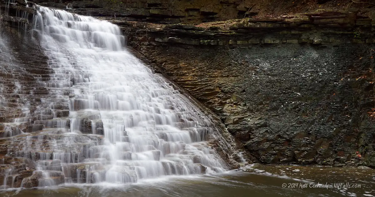
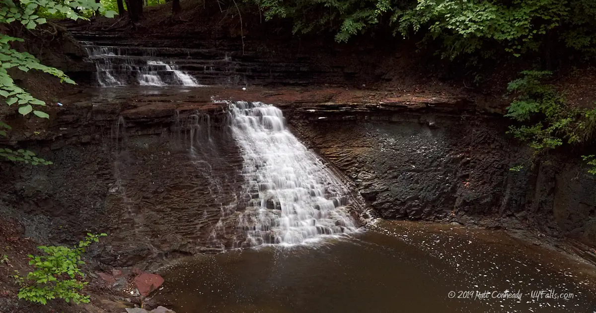
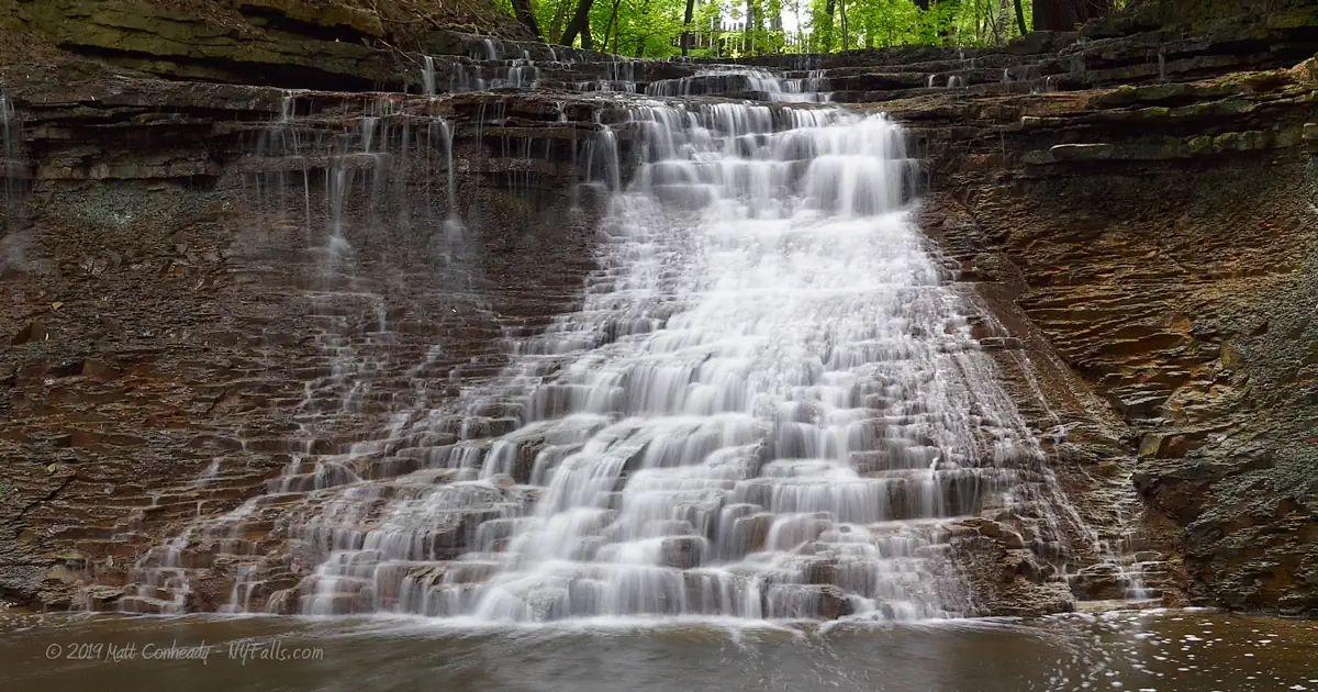
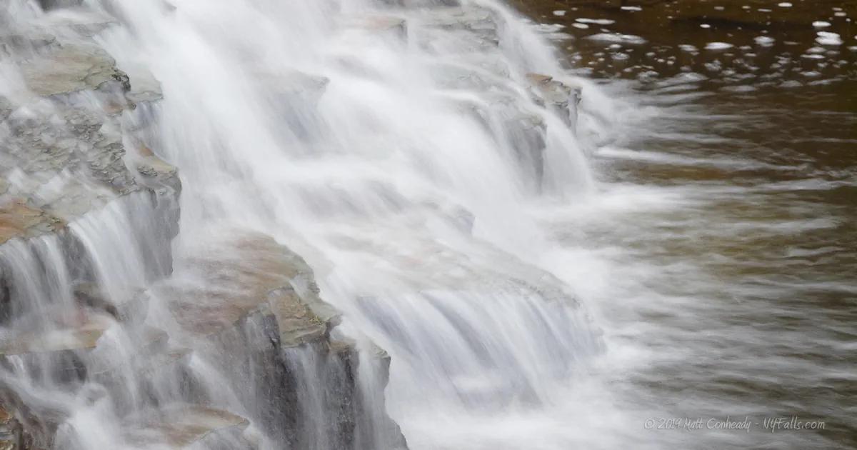
Size/Types: A 15 ft cascade over shale and several smaller drops that total roughly 10 ft themselves.
Best time to visit: Spring, and after heavy rain.
Flow: Low.
Waterway: Densmore Creek, a tributary to Irondequoit Bay and Lake Ontario.
Time: 15 minutes or so to get to the base of the falls
Seasons/Hours: Year-round. Daylight hours.
Admission: No fees.
Handicap accessibility: No.
Pets: Unknown.
Swimming: None.
Accommodations: None.
Description
Densmore Creek begins northeast of the city of Rochester and flows through the highly developed town of Irondequoit and eventually empties into Irondequoit Bay. Passing through such a densely populated area, the creek picks up quite a bit of chemical fertilizers and pesticides, among other contaminants. The water here is not crystal clear, but this small glen remains a beautiful hidden treasure in the seemingly least likely of places.
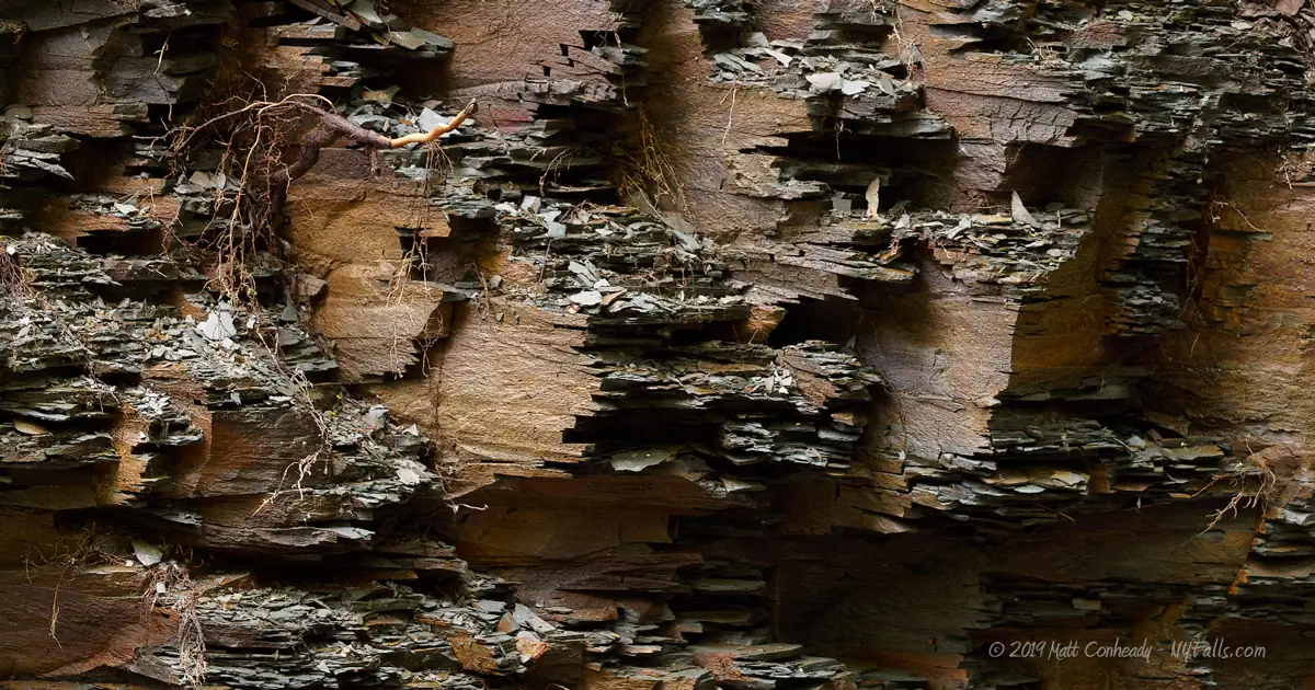
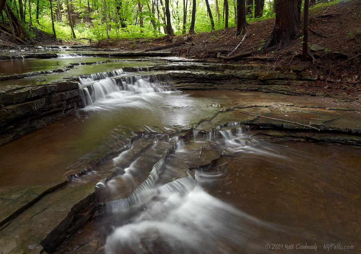
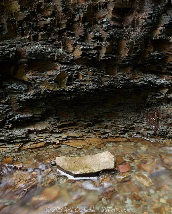
In Densmore Glen, the creek drops down several small ledges, totaling no more than 10 feet in height, just before it reaches Densmore Falls. The falls, nearly 15 feet high, is a classic cascade over a large block of jagged shale, sandwiched between Maplewood Shale and Medina Sandstone. The Medina layer, which contains high amounts of iron oxides, gives the soil in this area a reddish tint.
The glen is littered with rusting car parts, empty cans and various other odd pieces of trash, many of which seem to have been dumped decades ago. The creek bottom is a bit slimy at times and the water takes on a reddish tint due to the large concentrations of iron in the bedrock, but it certainly does not detract much from the picturesque beauty of this place.

History
Early settlement in the Irondequoit region was slow, primarily due to the vast swampland that plagued this region and festered disease. Pioneers eventually drained the land and were able to settle and plant crops. Abel Densmore (often spelled Dinsmore) bought a tract of land alongside the creek, and became one of the area’s first farmers, constructing the first barn. He was elected as the first trustee of the towns first school, constructed in 1814.
The town of Irondequoit was founded in 1839 and with its vast lakefront and calm bay, the rail and trolley lines brought people by the thousands to its numerous waterfront resorts.
I am not sure what stood on the Densmore Falls site. If you have any information, please contact me.
Hiking / Walking Trails
Difficulty: Easy.
Markings: None.
Distance: Less than 100 feet from the retirement complex parking lot to the falls.
From the Densmore Rd bridge, follow the trail to the east. It runs along the south side of the creek. You may have to creek-walk briefly to avoid posted land. The crest of the falls is no more than 500 feet from the bridge.
Scramble along the southern sides to get to the base. If you are coming from the adjacent retirement community or apartment complex, trails cut through the brush from the rear lots and connect to the trail that leads to the falls.
Map: Interactive.


Densmore Falls Interactive Map
Densmore Falls Media
Coming soon…
Interesting Stuff
Seabreeze Amusement Park
Experience a classic American lakeside amusement park at Seabreeze. The park opened in August of 1879 and is now the fourth oldest operating amusement park in the United States. In 1920, the Jack Rabbit wooden roller coaster opened as the fastest coaster in the world, and still operates today (as the second oldest coaster in the US).
Paddle Irondequoit Creek and the Bay
Visit BayCreek Paddling on Empire Blvd for kayak and canoe rentals, lessons, tours and more.
Photography Tips
Shoot wide
- Photograph the falls from above on the trail, or from the base. There are water quality concerns here, so try to avoid wading in it.
- Try to include the jagged cliff walls in your shot.
Overcast skies
- Daylight will cast uneven shadows through the canopy and cause sunspots in your shots. It is best to wait for an overcast sky for this one.
Silky Water Effect
- To get that smooth cotton-candy look to the falls, you need to use a Neutral Density (ND) filter on your lens. The ND filter will block some of the light from entering the lens without altering the color, and thus allow your shutter to stay open longer. This blurs the water and creates a soft white gloss to the foamy areas of the falls. Check out the article for the all the details.
More tips
- See the Articles for more photography tips.
Who to Contact
Irondequoit Town Hall
1280 Titus Avenue
Rochester, New York 14617
Phone: (585)-467-8840
Website


