Buffalo Harbor State Park


Location: On the northeast end of Lake Erie; within the Buffalo Outer Harbor; City of Buffalo; Erie County; New York.
Maps: Google map; Topographic; Interactive map
GPS Coordinates:
- North entrance: N 42.85269 / W 78.86469
- Main entrance: N 42.84597 / W 78.86199
- South entrance: N 42.84094 / W 78.85869
- Pier: N 42.84287 / W 78.86046
Directions: From Buffalo (north): Take the Buffalo Skyway (NY-5) south to Outer Harbor Drive/Fuhrmann Blvd. Head south about a mile on Fuhrmann. Three entrances are along Fuhrmann (on the right as you go south). We recommend the second (middle) one.
From Erie/Dunkirk (south): You can follow NY-5 (Lakeshore Rd.) north into Buffalo and straight to the Outer Harbor. This park is just north of Lackawanna. Three entrances are along Fuhrmann (on the left as you go north). We recommend the second (middle) one.
Use Google Maps.
Parking: Roadside parking is available up and down Fuhrmann Blvd, but this park has ample parking for cars and trailers. Any entrance along Fuhrmann will get you to a parking lot. Parking is free, unless you are launching a boat.
Weather
Information / Accessibility / Accommodations
Seasons/Hours: The harbor is open from mid-May to mid-October, although you may be able to stop in anytime throughout the year and walk the paths. It’s open daylight hours.
Admission: Free. $8 if you are using the boat launch.
Best time to visit: Summer.
Time: A walk from the marina at the restaurant to the other side of Gallagher Beach will take about 40 minutes at best. Bring binoculars for ship or bird-watching, a picnic lunch, and plan to walk through adjacent 264-acre Tifft Nature Preserve and you’ll spend several hours.
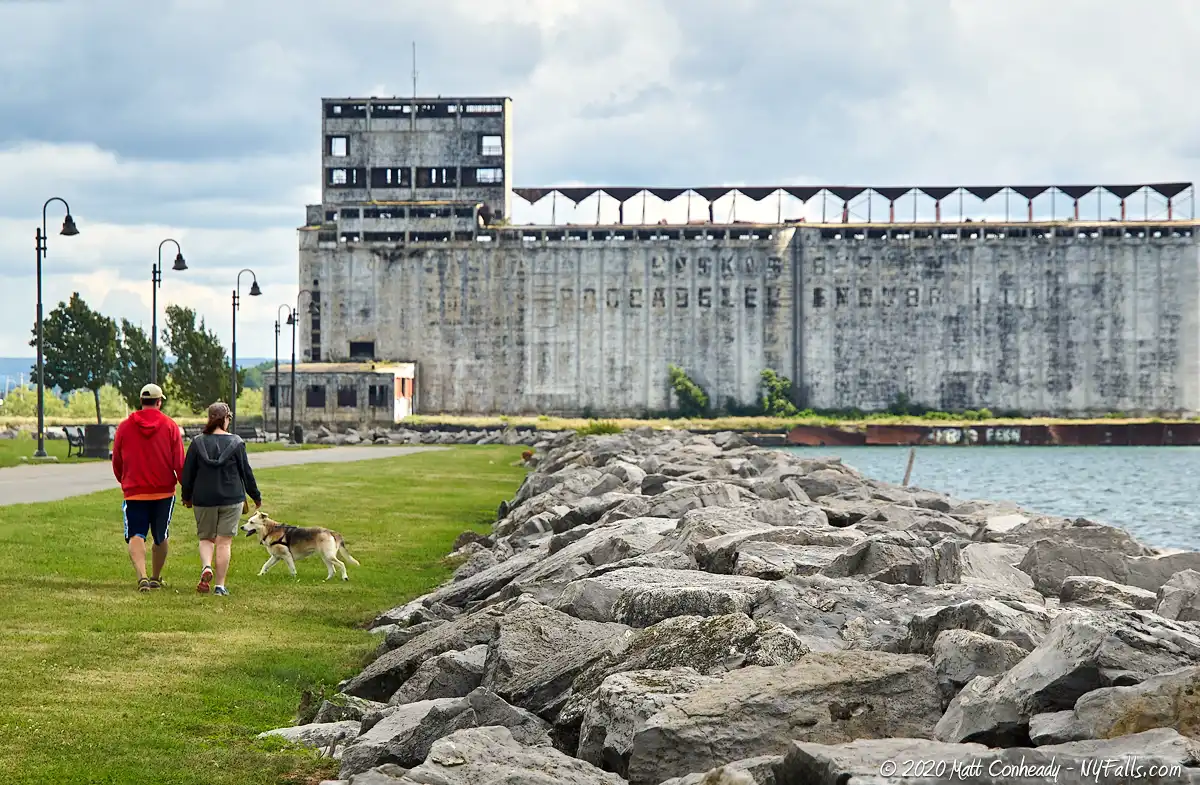
Handicap accessibility: Yes, the path around the harbor is paved. The beach is not accessible, but the pier is.
Pets: Allowed if kept on a leash, which is the law in Buffalo. Bring bags to clean up after. Not allowed on playgrounds, buildings, and boardwalks.
Swimming: Not allowed (but this may change in the future).
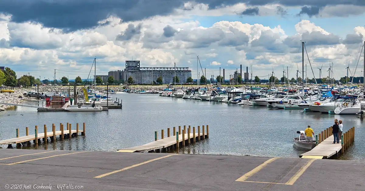
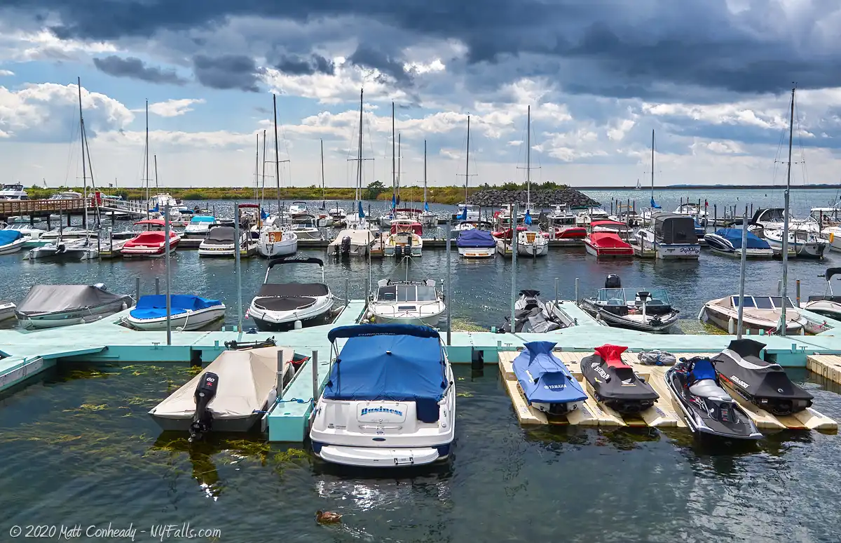
Boat launch: The harbor has 2 concrete ramps in the north end/marina area, and can handle up to 6 simultaneous launches. Near the beach is a concrete ramp specifically for launching personal watercraft.
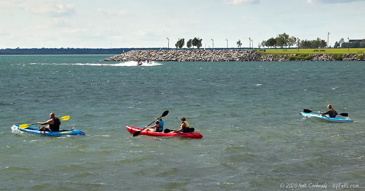
Accommodations: Walking trails; full service marina with 1,005 slips; visitor slips; boat ramps; kayak rentals; personal and hand watercraft launching; ship shop; pavilions; snack shop; restaurant; ice cream; restrooms; showers; bait shop; fish cleaning station; personal watercraft dock; picnic tables; bicycling paths; bird watching; benches.
Description
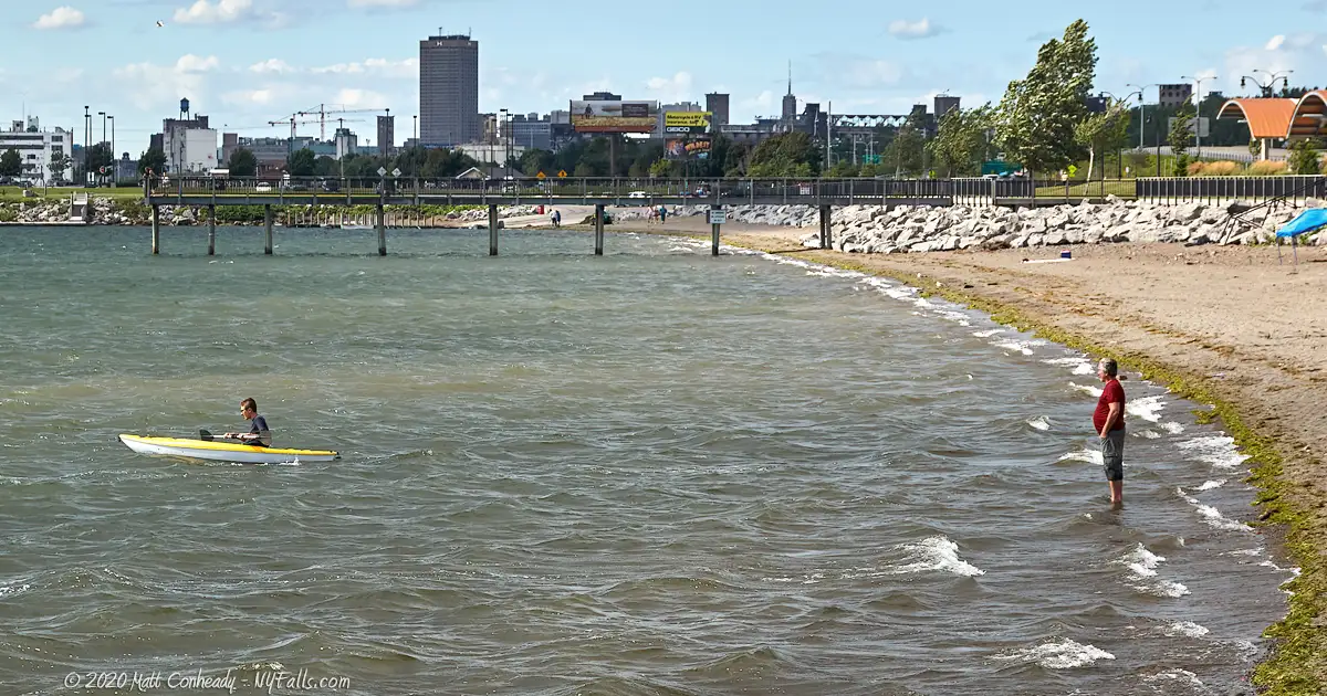
Buffalo Harbor State Park is the newest State Park (as of this writing in 2019). Formally called “NFTA Boat Harbor and Gallagher Beach” is the largest fully-equipped small boat harbor in New York State. Not only does it cater to recreational boaters and fisherman, it is a wonderful family park for picnicking, kayaking, flying kites, and combined with the adjacent Tifft Nature Preserve, a beautiful way to spend a day outdoors.
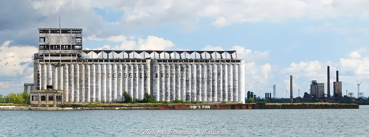
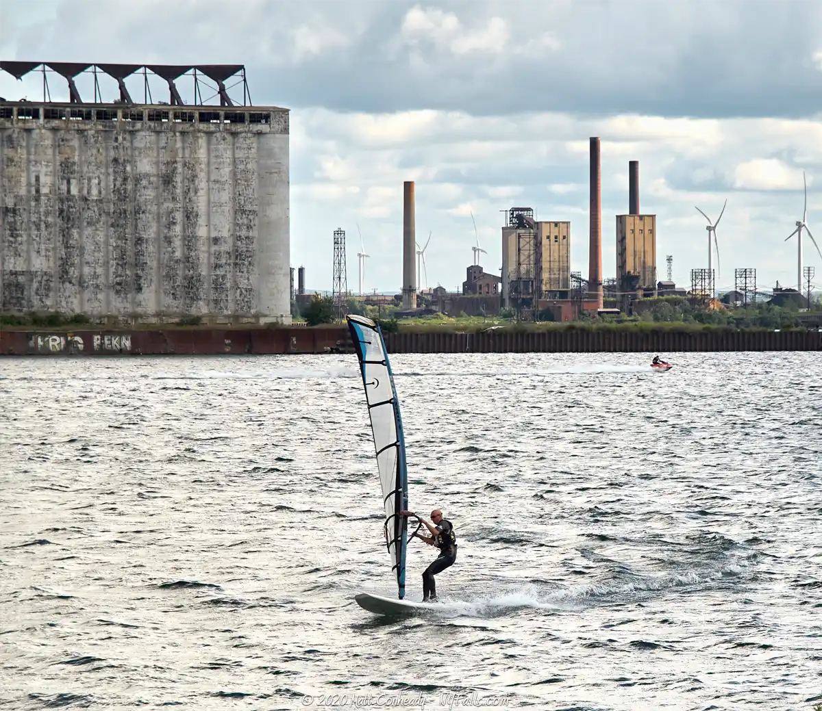
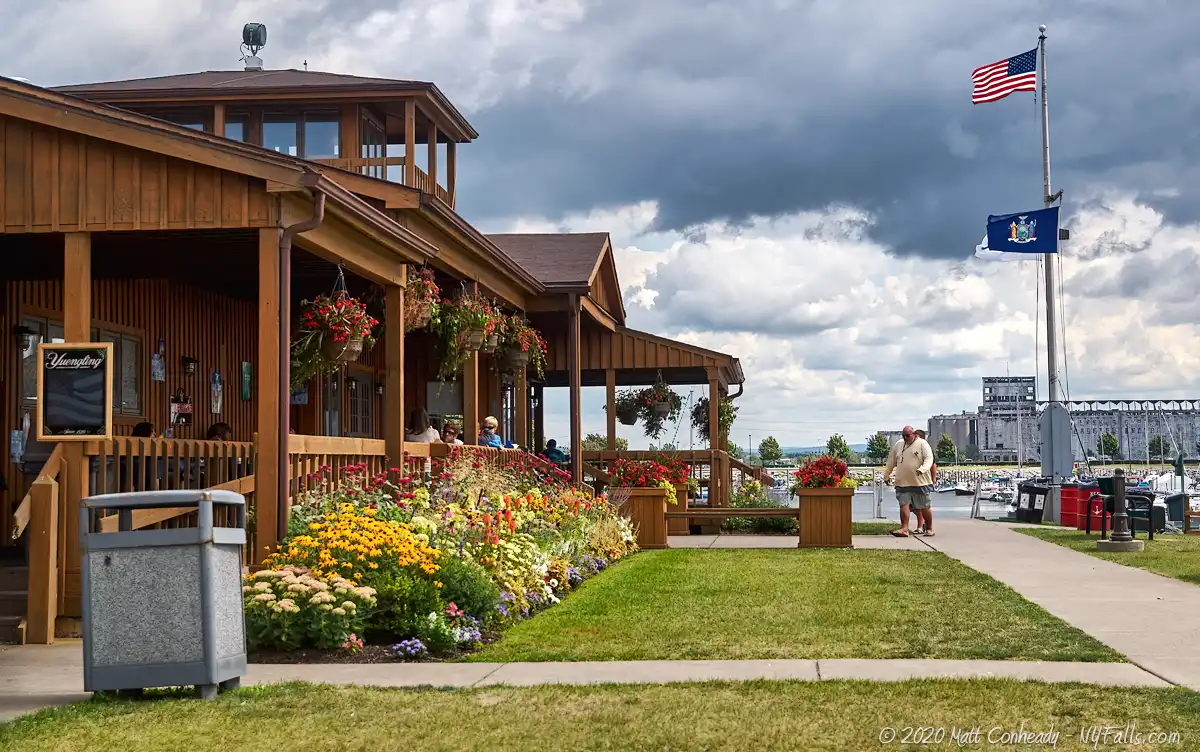
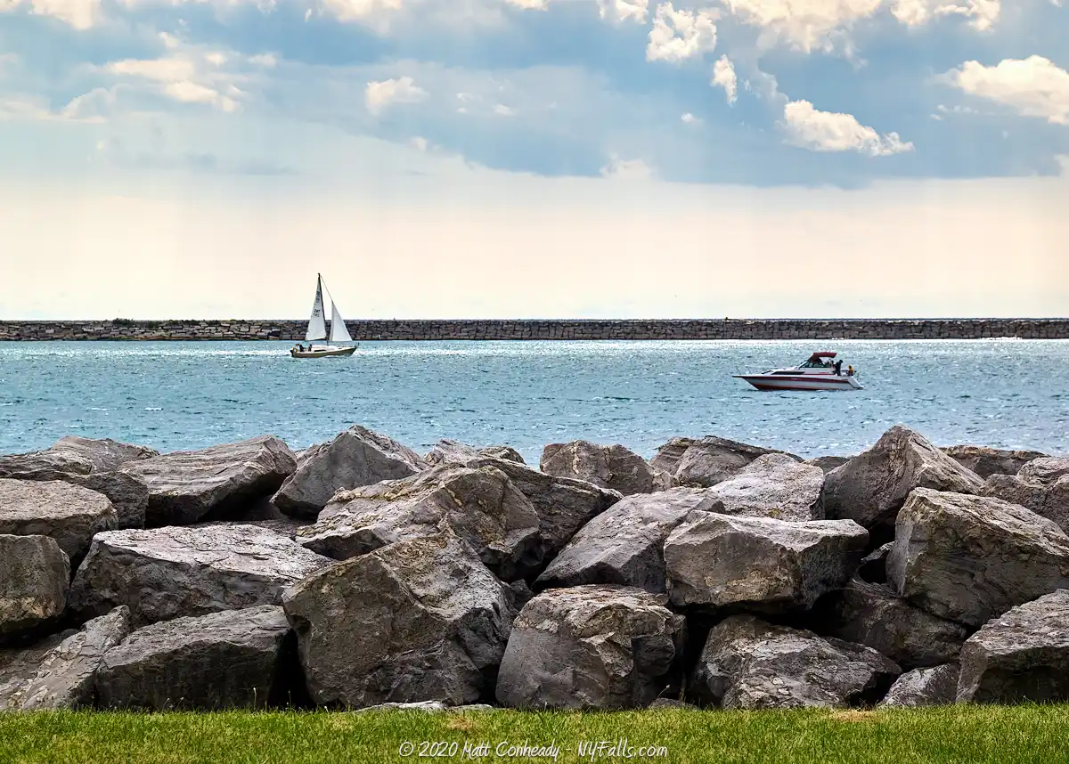
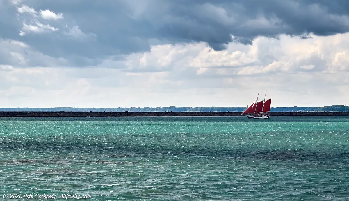
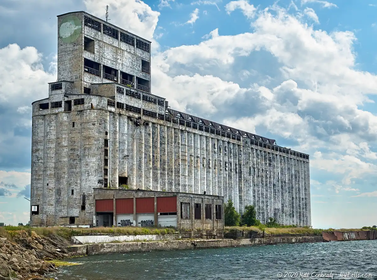
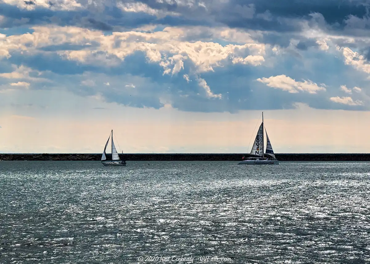
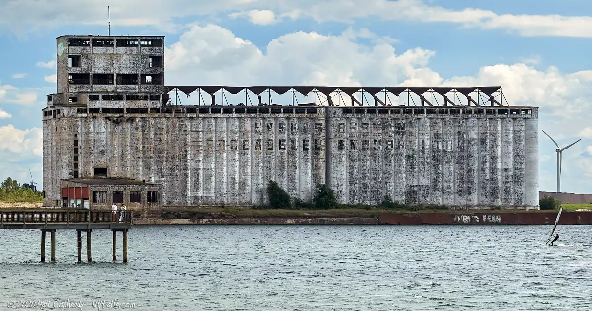
The large harbor and numerous launches bring in boaters from all over Western New York. Bandwidth is so great that there simply is no wait to get your craft into the water. And with a dedicated personal watercraft launch, and a really nice beach for launching canoes and kayaks, it is Buffalo’s premier spot for getting into the water; that is if you have something to float in. Unfortunately, Gallagher Beach, which makes up the southern end of the park, and is set against the backdrop of a rusted Cargill Grain elevator is closed to swimmers, making this park less favorable on hot summer days than the nearby sandy Woodlawn Beach and its party-like atmosphere. This park, nonetheless, does have wonderful sights to behold. There are beautiful views looking out over Lake Erie and the breakwater walls as ships pass by. Watching ships dock, jet skis zoom by, and recreational fisherman unload their catches and pose for photos, is definitely a fun time. A nice touch is the restaurant, on the north end. Dug’s Dive is a cool family-style restaurant that serves great local food for a decent price. They also have ice cream, and taking a cone with you around the park just enhances the experience.
The Harbor park is so popular that the State of New York recently acquired the 348-acre, 1,005-slip facility to improve and run it as a state park. Currently, the park is dominated by boating and jet ski traffic, but the state has plans to improve upon the picnic and family-friendly activities. In 2023, the old wood pier was replaced by a modern one designed by TWMLA.
History
The first inhabitants of the eastern Erie shoreline were Native Americans, with the Seneca tribe of the Iroquois Confederacy controlling this “western door” of their territory. In 1797 the Holland Land Company purchased much of Western New York from the Seneca, and that block of land was divided and resold, with plans for the Village of Buffalo as a port city beginning as early as 1801. An 1805 act of Congress created the port at Buffalo, which initiated a long history of development along the Erie and Niagara shoreline. Little of what exists today is an original feature of the lake, but one thing we do know, is that much of this shoreline was originally a wetland and a critical stopover for migratory birds as they journeyed across the Great Lakes.
Buffalo’s Outer Harbor changed drastically while improvements to the Inner Harbor were made as the Erie Canal became the centerpiece of eastward shipping. The Buffalo River often filled with sediments making navigation in and out of it difficult. The river outlet was dredged and the south seawall was built in 1867. It prevented sand and mud from building up in the river, and instead it built up along the seawall, creating a beach. This new strip of land became a shanty-town known as “Seawall Beach”, inhabited by Irish and other immigrant port workers and their families. Records show it was a rowdy and nearly lawless neighborhood, with harsh living conditions and high death rates due to storm surges.The city was eager to get rid of it. With the Outer Harbor developing along with Buffalo’s growing shipping and grain industries, the shanty-town was dismantled and the space utilized for industry. A rail line was built along the sandbar in the 1920s to service grain elevators and docked ships along the seawall.
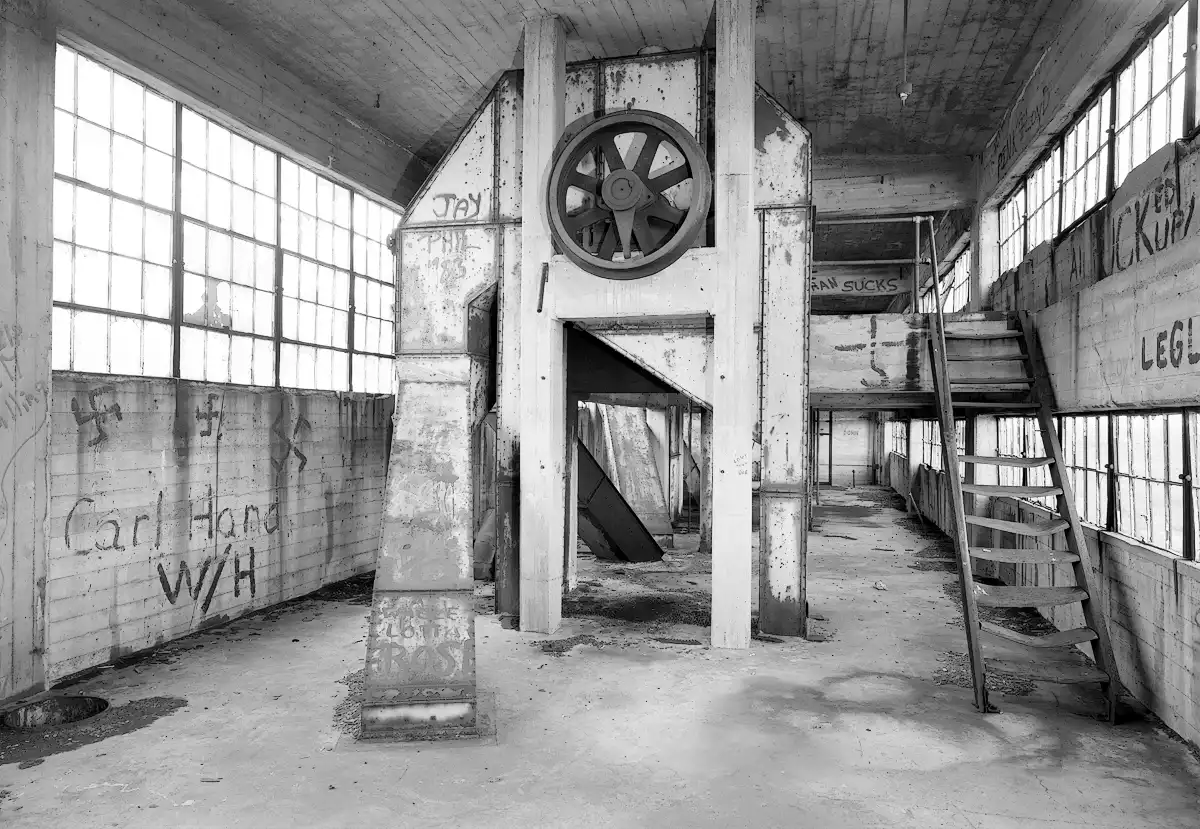
Although most of what is on the west side of Fuhrmann Blvd is sand deposits and landfill, to the east, where the Tifft Nature Preserve is, was originally the Tifft Dairy Farm. As the waterfront developed it became a hub for iron ore distribution and this harbor played a large role in the iron industry across the Great Lakes. The Cargill Pool Elevator / Saskatchewan Cooperative Elevator, built in 1925, used the adjacent slip, to transport grain and cereals. Being on the lake itself enabled the elevator to load large and deep vessels. Once the iron industry collapsed, the site was abandoned, and beginning in the 1950s it was used as a municipal waste dump for the city until the 1960s when it was abandoned. The city took interest in purchasing the site in 1972 to use it as a municipal landfill, but public pressure at the dawn of the environmental movement squashed those plans. In 1976, the landfill was capped and sealed and landscaping had begun to turn it into a nature preserve. Around 1995, the Niagara Frontier Transportation Authority took over control of some properties along the Outer Harbor, including this one, and began constructing the marina and park. Improvements were made to Gallagher Beach in 1998. In 2011, a pavilion was added along the bike path behind the beach.
In the Summer of 2013, New York State purchased the harbor to turn it into a state-run park. The Cargill elevator was demolished and turned into a parking area.
Hiking / Walking Trails
Our recommended walk
Difficulty: Easy. Just watch out for motor and cyclist traffic at some points.
Distance: We recommend walking along the pedestrian path and boardwalk, avoiding the bike paths and busy roadways. This is a 1.33 mile path; longer once you loop it back to where you parked.
Markings: Just follow the paved walkways and boardwalk along the lake. Check the map below.
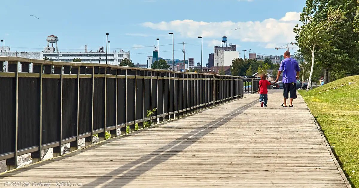
Description: Our recommended walk has you starting near the restaurant and marina at the north end of the park. This works well if you want to start with a nice lunch, or grab an ice cream cone and take it with you. Head towards the marina and just follow the boardwalk south. Just past the restaurant you will move to pavement and have to cross the first boat ramp. Watch out for trucks and trailers backing up.
Continue on the paved walkway (outlined in white lines) and along the water and cross the second boat ramp. Continue south and you will approach the fish cleaning station/restrooms. The path turns right and will head further out along the lake. Unfortunately, you cannot cross out into the breakwater that shields the marina. If you do, security will come get you. Continue along the pathway as it loops back inland. Here is the third boat launch, specifically for jet skis. Follow the boardwalk close to the water, not the bike path further inland. There’s a pier midway down which is a great place for photos. There are a few ways to get down to the beach along the boardwalk. The trail ends at the other side of the beach, just before the old grain elevator. Walk back the way you came to get to your car.
Map: See the orange path on the interactive map.
Buffalo Harbor State Park Interactive Map
Fishing
You can fish from the new Tifft Street Pier or from the stones along Lake Erie breakwater lining the marina.

Interesting Stuff
The Outer Harbor Trail
This trail, that parallels Fuhrmann Blvd, runs over 4 miles along the Outer Harbor from Lighthouse Point Park at the Coast Guard Station to the Union Canal at Stony Point, Lackawanna. Along the way are six parks, preserves, or green spaces you can visit. Find more information on each one in our Lake Erie Parks and Beaches Guide.
Tifft Nature Preserve
Right across the street is this wonderful 264-acre refuge, operated by the Buffalo Museum of Science, as a public preserve and student education program. It was formerly a dairy farm, then an iron ore shipment center, then a city dump. Through the brownfield program is was cleaned up. It was opened at the dawn of the US environmental movement in 1976 and has since grown to be one of the most important preserves on Lake Erie. It is a great place for peaceful walks, bird-watching, learning about wetlands, and photography.
Photography Tips
Sunsets
- The eastern shore of Lake Erie is ideal for sunsets. The Buffalo waterfront is a great place to catch boats, birds and the interesting seawalls in the frame to keep those sunset photos interesting.
Industry
- To the south is the old Cargill-Pool grain elevator. It looks pretty run down, but makes for a great backdrop for photos. On the east side of Fuhrman Blvd are several other old structures from the harbor’s industrial past.
Birding
- Don’t forget that long lens. This is a decent spot for birding, but it is even better across the street at the preserve.
- During the spring and fall migrations, get here early for more bird traffic and less people traffic.
More tips
- See the Articles and Message Board sections for more photography tips.
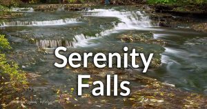
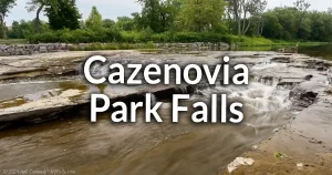
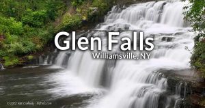
Nearby Waterfalls

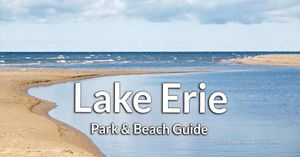
More Lake Erie Parks & Beaches
Find a new summer hangout spot or place to swim in our comprehensive guide to Lake Erie Parks and Beaches in New York State.
Who to Contact
Buffalo Harbor State Park
1111 Fuhrmann Blvd
Buffalo, NY 14203
Phone: (716) 822-1207
[email protected]
Charlie’s Boat Yard (restaurant)
Open April to October
Phone: (716) 828-1600
charliesboatyard.com
Seven Seas Sailing School
Lessons, rentals, charters
Phone: (716) 880-5154
sevenseassailing.com