Fort Niagara State Park and Historic Site
Location: The Historic Site is within the State Park. It’s located 18 miles north of Niagara Falls near Youngstown in Niagara County, New York, USA
Maps: Google Map; Topographic; State Park Map; Trail Map; Historic Site Tour.
GPS Coordinates:
- State Park entrance (south): N 43.25518 / W 79.05049
- State Park entrance (north): N 43.26457 / W 79.05264
- Historic Fort entrance: N 43.26249 / W 79.06050
Directions from the south (Niagara Falls): Take the Robert Moses State Parkway north to the State Park exit.
Directions from the east: Take the Lake Ontario State Parkway west and continue on Rt 18 to the park.
Use Google Maps.
Parking: The State Park has a massive parking lot at the end of the Robert Moses Parkway at the north end. A second lot can be found at the south end of the park off of Scott Ave. For those visiting the historic site there’s a lot near the visitor center off of Scott Rd at the north end. Parking may be limited here during events.
Weather
Seasons / Hours / Fees
Note: The Old Fort Niagara Historic Site is located within the State Park. The hours of operation and admission fees differ between the two.
Seasons and Hours: The State Park is open year-round from dawn to dusk.
The park’s pools are usually open from Memorial Day through Labor Day. Call (716) 745-7273 for specifics.
The historic site has more limited hours
- January through March: Friday–Sunday, 10am – 4pm (closed New Years Day).
- April through June: Daily 10am–4pm.
- July through August: Daily 10am – 5pm.
- September 1 through October 15: 10am – 4pm.
- October 16 through December: Wednesday–Sunday 10am – 4pm. (Closed on Thanksgiving and Christmas)
The last admission each day is one-half hour prior to closing time.
Best time to visit: During any of Old Fort Events.
State Park fee (in US dollars): $8 per vehicle parking fee; $8 for trailers; $8 for boat launch access; $3 for adults/1.50 for children for swimming pool access.
Historic Site admission fee (in US dollars): If you show your State Park vehicle admission ticket, the value of the vehicle fee will be deducted from the Historic Site admission.
- Adults: $19.00
- Children (6 to 12 years old): $11.00
- Children (under 6 years old): FREE
Accommodations / Amenities
Handicap accessibility: Yes. In the State Park, restrooms, the nature center, changing rooms, swimming pool and some picnic tables near the lake are accessible. Parts of the Historic Site are accessible, including the visitor’s center and the main walkway leading to the fort. Note that the center pathways within the fort are gravel and may pose some difficulty. The buildings and fort structures themselves are not accessible.
Pets: Household pets are allowed in the State Park. They must be caged or on a leash not more than 6 feet. Not allowed in bathing areas, buildings or on improved walkways and boardwalks. Pets are not allowed in the Historic Site at all.
State Park amenities: Picnic tables; grills; pavilions/shelters (5); restrooms (5); playgrounds (3); ball fields; swimming pool; wading pool; changing rooms; sledding hill; snack bar; hiking/ski trails; historic markers.
Historic Site amenities: Benches, restrooms, self-guided tour, historical markers, snack bar, gift shop, scheduled tours, demonstrations.
Swimming: There is an Olympic-size swimming pool, waterslides, a wading pool and bathhouse at the north end of the park, adjacent to the Historic Site and Lake Ontario. A nominal fee is charged. Swimming in the Niagara River or Lake Ontario is prohibited.
Boat launch: Two fully-equipped trailer launches are located on the Niagara River on the west side of State Park on Gaines Ave. There is an $8 fee for launch access.
Fishing: Fish from boat along the Niagara or on Lake Ontario. Fish from shore along the Lake (best in the northeast corner), or from the boat launch site on the banks of the Niagara. A cleaning station is located near the boat launch.
Description / History
Located at the mouth of the Niagara River at Lake Ontario, Fort Niagara State Park and the Old Fort Niagara Historic Site offers visitors excellent opportunities for both family recreation and historical exploration. The State Park covers picnicking, fishing, hiking, boating, swimming, athletic sports and natural history; while the Historic Site preserves and showcases the remarkable military saga that took place here over the last three hundred years.
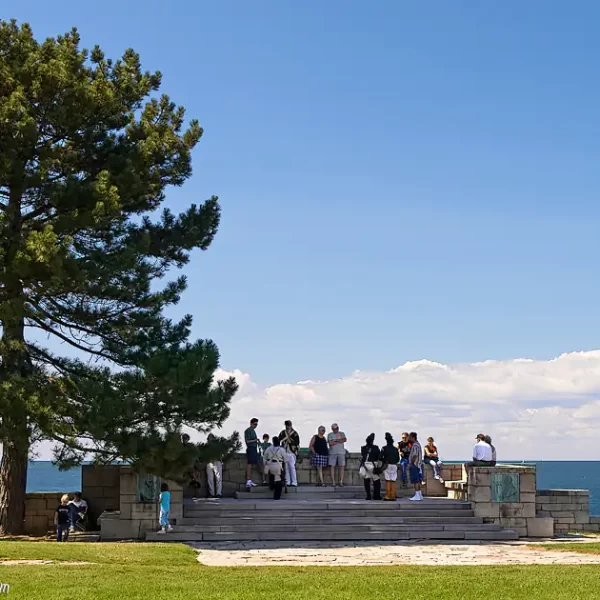
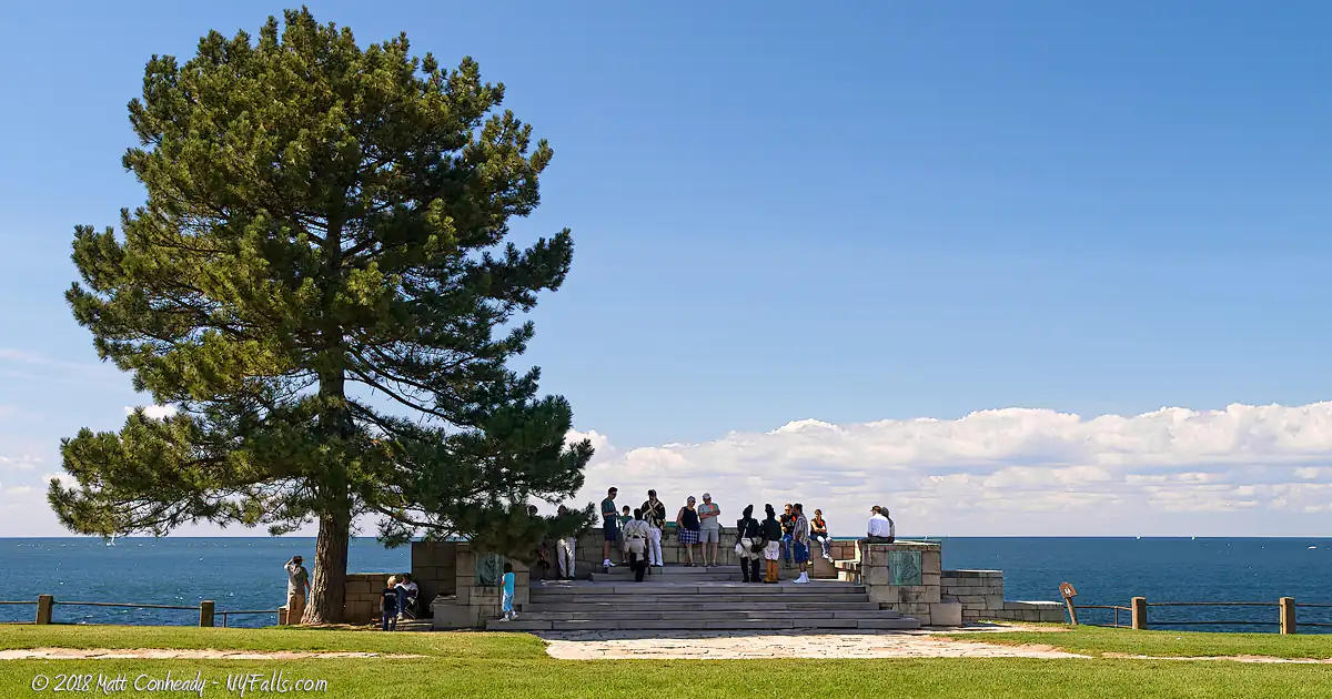
The State Park is a well-groomed recreation facility, with numerous playing fields, swimming pools and ample opportunities to enjoy the River and Lake. The shoreline Sun Lawn slopes towards Lake Ontario as if to offer natural stadium seating to gorgeous sunsets and, on a clear day, Toronto’s skyline. The boat launches on the Niagara allow easy access to both the River and Lake’s best views and world-class fishing.
With Olympic-sized swimming pool, waterslides, and wading pool, hot summers bring families in droves. Blankets and chairs dot the shoreline lawns, and the park shelters cater to parties of all sizes. A snack bar serves up fast-food for anyone who didn’t pack a picnic and it has tables overlooking Lake Ontario. With plenty of open space, the park hosts soccer, rugby, Frisbee and various other games and tournaments throughout the year.
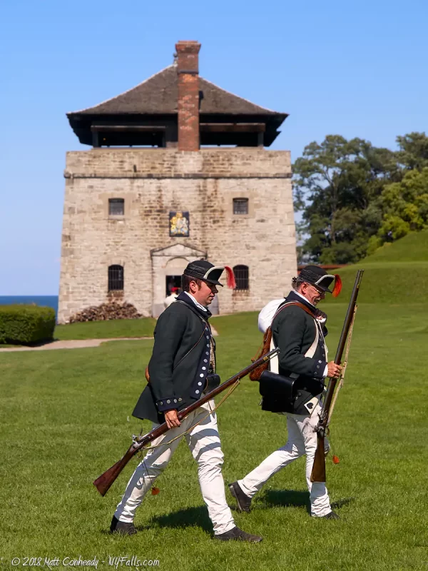
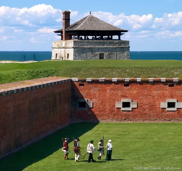
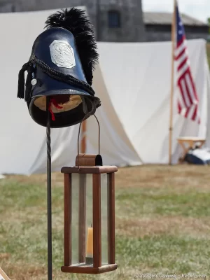
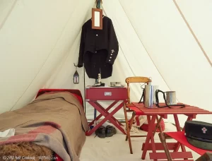
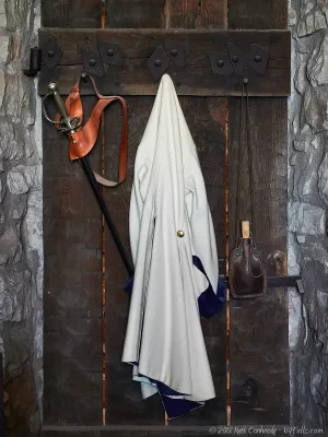
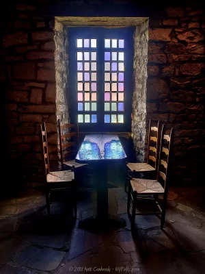
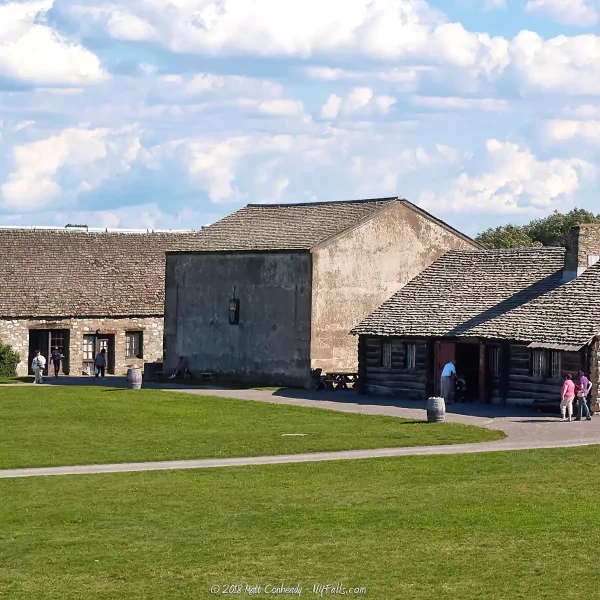
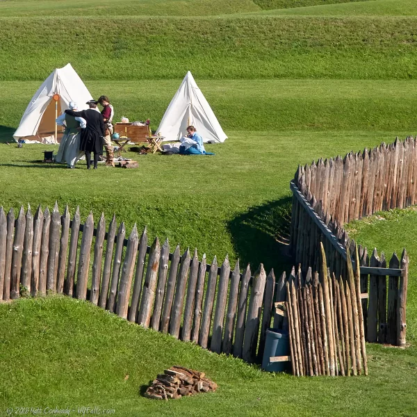
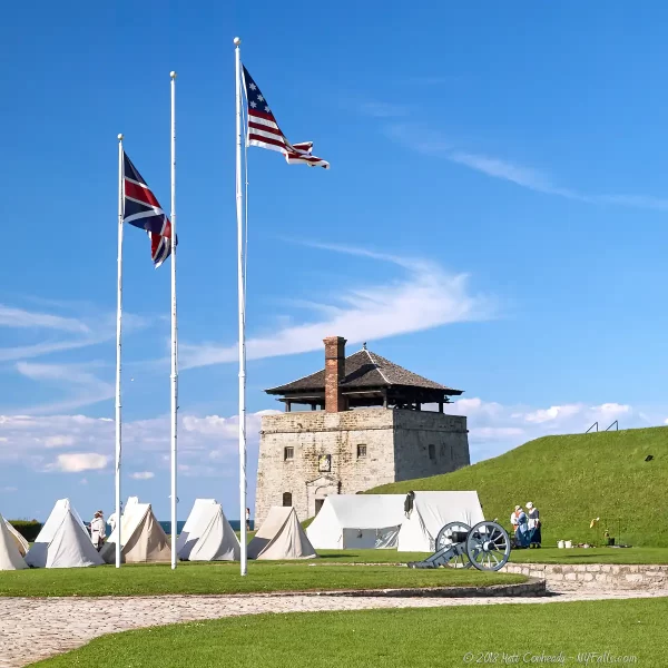
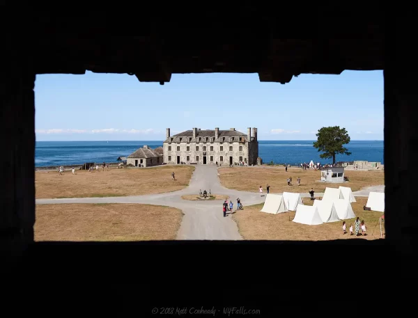
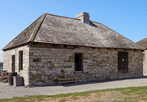
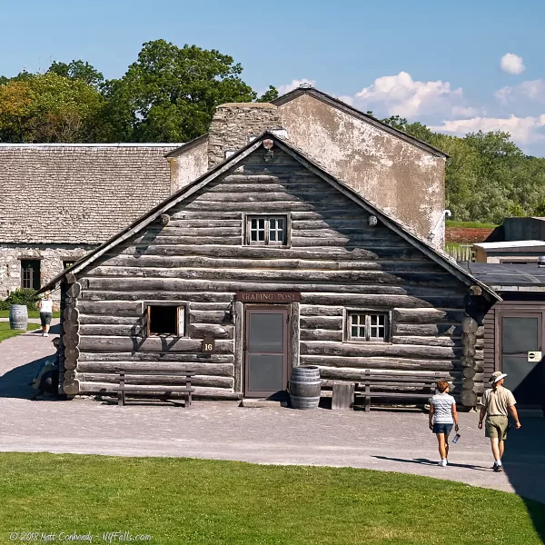
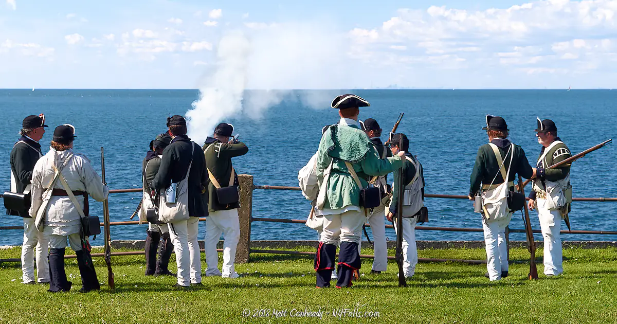
Old Fort Niagara, situated between the River, Lake and the Park, is an impressive living museum. Topped with the flags of the three nations that once held the Fort, the restored buildings and skillful reenactors tell the story of the post’s rich martial history. Carefully reconstructed rooms and artifacts give visitors a glimpse into life during the centuries-long-struggle for control over the Great Lakes during America’s infancy.
The buildings and fortifications that make up the fort in its current incarnation are the accumulation of French, British and American occupations since 1679 when the French Fort Conti was first established here. The junction between the Niagara and Lake Ontario was the gateway to the Great Lakes and the west. Whoever controlled access to the river and the support of the native Seneca Nation had the strategic advantage. The fort came under siege multiple times and changed hands throughout its history, as nations struggled to control the world’s largest inland waterway.
The War of 1812 was Fort Niagara’s last armed conflict and after 1916 it served only as a peaceful border post for the most part. For the Civil War the complex was extended outside the Old Fort walls into the “New Fort,” which now serves as the State Park. US soldiers were trained and garrisoned here through both World Wars and up until 1963. Today, the US Coast Guard is the only military presence left. Their station is located outside the fortification walls to the south, along the Niagara.
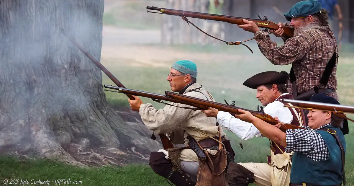
Restoration of the Old Fort began in 1926 and was completed in 1934. In 2006 a multi-million dollar Visitor Center opened and now serves as both a museum and gateway to the Old Fort. The museum has interactive exhibits, an information desk, and features the original US flag flown over the fort during the War of 1812 , sealed in a climate-controlled preservation room. The not-for-profit Old Fort Niagara Association works in cooperation with the New York State Office of Park, Recreation and Historic Preservation to preserve, to restore and maintain the Old Fort. They organize regular demonstrations, educational programs and exciting reenactments. Even those that glazed over history in school, will perk up when the soldiers start marching and the cannons and muskets start crackling.

Fort Niagara Media
Fort Niagara Video
Live stream from the top of the Fort Niagara Lighthouse

Fort Niagara Photo Gallery
A friendly reminder that the photos on this page are under copyright of the creator and unauthorized commercial use will result in a bill being sent for license fees. You may use a photo on your website as long as it links back to this page.
Hiking / Walking Trails
Trail Guide: The State Park has nature trails on the east side of the park for a total of 5 miles. The roads and walkways in the park and historic site are also very walkable with the occasional interesting view or historic signage. A walk around the park is roughly 4 miles.
Difficulty: Easy.
Markings: Trailheads are labeled and trails are clearly defined with color markings.
Distance: Two miles of wooded trails. Several miles of roadside walking.
Description: The Beach Trail is a short trail with multiple branches, that can be accessed from the lake shore in the northeast corner of the park near the entrance and the Robert Moses State Parkway of the Sun Lawn at the lake. Extending across the Parkway and down the wooded eastern border of the park is the half-mile Range Trail. It can be accessed from the parkway ramp on the north or the playing fields at the south.
The Sun Lawn and the pebble beach along Lake Ontario is also an excellent spot for a short walk. On a clear day, you can see Toronto on the other side of the lake.
Other hiking opportunities can be found by following the looping park roads. See the map below for the recommended “Measured Walk” around the park.
The self-guided tour to the Old Fort is also an excellent opportunity for a walk. Pick up the guide at the admission desk.
Map: Trail Map.

Fort Niagara Historical Timeline
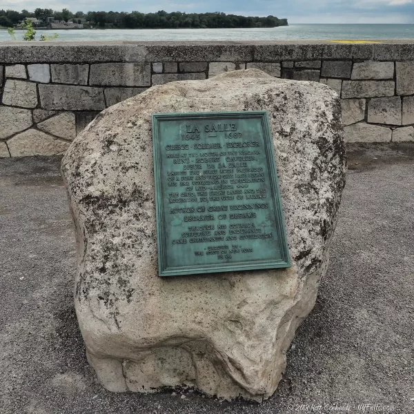
| 1678 | – | French explorer René-Robert Cavelier, Sieur de La Salle built a small post here and dubbed it Fort Conti. It burned to the ground less than a year later. |
| 1687 | – | The Governor of New France, Jacques-Rene de Brisay, Marquis de Denonville constructed Fort Denonville on the former site of Fort Conti. The purpose of the new fort was to “control” the native Seneca population. Severe winter weather, pressure from Seneca warriors, and lack of supplies decimated the 100 soldiers stationed there. |
| September 1688 | – | The French abandoned the post and the stockade was pulled down. The Seneca tribe of the Iroquois Nation had successfully reestablished dominance over the Niagara region. |
| 1725 | – | The French met with Iroquois leaders at Onondaga, in central New York, to ask permission to build a peaceful outpost at the site. Permission was granted. |
| 1726 | – | The French built the two story “Maison A Machicoulis” (referred to today as the “French Castle”). It was used as a peaceful trading post and embassy to the Iroquois. Despite its peaceful intentions, it was enclosed in a wooden stockade to help protect it from hostile natives. The French again controlled access to the west through the Great Lakes. |
| 1744-1748 | – | King George’s War led to expansion of the Fort. |
| 1755 | – | The French and Indian War begins. By this time the post had long since served as a guardian of the portage rather than the peaceful trading post the French told the Iroquois it was for. The war led to additional fortifications and expansion of the complex. |
| July 1759 | – | The British, led by commander Sir William Johnson, capture the Fort in the nineteen day siege, called the Battle of Fort Niagara. |
| 1763 | – | The French and Indian War ends. |
| 1759-1796 | – | The British maintain control of the Fort, using it as a loyalist base during the American Revolutionary War. Fort Niagara becomes notorious for drinking, brawling, whoring, and cheating. Crude taverns, stores, and bordellos sprouted on “the Bottom,” the riverside flat below the fort. |
| 1783 | – | America becomes independent with the signing of the Treaty of Paris, and Fort Niagara was ceded to the new country. British loyalists still occupied the Fort. |
| 1796 | – | The Jay Treaty turns over control of the Fort to the United States Military. British loyalists are granted asylum in Canada. |
| 1812 | – | War breaks out between British North America (Canada) and the United States. |
| December 19, 1813 | – | British forces capture Fort Niagara. |
| December 24, 1814 | – | The War of 1812 ends with the signing of the Treaty of Ghent and the Fort is ceded, yet again, to the United States. The Fort then served as a garrison and training grounds for troops needed for wars of the American westward expansion. |
| 1840s-1850s | – | With the United States’ westward expansion winding down, the need for military presence at the Fort waned and it was abandoned for most of this time. In 1941 it was granted from the State of New York to the United States. |
| 1861-1865 | – | The American Civil War was underway and fearing British interference from the north, the United States garrisons troops at the Fort again. Fortifications are increased and artillery upgrades are made, but never used. |
| Post Civil War | – | Inadequacies found during the Civil War garrison resulted in an expansion beyond the “Old Fort” to what is referred to as New Fort Niagara. Modern buildings were built outside of the old fortifications, primarily for quartering personnel; rifle ranges were set up; and a rail line extended to the fort to facilitate faster troop movement. Military convicts were imprisoned here during the 1870s. |
| 1893 | – | A US Coast Guard Station was established on the bank of the Niagara below the Fort. This station is still in service today. |
| 1920s | – | The shift of activity from the Old Fort to the New Fort left the old structures in a state of neglect. The French Castle was in danger of collapse. The 28th Infantry Regiment occupied the New Fort and times of peace and American prosperity led to a relaxed atmosphere at the Fort. |
| 1927-1934 | – | In an effort to save the French Castle, the Old Fort Niagara Association is founded in 1927. Federal and private funding was secured and restoration of the Castle and adjacent sea wall were completed by 1929. Further action from the Association rehabilitated other structures by 1934. |
| June 1938 | – | The Officer’s Club building (that still stands today in the State Park) opens, replacing the original structure that was destroyed by fire. The design is inspired by the French Castle in the Old Fort. |
| 1940-1943 | – | In preparation for world conflict, the role of the Fort was downgraded, being too small for a large-scale training facility. The 28th Infantry Regiment was moved south to train and Fort Niagara then served as a reception center for new recruits. |
| 1944-1946 | – | Fort Niagara served as a camp for German prisoners of war. |
| 1945 | – | After the war, Fort buildings were used as temporary housing for veterans. |
| 1950s | – | The Fort houses engineers and workers from various NIKE missile bases in the region. |
| 1950-1963 | – | The Korean War brought active servicemen back to the fort. |
| 1965-1966 | – | Although planning to convert the Fort to a park began years ago, the demolition of garrison buildings began in 1965 and park development finally started. Of the 100 buildings on the base, most were demolished. The State of New York took over the demilitarized site and Fort Niagara State Park was created. |
Fort Niagara Interactive Map
Old Fort Niagara Landmarks
Powder Magazine
Constructed by the French in 1757, this reinforced building stored black powder and munitions up until as late as 1929. In 1826, Freemason critic William Morgan was held prisoner here and his mysterious disappearance sparked a nation-wide anti-Masonic movement. Today the structure houses exhibits on Fort archeology.
Dauphin Battery and Gate of the Five Nations
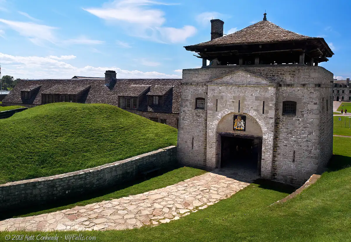
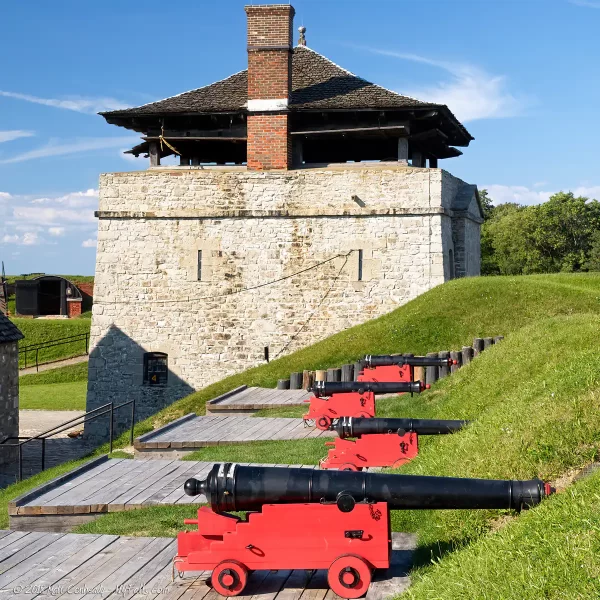
From 1756 to the early 1800s the entrance to the Fort was here. The French named the Gate in honor of the Five Nations of the Iroquois Confederacy. The drawbridge was protected by the Dauphin Battery. The five cannons that point across the river to Fort George in Canada were placed here in the 1840s. The gatehouse and battery were reconstructed in 1931. On a clear day, one can see the Niagara escarpment to the south from here.
South Redoubt
Constructed by the British in 1770, this tower protected the main gate and housed artillery on its open deck. The ground floor was a fortified gateway to the rest of the Fort, and the first floor housed up to 20 guards. The redoubt, under American control at the time, was breached by attacking British on December 19, 1813, the night they seized the Fort during the War of 1812.
18-Pounder Battery
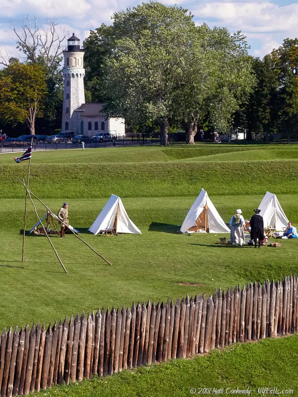
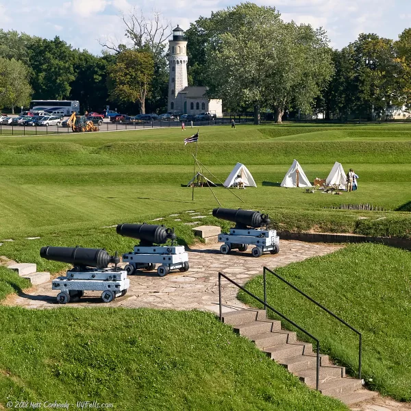
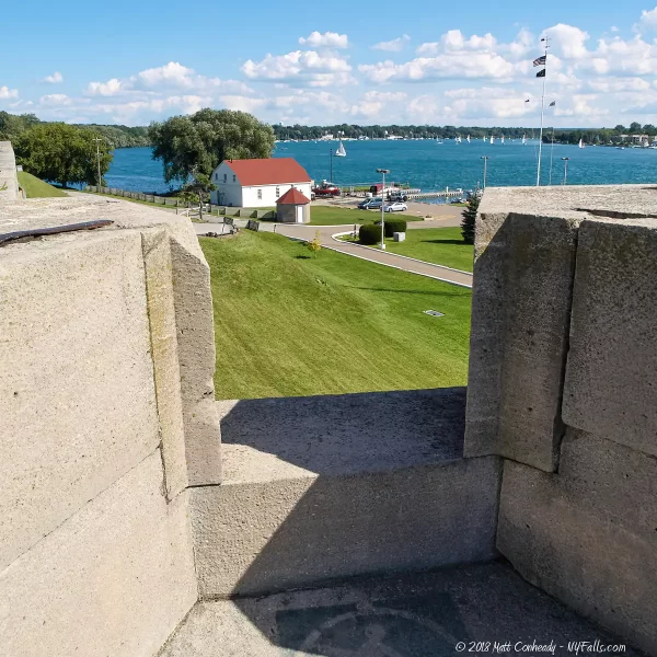
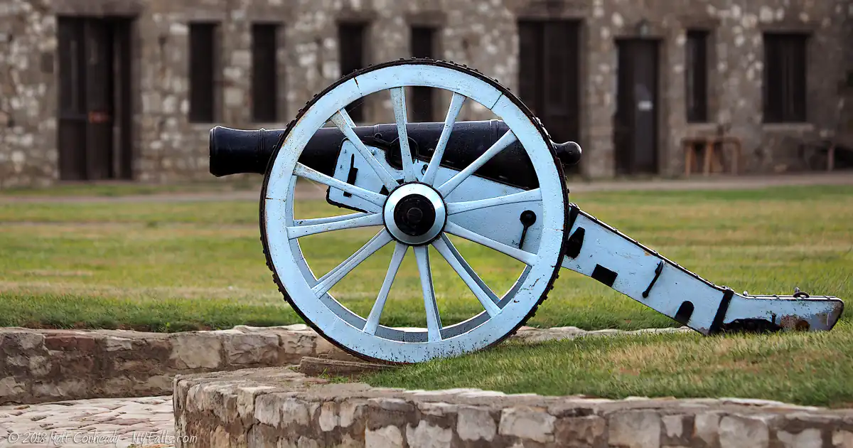
During the War of 1812, The American-held Fort Niagara regularly exchanged artillery barrages with the British-held Fort George across the Niagara River in Canada. These massive guns were set up towards Canada in the 1840s, but were never fired as an act of war. From here you can see the stone lighthouse (built in 1871) and New Fort Niagara (now the State Park), which began housing and training various military units after the Civil War.
Scarp Walls and Casemate Gallery
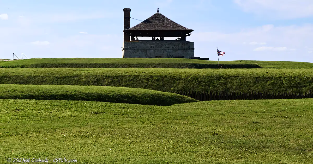
The raised earth walls were originally constructed in 1755 by the French, but were reinforced with brick and concrete between 1863 and 1872 to house artillery. The US made these improvements due to increasing tensions with British Canada during the American Civil War. Rifle and cannon slits were constructed, but border tensions eased before any artillery were set up here.
Land Defenses
The raised earth walls were originally constructed in 1755 by the French, but were reinforced with brick and concrete by the Americans in the 1860s along with the adjacent Casemate Gallery (Point #6). The Sally Port was added at this time, allowing troops to enter the Fort from this side. Dry ditches and pointed ravelins were designed to channel attackers towards cannon fire and keep them from clearly aiming artillery at fortifications. The land barriers here were reconstructed to appear as they would during 1759, just before the British capture.
Three Historic Flags
The three flags commemorate the three nations that have held Old Fort Niagara. The first were the French from 1726 to 1759, represented by the white flag of the French Marine Department. The British occupied the Old Fort from 1759 to 1796, represented here by the modern flag of the United Kingdom. The US flag, the 15 star, 15 stripe version is flown to represent US occupation from 1796 to 1818.
The British did recapture the Fort in 1813 for a brief time. The original US flag they took in that capture was returned in 1994 and is now housed in the Fort’s museum.
North Redoubt
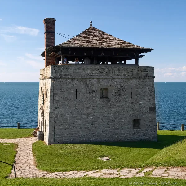
Constructed by the British in 1771, this tower watched and protected the Fort from Lakefront. The ground floor of the North redoubt contained a powder magazine and the first floor housed up to 20 soldiers. The style is influenced by Roman archway doors and windows and a Chinese-style rooftop.
Millet Cross
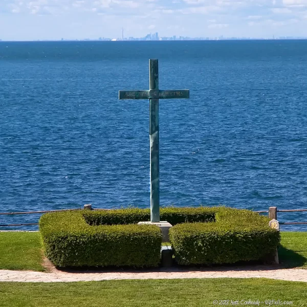
Erected by the Knights of Columbus in 1926, this copper cross commemorates the French soldiers of Fort Denonville, the precursor to Fort Niagara. The ill-fated winter of 1687-88 brought disease and starvation to this harsh frontier post. Only 12 of the 100 garrisoned men survived. The inscription on the cross reads REGN. VINC. IMP. CHRS.” (Regnat, Vincit, Imperat, Christus) translated as
“Reign, Conquer, Command, Christ.” Father Pierre Millet erected a wooden cross and conducted mass for the doomed garrison on this site in 1688.
Rush-Bagot Memorial
Following the War of 1812, armament agreements between the United States and Great Britain began. The Rush-Bagot Treaty, named for convention negotiators Acting United States Secretary of State Richard Rush and British Minister to Washington Sir Charles Bagot, provided for the demilitarization of the Great Lakes and Lake Champlain. The unfortified, four-thousand mile border between the US and Canada is the fruit of this effort. The memorial was dedicated in 1934.
French Castle
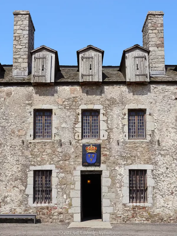
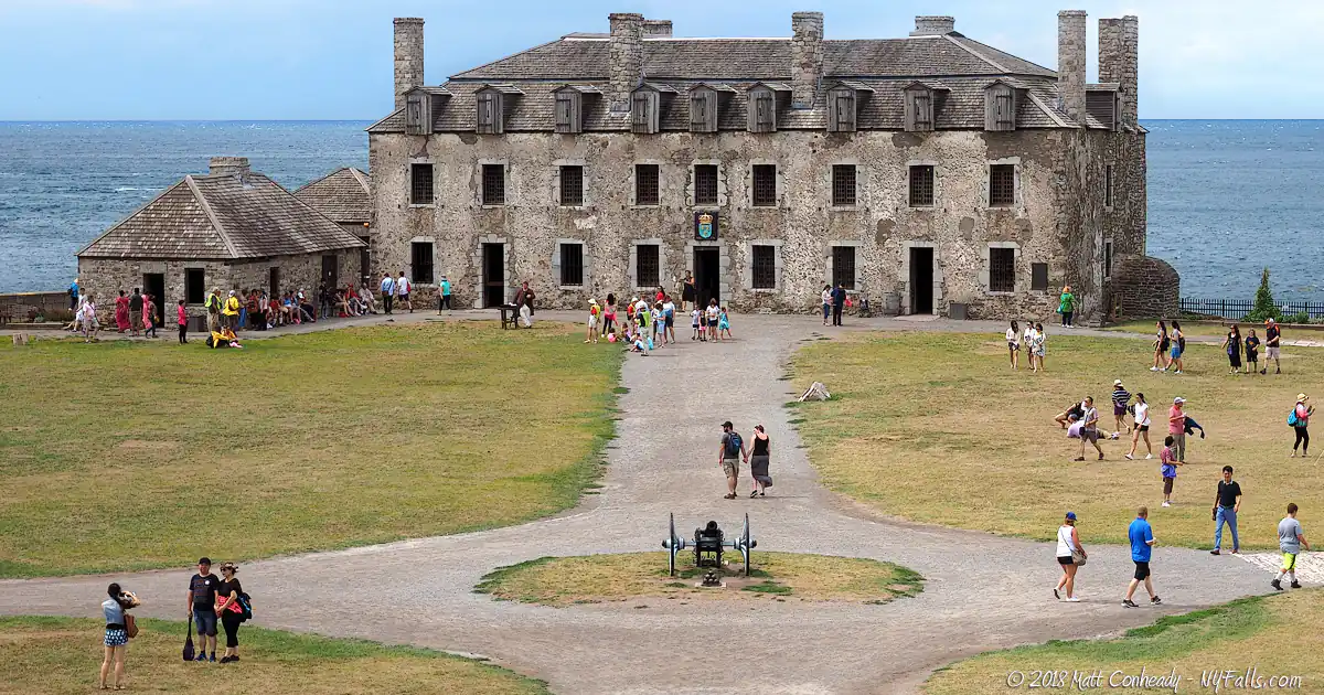
Constructed in 1726 by the French, the two-story “Maison a Machicoulis” is the oldest building in the Fort as well as in the Northeast United States. Designed by French chief engineer Gaspard-Joseph Chaussegros de Lery, it was intended to look like a trading post in order to appease Iroquois suspicions of a French stronghold in their territory. In reality, it was a fortress capable of withstanding attacks from native Indians. Under the guise of a “House of Peace” the building garrisoned soldiers and Fort Niagara grew around it. As new buildings were added to the Fort, the Castle’s role evolved. It became a residence for officers as additional barracks were constructed outside the Castle. It continued to serve various military officers to as late as WWI.
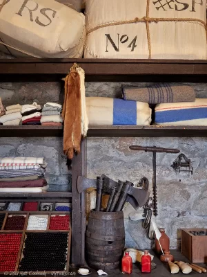
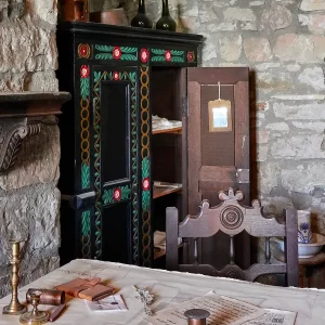
The Castle was restored from 1926 to 1933 to roughly the 1727 French occupation configuration and is open to visitors. The ground floor has recreations of storerooms, a powder magazine, bakery and guardhouse. The eastern end houses a reconstructed Trade Room, showing various artifacts that were stored and traded with the Indians. The second floor contains living quarters and the chapel, one of the earliest permanent churches in Western New York. The attic reveals the Castle’s function as a defensive stronghold and artillery platform. Cannon fire pounded British-controlled Fort George (on the other side of the river) from here during the War of 1812.
The moniker “French Castle” was most likely adopted in later years (1830s) when American soldiers were stationed here.
River Defenses
When the British established Fort Mississauga on the other side of the Niagara River in 1814, the Americans needed better river-side armaments. From 1839 to 1841 the river wall was constructed. The Hot Shot Furnace was used to heat cannonballs to searing temperatures to set buildings and ships on fire.
Below the this area now exists a US Coast Guard station.
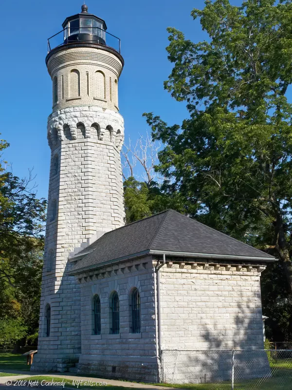
Fort Niagara Lighthouse
The 3rd lighthouse built at Fort Niagara, it was constructed in 1872 by the US government after the previous wooden one was damaged by a tornado. The octagonal limestone tower was originally set at 50 ft high and a small oil storage room was built at the base. The Fresnel lens from the old tower was used and the tower lit up for the first time on June 10, 1872.
In 1900 the tower was raised an additional 11 feet with the addition of a watch room between the lamp and the limestone tower. You can clearly see the brick addition above the original limestone masonry. Lifting the lamp those extra feet extended the reach of the light to 25 miles. Adjacent to the lighthouse is the keeper’s quarters, a colonial-style home that now serves as a private residence.
The Coast Guard ran the light here until 1993, when nearby tree overgrowth began to inhibit the light’s visibility from the River and Lake. A modern steel beacon tower was erected near the Coast Guard station and the Old Fort Niagara Association runs the old tower as a small museum and gift shop. The original Fresnel lens is now on display in the Fort’s museum. A webcam mounted atop the lighthouse now streams views of the fort and Lake Ontario.
Niagara Falls Visitors Guide
This Comprehensive Niagara Falls Historic Timeline is a part of our Niagara Falls Guide, a comprehensive look at The Falls, top attractions, and other awesome parks in the region, with a focus on photography and nature.
Who to Contact
General water concerns:
NYSDEC Region 7 Fisheries
1285 Fisher Ave.
Cortland, NY 13045
Phone: (607) 753-3095
E-mail: [email protected]
State boat launches/access
NYSDEC Region 7
615 Erie Blvd., West
Syracuse, NY 13204
Phone: (315) 426-7403
E-mail: [email protected]
Concerning the historic fort
Old Fort Niagara
102 Morrow Plaza,
P.O. Box 169 Youngstown,
NY 14174-0169 USA
Phone: (716) 745-7611
E-mail: [email protected]


