B. Forman Park


Location: On the south end of Lake Ontario; east of the village of Pultneyville; in the town of Williamson; Wayne County; New York.
Maps: Google map; Topographic; Interactive map
GPS Coordinates:
- Parking N 43.28079 / W 77.16866
- Lodge N 43.28164 / W 77.16966
Directions: From NY-104 in Williamson, head north on CR-120 (Lake Ave then Jay Street) for 3 miles until you reach CR-101 (Lake Rd). Turn right onto Lake Rd and follow it for 2/3 mile. The park will be on the left. Use Google Maps.
Parking: The main parking lot on the premises can fit about 50 cars.
Weather
Information / Accessibility / Accommodations
Seasons/Hours: Open year-round, from dawn until dusk.
Admission: Free.
Best time to visit: Spring through fall.
Time: A few minutes to see the lake.
Handicap accessibility: One of the pavilions is.
Pets: Allowed if on a leash. For your pet’s safety, and the safety of other hikers, keep your pet on the leash! It doesn’t matter if your dog is “friendly,” it’s the law. Please clean up after.
Swimming: Not allowed.
Boat launch: None.
Accommodations: Pavilions (one enclosed lodge), restrooms, picnic tables, grills, playground, baseball field, shuffle ball court. No swimming.

Description
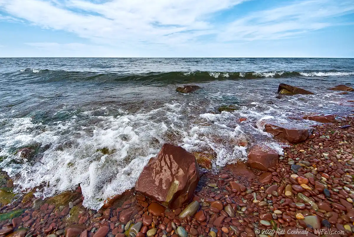
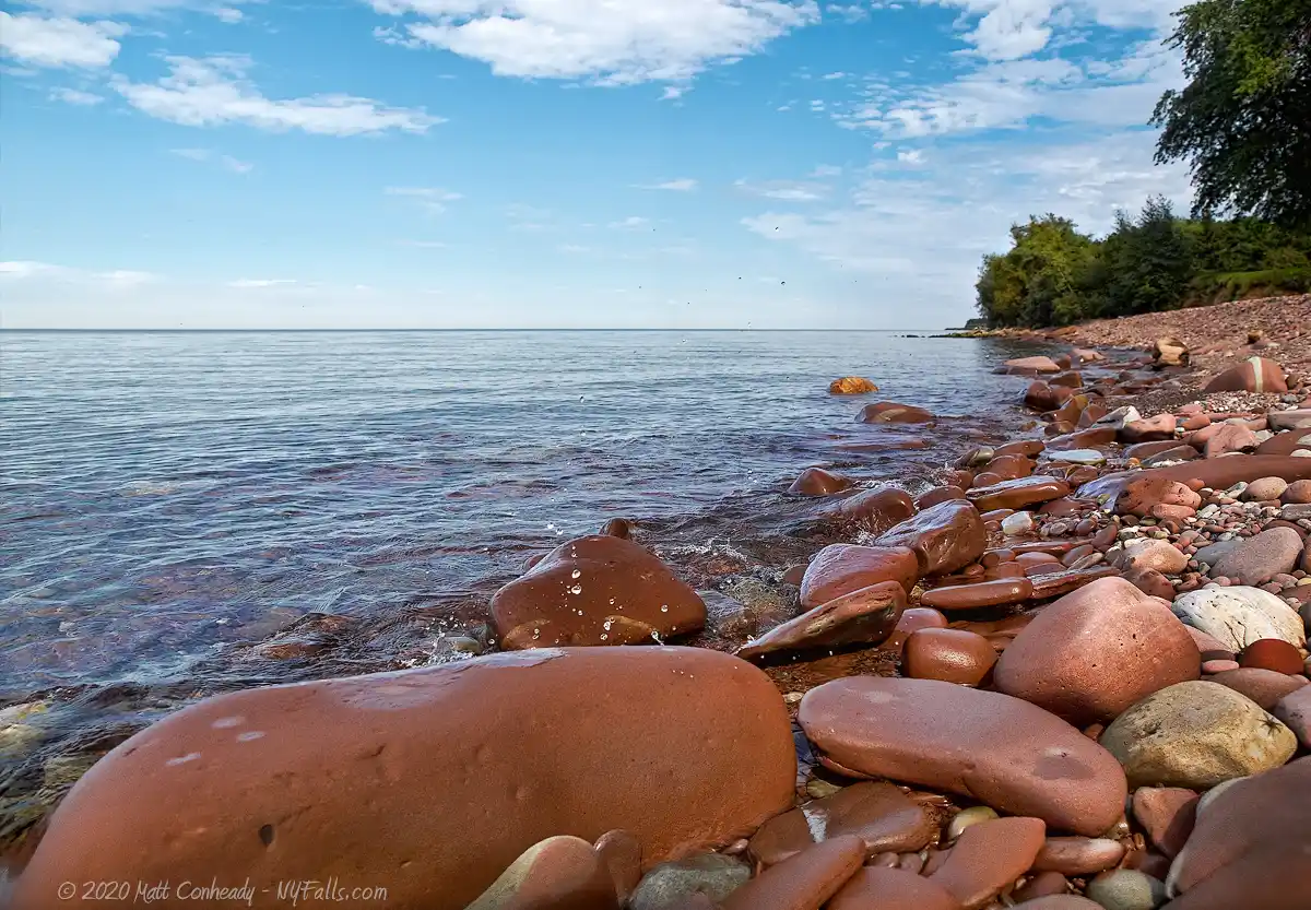
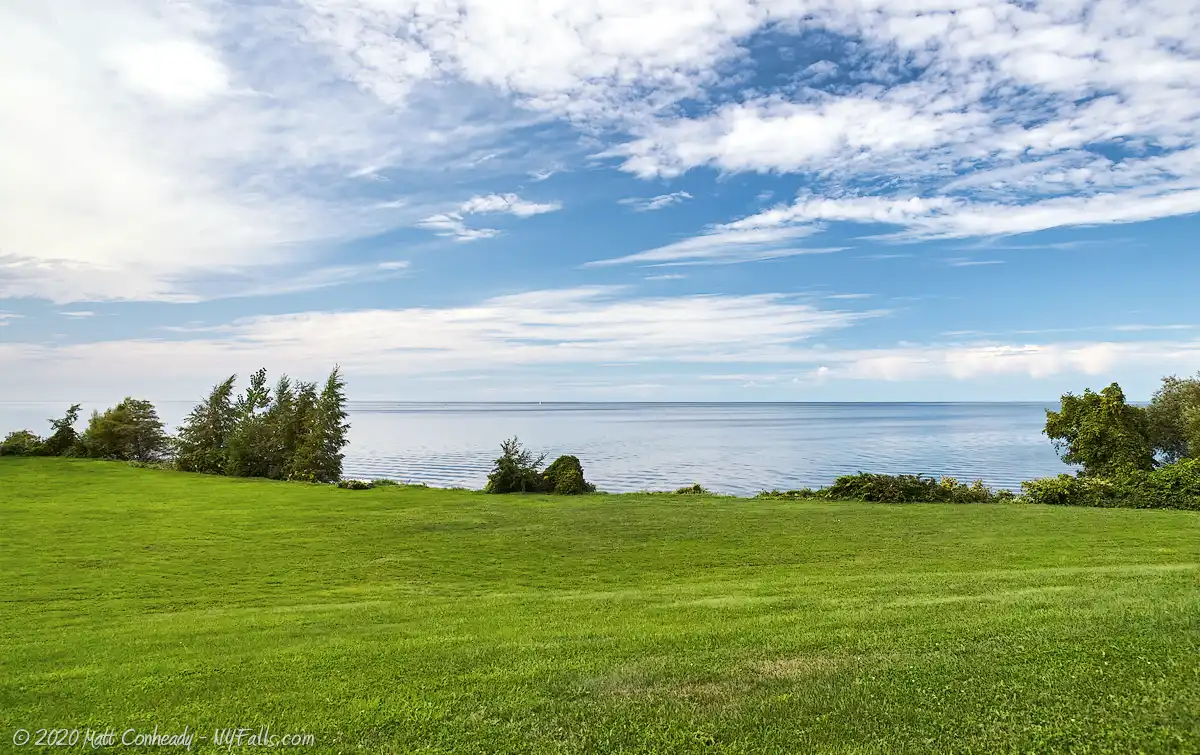
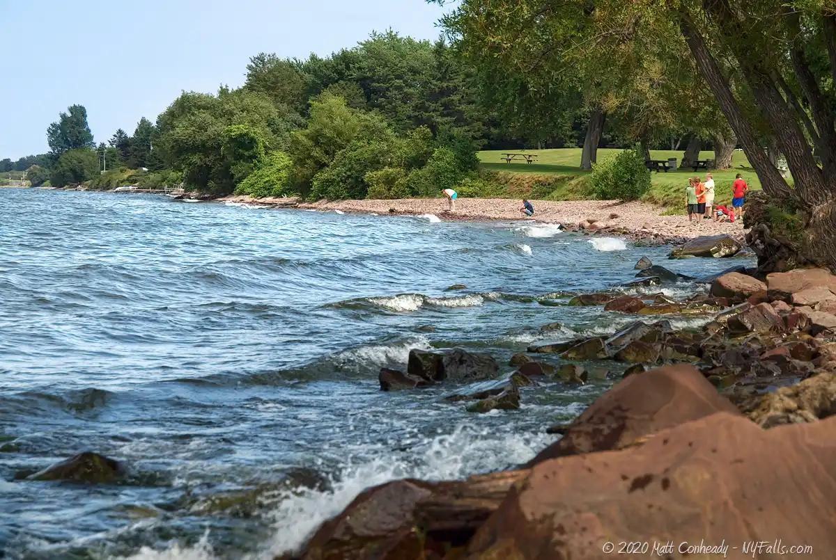
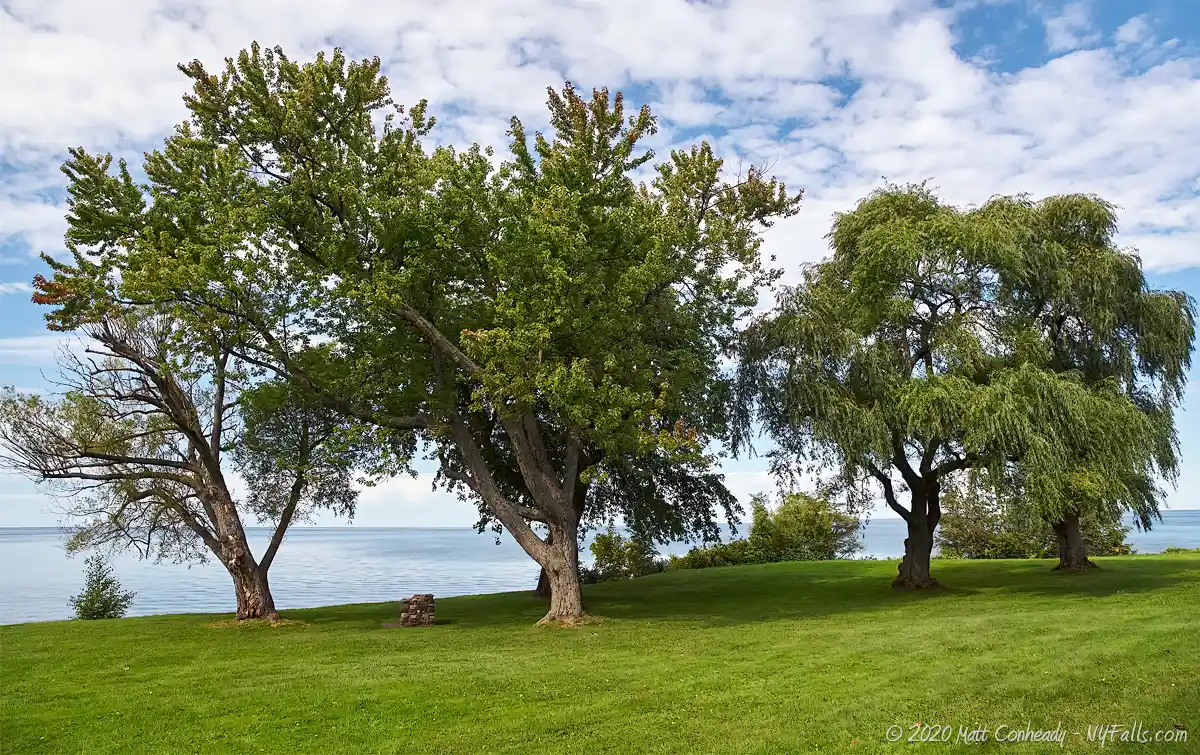
Like many of the beautiful Lake Ontario parks in Upstate NY, B. Forman County Park is a wonderful family-gathering point and a beautiful spot to catch a sunset over the lake. With ample picnicking facilities, including a massive 80-person indoor pavilion, and plentiful stray benches and grills, it’s no mystery why this park gets packed in the summer. Fully developed, the park has no trails or natural areas, but the beach is wide open and setting down a lawn chair to relax and enjoy the sights and sounds of the lake is a breeze.
Unfortunately, like many of the other parks, its beautiful beach is closed to swimming and all of its recreation opportunities are limited to land. One major reason for the closed access is that the municipal sewage line dumps just offshore to the west, rendering the water quality questionable at best. Despite signs that indicate “no swimming” it is not uncommon to see people wading in the water and children splashing around in it. Oops.
History
The earliest known history of this immediate area was in the late 17th century when French maritime explorers stopped at the mouth of Salmon Creek to trade with Native Americans (most likely the Seneca).
The village that is now Pultneyville was first settled by Jacob Hallet, in 1808 on the assignment of creating a settlement for the land capitalist Sir William Pultney of England.
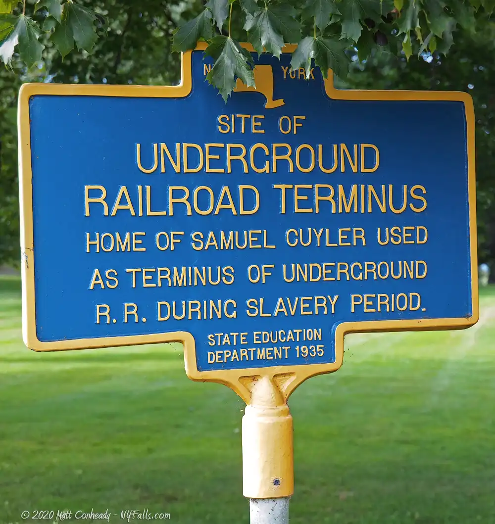
The site of B. Forman Park was the property of farmer Samuel Cuyler, who opened his estate to the Underground Railroad movement as a terminus. From there, escaped slaves would board a ship captained by Horatio N. Throop bound for Canada. The Cuyler home burned to the ground and the estate was eventually turned into a community park on June 25, 1955. The park was named after Benjamin Forman, a Rochester merchant and civic leader, who operated the B. Formans’ department store (incorporated in 1912 and operated at 46 Clinton Avenue, Rochester).
Hiking / Walking Trails
Difficulty: Easy
Distance: Walking the circumference of the park is less than half a mile.
Description: There aren’t any trails or natural areas. You can easily walk around the park if you’d like.
Markings: None.
Maps: Interactive map.
B. Forman Park Interactive Map
Fishing
Fishing is not allowed at B. Forman Park because there is an offshore wastewater discharge nearby.
Interesting Stuff
Why No Swimming?
As stated above, the municipal sewage line dumps into the lake just offshore from the west side of the park. It is treated, of course, but after times of heavy rain not all of the flow is treated fully. Swimming could be hazardous to your health. Also, the water here is deep and murky. No lifeguards are on duty.
Shipwreck
The St. Peter Shipwreck is located far offshore to the east of the park. Wrecked on October 27, 1898, and taking eight lives, this three-masted schooner was carrying coal to the Welland Canal when it was lost in a massive storm. You cannot see the wreck from the park, but experienced divers are free to take a boat out there and have a look.
Photography Tips
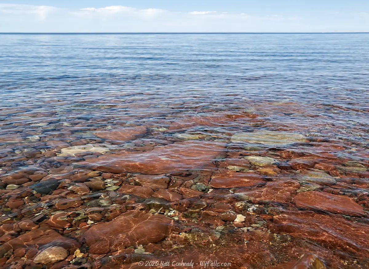
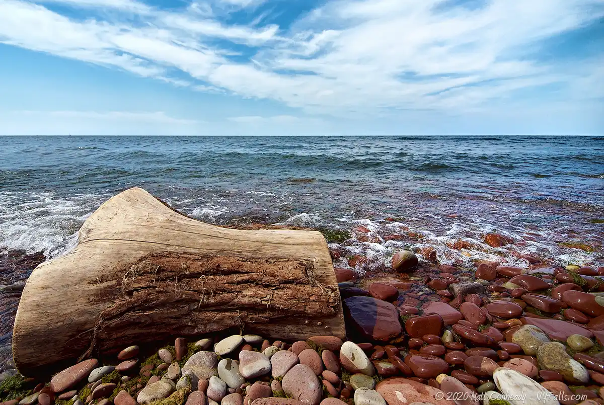
Medina Sandstone
- Try to incorporate those red beach stones into the shot. When wet they take on a deeper color.
Sunsets
- Because of the angle of the beach, sunsets are best (positioned more over the water) in mid-summer.
More tips
- See the Articles and Message Board sections for more photography tips.

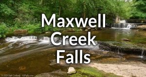
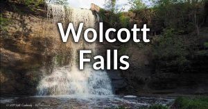
Nearby Waterfalls


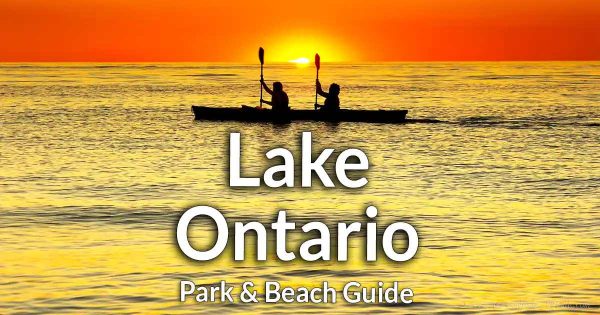
More Lake Ontario Parks & Beaches
Find a new summer hangout spot or place to swim in our comprehensive guide to Lake Ontario Parks and Beaches in New York State.
Who to Contact
Wayne County
Buildings and Grounds / Parks
7312 Rt 31
Lyons, NY 14489
Phone: (315) 946-5836
co.wayne.ny.us