Skaneateles Lake
Location: Onondaga, Cayuga, and Cortland Counties, New York.
Surrounding Communities: Skaneateles; Spafford; Marcellus; Scott.
Maps: Google Map; Topographic; Watershed map; Land-use; Contour.
GPS Coordinates:
- Northern Outlet (Skaneateles Creek): N 42.94508 / W 76.42940
- Southern end: N 42.76415 / W 76.27263
Size:
- Area: 8,800 acres
- Length: 15 miles
- Max width: 1 mile.
Max depth: 300 feet.
Volume: 424 billion gallons.
Water source for: Skaneateles and Syracuse.
Water quality: Excellent.
Elevation: 863 feet.
Directions: Rt. 41 runs along the east side of Skaneateles Lake and 41A runs along the west. To access the lake from the beautiful Shotwell Memorial, Thayer and Clift Parks in Skaneateles, take I81 to Rt. 20 and head west through the town. Use Google Maps to get turn-by-turn directions.
The Bahar Nature Preserve can be accessed from Appletree Point Rd off of Rt. 41A.
Weather
Description / History
Pronunciation: “skany-atlas,” preferred, or “skinny-atlas,” common. From the Iroquois name meaning “Long Lake”
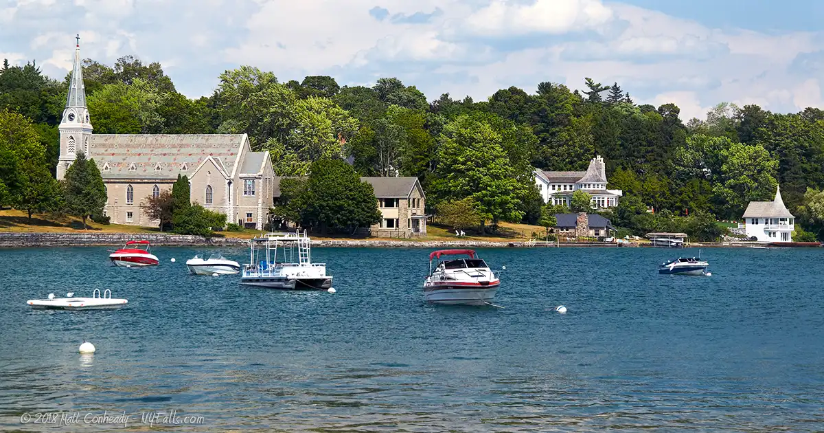
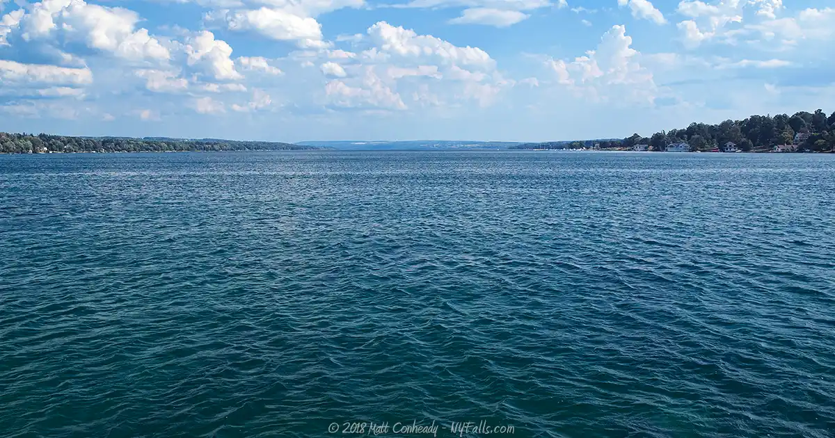
Skaneateles is not the longest (Cayuga is), nor is it the deepest (Seneca), but its claim to fame is its crystal-clear water and beautiful small-town setting. The quaint town of Skaneateles on the northern cap of the lake offers residents and visitors a peaceful and friendly atmosphere amidst its historic setting. Tourists come for the unique shops, pubs, dining experiences or cultural festivals and are awestruck by the sparkling blue waters, often called the most beautiful in the world.
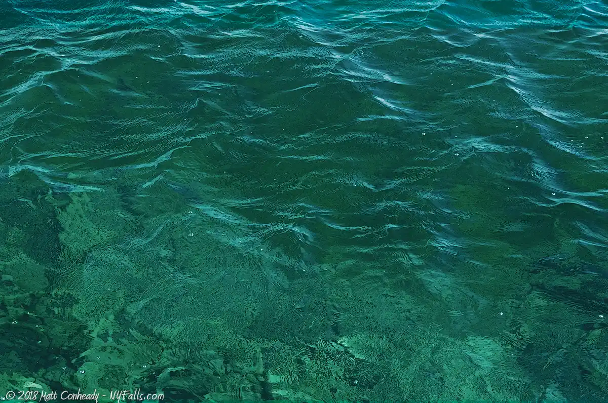
The characteristic bluish-green color of the lake is a result of at least 3 factors. The lake is deep, with gorge-like cliffs dropping right off the shore. The clarity of water allows for the easy penetration of blue light waves deep into the lake. These light waves bounce around the deep waters and reflect back. The inability of other wavelengths to penetrate so deeply, leaves just the blue, giving its bluish green glow. Another reason is its hardness; picking up lime and other minerals from the bedrock and tributaries helps accentuate the water’s color. The lake also has a lack of biological systems (microbiological specifically), otherwise common to lakes.
The lake, a water source for the city of Syracuse and surrounding neighborhoods since the 1890s, is considered to be the cleanest of all the Finger Lakes. This status is a fragile one, however. Since the minority of the surrounding watershed properties are undeveloped and over 40% of the surrounding land is agricultural, polluted run-off easily finds its way into the lake. Although volunteer clean-agricultural programs are being encouraged by Cornell University and the State DEC, continued development of the area may threaten the lake’s water quality. Teams of water quality inspectors constantly monitor lake conditions and work with property owners to ensure the quality of the water. Currently the lake maintains its cleanliness and the city of Syracuse takes advantage of this along with the lake’s high elevation and natural water pressure.
Skaneateles Lake Parks / Beaches / Access Points
Shotwell Memorial Park / Clift Park
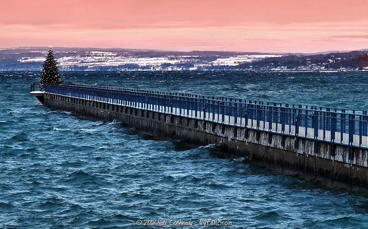
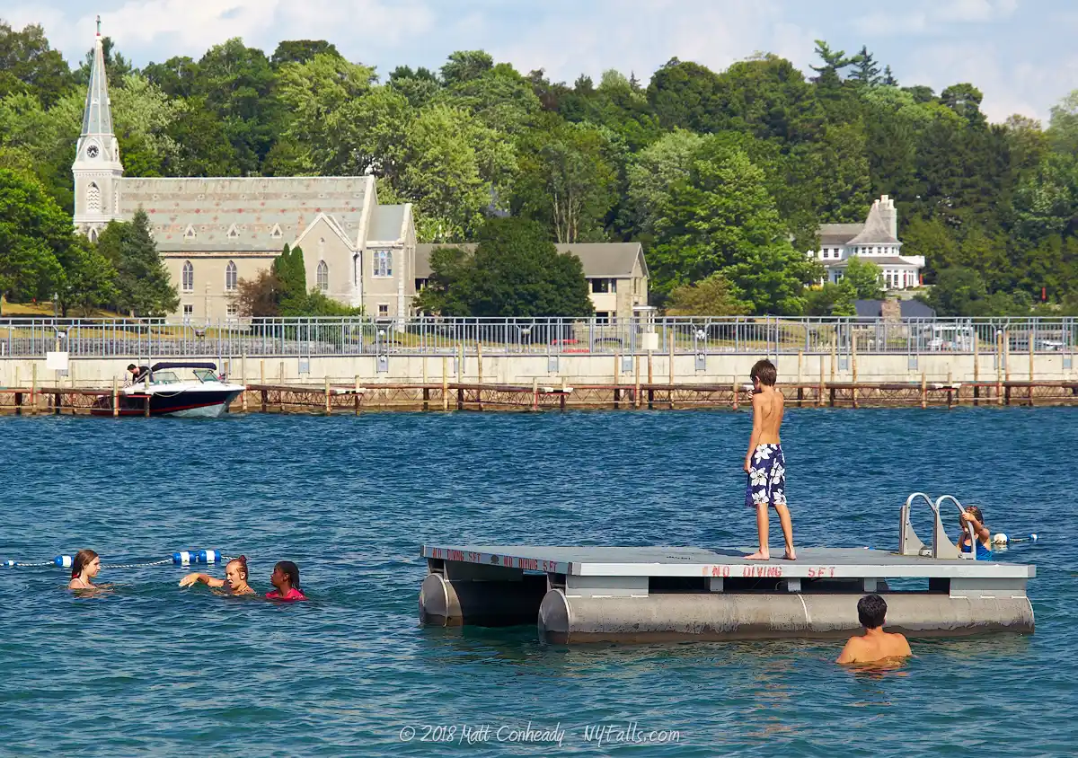
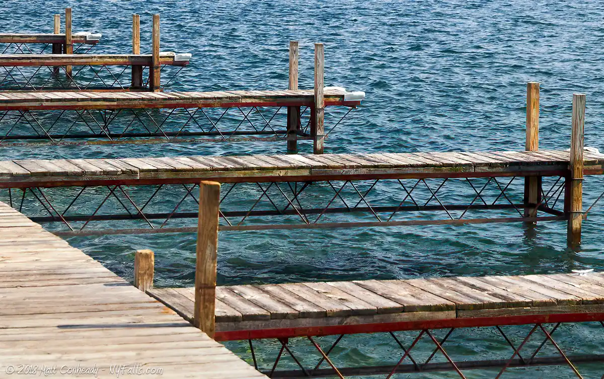
Description: These two adjacent parks on the north shore in the village of Skaneateles offer a great view of the lake looking south. Clift Park has a swimming area, benches, a gazebo with regular concerts, and a beautiful pier. To the east is Shotwell Memorial Park, dedicated to the area’s veterans of foreign wars. Both parks have fantastic views as well as a plethora of shopping and dining opportunities across the street in the village.
Seasons/Hours: Year-round, from dawn until dusk.
Directions: Take Rt 20 into the village. Google Maps.
Parking: Park along Rt 20 (W. Genesee St) in metered spots or in the public lot behind the buildings off of Jordan St to the north (map).
Best time to visit: Summer.
Pets: Unknown policy.
Admission: Free.
Handicap accessibility: Yes, to the pier.
Swimming: Swimming is allowed in the designated area when lifeguards are on duty. There’s no beach, just concrete steps into the lake. Village residents swim for free. Others have to pay a small fee.
Boat Launch: None.
Accommodations: Fishing; benches; gazebo; war memorial; No picnic facilities. Public restrooms are located near the public parking lot. Restaurants and shops nearby.
Contact: Village of Skaneateles: (315) 685-3440
Thayer Park
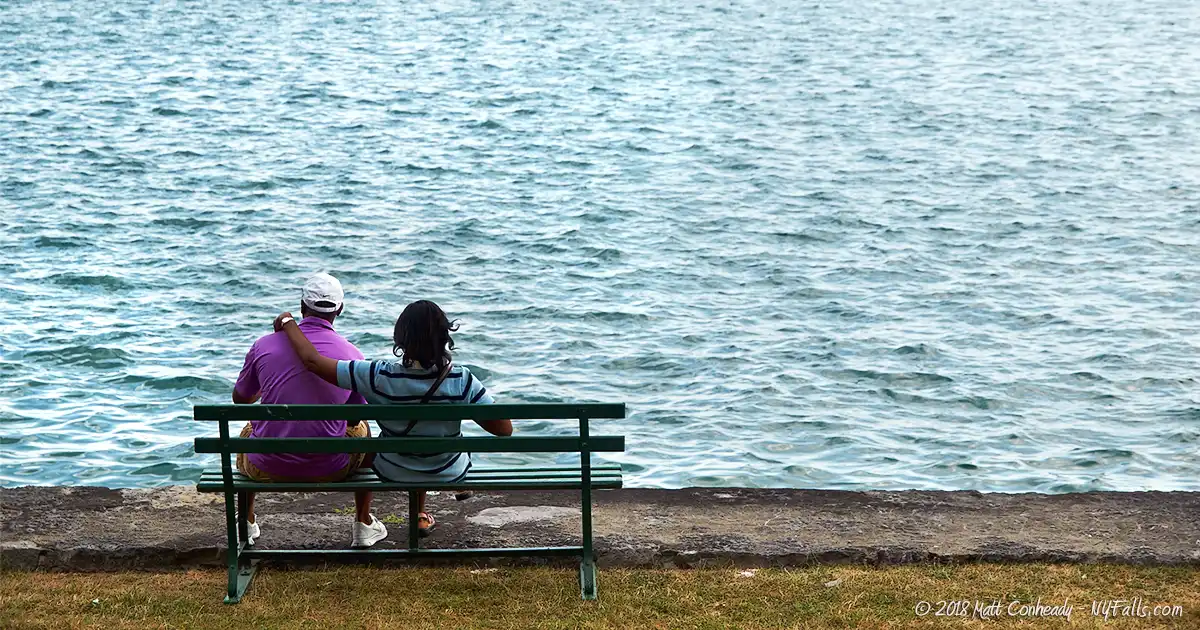
Description: East of Shotwell and Clift Parks, and past several buildings, is this small slice of shaded lakefront green near the Episcopal Church. Benches are provided. The first white settlers (Moravian missionaries) to this area landed here and built a shelter.
Seasons/Hours: Year-round, from dawn until dusk.
Directions: Take Rt 20 into the Village. Google Maps.
Parking: Park along Rt 20 (W. Genesee St) in metered spots or in the public lot behind the buildings off of Jordan St to the north (map).
Best time to visit: Spring through fall.
Pets: Unknown policy.
Admission: Free.
Handicap accessibility: No.
Swimming: No.
Boat Launch: None.
Accommodations: Fishing; benches; historical information.
Contact: Village of Skaneateles: (315) 685-3440
New York State Fishing Access Site
Description: The state provides this boat launch and sliver of land for fishing about 3 miles down the shore from the village.
Seasons/Hours: Year-round, dawn until dusk, unless the lake is frozen.
Directions: 3 Miles down West Lake Road from the village. Google Maps.
Parking: A lot for about 30 cars and trailers.
Best time to visit: Summer through fall.
Pets: Allowed, on leash.
Admission: Free.
Handicap accessibility: Yes.
Swimming: None.
Boat Launch: Concrete ramp for trailer launch.
Accommodations: None.
Contact: NYS DEC: 607-753-3095
Bahar Nature Preserve
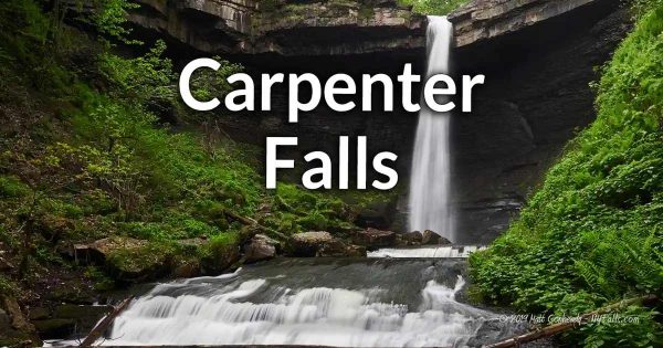
Description: The Finger Lakes Land Trust secured this property which contains the Swamp Bear Creek Gorge and Carpenter Falls. The preserve has 2 large waterfalls and 65 feet of lakefront access.
Season/Hours: Year-round, day and night.
Directions: The preserve is located down the west end of Skaneateles Lake, off of Rt 41A. Carpenter Falls is located near a bend in Apple Tree Point Road. You can park where that road meets Carver Road. The lake is on the other end of the preserve. The closest parking area is a ways from the lake. Please do not drive up to the beach area.
Best time to visit: Year-round.
Pets: Allowed, on leash.
Admission: Free.
Handicap accessibility: Not at all.
Swimming: Not allowed.
Boat Launch: Hand launch, if you carry your craft from the designated parking area up the road.
Accommodations: Fishing; hiking; waterfalls.
Contact: Finger Lakes Land Trust: 607-275-9487; [email protected]
Scott Park
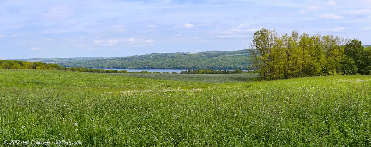
Description: Located on the south end of the lake in the town of Scott is a small community park with a boat launch on a tributary that leads to the lake. The northern end of the park, although the ground gets quite wet, and the insects are out in full force, provides excellent access to the south shore of the lake. The park is a popular place for activities, fishing, and hiking.
Season/Hours: Year-round, dawn until dusk.
Directions: Located at the southern end of the lake off of Glen Haven Rd (CR 101). Google Maps.
Parking: Park in the large lot at the entrance to the park.
Best time to visit: Year-round.
Pets: Unknown policy.
Admission: Free.
Handicap accessibility: To the boat launch and lodge.
Swimming: Not allowed.
Boat Launch: A concrete ramp for trailer launch. Hand launch is possible from several locations in the park.
Accommodations: Fishing; hiking; baseball diamond; lodge; bird-watching.
Contact: Town of Scott: (607) 749-2902; [email protected]
Hinchcliff Family Preserve
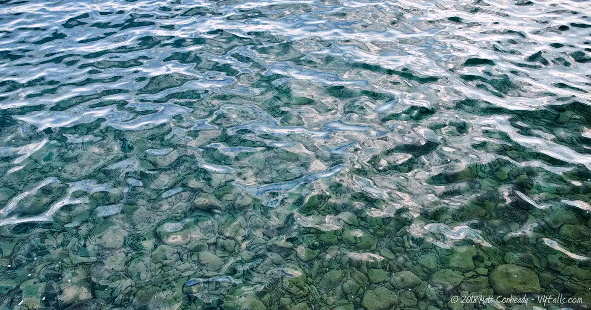
Description: While it is not on the lake, this new 303-acre natural preserve spans several small gorges (with waterfalls) and provides beautiful views of the lake from the hillside above.
Season/Hours: Year-round, dawn until dusk.
Directions: Located at the southeast end of the lake off of NY-41, just south of Spafford. Google Maps.
Parking: Turn onto Covey Rd and follow it to the end at a parking lot. There’s room for about a dozen cars.
Best time to visit: Spring and fall.
Pets: Allowed on a leash.
Admission: Free.
Handicap accessibility: None.
Swimming: No beach
Boat Launch: None.
Accommodations: Trails, bird-watching, informational signs, waterfalls.
Contact: Finger Lakes Land Trust: (607) 275-9487; [email protected]
Map: Trail map.
Ripley Hill Nature Preserve
Description: Uphill from the Hinchcliff Family Preserve is this beautiful 109-acre preserve. While far from the lake, there are a few spots that offer grand views of the bright blue water from afar.
Season/Hours: Year-round, dawn until dusk.
Directions: Located at the southeast end of the lake off of Ripley Hill Rd, just south of Spafford. Google Maps.
Parking: Park on the side of Ripley Hill Rd near the trailhead, or park at Hinchcliff Family Preserve’s parking lot head back up to and across NY-15 and follow the trail uphill and into Ripley Hill Preserve.
Best time to visit: Year-round.
Pets: Allowed on a leash.
Admission: Free.
Handicap accessibility: None.
Swimming: No beach
Boat Launch: None.
Accommodations: Trails, bird-watching.
Contact: The Central New York Land Trust: (315) 575-8839; [email protected]
Dickenson Conservation Area
Description: The Cora Kampfe Dickinson Conservation Area has 1,350 ft of shoreline on the eastern side of the lake, including what are locally known as the “Staghorn Cliffs,” a paleological site flush with staghorn coral fossils. The preserve also features some woodland along the hill and several waterfalls. Access is by boat only.
Season/Hours: Year-round, dawn until dusk.
Directions: Access is by boat only. There are no roads or docks. It’s best to get there by paddling from the south end of the lake.
Best time to visit: Spring and fall.
Pets: Allowed on a leash.
Admission: Free.
Handicap accessibility: None.
Swimming: Not allowed.
Boat Launch: None.
Accommodations: None.
Contact: Finger Lakes Land Trust: (607) 275-9487; [email protected]
High Hickory Wildlife Sanctuary
Description: Another wildlife preserve along the late that, while beautiful, does not offer direct access to the lake. Still, it is worth mentioning because it does have a few small waterfalls.
Season/Hours: Year-round, dawn until dusk.
Directions: Entrance to the trail is off of Richard Rd (CR-72). Map.
Parking: Roadside on CR-72.
Best time to visit: Spring and fall.
Pets: Allowed on a leash.
Admission: Free.
Handicap accessibility: None.
Swimming: Not allowed.
Boat Launch: None.
Accommodations: None.
Contact: The Central New York Land Trust: (315) 575-8839; [email protected]

More Finger Lakes Guides
Explore more of New York’s Finger Lakes parks, beaches, nature trails, waterfalls and more in our handy guides.
Fishing Information
Common species
Rainbow trout; lake trout; yellow perch; chain pickerel; largemouth bass; smallmouth bass; panfish; walleye; brown trout; landlocked salmon.
Best fishing spot
Along Grout Brook and the north end of Scott Park in the town of Scott (south end of the lake). Expect a lot of bullhead, panfish and pickerel.
Fishing conditions
For current fishing information a fishing hotline is available at Central New York Fishing Hotline or by calling (607) 753- 1551.
Nearby Waterfalls
Interesting Stuff
Village of Skaneateles
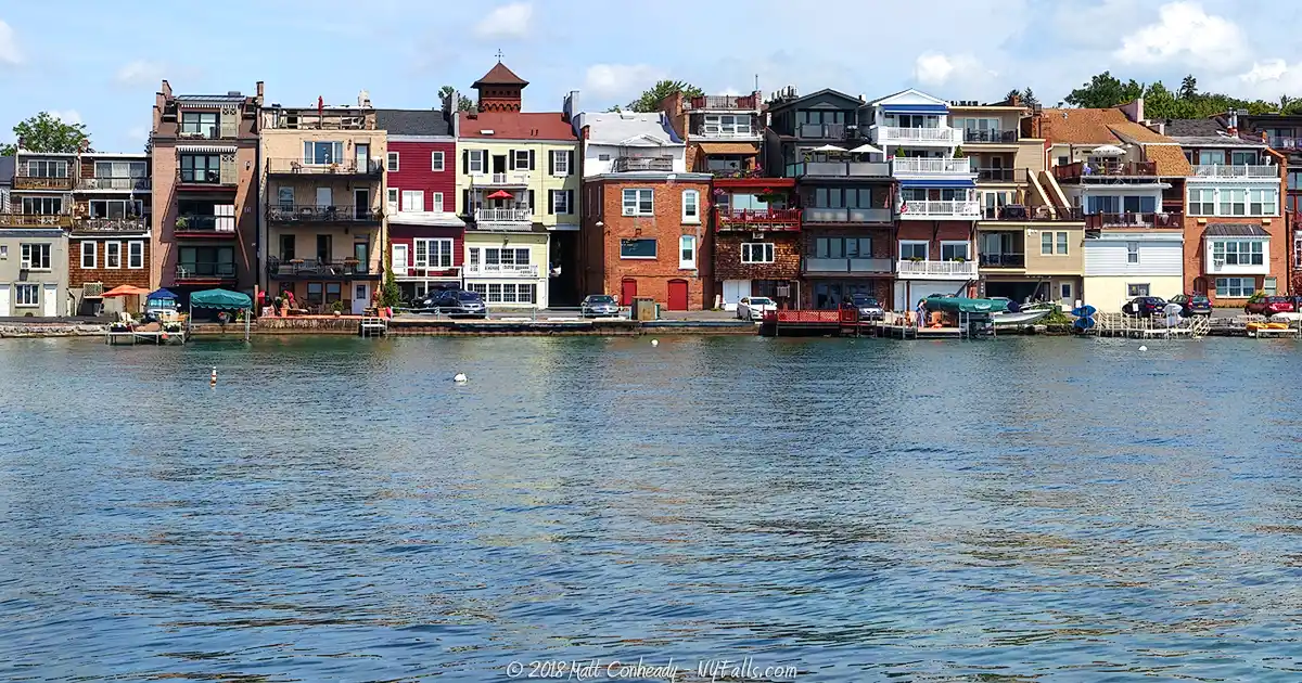
This historic town is the main draw for many visitors in the area. Buildings from the late 1790s onward have been restored and converted into shops and restaurants. The village enjoys a robust tourism industry, although by maintaining its small-town flavor, it barely shows. Every holiday season the Dickens’ Christmas Festival takes place, where the community takes on Dickens-era décor and personality and the visitors flood in to interact with the village’s cast of characters.
Clean Water
Water from Skaneateles Lake is not filtered for distribution into the Syracuse area. Since the lake is oligatrophic (offers little to sustain life), the lack of biological systems (specifically bacterial) contributes to the cleanliness of the lake water.
Sherwood Inn
Built in 1807, this beautiful blue inn and restaurant was originally a stagecoach stop for pioneer travelers crossing the state. It was built by Isaac Sherwood and Winston Day. The Inn has been in operation in many forms and through many owners for over 200 years.
Mid-Lakes Navigation
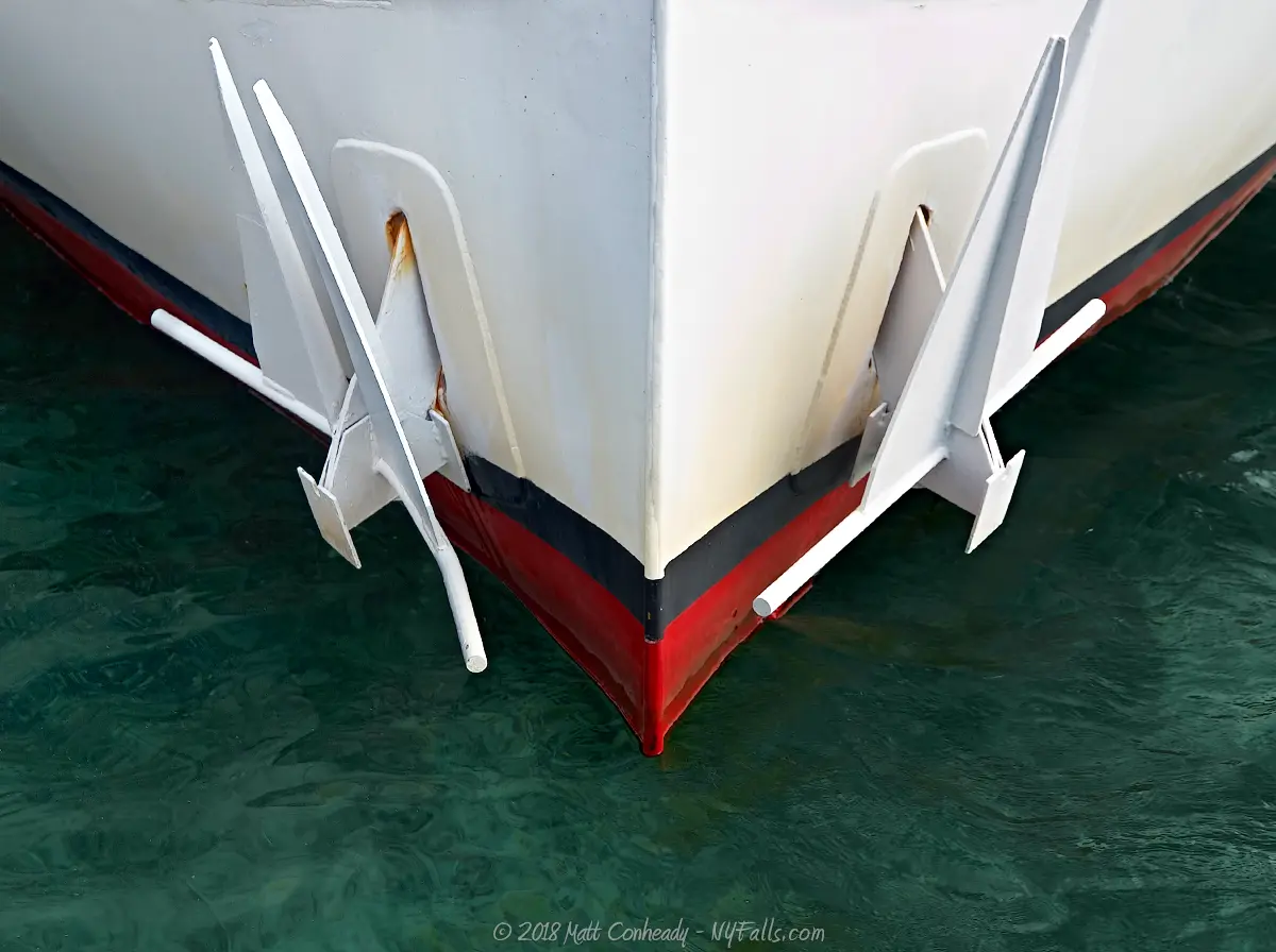
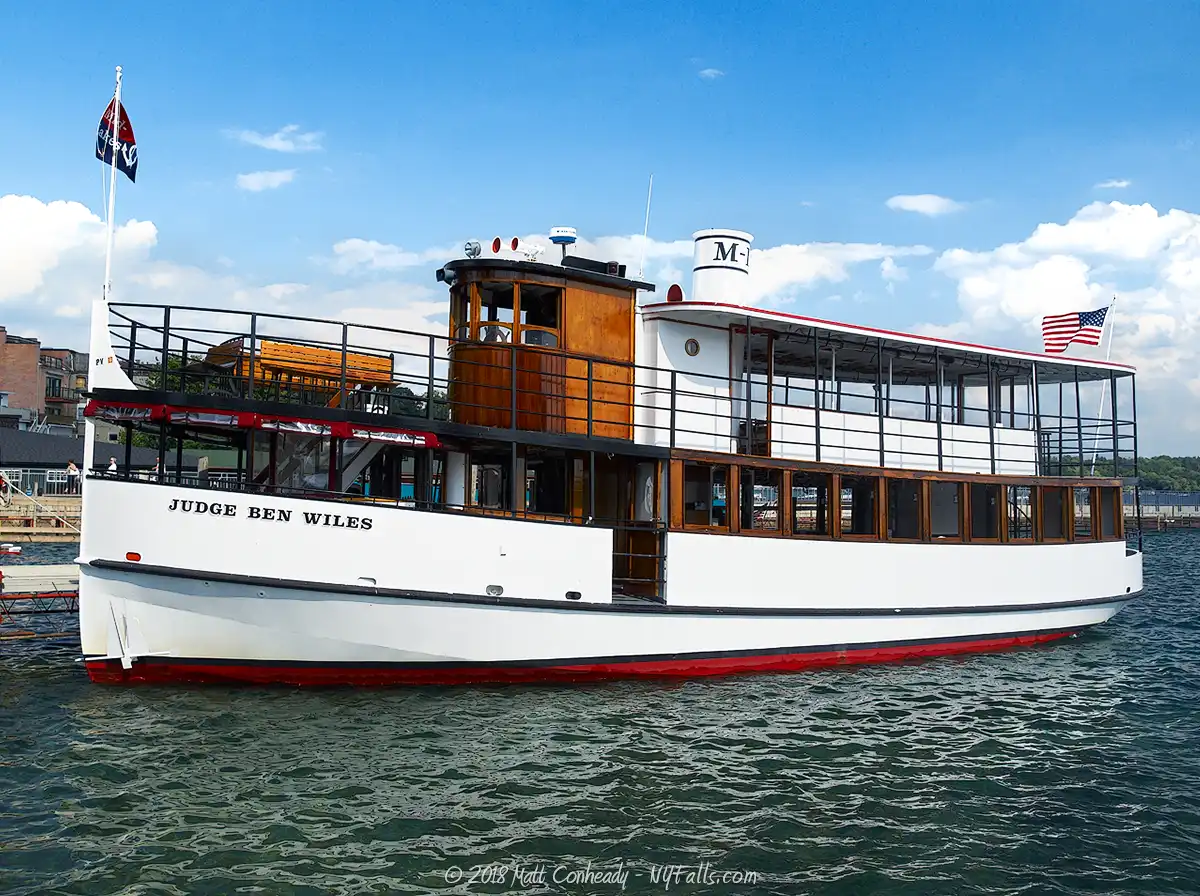
Mid-lakes Navigation provides guided tours, dinner & cocktail cruises, and beautiful sights on the Judge Ben Wiles, a ship that has been serving the business for over 25 years, not just carrying tourists, but also delivering mail and parcels to lakeside residents. Website.
Who to Contact
General water concerns:
NYSDEC Region 7 Fisheries
1285 Fisher Ave.
Cortland, NY 13045
Phone: (607) 753-3095
E-mail: [email protected]
State boat launches/access
NYSDEC Region 7
615 Erie Blvd., West
Syracuse, NY 13204
Phone: (315) 426-7403
E-mail: [email protected]
