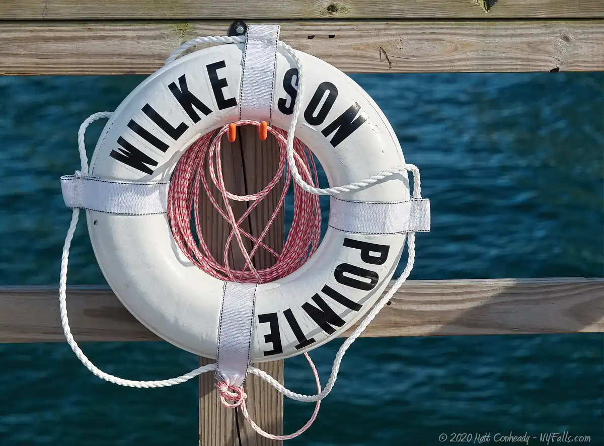
Wilkeson Pointe Park
Location: On the northeast end of Lake Erie; within the Buffalo Outer Harbor; City of Buffalo; Erie County; New York.
Maps: Google map; Topographic); Interactive map
GPS Coordinates:
- Entrance: N 42.87125 / W 78.88001
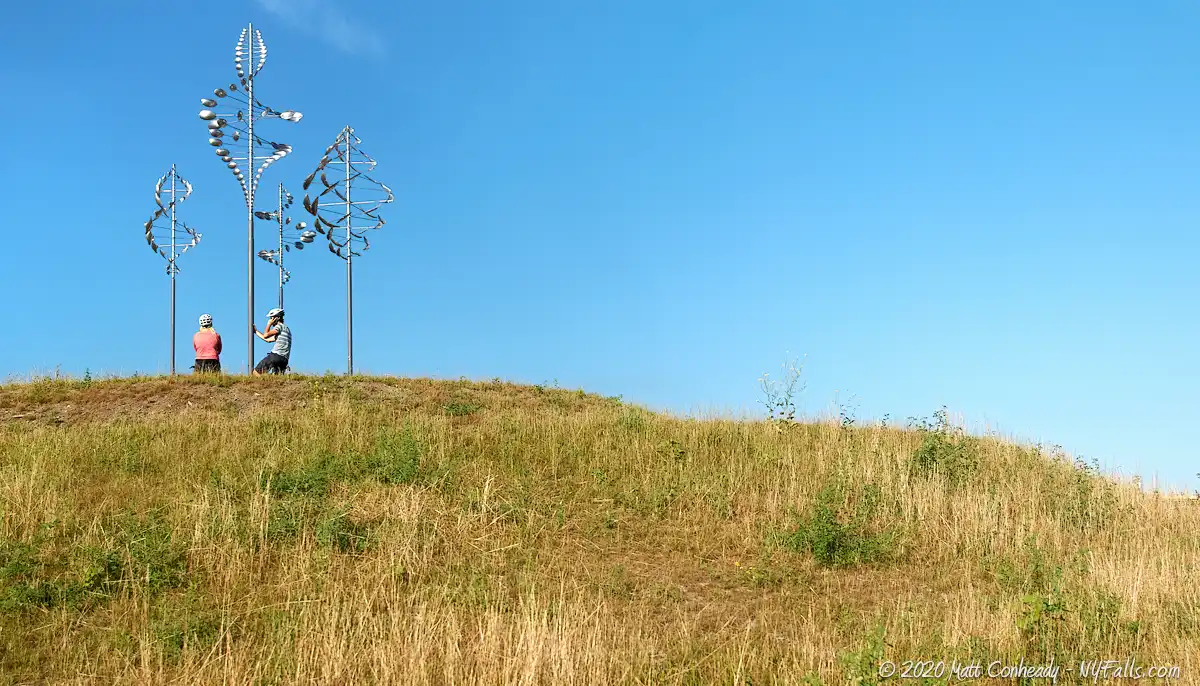
- Hill with wind art: N 42.87033 / W 78.88415
- Kayak launch dock: N 42.87061 / W 78.88200
Directions: From Buffalo (north): Take the Buffalo Skyway (NY-5) south to Outer Harbor Drive/Fuhrmann Blvd. Look on the left for the building with “Wilkeson Pointe Park” sign on it.
From Erie/Dunkirk (south): You can follow NY-5 (Lakeshore Rd.) north into Buffalo and straight to the Outer Harbor. Look on the left for the building with “Wilkeson Pointe Park” sign on it.
Use Google Maps.
Parking: Roadside parking is available up and down Fuhrmann Blvd. Within this park itself there are a dozen or so spots, although it fills quickly.
Weather
Information / Accessibility / Accommodations
Seasons/Hours: Open year-round. Dawn to Dusk.
Admission: Free.
Best time to visit: Spring through summer.
Time: A walk around the park will take you 30 minutes. Bring the kids, bring a picnic, and some fishing poles and stay for a while. Combine it with the other nearby parks and make it a day.
Handicap accessibility: Yes, on the paved trail.
Pets: Allowed if kept on a leash, which is the law in Buffalo. Bring bags to clean up after. During summer, water dishes are provided for animals.
Swimming: There is a beach, but swimming is not allowed, and because of water conditions, not advised. Swimming is planned, but water quality has to be addressed first.
Boat launch: Kayak/canoe boat launch only. For larger craft, use the boat launch at the Erie Basin Marina.
Accommodations: Restrooms; water fountains; bike trails; walking paths; beer bar and snack counter (Memorial Day through Labor Day); public art; grass field; fishing. Nearby parks offer other accommodations.

Description
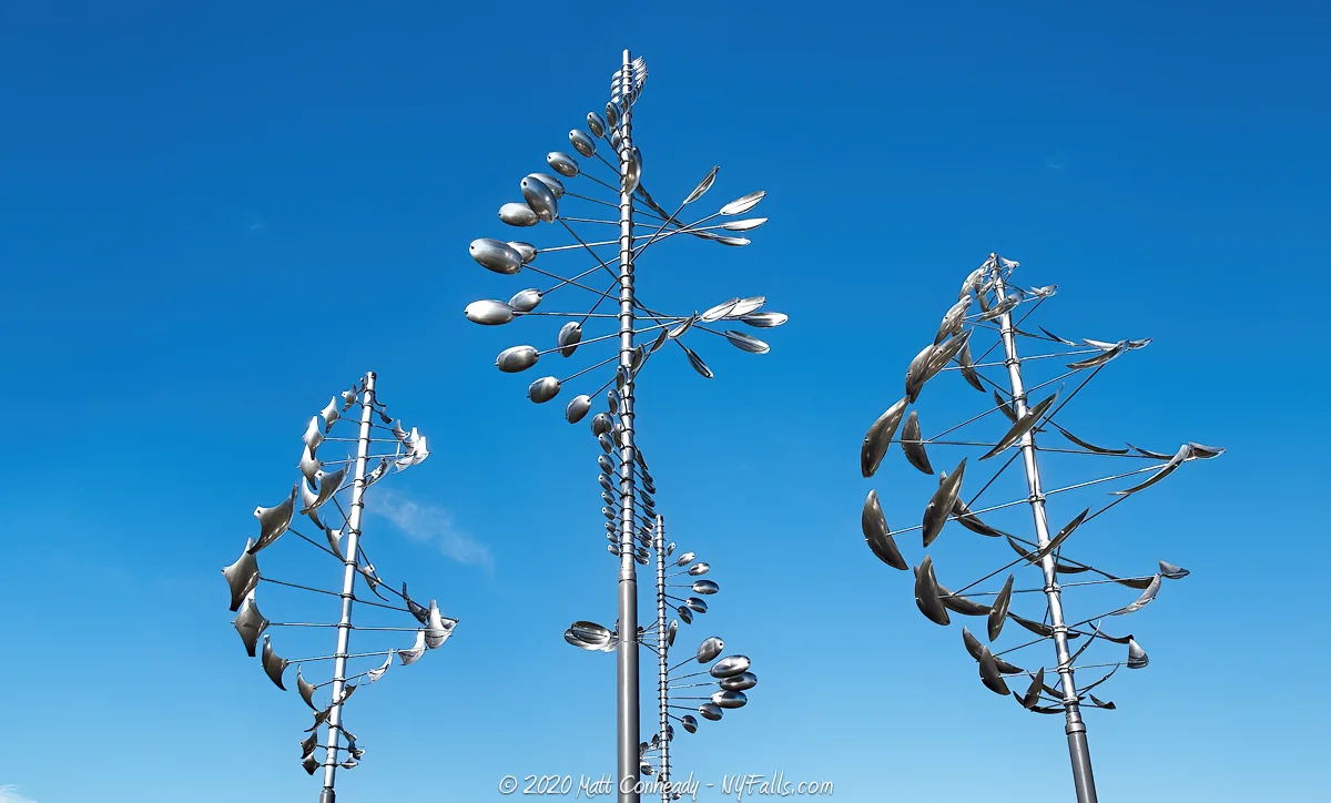
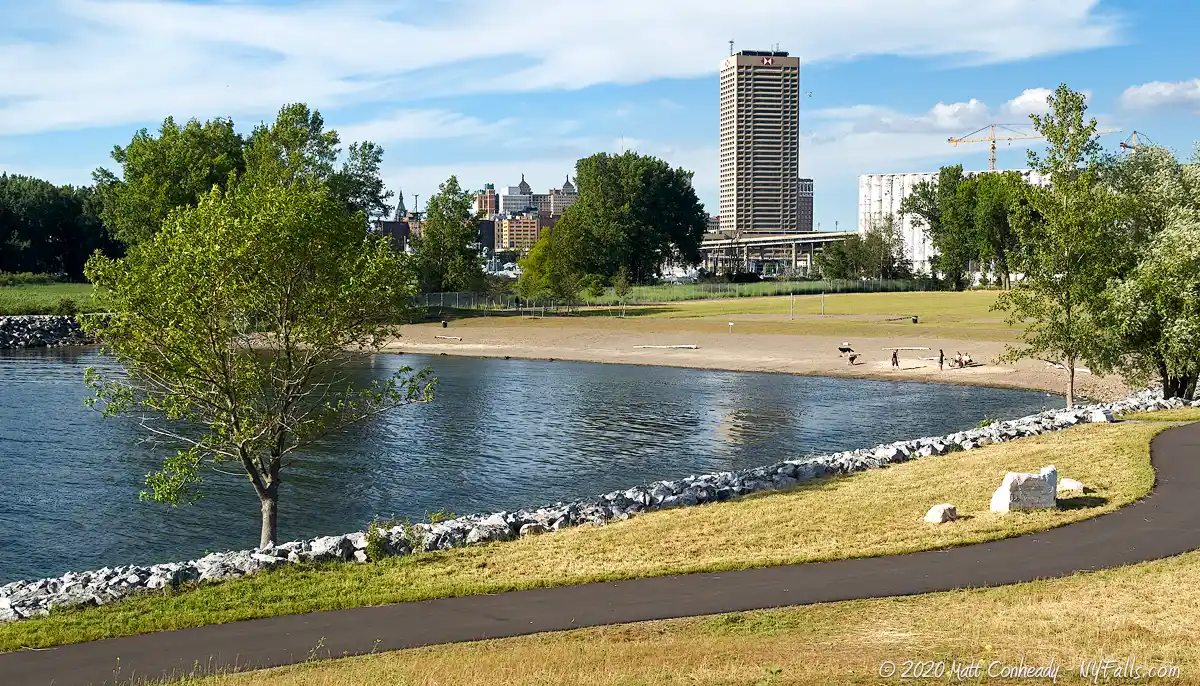
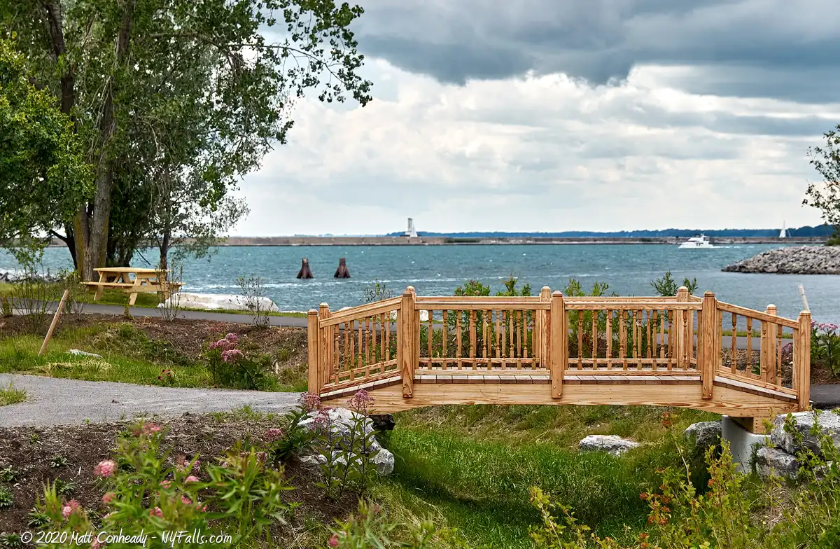
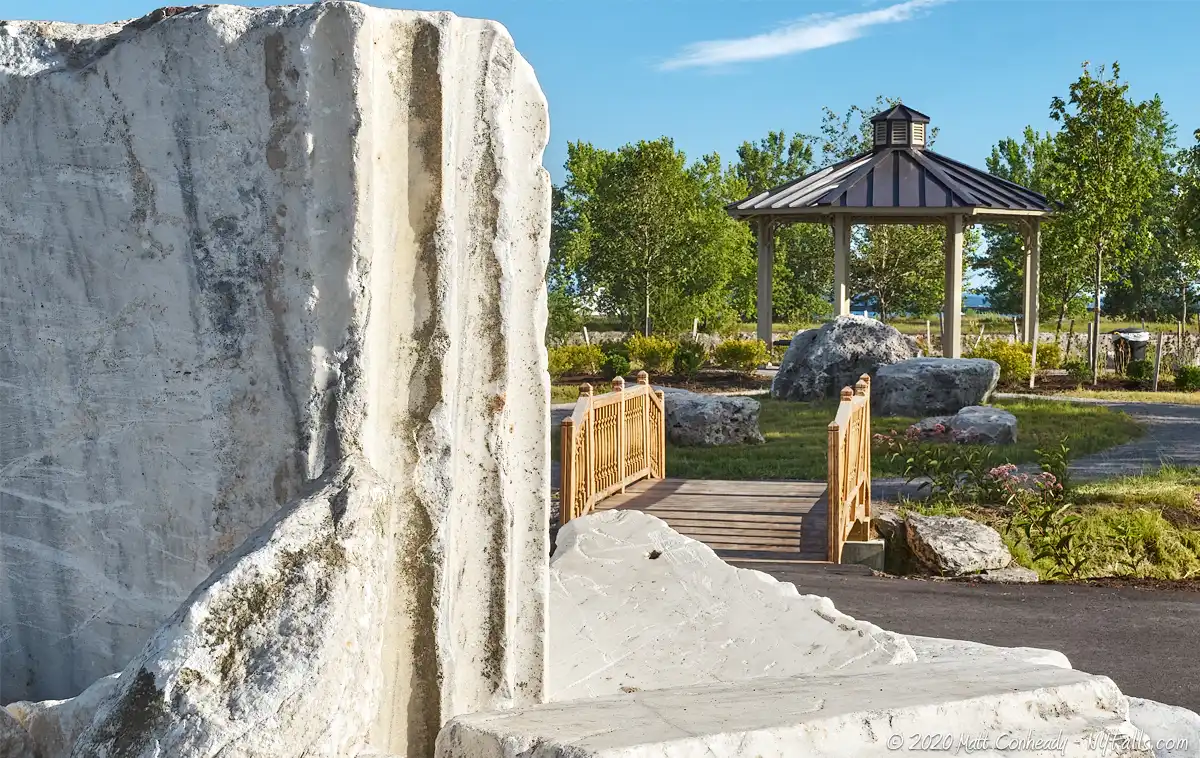
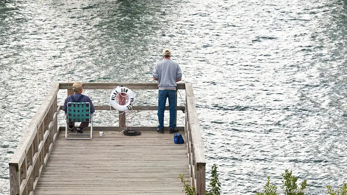
Recently an overgrown and unused sliver of land along the outer harbor, this former Power Authority storage area has been transformed into one of the most beautiful parks in the region. Adorned with ornamental wind catchers, flowers, brand new paved pathways, slides for the children to play on, a gazebo, and spotted with marble ruins of an old structure once buried here, it’s no surprise that it’s hard to find Wilkeson Pointe empty on any given day. Travelers on the Outer Harbor Trail (up and down Fuhrmann Blvd) stop in for a rest, families spread out a picnic basket on the lawn near the beach, and a few old and young men took over the small dock to cast lures.
The 14 acre park, just opened in June of 2013, has a beach, made from a former slip. Water quality concerns prevent swimming, but it is something the city wants to implement when the conditions are right. That doesn’t hurt the appeal of Wilkeson Pointe, so named for the builder of the seawall that formed the outer harbor. It is beautifully landscaped, with greenery, art, and artifacts, and the smooth paved path allows cyclists and pedestrians to see all the park has to offer in a few minutes, while grassy lawns, play areas, and beautiful views invite them to stay longer. And this is just the beginning: another 6 acres are set aside for future development.

History
The first inhabitants of the eastern Erie shoreline were Native Americans, with the Seneca tribe of the Iroquois Confederacy controlling this “western door” of their territory. In 1797 the Holland Land Company purchased much of Western New York from the Seneca, and that block of land was divided and resold, with plans for the village of Buffalo as a port city beginning as early as 1801. An 1805 act of Congress created the port at Buffalo, which initiated a long history of development along the Erie and Niagara shoreline. Little of what exists today is an original feature of the lake, but one thing we do know, is that much of this shoreline was originally a wetland and a critical stopover for migratory birds as they journeyed across the Great Lakes.
Buffalo’s Outer Harbor changed drastically while improvements to the Inner Harbor were made as the Erie Canal became the centerpiece of eastward shipping. The Buffalo River often filled with sediments making navigation in and out of it difficult. The river outlet was dredged and the south seawall was built in 1867. It prevented sand and mud from building up in the river, and instead it built up along the seawall, creating a beach. This new strip of land became a shanty-town known as “Seawall Beach”, inhabited by Irish and other immigrant port workers and their families. Records show it was a rowdy and nearly lawless neighborhood, with harsh living conditions and high death rates due to storm surges.The city was eager to get rid of it. With the Outer Harbor developing along with Buffalo’s growing shipping and grain industries, the shanty-town was dismantled and the space utilized for industry. A rail line was built along the sandbar in the 1920s to service grain elevators and docked ships along the seawall.
As Buffalo’s shipping industry began to wane during the Great Depression, industry and traffic along the Outer Harbor diminished and much of it went unused. This particular property was owned by the New York Power Authority and used to store salt, and then Niagara River ice boom in the off season. It was opened as a community park in June of 2013.
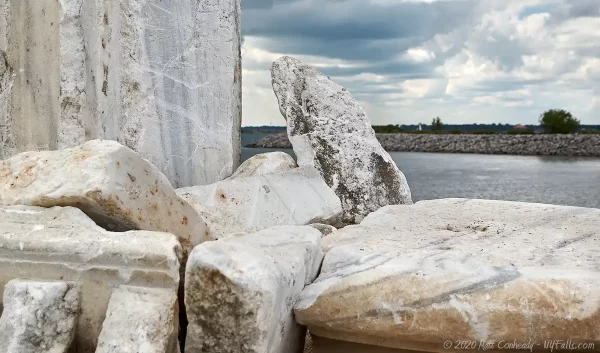
Through the park, white marble ruins add a mysterious character. From some ancient Roman temple, perhaps? They actually were unearthed during construction. The old M&T Bank was constructed on the corner of Main and Swan Streets in 1913. It was later demolished and used as fill in the harbor. Fragments of marble unearthed when constructing the new park were incorporated into the design
Hiking / Walking Trails
Difficulty: Easy
Distance: Several hundred feet.
Markings: Follow the paved pathway.
Description: There’s not much to this park. It is beautifully landscaped, but relatively small. A paved pathway (which is shared with cyclists) winds from the entrance, around and up a small hill, and back to the entrance.
Map: See the interactive map.
Wilkeson Pointe Park Interactive Map
Fishing
Fishing is allowed at Wilkeson Pointe Park. Fish from the kayak launch dock at the south end of the park.
Interesting Stuff
Across the slip
On the other side of the slip to the south is a parcel of unused land with an overgrown path running up the center. We saw several people fishing from this area in the summer.
The Outer Harbor Trail
This trail, that parallels Fuhrmann Blvd, runs over 4 miles along the Outer Harbor from Lighthouse Point Park at the Coast Guard Station to the Union Canal at Stony Point, Lackawana. Along the way are six parks, preserves, or green spaces you can visit.
The Great Northern Grain Elevators
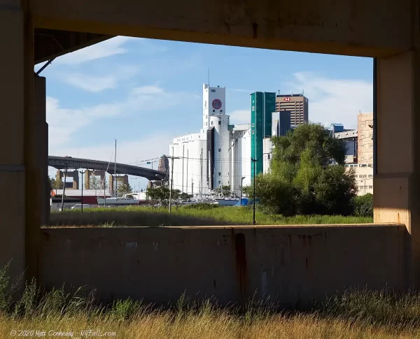
Across Fuhrmann Blvd, and past the Buffalo Skyway, are two large historic grain elevators. To the north east, the large white structure, is the General Mills Grain Elevator. It was originally constructed beginning in 1903 by the Washburn Crosby Company, when the storage bins and the first elevator were built. A major addition of another grain elevator was made in 1909. The original elevator was replaced in 1866, and the second elevator was dismantled in the 1960s. General Mills also built a large warehouse in 1922. They continue to operate the elevator, producing cereals and flours.
The rusted brick and steel building to the south is the Great Northern Grain Elevator. Constructed in 1897, it was the first elevator of its kind to run on electric power alone, and it was the largest, capable of holding 2.5 million bushels. It was the last of the working house grain elevators built in the US, one that operates totally within one box-like structure. More modern elevators have distinct sections built specifically for their function. The building was once owned by the Pillsbury company. In the 1980s it was set for demolition, but an effort to conserve this historic landmark prevented its destruction. The elevator, now owned by Archer Daniels Midland, is largely used for storage.
Photography Tips
Sunsets
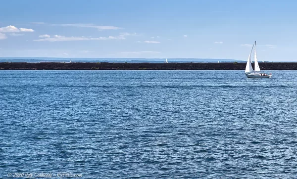
- The eastern shore of Lake Erie is ideal for sunsets. The Buffalo waterfront is a great place to catch boats, birds and the interesting seawalls in the frame to keep those sunset photos interesting.
- Include the wind scultures, chapel ruins, and other landscaping features of the park in the foreground of your sunset photos.
Birding
- Don’t forget that long lens. This is a prime spot for birding.
- During the spring and fall migrations, get here early for more bird traffic and less people traffic.
More tips
- See the Articles and Message Board sections for more photography tips.

Nearby Waterfalls
More Lake Erie Parks & Beaches
Find a new summer hangout spot or place to swim in our comprehensive guide to Lake Erie Parks and Beaches in New York State.
Who to Contact
City of Buffalo
Phone: (716) 851-9670
ci.buffalo.ny.us
Consumer’s 225 Beer Garden at Wilkeson Pointe
Menu / Hours


