
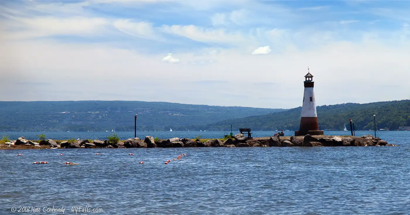
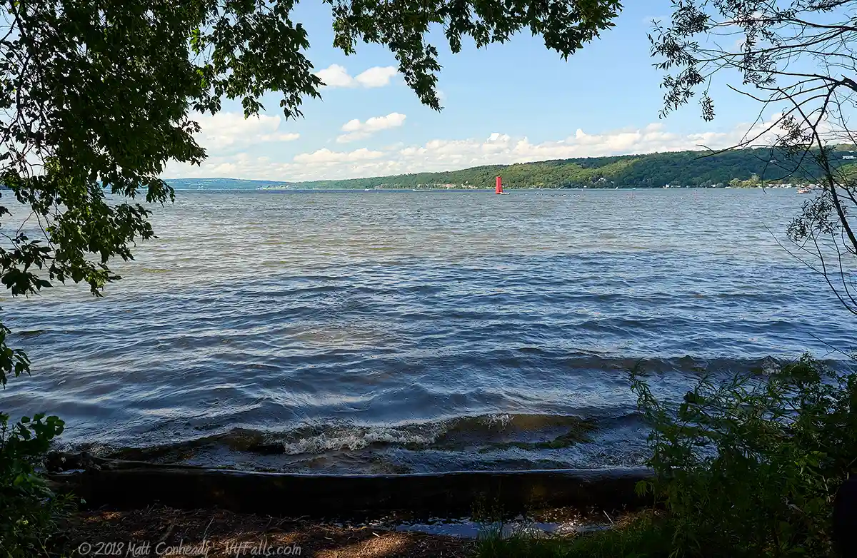
Cayuga Lake


Location: Seneca, Cayuga, and Cortland counties, New York.
Surrounding Communities: Aurora, Interlaken, Ithaca, King Ferry, Seneca Falls, Trumansburg, Union Springs
Maps: Google Map, Topographic, Contour, State Park Map
GPS Coordinates:
- Seneca River Canal / Erie Canal Junction / Northern Outlet: N 42.94310 / W 76.73573
- Southern tip / Cayuga Inlet: N 42.45924 / W 76.51154
- Frontenac Island: N 42.84327 / W 76.70710
Size:
- Area: 42,956 acres
- Length: 40 miles
- Max width: 3.5 Miles
Max depth: 435 feet.
Volume: 2.5 trillion gallons.
Water Quality: Okay.
Elevation: 382 feet.
Directions: NY-89 runs along the West side of Cayuga Lake while NY-90 and NY-34B line the East side. Take the Seneca Falls exit from the Thruway and follow the signs. For directions to specific public areas, see the accessibility section below.
Weather
Description / History
Pronunciation: “Kai-Yoogah.” From the Iroquois name meaning “boat landing.”
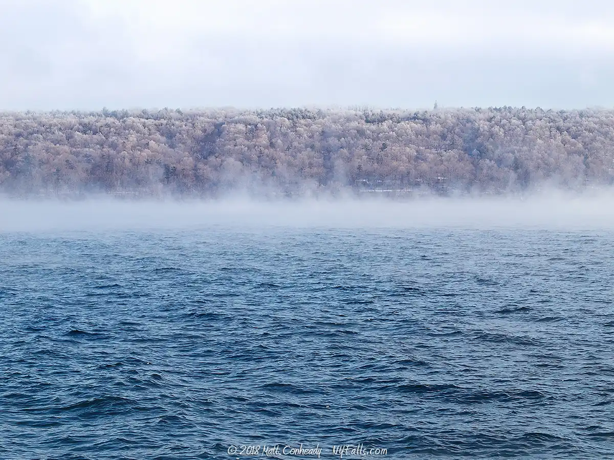
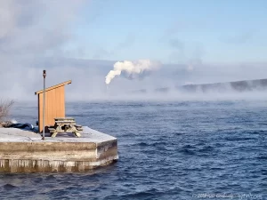
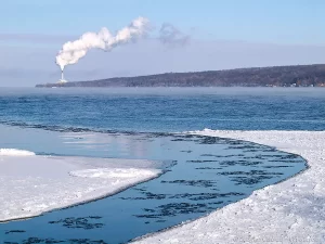
The longest of the Finger Lakes and second largest in area, Cayuga Lake is also the closest to sea level. Its waters are regulated by Mud Lock at the northern end, which helps prevent flooding and coastal ice damage. Although the majority of the lake is too deep to freeze over in winter, the southern end is much shallower and will often get a coat of ice.
The northern tip is capped by vast marshland, the majority of which is designated as the Montezuma National Wildlife Refuge, an ecologically important wetland for water quality and bird migration. This wetland area serves as both a natural water filter and an important breeding ground for waterfowl. Despite this important natural area, the northern end has a long history of public works projects. Locks, railways, highways and canals are all adjacent to this northern tip and contribute greatly to water quality and aesthetic concerns.
The Seneca River Canal was developed to connect the northern tips of Seneca and Cayuga Lakes to the NY State Barge Canal system. Despite the obvious mixing of foreign waters and increasing the opportunity for invasive species, this system granted access to the two large, isolated Finger Fakes with the rest of the state.
At the southern end, you’ll find the booming city of Ithaca, home to Cornell University and Ithaca College. An upstate ‘mecca’ for culture, diversity and nature. The convergence of numerous gorges into the Cayuga Inlet within Ithaca, give this city a beautiful atmosphere and an abundance of natural recreation opportunities.
The rolling hills that isolate the Finger Lakes are optimal for agriculture. With temperate climates, nutrient-rich glacial soil and readily available freshwater, the surrounding land has become a hot-bed for grape cultivation. The conditions present between Seneca and Cayuga in particular are ideal for this type of agriculture. The two lakes host some of the nation’s premier wineries and the area is benefiting greatly from tourism.
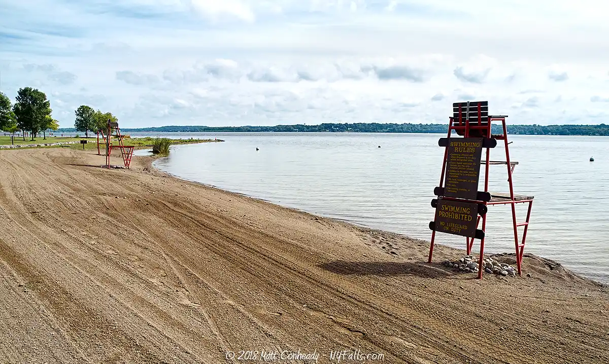
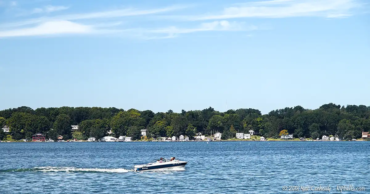
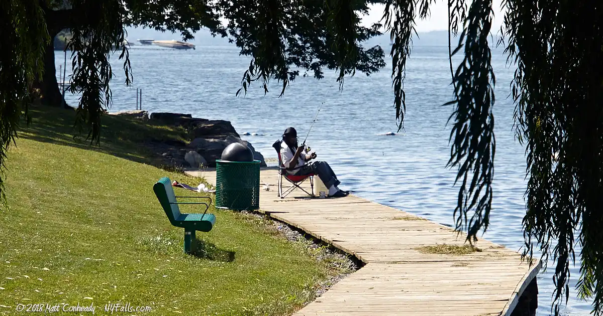
The lake’s calm and productive waters have also made it popular for sport and recreation. The coast and surrounding hills are dotted with homes and cottages. Boating and fishing are popular activities, with fishing derbies abundant and small sport-craft a common sight. Yacht clubs and private marinas can also be found along the coast, demonstrating the area’s passion for this calm, miniature sea. The many public beaches along the shore offer visitors the opportunity to swim or fish in the lakes cool waters.
Beyond recreation, the lake is also used as a source of freshwater and cooling. Using lake-source-cooling methods, industries and businesses, such as Cornell University, pump the lake’s naturally cool waters to use as a heat sink to cool buildings and machinery.
The combination of plentiful surrounding agriculture, development, industrial and recreational use as well as illegal dumping has put the water quality at risk. Since the lake’s waters do not cycle as fast as the smaller lakes, the natural cleaning process is beginning to have less of an impact. Efforts are currently underway to improve the water quality of Cayuga Lake.
Cayuga Lake Parks / Beaches / Access Points
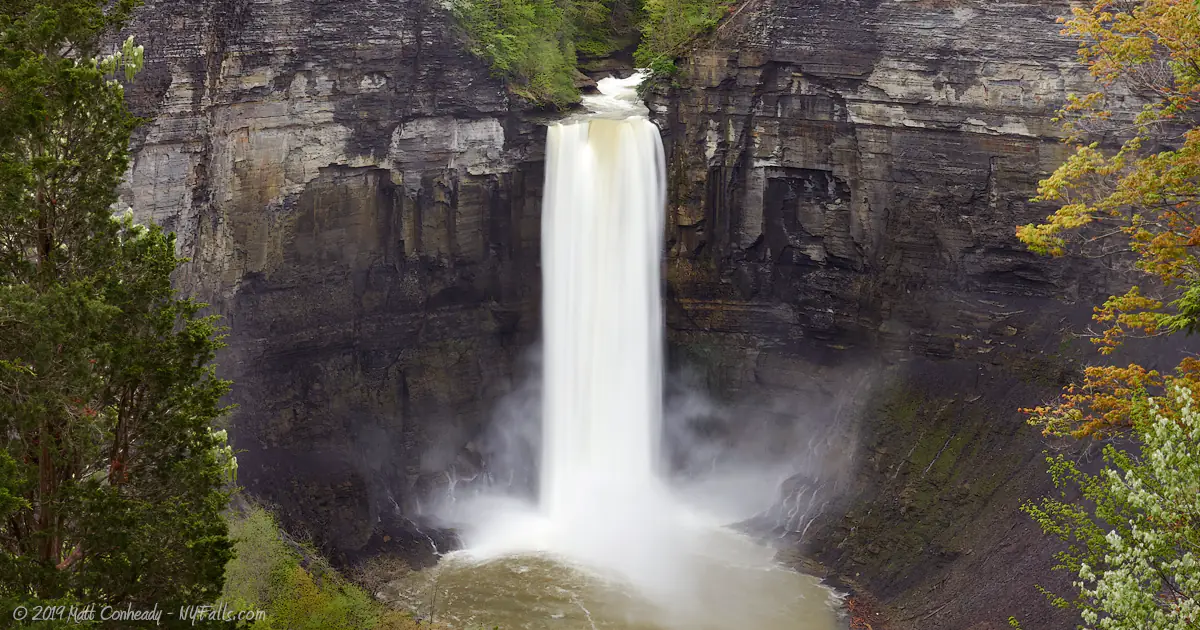
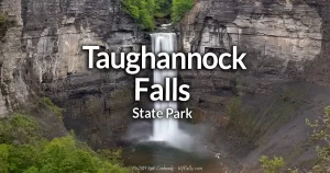
Taughannock Falls State Park
Description: Hike to the 215 ft high falls and then cool off in the refreshing waters of Cayuga Lake. The east end of this park is a nice grassy stretch of lakefront property that offers a great view and an opportunity to boat and swim in the lake. The west side of the lake is a large gorge with huge waterfalls, surrounded by nature trails. There are plenty of accommodations at this park to help make it one of the most popular picnic destinations in the Finger Lakes. More information can be found in our Taughannock Falls profile.
Seasons/Hours: Year-round, from dawn to dusk.
Directions: Southwest end of the lake. On Rt 89, 8 miles North of Ithaca. Google Maps.
Parking: There is one lot on the west side of the road and then several lots on the east (lake) side.
Best time to visit: Spring through fall.
Pets: Allowed, on leash, with proof of inoculation. Not allowed in the swimming area. Not allowed on the gorge or rim trails. It is dangerous. Don’t bring them for the safety of you, your pet, and other hikers.
Admission: $9 vehicle entrance fee.
Handicap accessibility: Yes, on the lakeside.
Swimming: Allowed in the designated swimming area when lifeguards are on duty. Swimming is open from Memorial Day weekend through Labor Day.
Boat Launch: There is a concrete ramp on the east side at the marina.
Camping: Electric, non-electric, and cabins available. Camping season begins from mid-May and runs to mid-October. Make a reservation here.
Accommodations: Restrooms; benches; picnic tables; grills; fishing; hunting; trash; concession stand; pay telephone; canoe rentals; nature trails; x-country skiing; designated bike path; pavilions; showers, waterfalls.
Contact: NY State Parks: (607) 387-6739
Map: Trail Map; Park Map; Campground Map; Interactive Map
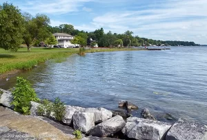
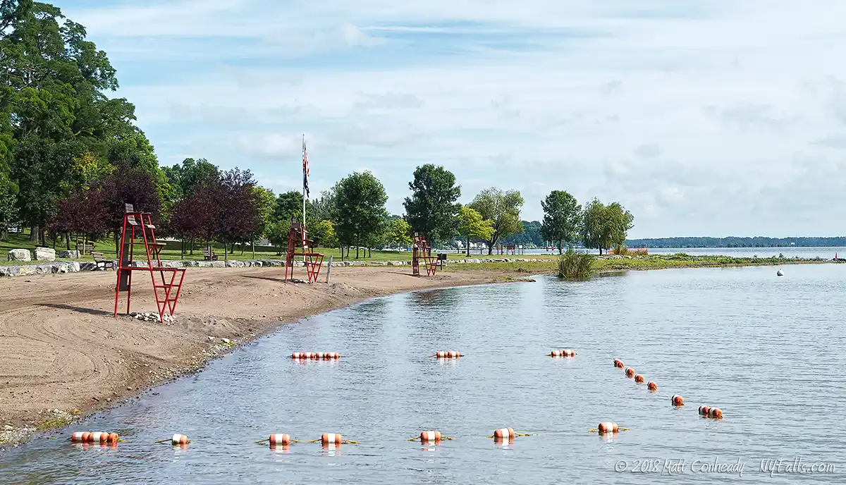
Cayuga Lake State Park
Description: Offering what is arguably the best view of Cayuga Lake, this state park in Seneca Falls, NY offers all the accommodations expected of a first-class state recreation area. The flat beach offers swimmers and anglers unrivaled access to the lake, and the rolling hills to the east give the campgrounds an excellent view. Even in winter, the park is popular, offering up such activities as sledding, skiing and ice fishing. Golf next door at the Seneca Falls Country Club.
Seasons/Hours: Open year-round, from dawn to dusk.
Directions: Northwest side of the lake. 1 mile east of Seneca Falls. Off of Rt 89, Google Maps.
Parking: There are a few lots within the park. The largest is off of County Road 116 (Lower Lake Road).
Best time to visit: Summer swimming and picnicking season. Long into a freezing winter to gain access to the frozen end of the lake.
Pets: Allowed, on leash, with proof of inoculation. Not allowed in the swimming area.
Admission: $7 vehicle entrance fee May through September.
Handicap accessibility: Yes, some of the park facilities are.
Swimming: Allowed in the designated swimming area when lifeguards are on duty. Swimming is open from Memorial Day weekend through Labor Day.
Boat Launch: Two concrete ramps off of Garden St ext. Launch fee is $7. Open May to September.
Camping: Electric, non-electric, cabins, and a lakefront cottage available. Camping season begins from mid-May and runs to mid-October. Make a reservation here.
Accommodations: Restrooms; pavilions; cottage rental; showers; picnic facilities; playing fields; playground; fishing; ice fishing; trails; x-country skiing; sledding; picnic tables.
Contact: NY State Parks: (315) 568-5163
Maps: Camping Map – East; Camping Map – West; Park Map.
Allen H. Treman State Marine Park / Cass Park
Description: Located in Ithaca, it’s one of the largest inland marinas in the state, this park boasts beautiful scenery and excellent lake access for boaters and fishermen. The launch is located on the inlet just before the lake. Neighboring Cass Park, a city of Ithaca property offers visitors playing fields and more accommodations. The latest highlight of are the resident Ospreys who’s nests easily observable from the trail loop at the Marine Park.
Seasons/Hours: Marina open from May 1st until the third Sunday in October. Transient slips are available from May 1st until the third Sunday in October.
Directions: South end of the lake. In the city of Ithaca. Off of Rt 89, Google Maps.
Best time to visit: Summer weekdays (when it’s not too busy).
Parking: Plenty of parking for cars and trailers in the state park. Several small lots in Cass park off of NY-89.
Pets: Allowed, on leash, with proof of inoculation.
Admission: State Park Boat Launch: $7, 8 a.m. – 4 p.m. Weekends only.
Cass park admission for is free, but the ice skating rink and swimming pool carry fees.
Handicap accessibility: Yes.
Swimming: Not allowed.
Boat Launch: 4 concrete ramps and a fully equipped marina.
Accommodations: Restrooms; fishing; trails; picnic tables.
Cass Park offers an ice skating rink and swimming pool (fees charged); exercise track; picnic facilities, tennis courts; ball fields; fishing access; pavilion.
Contact: NY State Parks: (607) 273-3440 or (607) 272-1460; Ithaca Parks: (607) 273-1090
Maps: Allan H. Treman Park map; Cass Park athletic field map.
Long Point State Park
Description: A popular swimming and water sport location in Aurora, NY. Located on a small peninsula, this park offers spectacular views of, and top-notch access to, Cayuga Lake. When the weather gets hot, this small park gets crowded.
Seasons/Hours: Year-round, from dawn until dusk.
Directions: East side of the lake (in the middle). Off Rt 90, 4 miles south of Aurora. Google Maps.
Parking: Plenty of parking available in the 3 lots within the park.
Best time to visit: Summer for swimming. Fall for the cottage rental.
Admission: $7 vehicle entry fee. Collected on weekends from May to the first week of October, but daily in most weeks during June and July.
Pets: Allowed, on leash, with proof of inoculation. Not allowed in the swimming area.
Handicap accessibility: Yes, most facilities are.
Swimming: Allowed in the designated swimming area when lifeguards are on duty. Swimming is open from Memorial Day weekend through Labor Day.
Boat Launch: 2 concrete ramps for trailer launching.
Camping: A single cottage is for rent. Rates begin at $112.50/night with a 2-night minimum. Call to reserve it.
Accommodations: Restrooms; benches; picnic tables; fishing; trash bins; pavilions; playground.
Contact: NY State Parks: (315) 497-0130.
Map: Park Map.
Frontenac Park
Description: The village of Union Springs hosts this small park on the east shore of the lake. You can easily see Frontenac Island from this location. The park also boasts a public beach. Lifeguards are on duty July through August, 7 days a week in the summer season.
Seasons/Hours: Year-round, from dawn to dusk.
Directions: North East side of the lake. Chapel St off of NY-90, Google Maps.
Parking: Plenty of parking can be found in the lot where Creamery Rd meets Chapel St.
Best time to visit: Summer weekdays.
Pets: Not allowed.
Admission: Free.
Handicap accessibility: Not the lakefront.
Swimming: Allowed in the designated swimming area when lifeguards are on duty. Swimming is open from Memorial Day weekend through Labor Day.
Boat Launch: 2 concrete ramps for trailer launching.
Accommodations: Pavilion; restrooms; fishing; picnic tables; swimming lessons; craft workshops; basketball court; playing fields
Contact: Union Springs Parks: (315) 889-7265
John Harris Park
Description: Located in the village of Cayuga, this sliver of a park offers swimming, fishing, and a small boat launch and floating dock. This location is excellent for sunsets over the lake.
Seasons/Hours: May through October, from dawn to dusk.
Directions: Southeast side of the lake, on Railroad St. off of Genesee St in the village of Cayuga. Google Maps.
Parking: Park in the small lot at the end of Railroad Street near the village office.
Best time to visit: Summer weekdays.
Pets: Allowed, on a leash.
Admission: Free.
Handicap accessibility: Yes.
Swimming: Allowed in the designated swimming area when lifeguards are on duty. Swimming is open from Memorial Day weekend through Labor Day.
Boat Launch: Hand launch only.
Accommodations: Swimming; fishing; restrooms; picnic tables; historic markers.
Contact: Village of Cayuga: (315) 252-1707; [email protected]

Myers Park
Description: This small peninsula was formed by Salmon Creek sediment deposits as it emptied into the lake. The Myers Point sand bar is an excellent bird watching location. This park spans 31 acres and includes a marina, swimming area, and a small campground.
Seasons/Hours: Year-round, from dawn to dusk.
Directions: Northwest side of the lake. Off of Myers Rd. One mile from NY-34B, Google Maps.
Parking: Park in the places along the park road or in the main lot.
Best time to visit: Summer weekends (avoid holidays).
Pets: Allowed, on leash, with proof of inoculation.
Admission: Free for residents, $2 per car on weekends and holidays.
Handicap accessibility: Yes
Swimming: Allowed in the designated swimming area when lifeguards are on duty. Swimming is open from Memorial Day weekend through Labor Day.
Boat Launch: The park has a concrete ramp (small fee for launch) and a fully equipped marina.
Camping: There are 19 available sites each having electric and water hookups. A dump station is available. The nightly fee is $25.
Accommodations: Restrooms; pavilions; playing fields; playground; fishing; basketball court; volleyball field; vending machine; concession stand; picnic tables; grills; volleyball; horseshoes.
Contact: Town of Lansing Parks: (607) 533-7388
Map: Park Map
Salt Point Park (Natural Area)
Description: Just north of Myers Park in Lansing, NY is this newly formed nature preserve on the former properly of the International Salt Company. Encompassing 36 acres, a large looping trail, and beautiful views of the lake, it’s a wonderful place to enjoy the lake in peace.
Seasons/Hours: Year-round, from dawn to dusk.
Directions: Northwest side of the lake. Off of Myers Rd. One mile from NY-34B, Google Maps.
Parking: A parking lot is just off of Myers Rd, just before crossing the railroad. Room for about 20 cars.
Best time to visit: Spring through fall..
Pets: Allowed, on leash.
Admission: Free.
Handicap accessibility: No.
Swimming: No. Swim at Myers park which is across the stream to the south.
Boat Launch: None.
Camping: None.
Accommodations: Trail, birdwatching.
Contact: Town of Lansing Parks: (607) 533-7388
Stewart Park
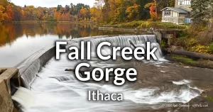
Description: Located in the City of Ithaca on the southern end of the lake, Stewart park is an excellent family destination complete with playing fields, swimming, picnic areas, duck pond, spray fountain and a classic carousel. A long shoreline provides beautiful views of the lake and a great place to hand-launch kayaks, canoes, and paddleboards. A large part of the park is a municipal golf course and the eastern portion is a bird sanctuary. Fall Creek meets the lake at this park.
Seasons/Hours: Year-round, from dawn until dusk.
Directions: South end of the lake. In the City of Ithaca. Off of NY-34, Google Maps.
Parking: Park in any of the lots along the park road. Space will get filled rapidly on event days.
Best time to visit: Spring through fall. Check for special events at this park.
Pets: Allowed, on leash, with proof of inoculation.
Admission: Free. $1 to ride the carousel.
Handicap accessibility: Yes. Even the carousel is accessible.
Swimming: None.
Boat Launch: None.
Accommodations: Restrooms; pavilions; playing fields; playground; fishing; tennis courts; picnic tables; grills; 9 hole golf course; duck pond; spray pool; carousel; nature trails; bird-watching.
Contact: City of Ithaca Parks: (607) 273-8364
Mud Lock Fishing Access Site
Description: This state-run fishing access site offers motor and non-motor boat launches and a small picnic area.
Seasons/Hours: Unknown. Closed in winter.
Directions: North end of the lake. River Rd. off of NY-90, Google Maps.
Parking: Across the street from the boat launch or in the small loop to the north.
Best time to visit: Summer.
Pets: Allowed, on leash, with proof of inoculation.
Admission: Free.
Handicap accessibility: Yes
Swimming: None.
Boat Launch: Concrete ramp.
Accommodations: Restrooms; fishing; picnic tables.
Contact: NYS DEC: (607) 753-3095
Dean’s Cove Boat Launch
Description: This state-run fishing access site offers motor and non-motor boat launches.
Seasons/Hours: Year-round, from dawn to dusk.
Directions: Northwest end of the lake. Off of NY-89 near Romulus. Google Maps.
Parking: Park in the large lot off from the boat ramp road.
Admission: $7 vehicle entry fee charged on weekends and holidays mid-May through Labor Day.
Pets: Allowed, on leash, with proof of inoculation.
Handicap accessibility: Yes
Swimming: None.
Boat Launch: Concrete ramp.
Accommodations: Fishing.
Contact: NYS Parks: (315) 568-5163
Canoga Marsh Wildlife Management Area
Description: Spanning 104 acres on the northwest side of Cayuga Lake, primarily focuses on wildlife management, the preservation of wildlife habitat, and fostering wildlife-dependent recreation. While there aren’t any designated trails in this area, visitors are permitted to hike throughout the property. The WMA is right on the lake, but the shoreline here is all marshland.
Seasons/Hours: Year-round, from dawn to dusk.
Directions: Northwest side of the lake. Off of NY-89 near Canoga. Google Maps.
Parking: Roadside on Canoga Island Rd.
Admission: Free.
Pets: Allowed, on leash.
Handicap accessibility: Yes
Swimming: None.
Boat Launch: None.
Accommodations: Fishing, hunting. gathering, birdwatching.
Contact: DEC Region 8 Avon Office (M-F, 8:30AM – 4:45PM), (585) 226-5380; [email protected]
Maps: WMA map.
Bell Station Preserve
Description: Situated on the eastern coast of Cayuga Lake in Lansing, Bell Station is an extraordinary estate boasting 3,400 feet of unspoiled shoreline, forested slopes, wide-ranging fields, and a number of small streams adorned with cascading waterfalls.
Seasons/Hours: Year-round, from dawn to dusk.
Directions: Southeast side of the lake. Off of Nut Ridge Road in Lansing. Google Maps.
Parking: Park roadside at the end of Nut Ridge Rd.
Admission: Free.
Pets: Allowed, on leash.
Handicap accessibility: Yes
Swimming: None.
Boat Launch: None.
Accommodations: Fishing, hunting. gathering, birdwatching.
Contact: DEC Region 8 Avon Office (M-F, 8:30AM – 4:45PM), (585) 226-5380; [email protected]
Maps: Brochure with map.
More Finger Lakes Guides
Explore more of New York’s Finger Lakes parks, beaches, nature trails, waterfalls and more in our handy guides.
Fishing Information
Common species
Smelt; lake trout; brown trout; rainbow trout; smallmouth & largemouth bass; northern pike; pickerel; perch; bluegill; crappie; rock bass; bullhead; yellow perch.
Best fishing spot
You can’t miss on Cayuga Lake, but some people swear by the eastern shore, particularly at Mud Lock Fishing Access Site on the northern end, just south of the Montezuma National Wildlife Refuge. Another popular spot is at John Harris Park in Cayuga.
Fishing conditions
For current fishing information, a fishing hotline is available at Central New York Fishing Hotline or by calling (607) 753- 1551.
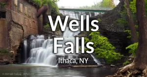
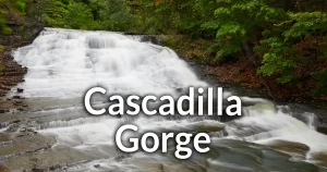
Nearby Waterfalls
Interesting Stuff
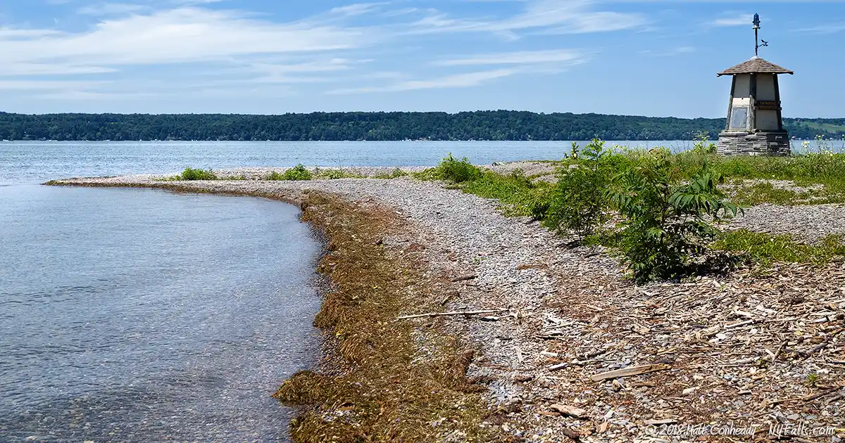
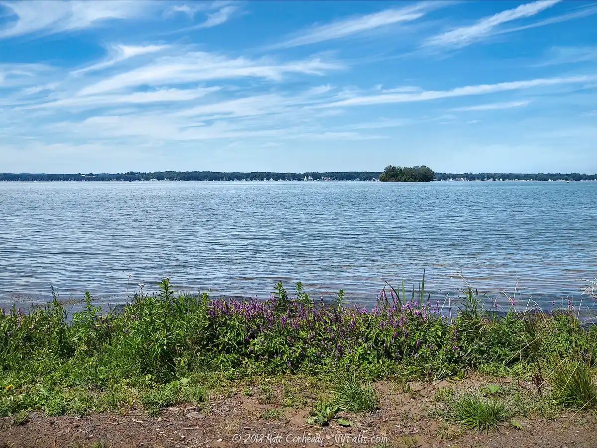
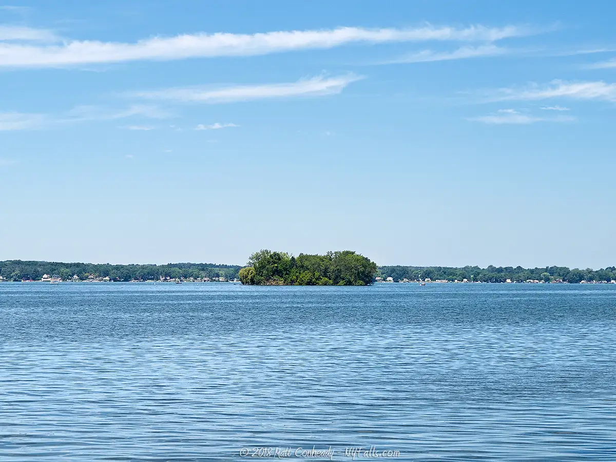
Frontenac Island
One of only two Finger Lakes to have an island. The other is Canandaigua Lake. Frontenac Island is located on the northern end near Union Springs. This island is really a tall pillar of hard limestone formed by a massive colony of Stromatoporoid and coral fossils, making the island extremely geologically unique.
Though excavations by William A. Ritchie carried out from the 1920s into the 1940s, evidence of Archiac period burials of Lamoka and Laurentian peoples were found. The burial dates ranged from about 5,000 to 3,800 years ago. Excavations recovered human remains, bone and marine shell ornaments (conch and welk), and copper artifacts, much in line with intentional ritualistic burials. While signs of habitation, such as hunted animal and fish bones, stone hearths, fire pits, and piles of round stones, which may have been heated for cooking. It’s unclear if people inhabited the island or these were objects used in the funerary tradition. Ritchie also uncovered evidence of ritualistic burials of 13 dogs and 1 bald eagle. Some of these artifacts are on display at the Rochester Museum and Science Center.
Unfortunately, some of this pre-history has been lost. In 1859, about a 3rd of the island was quarried to build a nearby embankment for the New York Central Railroad.
Guns of the Seneca
Considered a common phenomenon for coastal areas, residents claim to hear occasional pops, (sounding similar to cannon fire in the distance) coming from the lake. Cayuga and Seneca Lakes both have reports of this happening.
Montezuma National Wildlife Refuge
Capping the north end of Cayuga Lake is NY State’s only federally protected wildlife sanctuary (and adjacent protected state land). As amends for systematically destroying state wetlands and bird habitats with development projects, such as the Erie Canal (specifically the Seneca Canal, connecting Seneca and Cayuga Lakes) and the damming and flooding of Otisco Lake, this important marshland was set aside as a protected ‘natural’ area and is used extensively as a stop-over by many species of migrating birds.
The refuge is far from natural. Adjacent development projects, such as the canal, agriculture and the state’s own Thruway System (which bisects it), are constant reminders of the state’s priorities. The refuge itself has portions that have been engineered to expand its waterfowl habitat.
Naturally, the “tops” and “bottoms” of the Finger Lakes are, or were wetlands such as these. Development and public works projects have long since reduced them to their current and barely existent state.
The 7,000 acre Montezuma Refuge is rightfully protected, as it offers an experience of closeness to nature rarely found in this area. Positioned perfectly within the Atlantic Flyway, this area offers migrating waterfowl and other birds the perfect rest stop, feeding and breeding grounds. Visitors can drive or hike through the preserve and use many lookout areas to observe marshland wildlife. Bring binoculars. Fishing is prohibited, but hunting is allowed by permit.
Cayuga Lake Wine Trail
Take a trip down one side and up the other to get the full experience. Participating wineries offer activities, free collectors’ items and excellent hospitality. Many tours are offered and it is recommended you try them if you plan on drinking much. cayugawinetrail.com.
Cayuga Long Bridge
The north end of the lake was once spanned by what was, at one time, the longest bridge in the western hemisphere, the Cayuga Bridge, which was built of planks on wooden stilts. Completed in September of 1800, its total length was 5,412 feet, spanning from Cayuga Village on the east to Bridgeport on the west. It collapsed in 1808 and was rebuilt in 1813. It outlived its usefulness as a toll-less bridge to the north over the Montezuma marsh and the cheap and massive Erie Canal network was completed in 1825. In 1833, a new, more modern bridge was built just to the north. As the railroad industry revolutionized transport, the bridge was sold off and was no longer useful. Abandoned in 1858, its lumber was salvaged and used for portions of several structures in neighboring villages.
Evidence of at least one of the bridges can be seen in aerial imagery.
Who to Contact
General water concerns:
NYSDEC Bureau of Fisheries
625 Broadway Albany, NY 12233
Phone (518) 402-8920
E-mail: [email protected]
State boat launches/access
NYSDEC Region 8
6274 East Avon-Lima Road
Avon, NY 14414
Phone (585) 226-2466
E-mail: [email protected]
