Canadice Lake


Location: Ontario County, New York
Surrounding Communities: Canadice, Springwater.
Maps: Google Map, Topographic; Rob’s Trail Map; Forest Trail Map
GPS Coordinates:
- Northern Outlet: N 42.74074 / W 77.57202
- Southern tip: N 42.69376 / W 77.57275
Size:
- Area: 649 acres
- Length: 3 miles
- Max width: 0.3 miles
Max depth: 90 feet.
Volume: 11.5 billion gallons.
Water Quality: Very Good
Elevation: 1096 feet
Directions: Canadice Lake Rd runs along the east side of the lake. Use the entrance on Purcell Hill Rd. to get to the west side trail from the north. The trail ends on the southern end at Canadice Lake Rd. Use Google Maps.
Weather
Description
“Always beautiful”
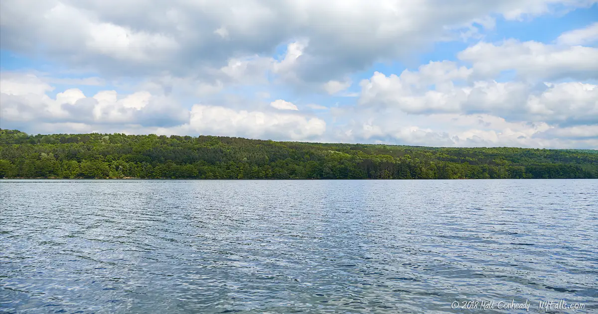
Canadice Lake holds two titles, the smallest of the Finger Lakes as well as the highest in elevation.
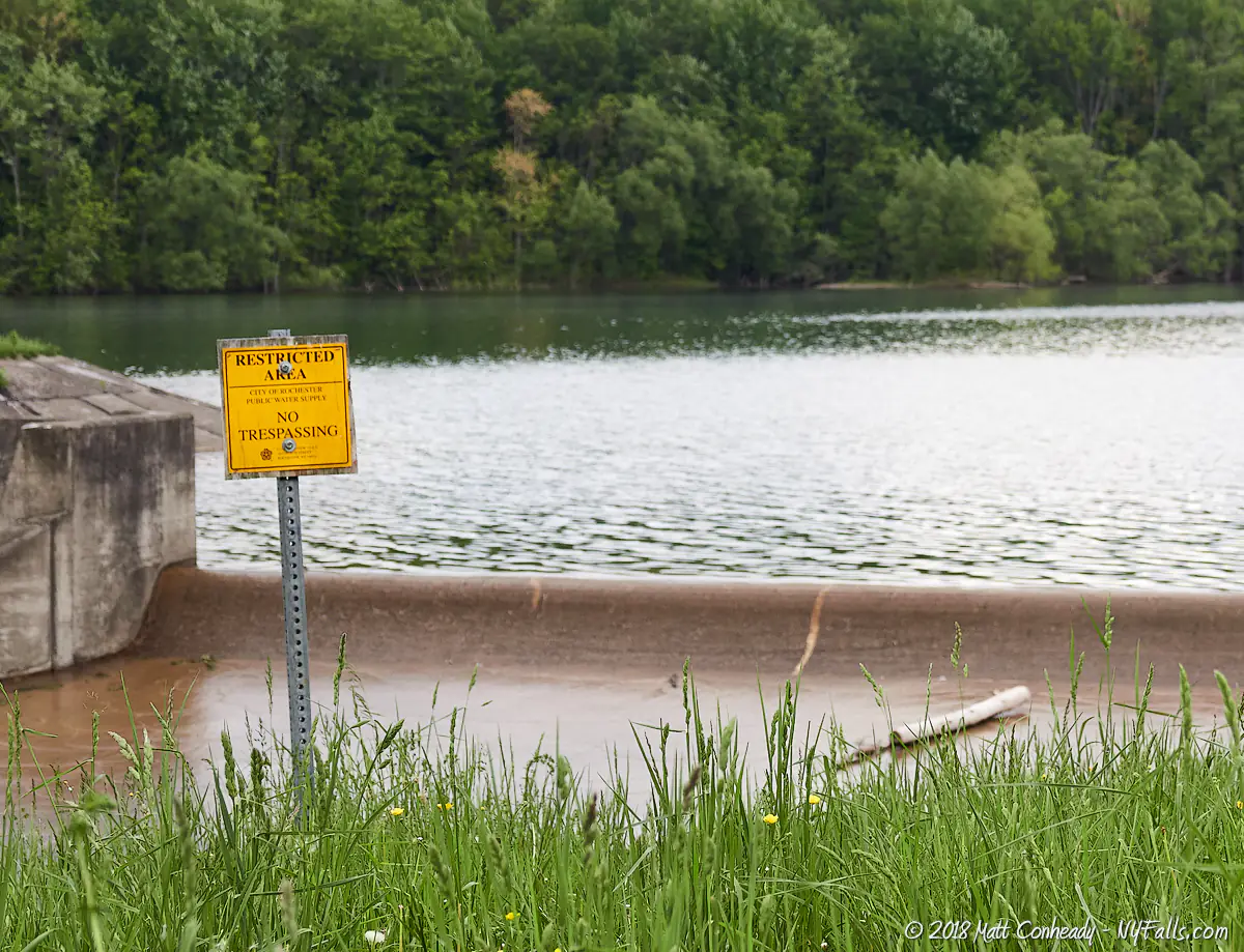
Hemlock and Canadice Lakes once blended in with the rest of the Finger Lakes with cottages along the shore. In 1872 the City of Rochester began buying up the properties surrounding the lakes in preparation for making them a source of clean drinking water for the city. In 1876, Rochester and neighboring communities began utilizing the lakes as a fresh water supply. By 1947 the city had purchased and removed all the cottages from the shore and continued buying adjacent land containing tributaries to protect the water from contamination due to development. This protected area now adds up to over 7,100 acres of watershed around the two lakes. In 2010, much of the city’s land was sold to the state and is run under the management of the Department of Environmental Conservation as Hemlock-Canadice State Forest.
With Lake Ontario being a vast, closer fresh water supply, one would wonder why Rochester would consider looking elsewhere, especially two smaller lakes 25 miles to the south. The answer lies in the lakes’ elevations, which are significantly higher than both Lake Ontario and the city. Having a set of lakes at elevations higher than the city allows for natural water pressure to build up and decreasing the need for robust pumping equipment. It also helps to have an isolated and controlled environment in order to preserve the cleanliness of the city’s water. Although some pumping is needed to draw water from Hemlock Lake, Canadice’s superior elevation builds up so much pressure, the city has no need for pumps.
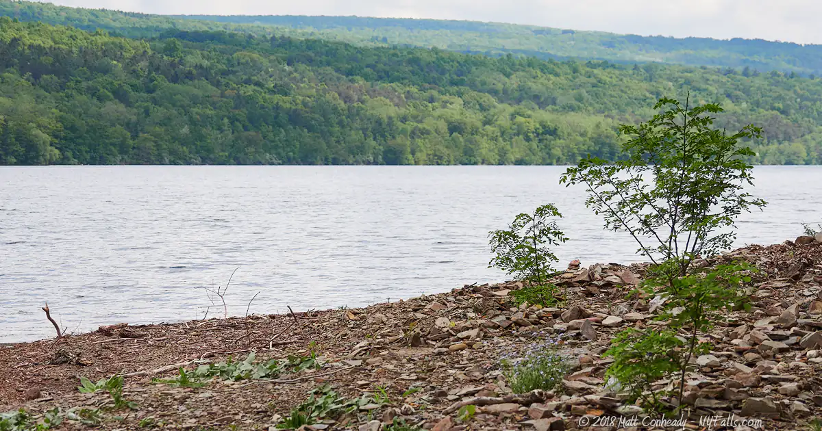
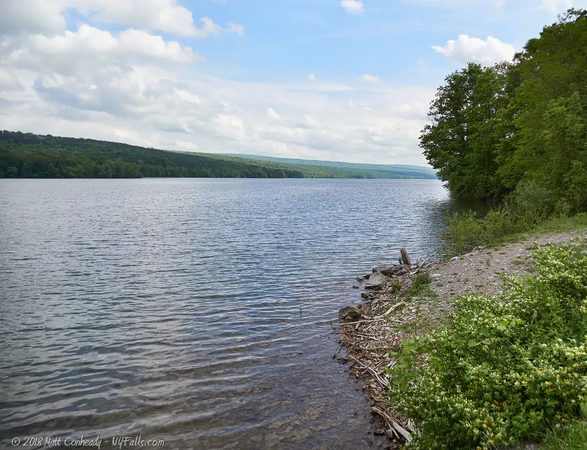
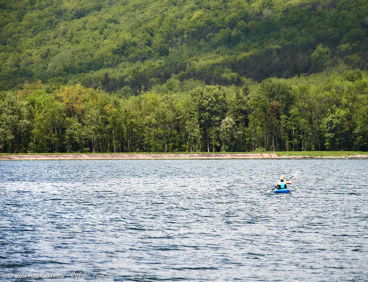
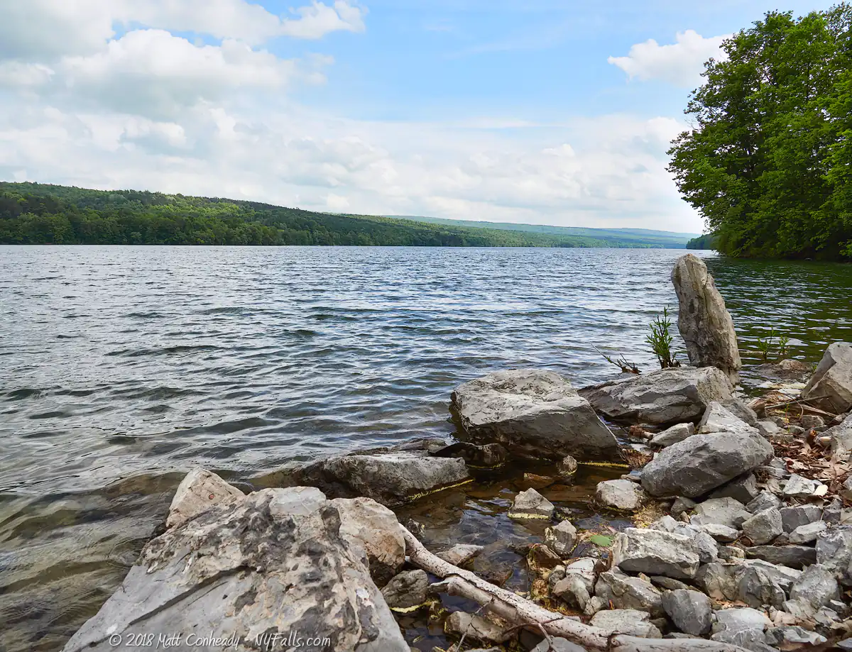
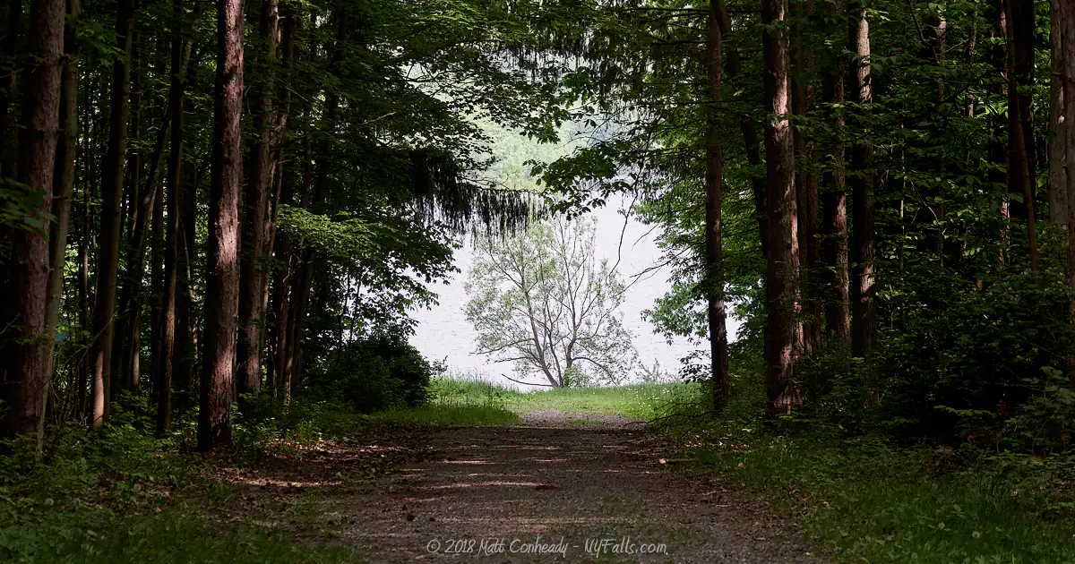
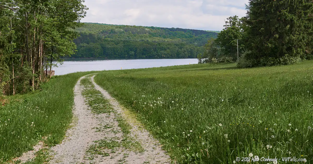
Canadice’s restricted access and undeveloped shoreline offers an experience you don’t often see on other lakes. Peaceful, calm waters with undeveloped shorelines. A long trail parallels the west side of the lake, offering visitors access to secluded fishing spots as well as excellent views of the surrounding second-growth forest. This trail follows what was once West Lake Rd when the lake was surrounded by cottages.
Canadice Lake Parks / Beaches / Access Points
A permit is no longer required, but please follow the rules and regulations listed on the DEC website.
North End
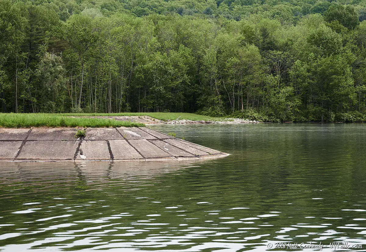
Description: The land surrounding Canadice Lake is virtually undeveloped. The easiest access point is at the north end where the lake is capped with concrete as part of the Rochester water supply. Pick up the Walnut Trail here.
Seasons/Hours: Year-round. Dawn to dusk.
Directions: Use Google Maps.
Best time to visit: Spring through fall.
Pets: OK on leash, must be cleaned up after. Not allowed near or in the water.
Admission: Free.
Parking: A parking lot at north end (20 Cars) off of Purcell Hill Rd.
Handicap accessibility: No.
Swimming: Not allowed at all. Pets are not allowed to swim either.
Boat Launch: There is a boat launch on the east side of the lake, mid-way down on Canadice Lake Rd. A hand-launch site can be accessed further south. (Map)
Accommodations: Fishing; hiking trails; boat launch.
Contact: DEC: (607) 776-2165; [email protected]
Hemlock-Canadice State Forest
Description: The Hemlock-Canadice lakefronts, as well as additional watershed land that encompasses the 6,684 acre state forest, was established to protect the two lakes and the Rochester water supply from contaminants. You are free to explore this land, as long as you adhere to the rules set up by the DEC. Read more here.
The Nature Conservancy has created Rob’s Trail, a foot trail that extends from the east shore of Hemlock Lake and the west shore of Canadice.
Directions: Trails lead from the boat launch areas, or south of the north end (this is a gravel road).
Pets: OK on leash, must be cleaned up after. Not allowed near or in the water.
Admission: Free.
Parking: Roadside.
Handicap accessibility: No.
Swimming: Not allowed.
Boat Launch: There is a boat launch at the north entrance (on the east side of the lake) and one hand/car-top launch at the southeast end of the Lake. Both off of 15A. (Map)
Accommodations: Fishing; trails; no restrooms.
Maps: Forest Brochure, Rob’s Trail Guide
Contact: DEC: 518-402-892; [email protected]
More Finger Lakes Guides
Explore more of New York’s Finger Lakes parks, beaches, nature trails, waterfalls and more in our handy guides.
Fishing Information
Common species
Smallmouth and largemouth bass; pickerel; lake trout; brown trout; rainbow trout; salmon; yellow perch; smelt; rock bass; bluegill; pumpkinseeds; bullhead.
Best fishing spot
Any of the trail offshoots off of the west side of the lake (follow the gravel road from the north end access point).
Fishing conditions
For current fishing information a fishing hotline is available at Central New York Fishing Hotline or by calling (607) 753- 1551.

Nearby Waterfalls

Interesting Stuff
Second Growth
The forests you walk through are old farmland, again reclaimed as forest.
Cottages
Old cottages have been removed, but you may still be able to spot some ruined foundations along the way.
Water Source
The City of Rochester filters and purifies the water at the lakes prior to piping it north. The water from Canadice Lake flows to Rochester completely by gravity.
Look out above
Keep your eye on the skies, The untouched shores and forests surrounding the lakes are an excellent nesting habitat for bald eagles and waterfowl.
Rob’s Trail
The trail is named after the late Rob van der Stricht, former board chairman of the local chapter of The Nature Conservancy. This trail serves as a tribute to his dedication to conservation and his love of the Finger Lakes region.
Who to Contact
General water concerns:
NYSDEC Bureau of Fisheries
625 Broadway Albany, NY 12233
Phone (518) 402-8920
E-mail: [email protected]
State boat launches/access
NYSDEC Region 8
6274 East Avon-Lima Road
Avon, NY 14414
Phone (585) 226-2466
E-mail: [email protected]