
NY State Rest Area (Silver Creek)


ocation: On the east end of Lake Erie; off of Rt 5; west of the village of Silver Creek; Town of Sheridan; Chautauqua County; New York.
Maps: Google map; Topographic; Interactive map
GPS Coordinates: Parking area off of Rt 5: N 42.53876 / W 79.21353
Directions: From Buffalo (north): Take the Buffalo Skyway (Rt 5) south through Lackawana and along Lake Erie for 33 miles. The pullover will be on your right, 2 miles past the village of Silver Creek. Look for the “Parking Area” sign.
From Erie/Dunkirk (south): You can follow Rt 5 (Lakeshore Rd.) east 3 miles outside of Dunkirk. The pullover will be on the left. Look for the “Parking Area” sign.
Use Google Maps.
Parking: Park along the pullover. There’s room for about a dozen cars.
Weather
Information / Accessibility / Accommodations
Seasons/Hours: Open year-round. Day and night.
Admission: Free.
Best time to visit: Spring through fall.
Time: A few minutes to check out the lake.
Handicap accessibility: No.
Pets: Allowed if kept on a leash, which is the county law. Bring bags to clean up after. Pet waste is a significant contributor to lake bacteria levels.
Swimming: Not allowed, and certainly not advised.
Boat launch: None. Use the boat launch at Sunset Bay.
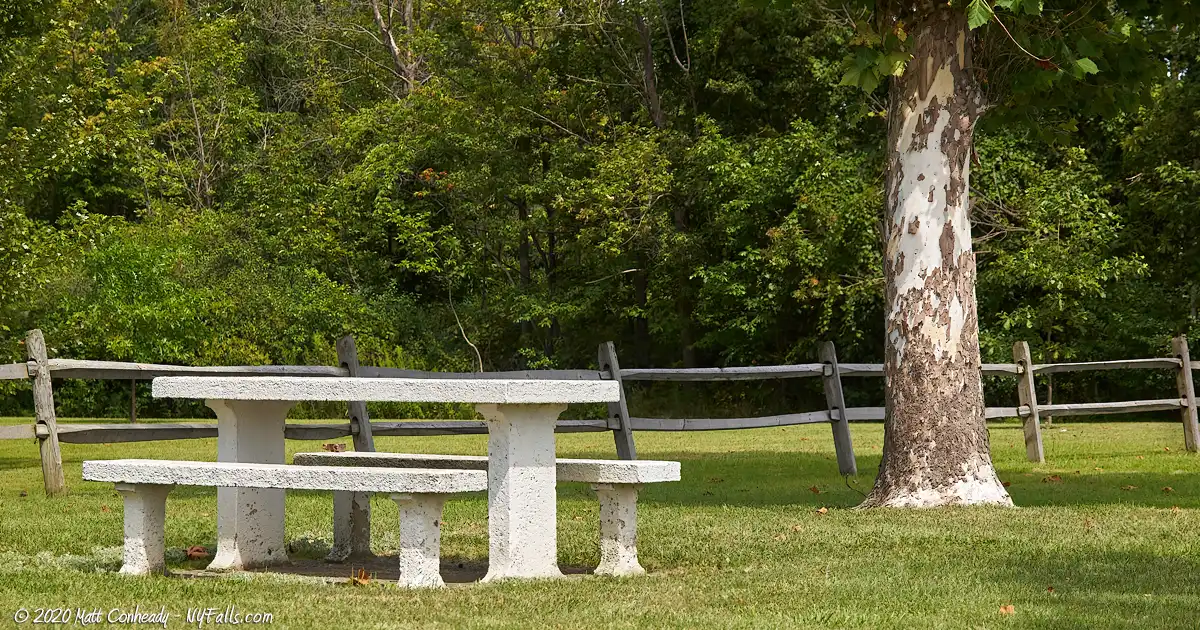
Accommodations: Picnic tables. No restrooms.
Description
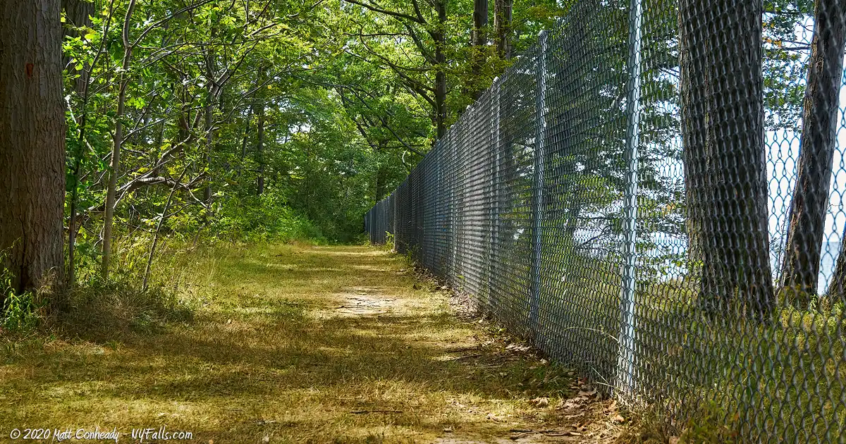
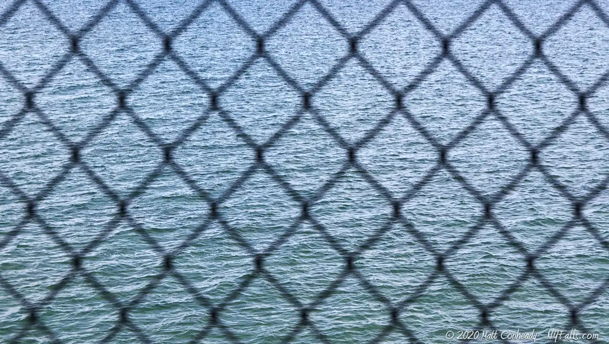
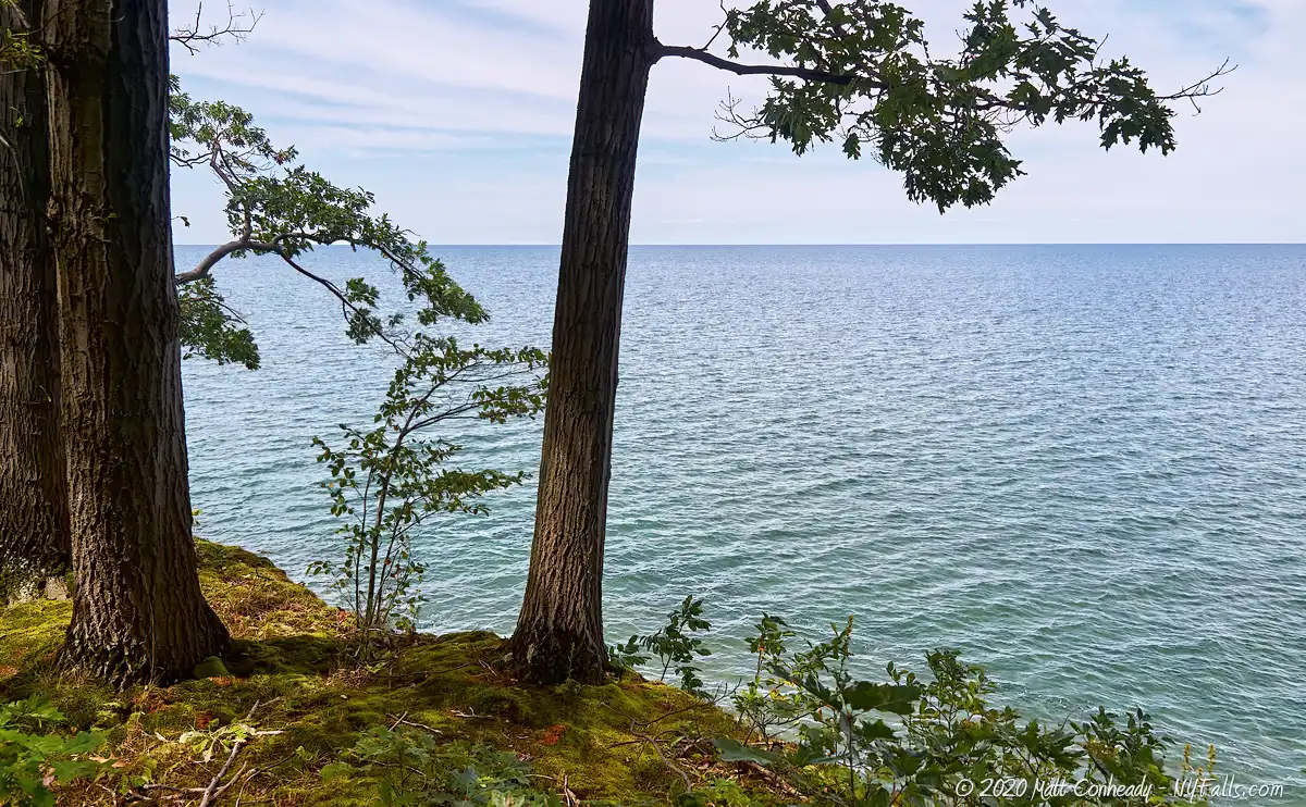
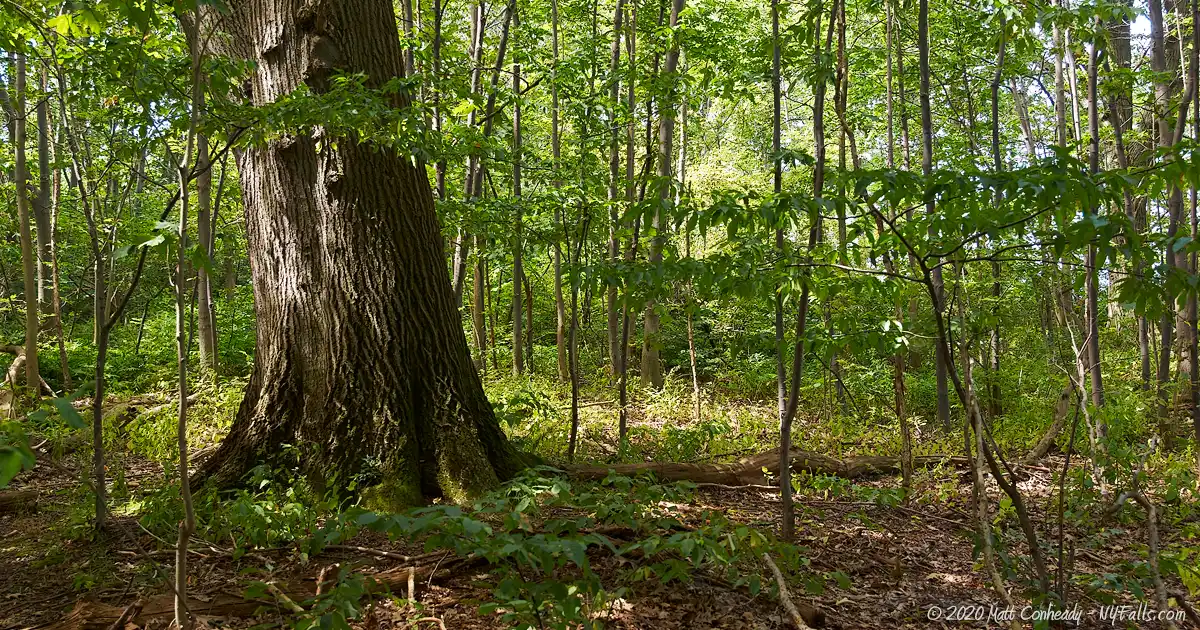
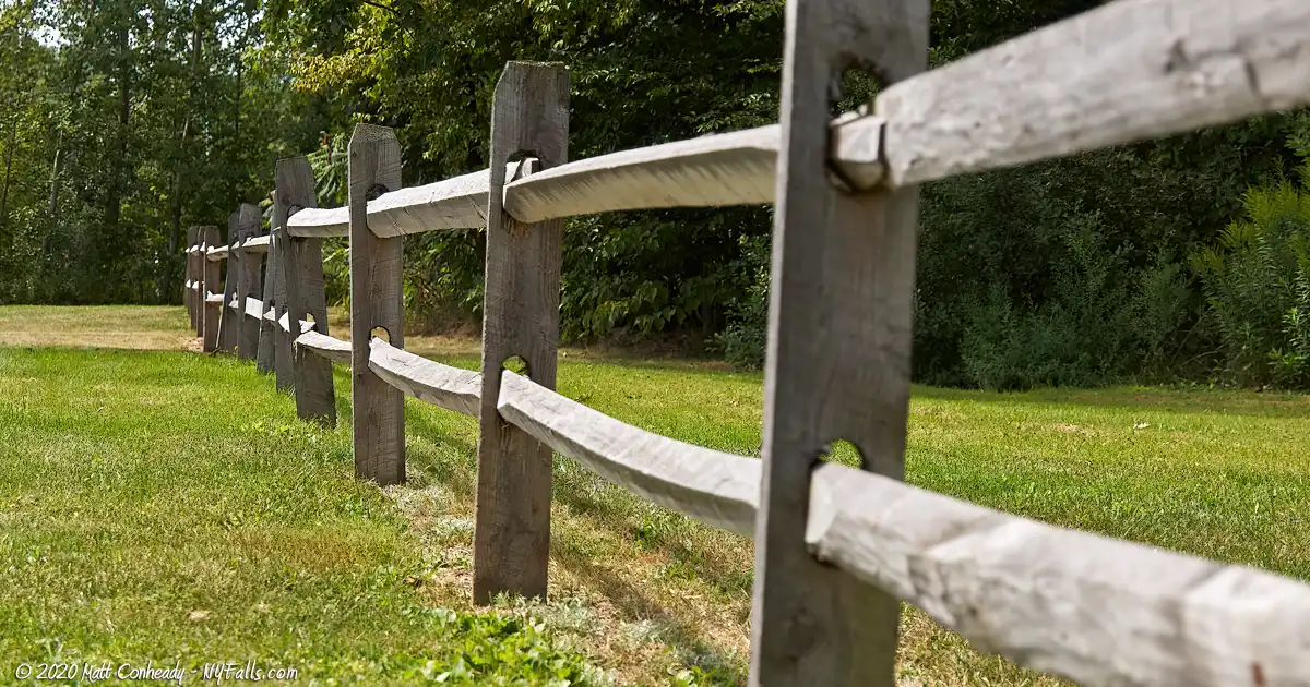
There’s not much to this state-run rest stop on Route 5, west of Silver creek. For long drives, it’s a pretty peaceful picnic area, with clean tables and ample parking. The property has a small wooded area, but not enough for a hike, and although it has a mowed area leading to the lake, a large chain-link fence prevents any access to the shore.
History
No information.
Hiking / Walking Trails
Difficulty: Easy
Distance: A hundred feet or so.
Markings: None.
Description: From the picnic area head east and then follow the mowed area to the back of the property and towards the lake. A chain-link fence prevents access to the beach, but when we were there, a couple managed to hop the fence and climb down. It’s a pretty steep cliff below, and probably very dangerous. Don’t do this.
Map: Check out our interactive map.
Silver Creek Rest Area Interactive Map
Interesting Stuff
New York State Route 5
Beginning at the Pennsylvania state line in the town of Ripley, State Route 5 spans 370 miles west to east across New York, passing through Buffalo, Syracuse, Utica, and Schenectady, ending up in Albany. Along the way it overlaps with State Route 20, leading to the common name of both routes as simply “5 & 20.” Several small towns and cities, as well as countless curiosities, eateries, and historic sites can be experienced along its path.
Photography Tips
More tips
- See the Articles and Message Board sections for more photography tips.
Who to Contact
NYS DEC – Region 9 – Great Lakes
Phone: (716) 851-7130
dec.ny.gov
