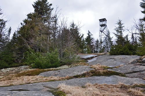
Located North West of the village of Long Lake, this hike is 6.2 miles round trip with an elevation change of 1150 feet. The tower is 35 feet tall and erected in 1919, it was abandoned by the state in 1970 as with most of the towers in the Dacks. The tower was restored to public use in 2004 by the DEC and friends of the tower. The trail is easy hiking with little gain until you reach the remains of the fire observer’s cabin at 2.8 miles. We hiked this on April 17th and there was still 3 to 4 feet of snow, we did some post holeing and should have had snowshoes and crampons (would have been easier). When we reached the trailhead I saw a large bird leaving the trees on the lake, I didn’t have my big lens on or binoculars. The sun was just right to not get a good ID on the bird by my guess would be an Eagle or Osprey. I know eagles have been spotted in the Long Lake area.
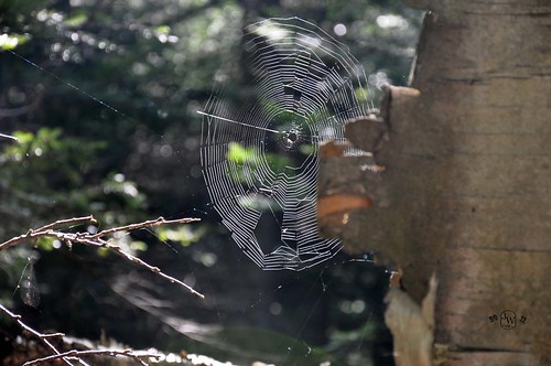
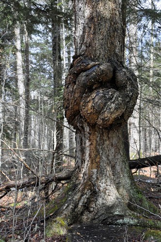
A large knot
1st view of the tower
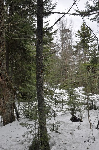
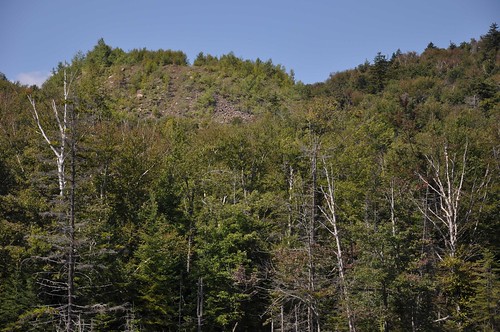
through the trees
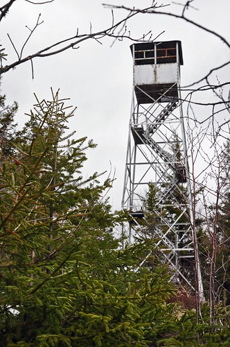
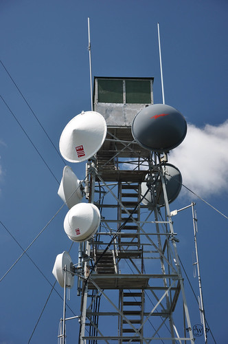
the tower
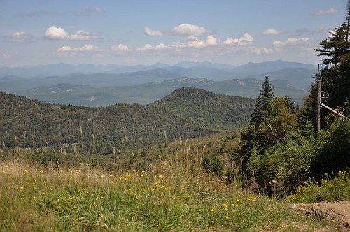
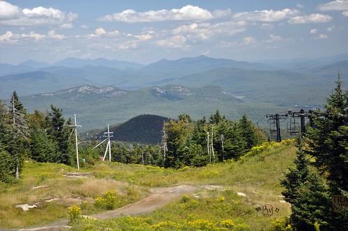
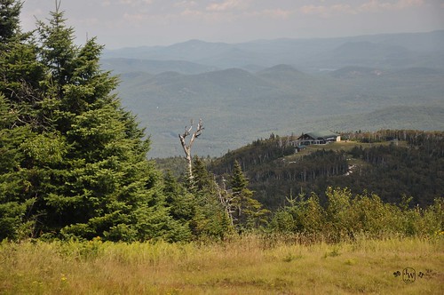
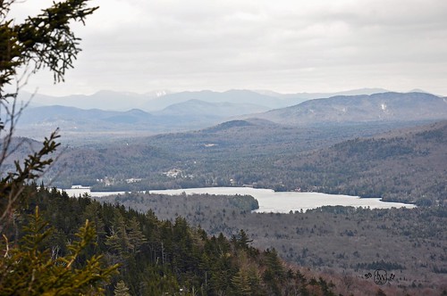
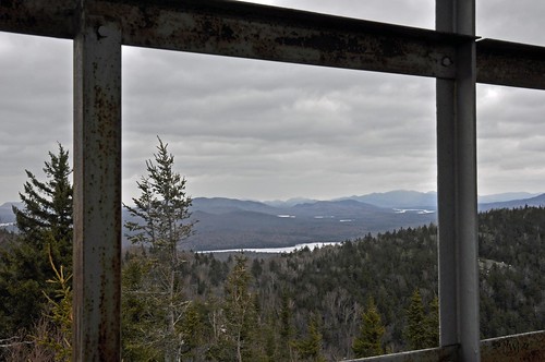
Lake and mountains
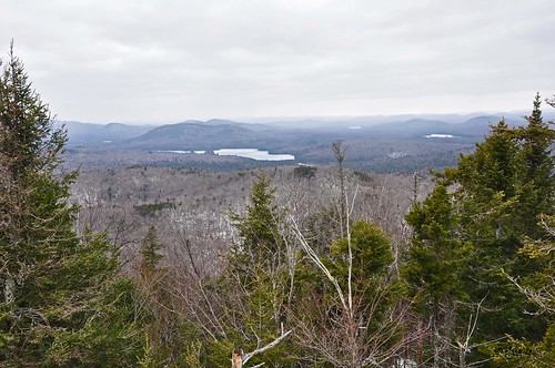
another view
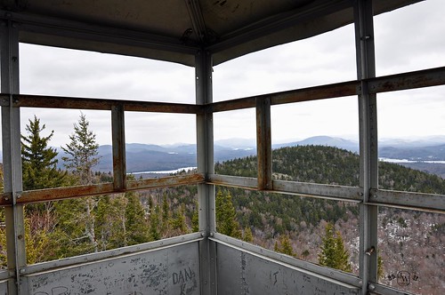
A couple different shots
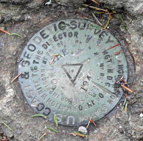
survey marker